Alpine Hike from the Stoderzinken across the Grafenbergalm to the Kufstein

średnio trudne Hiking · Gröbminger Land

Charakterystyka wycieczki
Warunek
Technika
Przygoda
Krajobraz
Informacje o wycieczce
Trasa: 15.81 km
Okres obowiązywania: 6.5 h
Wejście: 576 m
Zejście: 1398 m
Najlepsza pora roku
Styczeń
Luty
Marzec
Kwiecień
Maj
Czerwiec
Lipiec
Sierpień
Wrzesień
Październik
Listopad
Grudzień
Wycieczka
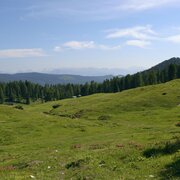
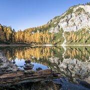
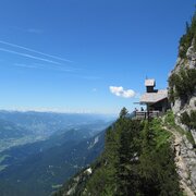
Already at 1,890 meters we start this high-altitude hike with a very special character. We march through a beautiful light larch forest before a dark spruce forest surrounds us a little later. The path high above the Ahornsee lake is characterized by a unique humpback landscape with beautiful clearings. Again and again we enjoy the beautiful views. A wonderful place to rest is offered to us in the idyllic alpine basin of the Grafenbergalm, before we continue on to the magnificent view peak Kufstein.
Opis drogi
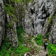
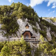
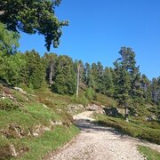
Our hike begins from the Stoderzinken parking lot at the end of the (toll) alpine road in Gröbming. The trail with the number 675 leads us first slightly downhill to the Brünner Hütte, from there we hike through the "Brandner Urwald" (Brandner Primeval Forest) in a westerly direction (trail no. 618). Over a narrow forest path, which first leads steadily downhill and then in a slight up and down through wide depressions, then again over humps and small rocky lanes, we reach the hill above the Ahornsee. In the last quarter we hike very close to the edge of the break-off high above the Grafenbergsee. Over beautiful alpine meadows we reach the alpine basin of the Grafenbergalm. From here we choose trail no. 667 to the highest point of our hike, the Kufstein (2,049 m). Our descent is via the Stornalm. At the Schartl we continue on trail no. 667 and end our hike at the Burgstaller in Ramsau-Rössing.
Przyjazd
Ennstalbundesstraße (B320) to Gröbming - from there follow the approx. 12 km long toll Stoderzinken Alpenstraße
Unfortunately there is no public transportation available!Arrival by cab is recommended, since the starting point of the hike is not the end point of the hike.
Parkowanie
Parking area at the end of the Stoderzinken Alpenstraße
Start
Stoderzinken car park at the end of the alpine road
Cel
Burgstaller Ramsau Rössing
Equipment
Sturdy shoes, rain gear, hiking sticks

To też może Cię zainteresować

Prognoza pogody

Wybierz datę
rano
7°C
w południe
22°C
wieczorem
18°C
Early clouds will clear to leave the region with a dry and sunny day.
rano
9°C
w południe
25°C
wieczorem
20°C
Some clouds in the morning, lateron much sunshine and hardly any clouds
rano
10°C
w południe
22°C
wieczorem
17°C
Dry and bright with plenty of sunshine, clouds will be rare.

Podobne wycieczki w okolicy