
Grimming-Donnersbachtal
2-Summit-Tour Karlspitz and Schreinl
Hiking trail
Data:
Tour description
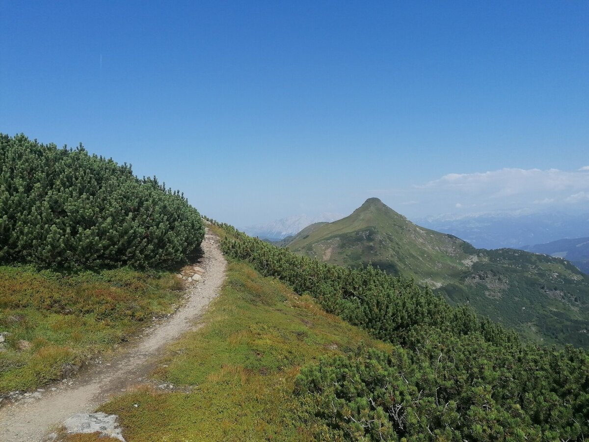
ONE IS NONE. The two for it everything! Up the Almsteig, across the long cirque past the picturesque lake and further uphill to Karlspitz. Here a short break before the mountain pines sweeten the way towards Schreinl. Grandiose views without end.
The tour
moderate
Starting and end point
Parking Planneralm
Tour characteristics
Fitness (3/6)
Information
Distance: 8.99 km
Duration:
3 h 40 min
Ascent: 690 m
Descent: 690 m
highest point: 2154 m
Best season
Jan
Feb
Mar
Apr
May
Jun
Jul
Aug
Sep
Oct
Nov
Dec
Map, elevation profile & further information
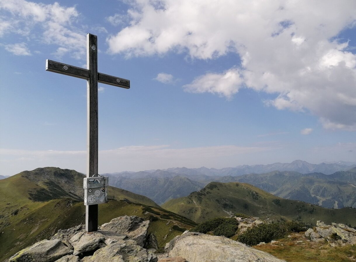
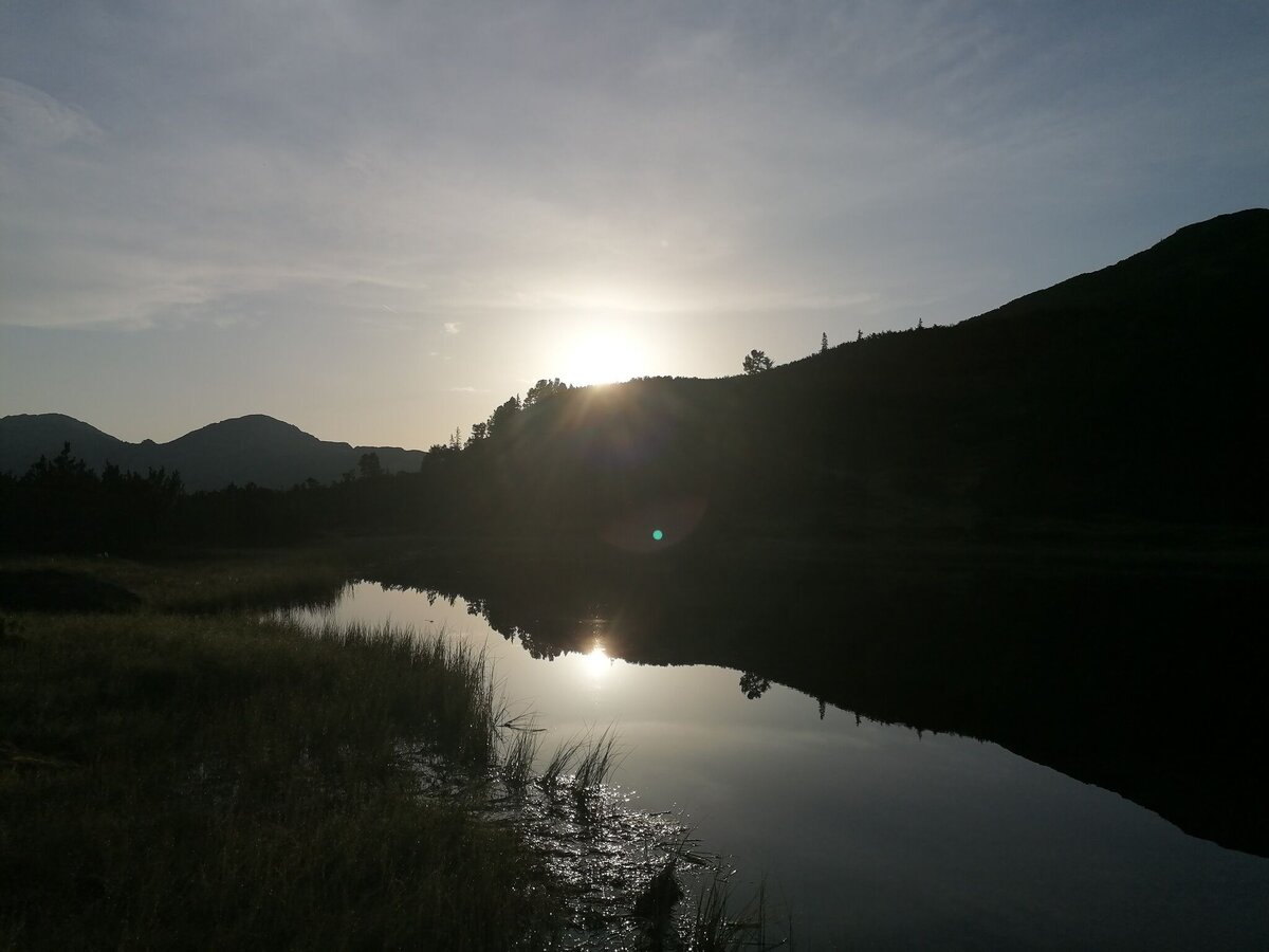
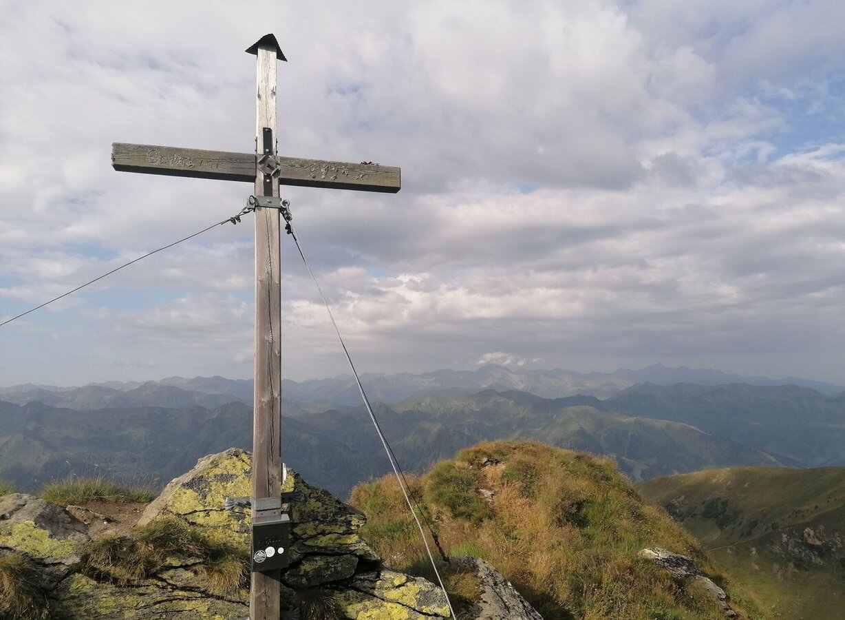
Your hiking tour starts from the large parking lot, past the Infoportal, to the Alpengasthof Grimmingblick. After a few meters you go to the right for a short distance over meadow and forest before you come to the first stony ascent. The path continues over a beautiful cirque to the next ascent (Kothüttensee is on the lower left) and on to the ridge. Along the ridge, with a view of the Karl lakes and the Goldbachsee, the trail leads directly to the summit cross at the Karlspitz. After a short break and the entry in the summit book, you march left along the almost level path. At the end, it's uphill again before you reach the Schreinl. Two summits at once - that's something. You can hardly get enough of this magnificent mountain scenery. You can return along the same path or via the Goldbachscharte, from where it then goes left down into the mountain village.
From the Ennstalbundesstraße (B320) at the Trautenfels traffic circle turn off in the direction of Irdning, Donnersbach, Donnersbachwald. In the village of Donnersbach after the village center turn left towards Planneralm. 12 km long ascent via the toll-free mountain road up to the Planneralm.Free Parking Planneralm
- Plan your tour in advance, taking into account walking time, route length, altitude difference, danger spots and weather forecast.Together is much more beautiful and at the same time safer in the mountains.
- Do not go alone, if possible, and adapt the tour to the ability of your group.
- Let them know where you are going and when you want to be back. Also sign hut or summit books.
- Turn back in good time if the weather deteriorates. If you get caught in a thunderstorm, do not stay on the summit or ridge and stay away from individual trees. Wait out the storm, if possible in a crouching position.
- Stay on the marked trails and remember to close pasture fences again.
- Getting up the trail is only half the battle. Stay alert, especially on the descents, to make it back to the valley safely.In case of emergency, keep calm and call the mountain rescue on 140. If you have no reception, take out the sim card and dial 112.
- If you encounter cows: It is best to pass above the herd with at least 50 meters distance. Stay calm, don't make any frantic movements and don't run away. Do not imitate cow sounds and do not try to pet the animals. A stick and loud shouting can often make the animals turn back in an emergency.
- If you are a dog owner: Clarify before the hike if you have to cross a pasture. Keep your dog on a leash and make sure he stays calm. If a cow attacks, let the dog off the leash immediately. Never pick him up to defend him.
- You can get detailed information on "Safe Mountain Hiking" from the Alpine Club. At www.alpenverein.at you can inform yourself comprehensively about it.
Suitable footwear goes without saying.
Go eating to the Gastof Grimmingblick, to the Latschenbrennerei or 2 kilometers under to the Schrabachalm.Tourism information: www.schladming-dachstein.at
Tourist Office Schladming-Dachstein
Ramsauerstrasse 756
8970 Schladming
T: +43 3687 23310
info@schladming-dachstein.at
- SCHLADMING-DACHSTEIN Hiking EAST. Available free of charge at tourist offices and lodging establishments.
- SCHLADMING-DACHSTEIN Hiking Map (1:50.000)


