
World Cup Trail Planai
Tour description
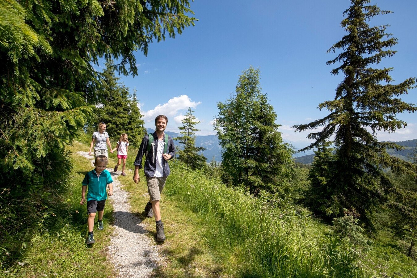
The tour
Map, elevation profile & further information
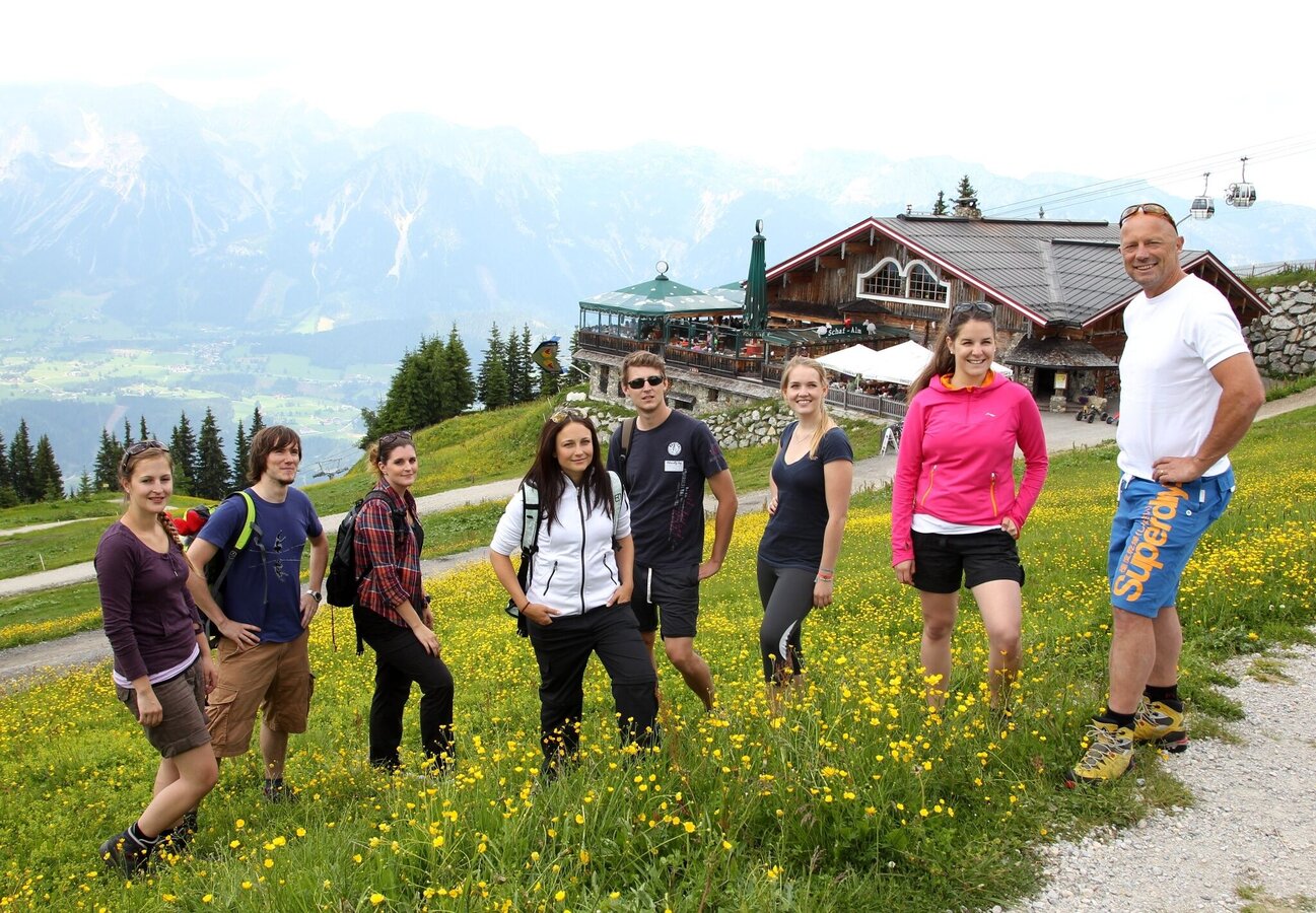
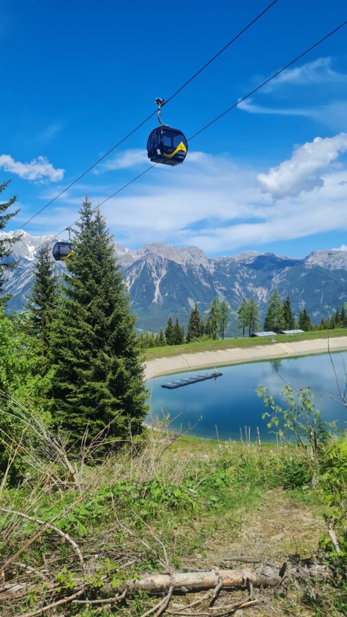
From the mountain terminal of Planai cable-car start downhill on trail n° 779. You pass by Schafalm on the well maintained trail via a couple of switchbacks. A short passage through the forest and then along the FIS ski slope takes you to the starting area of the Alpine World Championships' Downhill event.
Further downhill you walk through sections in the forest or along the FIS Alpine Downhill slope. A bit below the Bruckmoos pond you walk across the meadow (ski slope in winter) and head towards the Lärchkogel slope. Here you turn off from trail n° 779 and walk towards the mountain terminal of the 1st section of the Planai cable-car, which you will reach after a couple of minutes via several switchbacks. At this point was the start of the Alpine World Championships' Super-G events.
Further downhill to the town
From here, there are two tour options:
Option 1 with a detour to Wieslechalm:
From the middle station, hike to Wieslechalm and then follow the Einzelsockenpfad or trail n° 50 back down to the valley.
Option 2:
From here you hike down through high forest of Fastenberg to Breilerhof farm. From Breilerhof you walk along the road for a short section - passing by the carpentry Schrempf - until you reach Planaistraße road. You cross the street and also Fastenbergstraße road after it and walk through the forest for a short section until you reach Harreiterweg road. Passing by the Holzhackerstube inn you make your way downhill through a tunnel beneath the Downhill slope, where the starting points of the Alpine World Championships' Giant Slalom events were situated.
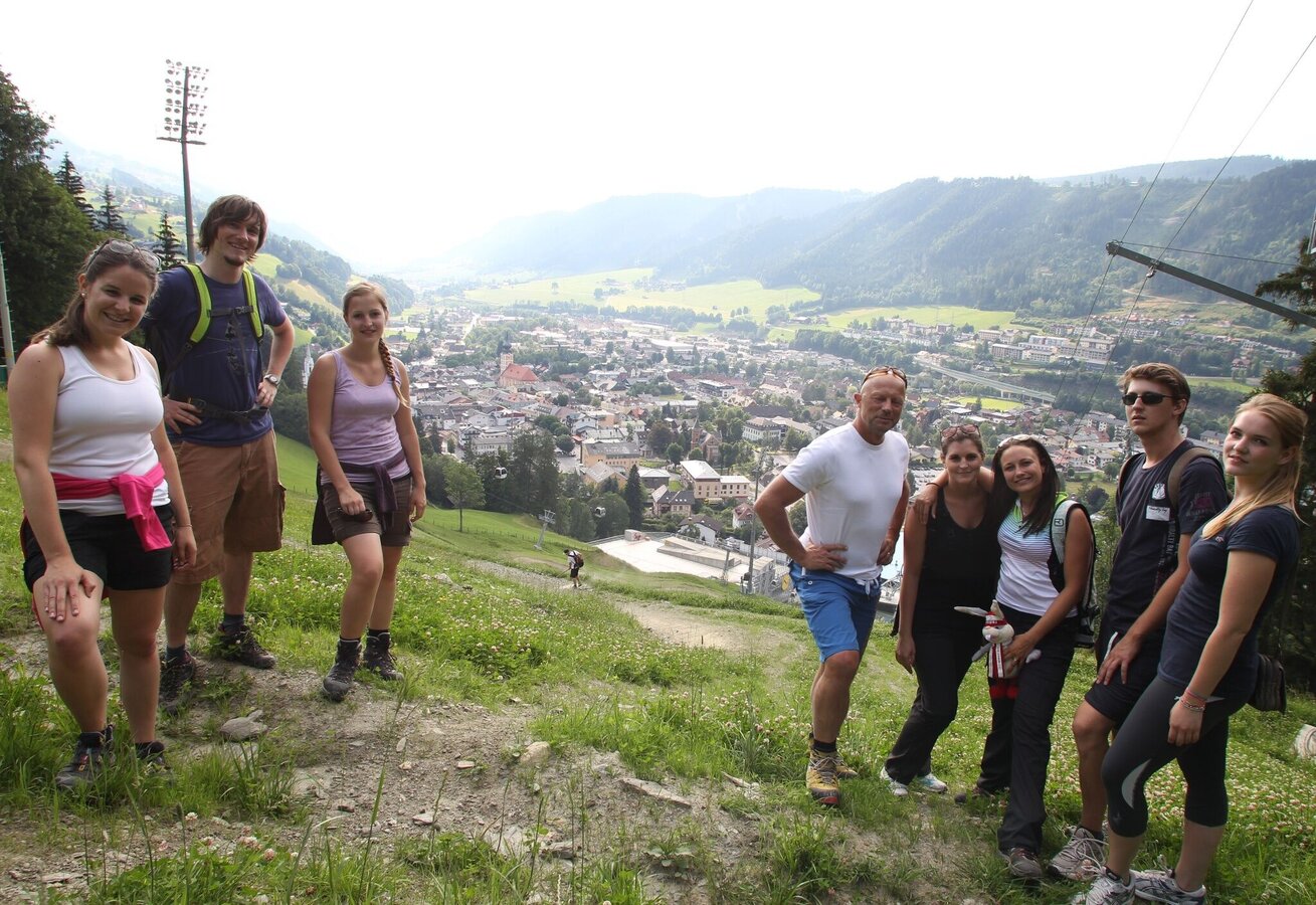
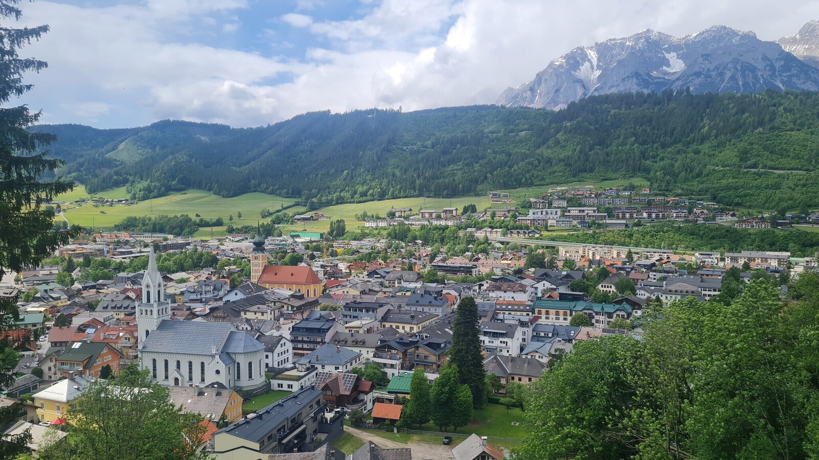
The Harreiterweg then leads into the forest, where you turn off on the hiking trail just after a few meters in the forest and walk down 2 switchbacks and again reach the Harreiterweg. Follow it to the right for a few meters and then turn off left onto trail n° 53 again, which takes you further downhill towards Schladming. After about 20 to 25 minutes descent through the forest you reach a great viewpont on top of the final slope of the Planai ski area. Here you have a great view to the finishing area of the World Cup events and the legendary Nightrace, as well as across the beautiful mountain town of Schladming.
In only a couple of minutes you reach Berggasse street via a gravel trail. At Berggasse make a right and after 300 m make a right again into Schießstattgasse street, which takes you directly to the valley terminal of Planai cable-car at Planai-Stadium.
Trail characteristics
The trail for the most part is a 1 meter wide gravel trail.
In the town of Schladming you can take the Citybus. From Rohrmoos take the Planai buses to Planet Planai, from Ramsau take the buses of Ramsauer Verkehrsbetriebe.
- Citybus and buses from Rohrmoos - www.planaibus.at
- Buses from Ramsau - www.rvb.at
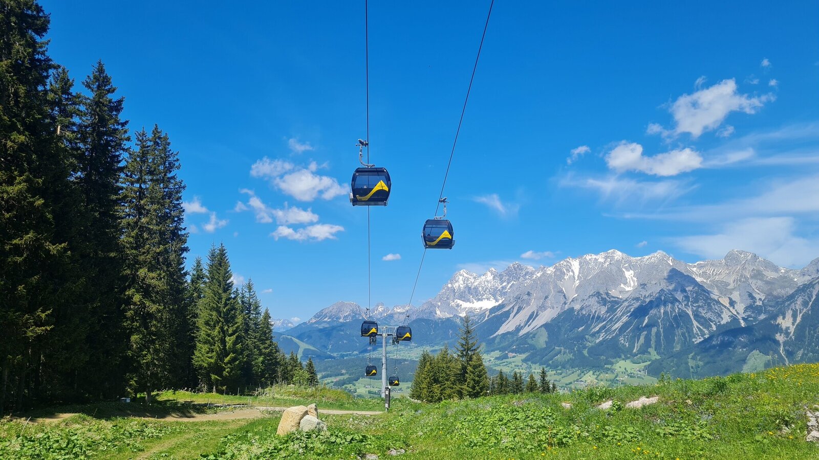
From there take the Planai cable-car to the top.
- Operating times of Planai cable-car: www.planai.at
Changes in weather patterns, quick falls in temperature, thunderstorms, wind, fog and snow are some of the dangers that can be encountered on a hiking tour. Hosts of alpine huts and mountain refuges have a lot of experience in the mountains and can give good advice about weather and the trails. Poor equipment, overestimation of one's own capabilities, carelessness, poor personal constitution and/or wrong judgement can lead to critical situations. In case of thunderstorms: avoid summits, ridges and steel ropes.
GPS data and orienteering
Available GPS data - just like hiking maps - is only a guidance for orientation and can never depict a trail exactly with all its details. Especially at dangerous spots it is essential to judge on site how to proceed.
In an emergency please call:
- 140 - for Alpine emergencies (all over Austria)
- 112 - European GSM emergency number
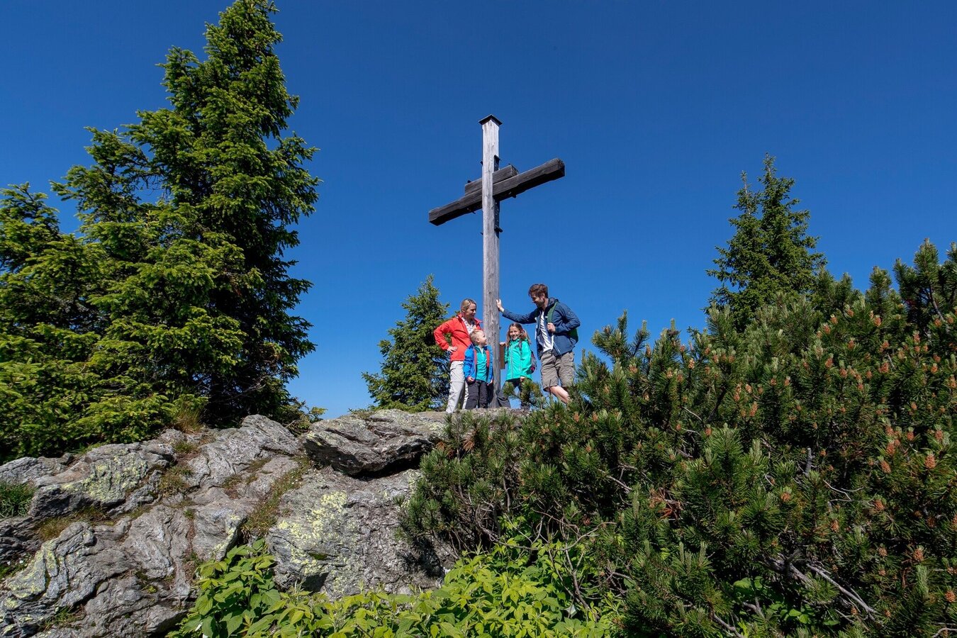
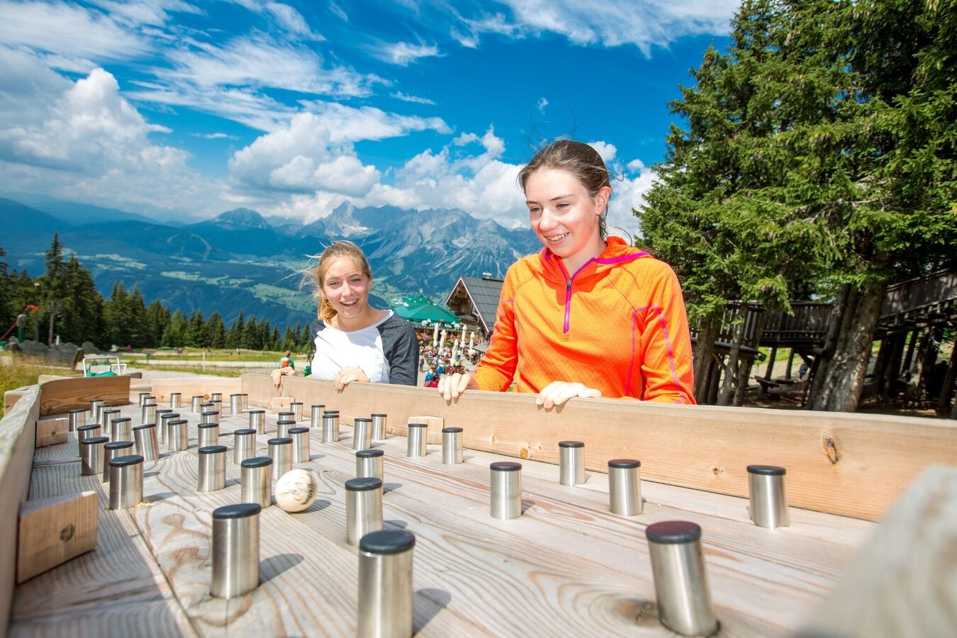
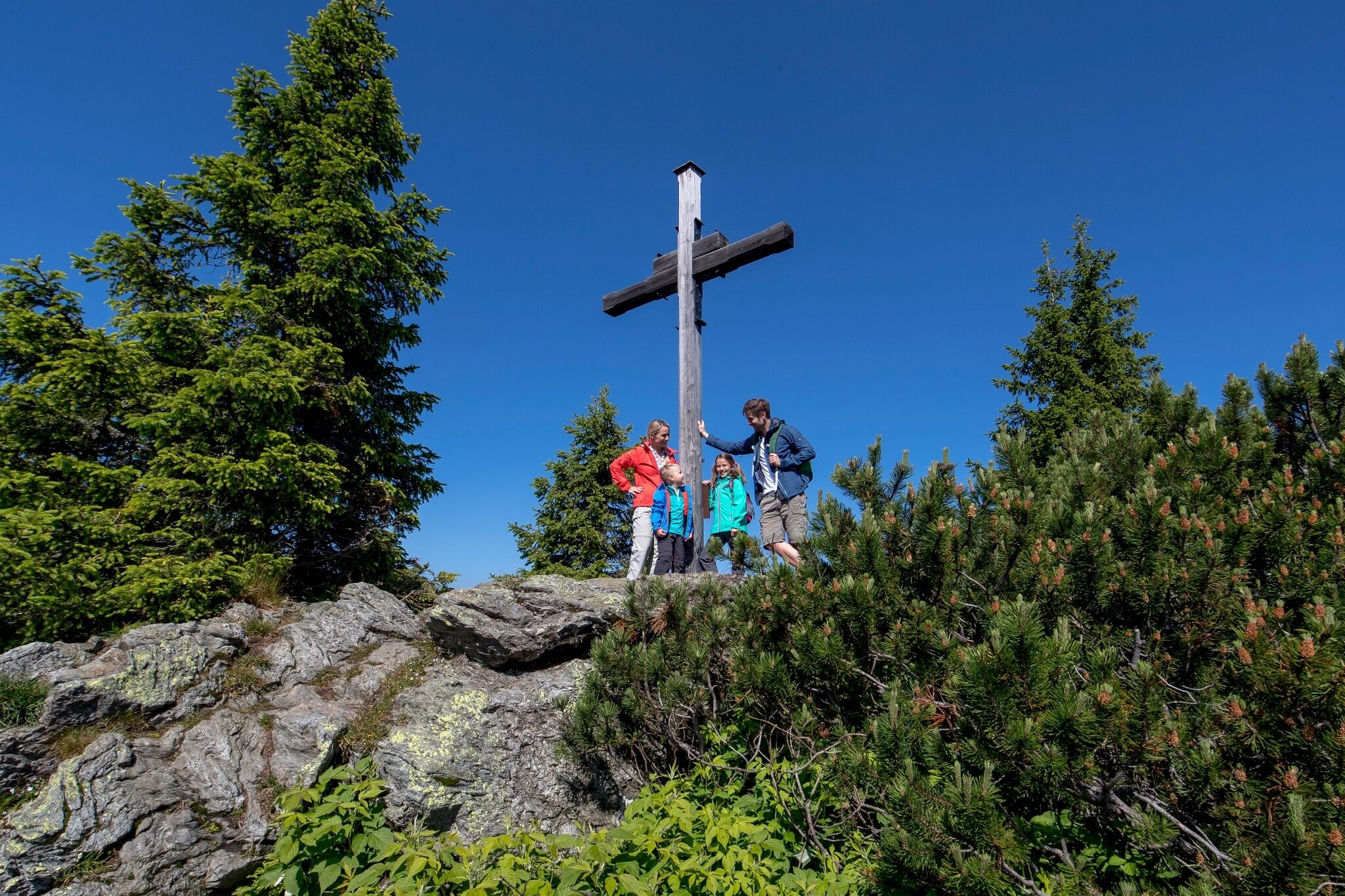
Plan an entire day for a day at Planai and walk along the World Cup trail: there is a lot to do and see, e.g. the Planai Panorama Trail, the Hopsiland Planai (a huge playground for kids), a high ropes garden and of course many culinary delights at the various huts and chatets.
Infpormation about bus schedules: www.planai.at, www.rvb.at
Information about cable-car hours: www.planai.at
- Hiking map ‘Hiking WEST’ available at the information offices in the region.
- Schladming hiking map, 1:25,000, available at the Schladming information office.
- Hiking map Schladming-Dachstein, 1:50,000, available at the information offices in the region.
- Hiking guide Schladming-Dachstein by Herbert Raffalt, available at the information offices in the region.


