
Wild Waters Family Hike
Tour description
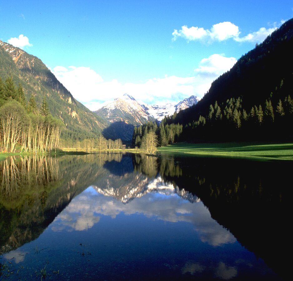
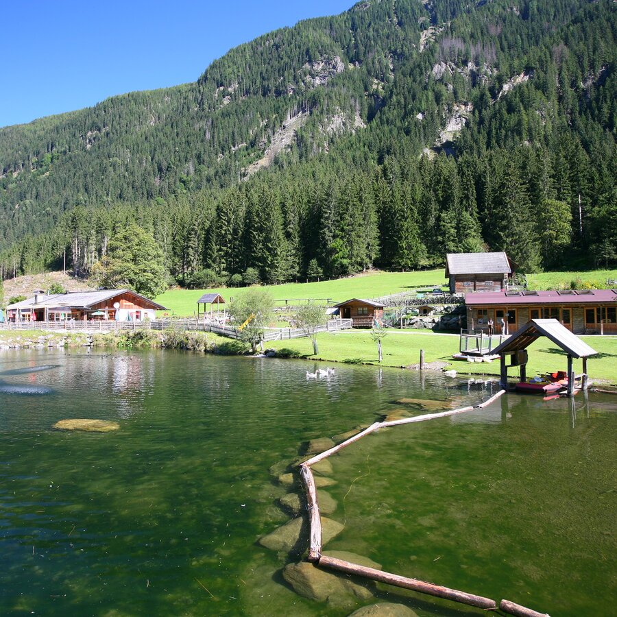
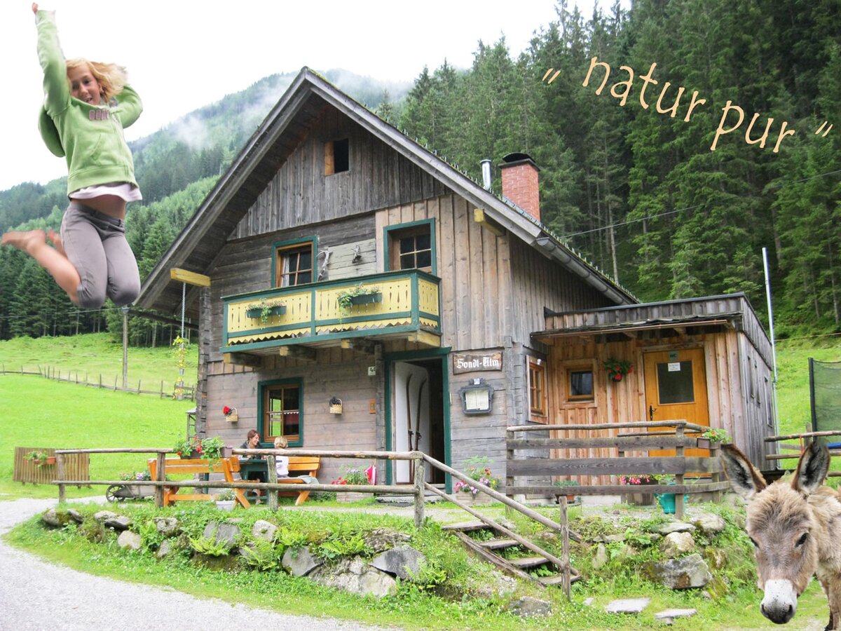
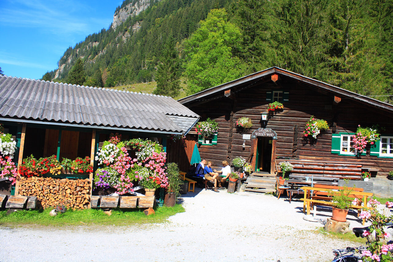
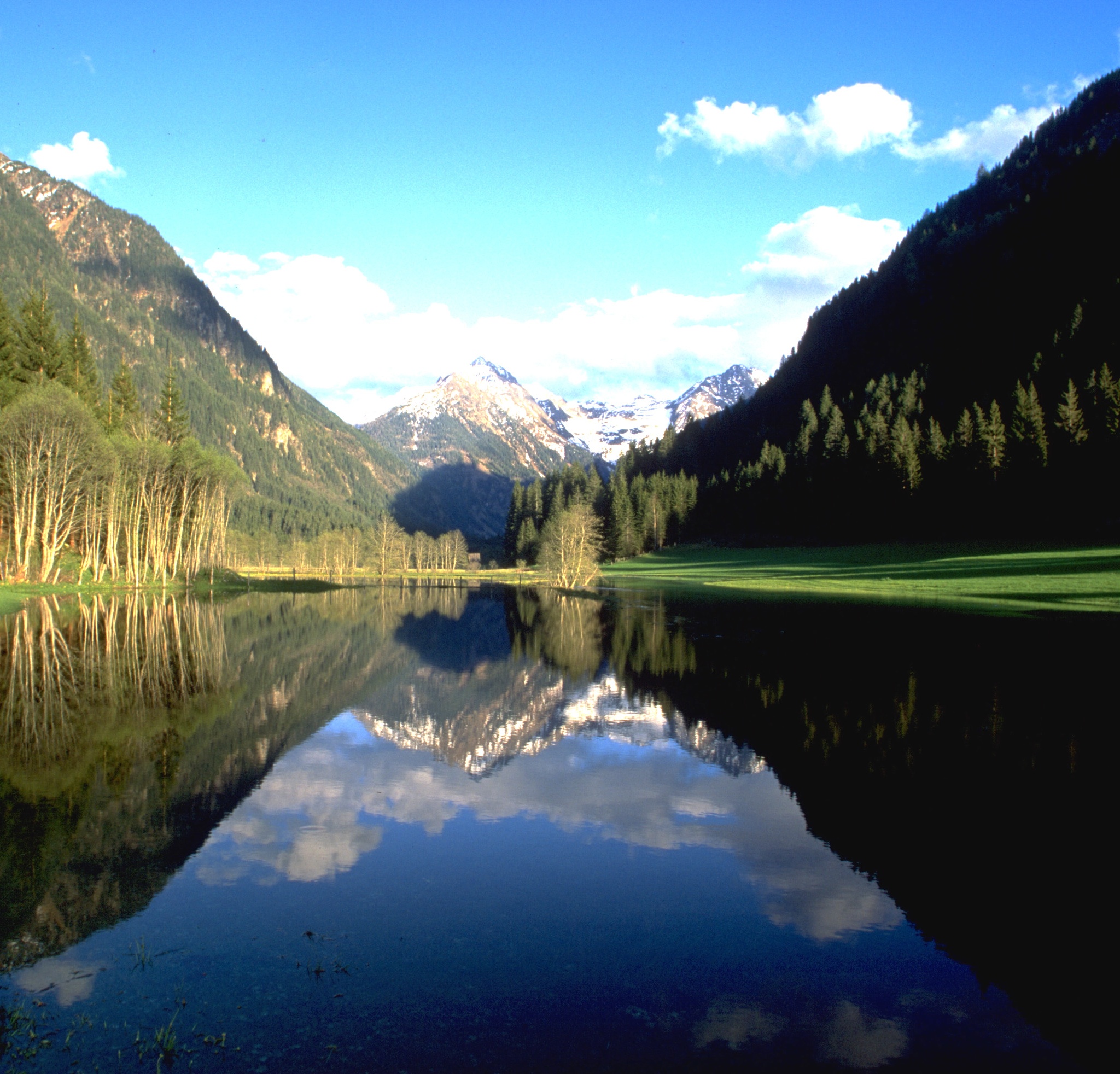
From Hinkerbrücke car park, you will walk towards Gasthof Tetter. Above Tetter moor you will encounter many info points relating to the water theme, finally coming to the Waldhäuslalm, a fun place for adults and children with a fish pond and a big playground. Just a few meters further and you can cross the stream, now following a charming path between the water and the forest to the rustic Sondlalm, where there are animals to pet including rabbits, hens and goats. A detour to Gasthaus Weiße Wand (ca. 200 m away) is also rewarding, especially since mini mountaineers get to give climbing a try. The variety-packed, family-friendly path now leads you to the finish of this stage, the Seeleiten car park at Riesach Waterfall. This is also the trailhead for the next stage, the alpine trail ››Höll‹‹.
Highlights:
- Toteisboden and Tetter moor nature conservancies
- playgrounds at the inns Tetter, Waldhäuslalm, Sondlalm, Weisse Wand and Almgasthaus Riesachfall
- Riesach Waterfall
The tour
Map, elevation profile & further information
From Hinkerbrücke car park take the theme trail "Wild Waters" to the right of the bridge. After a couple of meters the first highlight awaits you: nature conservancy Toteisboden: this moor is a geological anomaly in Untertal valley. Along the wide trail you then continue to Tetter moor, where you cross Untertalbach creek over a wooden bridge while enjoying the great view to the moor. You walk up to Gasthof Tetter Inn and then continue right on the hiking trail that runs next to Untertalstraße road. Soon, you reach Waldhäuslalm Inn, and just 50 m beyond the inn you turn-off right and follow the trail along the creek again. You continue your hike towards the valley head - at first through a forest, then over the meadows around Sondlalm Inn. At the trail junction 400 m after Sondlalm you make a right (you could also walk along the road for about 5 minutes to reach Gasthaus Weiße Wand Inn) and continue along the theme trail Wild Waters until you reach Seeleiten car park and Almgasthaus Riesachfall Inn. Take the same way back or use the Planai buses.
- Buses of Planai-Hochwurzen-Bahnen: www.planaibus.at
Changes in weather patterns, quick falls in temperature, thunderstorms, wind, fog and snow are some of the dangers that can be encountered on a hiking tour. Hosts of alpine huts and mountain refuges have a lot of experience in the mountains and can give good advice about weather and the trails. Poor equipment, overestimation of one's own capabilities, carelessness, poor personal constitution and/or wrong judgement can lead to critical situations. In case of thunderstorms: avoid summits, ridges and steel ropes.
GPS data and orienteering
Available GPS data - just like hiking maps - is only a guidance for orientation and can never depict a trail exactly with all its details. Especially at dangerous spots it is essential to judge on site how to proceed.
In an emergency please call:
- 140 - for Alpine emergencies (all over Austria)
- 112 - European GSM emergency number
- Great Tip for Kids: Every Tuesday from the end of June until the beginning of September, there is a Kids Fest at the Waldhäuslalm, plus an intro to rock climbing is offered every Tuesday and Thursday at Gasthaus Weiße Wand. With the all-inclusive Sommercard, you get to take part of free! Further information is available through Schladming-Rohrmoos Tourist Office.
- We would also recommend adding on the ››Waterfall Loop‹‹. Prior to Gasthaus Riesachfall, you mind make a left onto a forest path and, after just five minutes of the misting waterfall. On the far side of the bridge, you will follow the path to a forest lane, which you will take for about 10 minutes until you are back at the car park.
Tourist information: www.schladming.com
Information about bus schedules: www.planaibus.at
Website Wild Waters: www.wildewasser.com
- Hiking map ‘Hiking WEST’ available at the information offices in the region.
- Schladming hiking map, 1:25,000, available at the Schladming information office.
- Hiking map Schladming-Dachstein, 1:50,000, available at the information offices in the region.
- Hiking guide Schladming-Dachstein by Herbert Raffalt, available at the information offices in the region.


