
Ski tour Krahbergzinken


Tour description
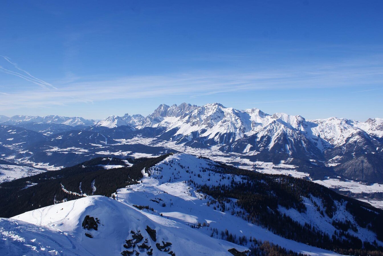
A beautiful and short ski tour, also suitable for those who have just started ski touring. Not far from marked terrain, but still away from the busy slopes. The ascent is quite easy for the most part - only the last 100 m to the summit are a bit more challenging and it is better to take them on foot instead of your skis. The descent into "Mitterhaus" is a true delight. From there, you either take Mitterhausbahn chairlift to get back up or you ascend by skis.
The tour
Map, elevation profile & further information
Ascent
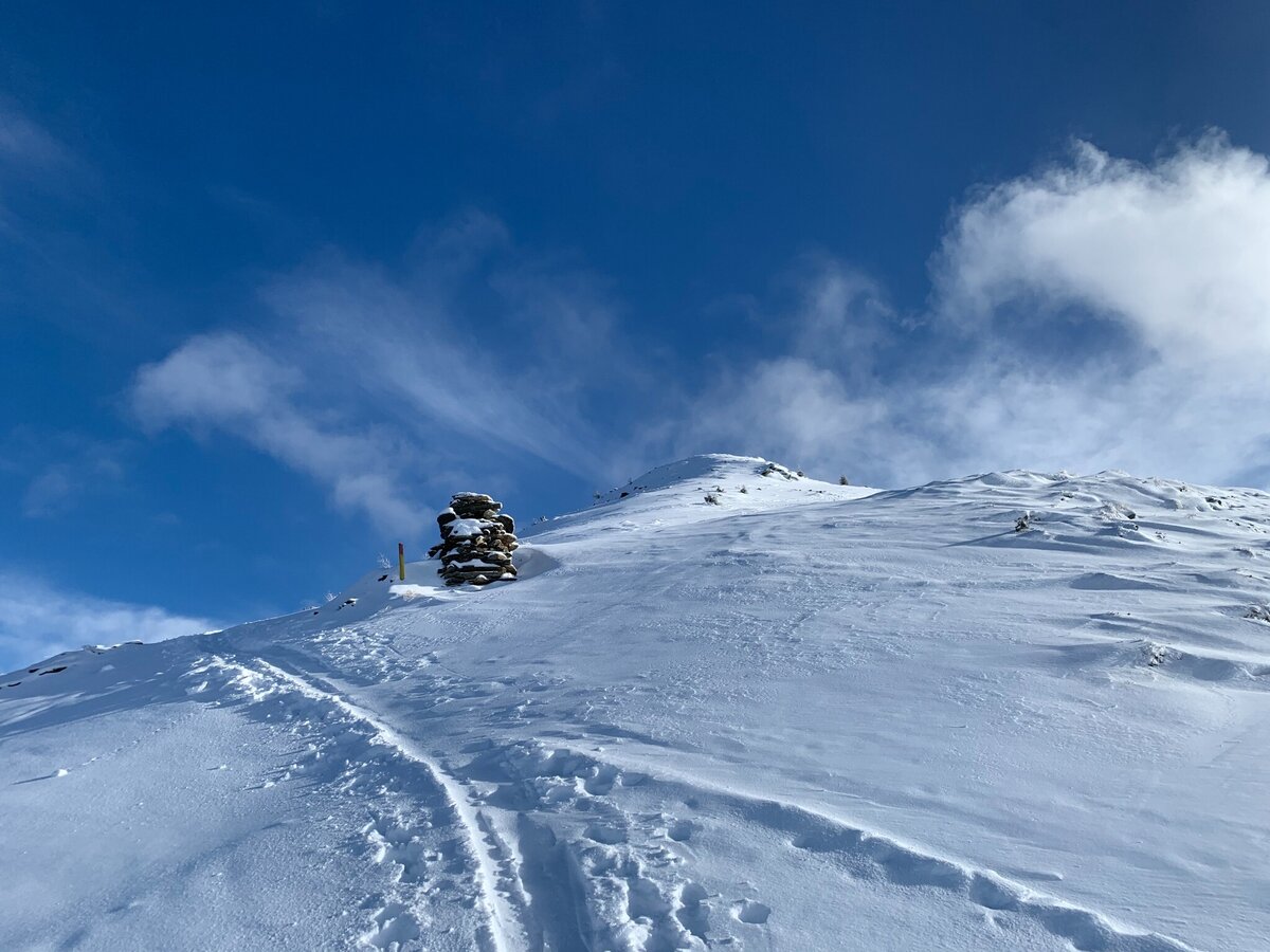
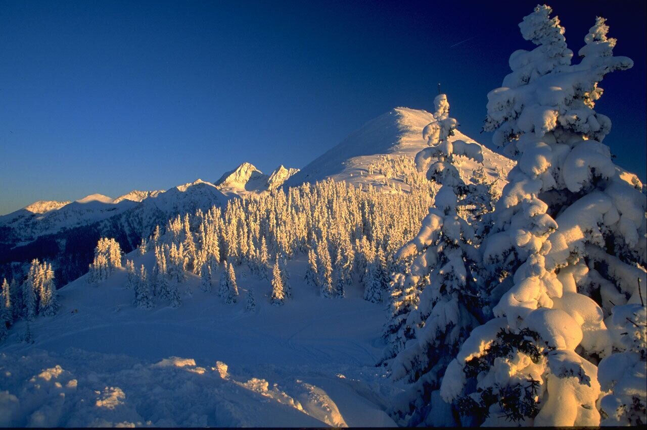
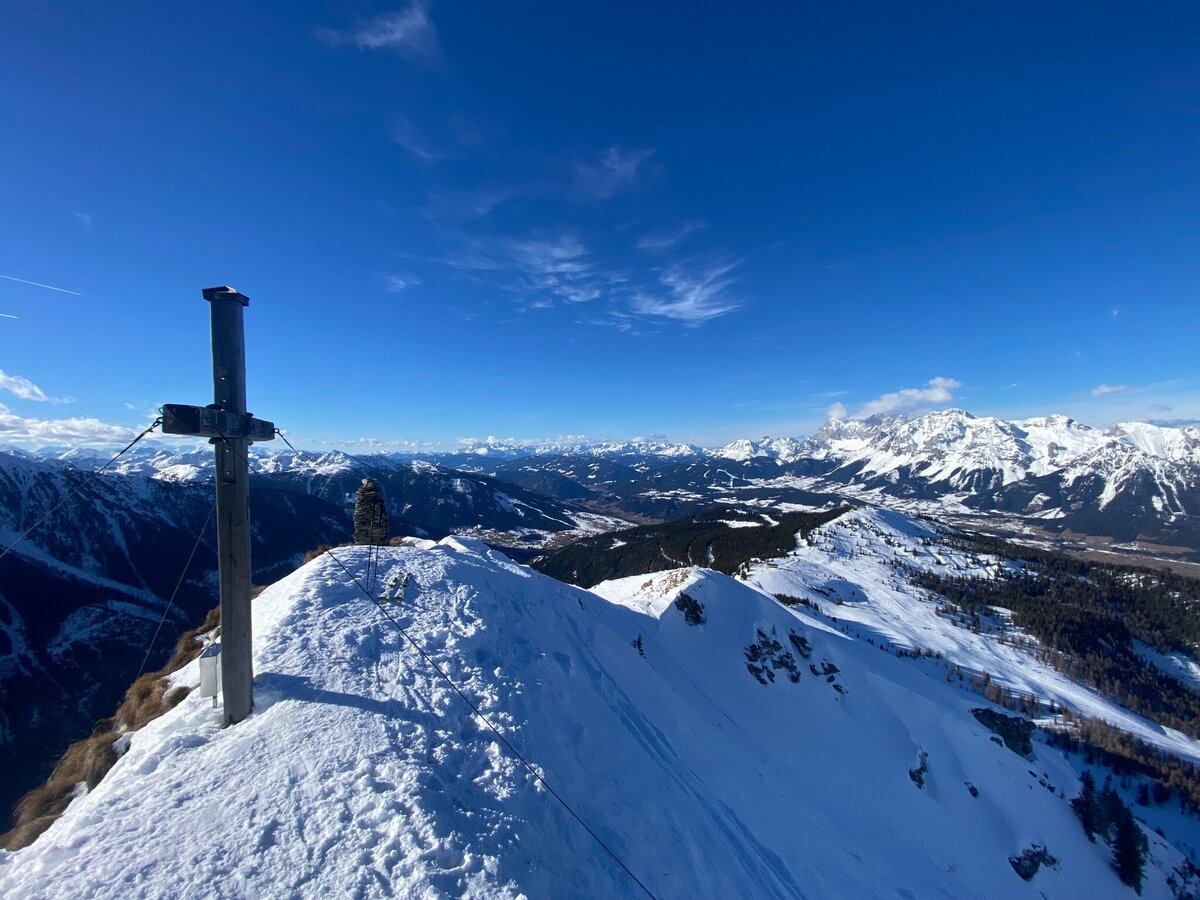
This short skitour to Krahbergzinken starts near the top of Mitterhaus chairlift. The starting point can be reached via Planai cable-car, Märchenwiesen chairlift and Mitterhaus chairlift on marked terrain. At Krahbergsattel, south of the top of Mitterhaus chairlift, you leave marked terrain and head into the sparse wood at the timberline, which you soon leave behind. You ascend along the Northwest face, which gets a bit steeper towards the end. Shortly before arriving on the summit you unstrap your skis to reach the summit on foot. The East face is falling off steep here - be very careful!
Descent
For the descent you take the Northwest face and when you get lower you cross into the North face towards Mitterhausalm where you can grab something to eat and drink. From there, you either take Mitterhausbahn chairlift (ski pass required) to get back up or you ascend by skis.
For detailed descriptions please contact a local Alpine school for mountain guide:www.schladming-dachstein.at/mountainguides
To the valley station of the Planai cable car with the Planai buses, the Ramsauer Verkehrsbetriebe or the Postbus.
Outside the opening hours of the pistes (from 8:30 a.m. to 5:00 p.m.), the pistes are generally closed due to the risk of serious accidents during the preparation of the pistes (winch, etc.). It is forbidden to drive on or enter the closed pistes. Climbing along the ski slope outside the operating hours is not permitted. There is a danger to life due to the use of winches to prepare the slopes!
GPS data and orientation aidsAvailable GPS data - like hiking maps - are only an orientation aid, as they can never represent an exact image or the level of detail of a path in reality. Particularly in the case of danger spots, it must therefore always be decided in the end on the basis of the conditions on site whether and what the further course of the path will be.In an emergency, please dial the following emergency numbers: No. 140 - for alpine emergencies - Austria-wide No. 112 - Euro emergency call GSM emergency call service
Mountain sports are - even more so in winter - above all subject to personal responsibility. The following applies in principle: Before every ski tour or snowshoe hike, it is essential to check the current weather and avalanche report - available at www.lawine-steiermark.at.
For detailed descriptions, please contact a local alpine school or a mountain guide: www.schladming-dachstein.at/Bergführer.
Tourism associations, mountain railways or avalanche warning services do not assume any liability based on the information provided.
- Avalanche beacon, probe and shovel are essential in open terrain.
- Ski touring equipment consisting of skis/splitboard, skins, poles and possibly crampons.
- Food, warm drinks, spare clothing and a first aid kit.
- Choose your clothing according to the onion layer principle.
- Maps and/or tour descriptions. GPX tracks on your mobile phone or GPS device are also helpful.
Very good skiers at perfect conditions can try the descent via the steep East face of Krahbergzinken.
General tourism information: www.schladming-dachstein.at/skitouring
Info about buses and ski lifts: www.planai.at
Schladming-Dachstein Ski Touring folder Schladming-Dachstein Ski Touring folder


