
Hochwurzen Trail
Tour description
Hochwurzen is a good mountain for trail runners. The Hochwurzen Trail runs along hiking trails #60, #61 and #773 and you have to cover 760 meters in vertical ascents/descents to the summit of Hochwurzen and back. The trail is suitable for advanced runners and Hochwurzenhütte (on the summit) is the perfect stop for refreshment.
The tour
Map, elevation profile & further information
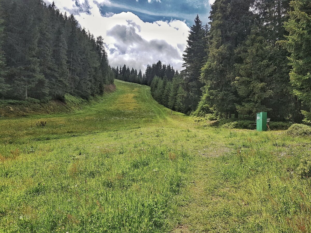
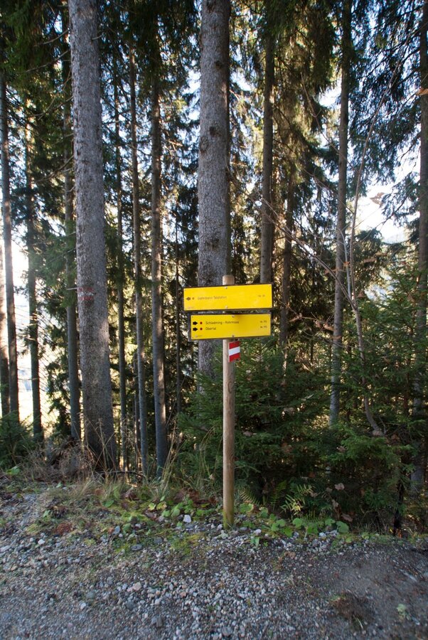
Your starting point is at the valley terminal of Hochwurzen cable-car. Passing by the terminal on its right you start your run uphill on trail #60. After about 250 meters you turn off left at the mountain terminal of Rohrmoos II chairlift. Eventually you run up through the forest and across an alpine meadow (a ski slope in winter) and on to the intersection of trail #60, located within a forest clearing. Here you continue left and further uphill (to the right Bernhard Knauß Trail branches off here).
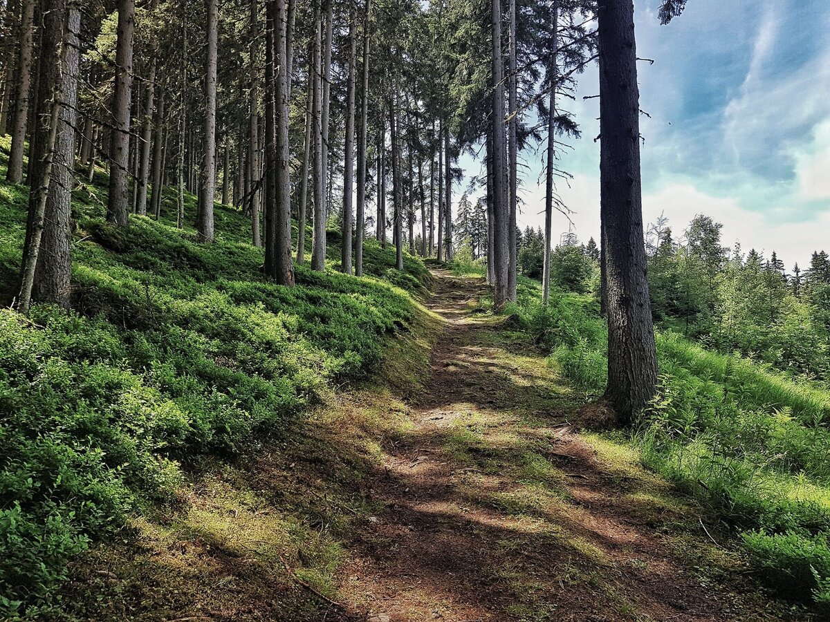
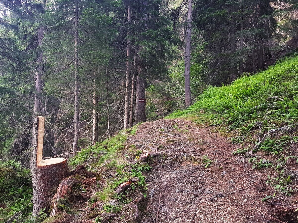
The trail now takes you up through the forest, while you cross two forest lanes and Hochwurzenstraße road (CAUTION: Mountain Gokarts are driving downhill here quite fast!). Again, you run across a meadow (ski slope), back into the forest and onto another meadow (the "FIS" ski slope in winter), which you follow uphill for several hundred meters. In a bend of the "ski slope" you branch off right and continue on a forest trail with many roots and smooth forest floor. Shortly before the summit a couple of hairpins take you up the last part to Hochwurzenhütte.
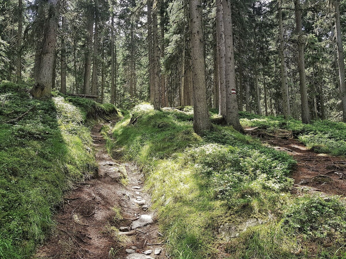
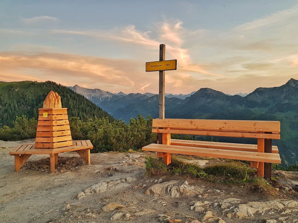
From the top you first continue along trail #60 ("Bankerlweg") passing by below Hochwurzenhütte on the East slope. On the right side of Hochwurzenalm you run up to "Kleine Wurzen" summit. The trail now takes you downhill through a dwarf pine and larch forest until you reach the 4-seasons-trail (at the forest lane). Follow it to the right, which takes you towards Hüttecksattel mountain saddle. At the 1st trail intersection (after about 150 m) on the mountain saddle you keep left (towards Rossfeld). Shortly after you reach the 2nd trail intersection where you now branch off left on trail #61 towards Rohrmooos and Obertal. Through the timber forest you now run downhill.
Eventually you run across a forest lane (hiking trail #773 and Laubschachen Trail join your route here from the right) and further downhill into a large clearing in the forest. You then reach another forest lane, right at a sharp bend in the road. This road (trail #61) takes you directly back to the valley terminal of Hochwurzen cable-car.
However, Hochwurzen trail branches off below the road (trail #773) and takes you further downhill along a beautiful forest trail. Once again you reach a logging road and the "Schwammerlstadt" ("mushroom town" is a cluster of mushroom figurines of the Mushroom Nature Trail). Along the Mushroom Nature trail (up left from the "town") you run back to your starting point at the valley terminal of Hochwurzen cable-car.
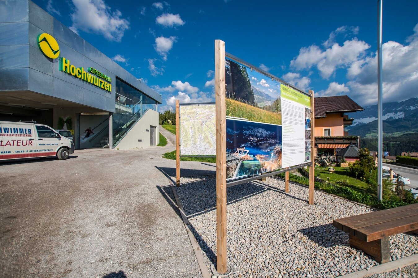
With the Planai buses from Schladming (Planet-Planai, Lendplatz) or Rohrmoos (Rohrmoos-Zentrum) to the valley terminal of the Hochwurzen cable-car - bus stop "Gipfelbahn Hochwurzen".
- Buses of Planai-Hochwurzen-Bahnen: www.planaibus.at
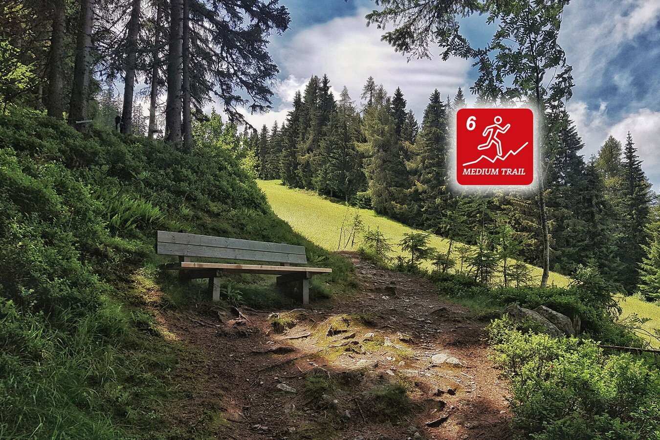
Hochwurzen Trail is a "MEDIUM trail" mainly due to the 760 meters in vertical gains you have to cover. Some sections are also quite demanding technically. However, because it is a quite short trail run, Hochwurzen Trail is also suitable for somewhat advanced trail runners.
GPS data and orienteering
Available GPS data - just like hiking maps - is only a guidance for orientation and can never depict a trail exactly with all its details. Especially at dangerous spots it is essential to judge on site how to proceed.
In an emergency please call:
- 140 - for Alpine emergencies (all over Austria)
- 112 - European GSM emergency number
Very good trailrunning shoes required. Moreover, on this route, you should bring along at least the following basic equipment:
- backpack
- hydration bladder
- first-aid kit
- GPS
- energy bars
- rainwear
Well-trained trail runners may use the first part (trail #60 to Hochwurzen summit) as a feeder to Schladminger Tauern Trail or Giglachseen Trail.
Tourist information: www.schladming.com
Information about bus schedules: www.planaibus.at
Information about cable-car hours (Hochwurzen cable-car): www.planai.at
- Tourist map "Hiking - Running - Walking", available at the tourist office Schladming.
- Hiking map Schladming, 1:25.000, available at the tourist office Schladming.
- Tourist map "Hiking - Running - Walking", available at the tourist office Schladming.


