


Giglachseen Trail

Tour description
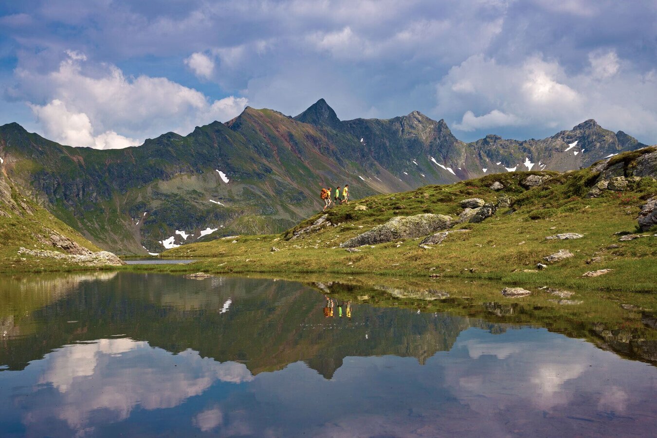
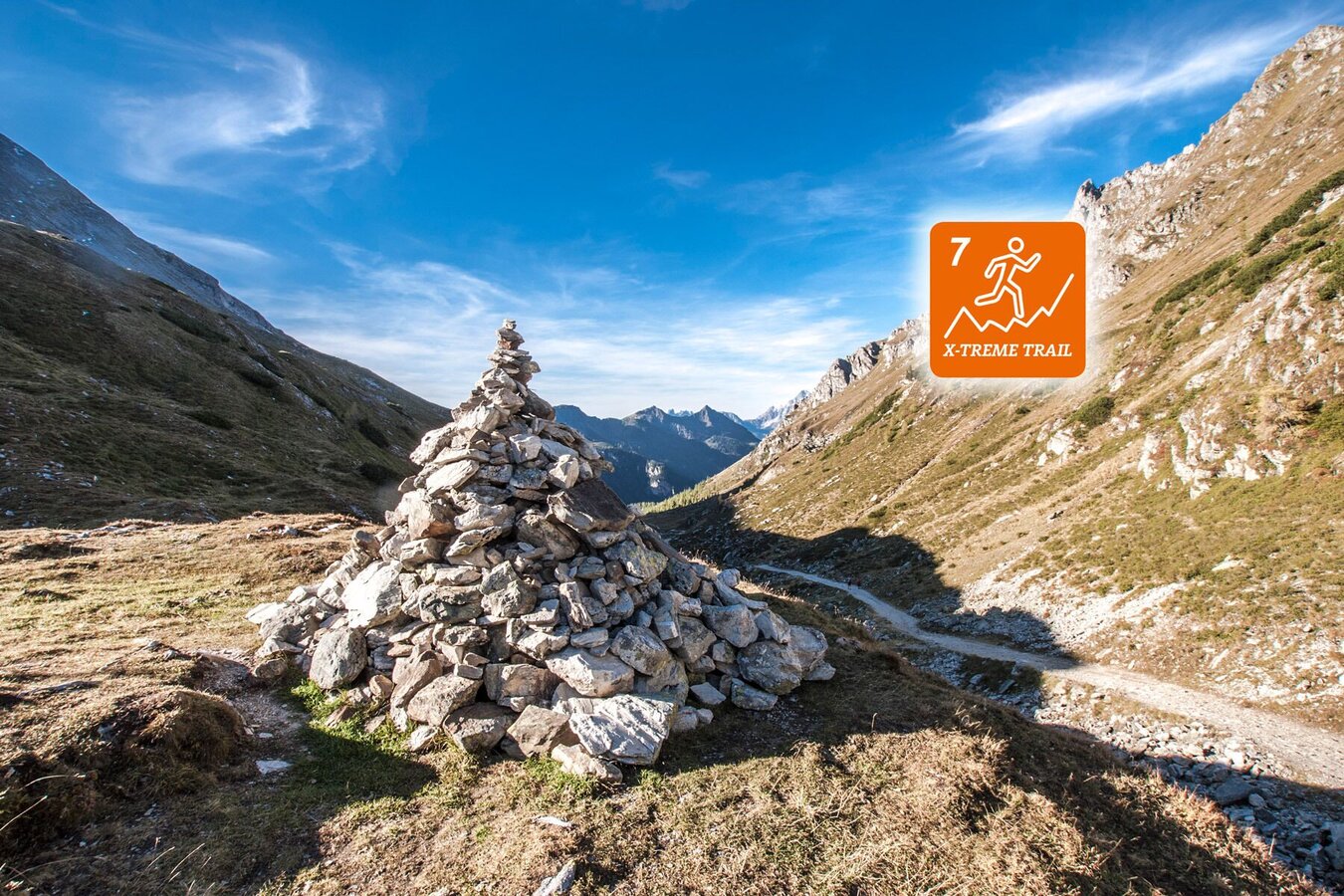
The Giglachseen Trail is a trailrun of the "x-Treme" category and is only suitable for very advanced trailruners and pros. The route almost exclusively runs along narrow paths and high alpine trails. Some sections have steel ropes for security reasons while you are running through highly exposed terrain. On top of that, you may encounter residual snow fields on some passages also during the early summer months.
Via Hochwurzen High Trail and Giglachseen Lakes, Giglachseen Trail takes you to Ursprungalm where you can catch the bus back to Rohrmoos and Schladming. At Ursprungalm, well-trained runners can also conntect to "Laubschachen Trail" (trail #8), which takes you back to the valley terminal of Hochwurzen cable-car.
The tour
Map, elevation profile & further information
Starting point of this route is Hochwurzenhütte on the summit of Hochwurzen (1,852 m). From Schladming you take the Planai buses to the valley terminal from where the cable-car takes you up to the summit. Alternatively you can take Hochwurzen Trail (trailrun #6 equal to hiking trail #60) to the top (an additional 3.7 kms and 720 m in vertical ascent).
On the East side of Hochwurzenhütte you start out on trail #60 and via »Kleine Wurzen« run downhill to Hüttecksattel mountain saddle, from where you continue uphill again to Rossfeld - a long grassy ridge. From there you descend to Latterfußsattel where Laubschachen Trail (trail #8) crosses your way (coming from the right at Ursprungalm and continuing to the left towards the valley terminal of Hochwurzen cable-car).
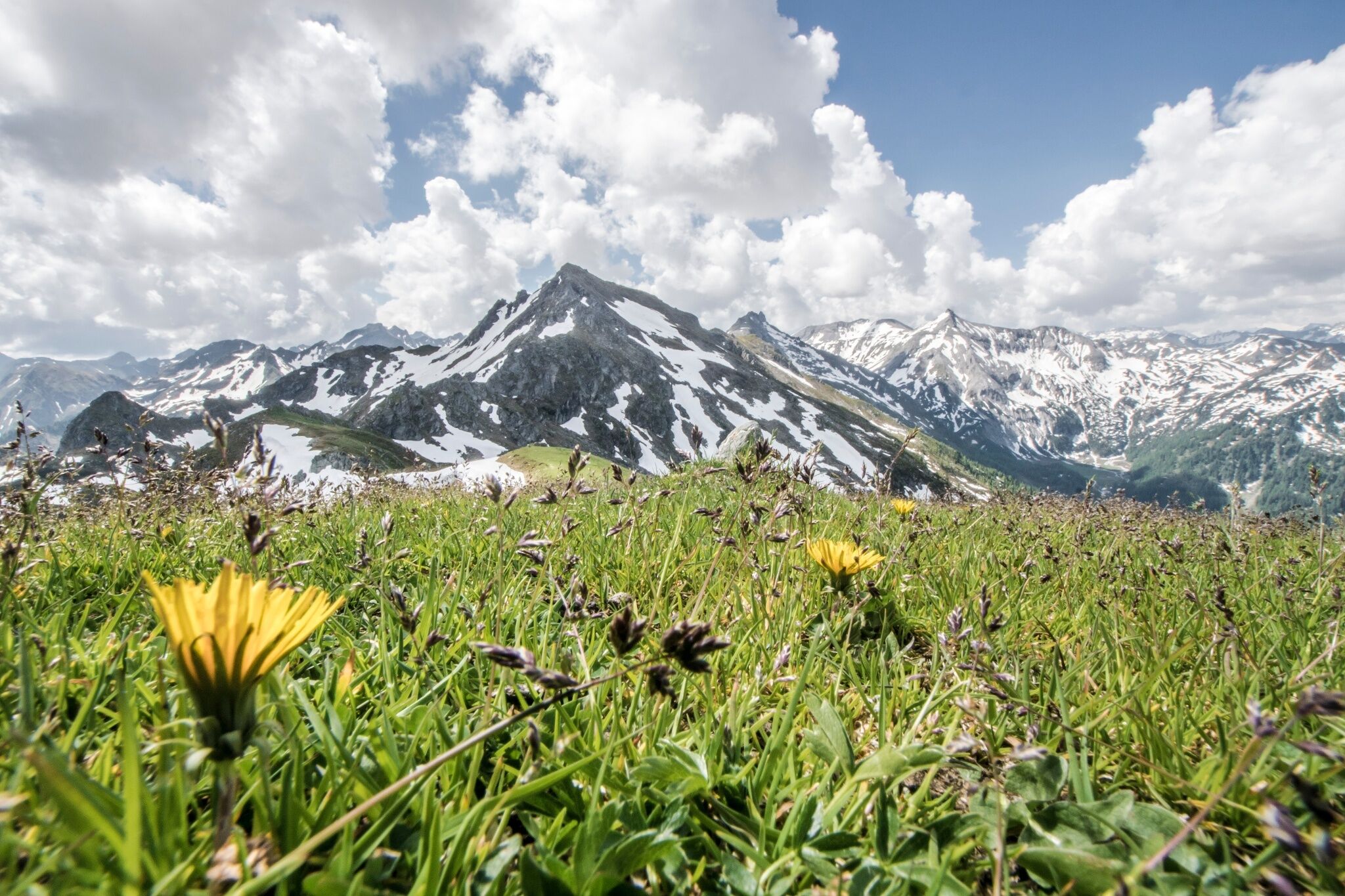
From Latterfußsattel you then continue up to Guschen (1,982 m), a summit offering great views. From there, hiking trail #773 takes you to Hochfeldmandl (a big stone pile) via the small summit of Schneider which is covered by dwarf pines. You continue along the grassy ridge of Hochfeld towards the rough flanks of Schiedeck summit. Through very exposed terrain - first on the East flank, then on the West flank of the summit - you run by below Schiedeck. Along grassy ridges you continue with slight up- and downhill sections, passing by above Klammsee lake until you reach Brettersee lake. From there you run down along the small creek and across the slope located above Ignaz-Mattis-Hütte (1,986 m).
Turning left at the hut the Schladminger Tauern Trail (a total of 45.7 km and over 4,500 m in vertical gains and losses) continues. Turning right, you continue your route along Giglachseen Trail. You run west on hiking trail #702 towards Giglachseehütte and Ursprungalm. Enjoying the panorama of the Giglachseen lakes you run to Preuneggsattel mountain saddle from where you follow hiking trail #771 down to the finish at Ursprungalm. From there, take the bus back to Rohrmoos and Schladming. Very well-trained runners and pros can connect to Laubschachen Trail (trail #8) here and run back to the valley terminal of Hochwurzen cable-car.
With the Planai buses from Schladming (Planet-Planai, Lendplatz) or Rohrmoos (Rohrmoos-Zentrum) to the valley terminal of the Hochwurzen cable-car - bus stop "Gipfelbahn Hochwurzen".
- Buses of Planai-Hochwurzen-Bahnen: www.planaibus.at
From there take the Hochwurzen cable-car to Hochwurzenhütte on top of Hochwurzen - alternatively run Hochwurzen Trail (running trail n° 6 - same route as hiking trail # 60) .
- Operating times of the cable-car: www.planai.at
Giglachseen Trail is an exposed single track in high-alpine exposed terrain with significant gains. While the distance (14 km) is relatively short, the trail is only suitable for runners in good physical condition with alpine experience. Appropriate equipment as well as good tour planning are indispensable.
Changes in weather patterns, quick falls in temperature, thunderstorms, wind, fog and snow are some of the dangers that can be encountered on a route in high alpine terrain. Hosts of alpine huts and mountain refuges have a lot of experience in the mountains and can give good advice about weather and the trails. Poor equipment, overestimation of one's own capabilities, carelessness, poor personal constitution and/or wrong judgement can lead to critical situations. In case of thunderstorms: avoid summits, ridges and steel ropes.
GPS data and orienteering
Available GPS data - just like hiking maps - is only a guidance for orientation and can never depict a trail exactly with all its details. Especially at dangerous spots it is essential to judge on site how to proceed.
In an emergency please call:
- 140 - for Alpine emergencies (all over Austria)
- 112 - European GSM emergency number
Very good trailrunning shoes required. Moreover, on this route, you should bring along at least the following basic equipment:
- backpack
- hydration bladder
- first-aid kit
- GPS
- energy bars
- rainwear
At Ursprungalm you can connect to Laubschachen Trail (trail #8, 11.3 km, 303 m/787 m in vertical gains/losses).
360° drone images
Get yourself an overview with our 360° drone images:
- Hochwurzen, Rossfeld & Guschen: https://vonoben.schladming-dachstein.at/sommer/index.php?S=305
- Hochfeld and Schiedeck: https://vonoben.schladming-dachstein.at/sommer/index.php?S=306
- View over Giglachkar cirque: https://vonoben.schladming-dachstein.at/sommer/index.php?S=307
- Giglachseen and Kalkspitzen summits: https://vonoben.schladming-dachstein.at/sommer/index.php?S=308
Further helpful links
Tourist information: www.schladming.com
Information about bus schedules (to Hochwurzen cable-car and from Ursprungalm): www.planaibus.at
Information about cable-car hours (Gipfelbahn Hochwurzen cable-car): www.planai.at
- Tourist map "Hiking - Running - Walking", available at the tourist office Schladming.
- Hiking map Schladming, 1:25.000, available at the tourist office Schladming.
- Guide book Schladming-Dachstein by Herbert Raffalt, available at the tourist office Schladming.


