
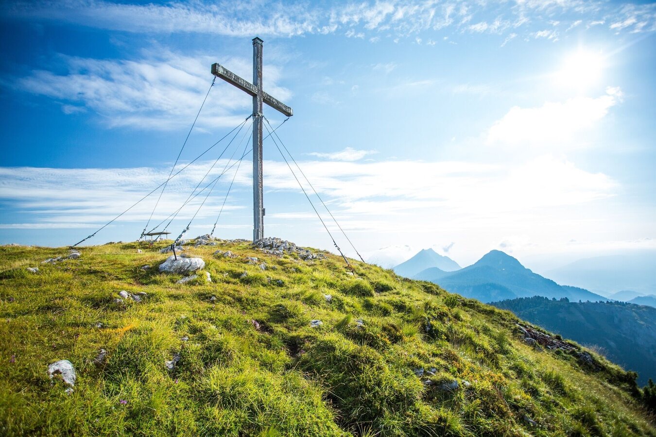
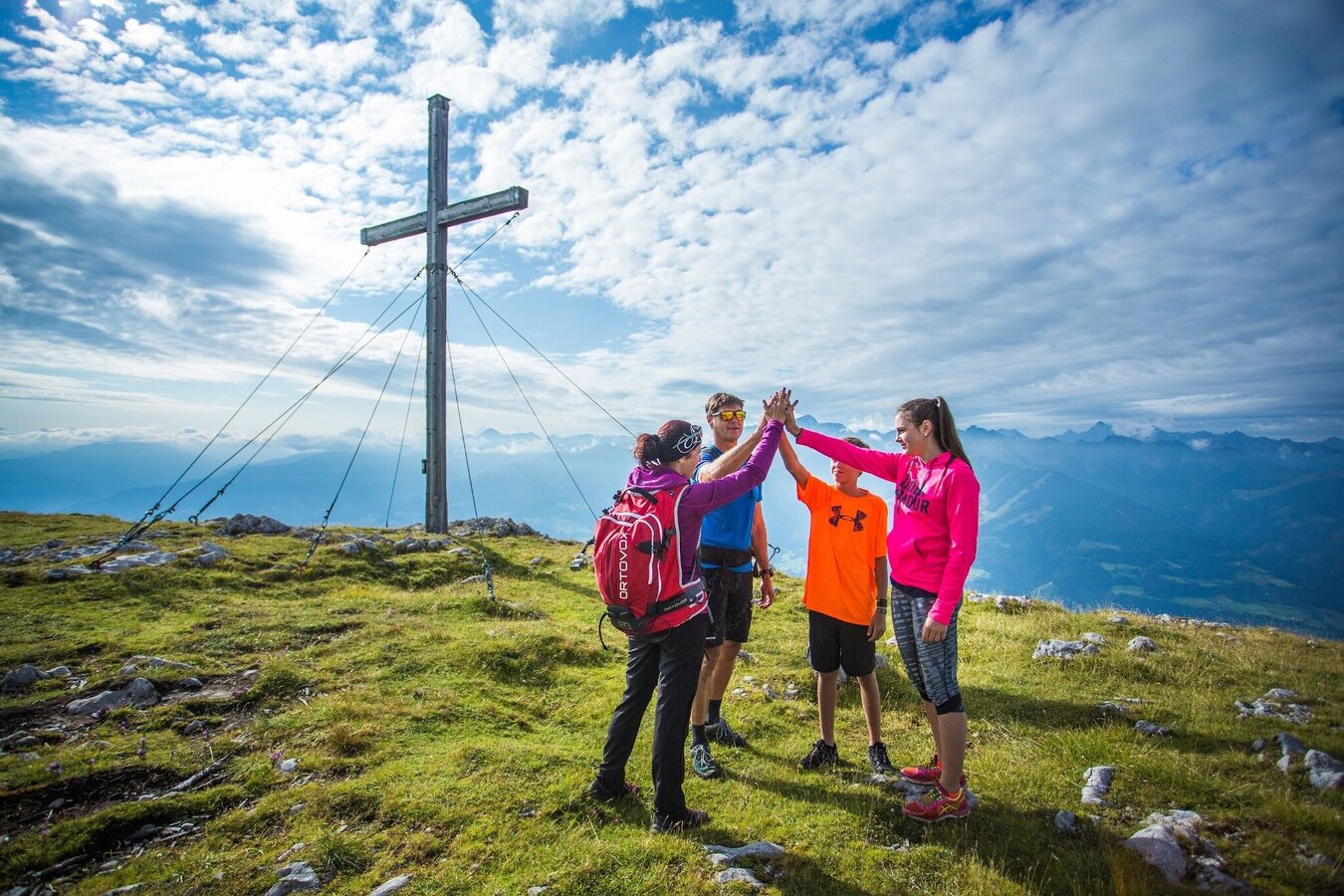
Alpine Hike from the Stoderzinken across the Grafenbergalm to the Kufstein
Tour description
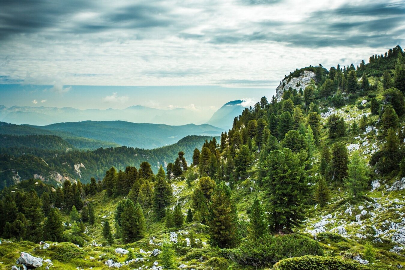
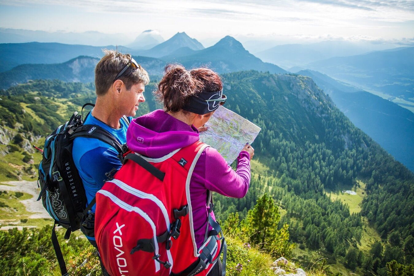
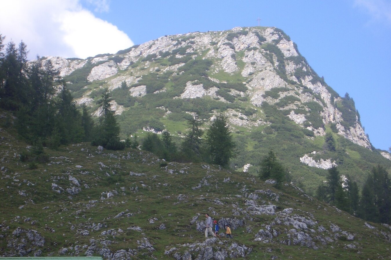
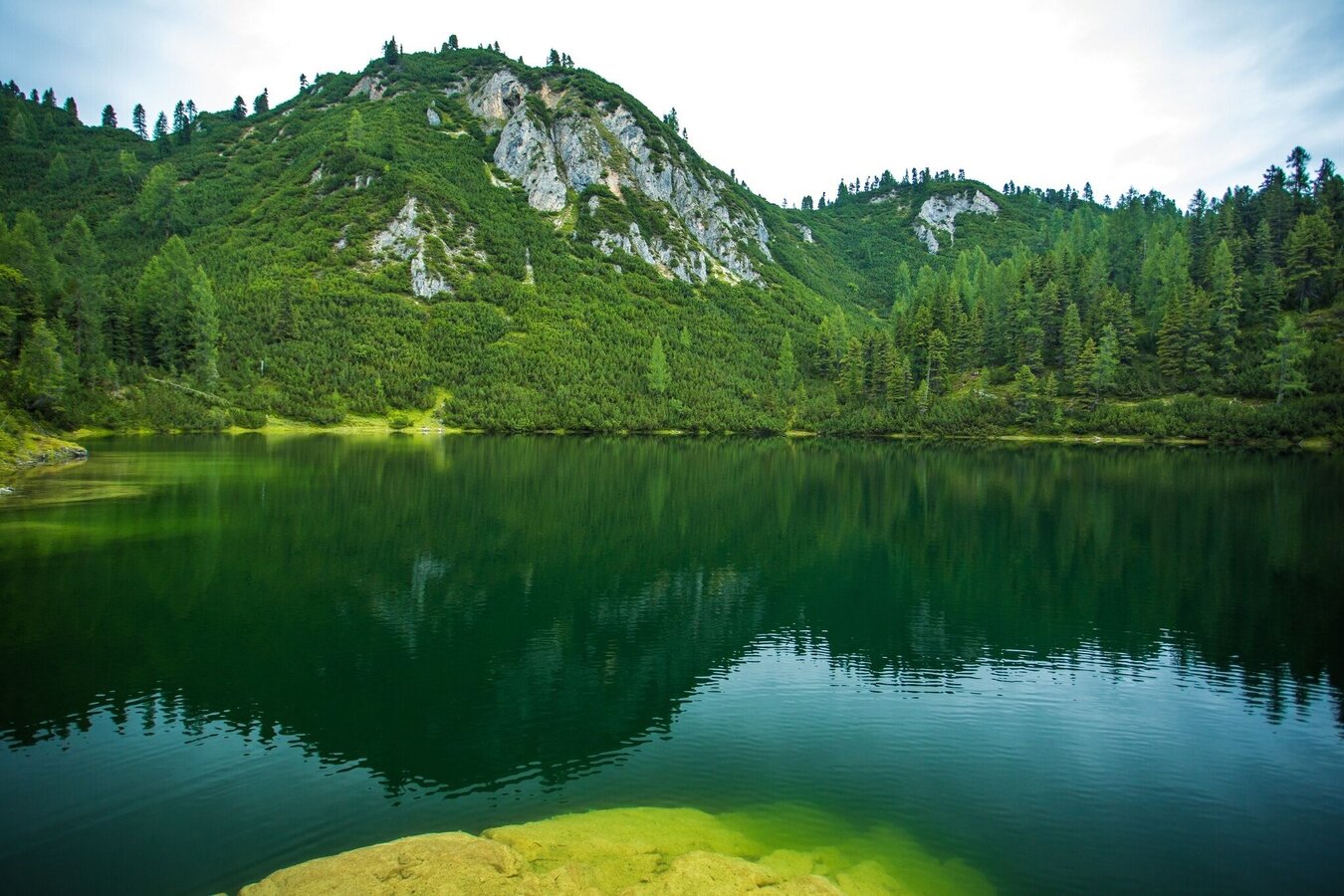
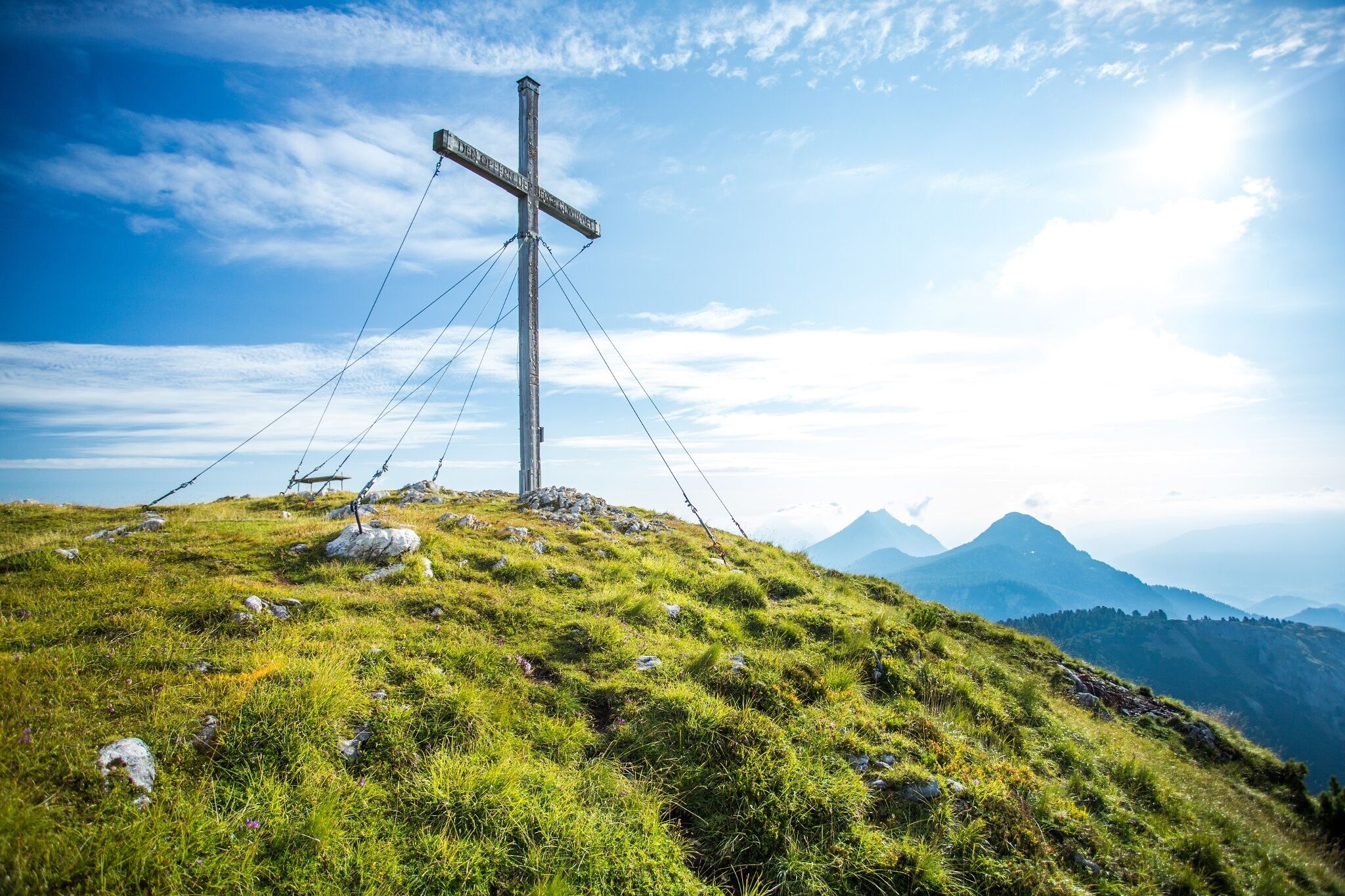
The tour
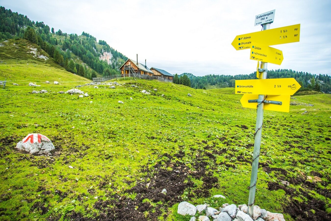
Map, elevation profile & further information
Safety information
Safety on the mountainside: changes in the weather, sudden fall in temperature, thunder storms, wind, fog and snow fields are all objective dangers and require the correct behaviour whilst underway. the landlords of the huts are all very knowledgeable about the mountains and can give you good tips about the weather and the routes. Insufficient equipment, exaggerated opinion of ones capabilities, frivolousness, poor health condition and a false evaluation of the situation can lead to a critical situation. In thunder storms: summits, crest-sites and safety rope aids are to be avoided.
If something should happen call following emergency numbers: No. 140 - the number for all Alpine Emergencies in all of Austria No. 112 - European emergency call GSM emergency-call-service
Here you will find all hiking maps and important brochures to download.


