
Almenrunde XC Skating Trail

Tour description
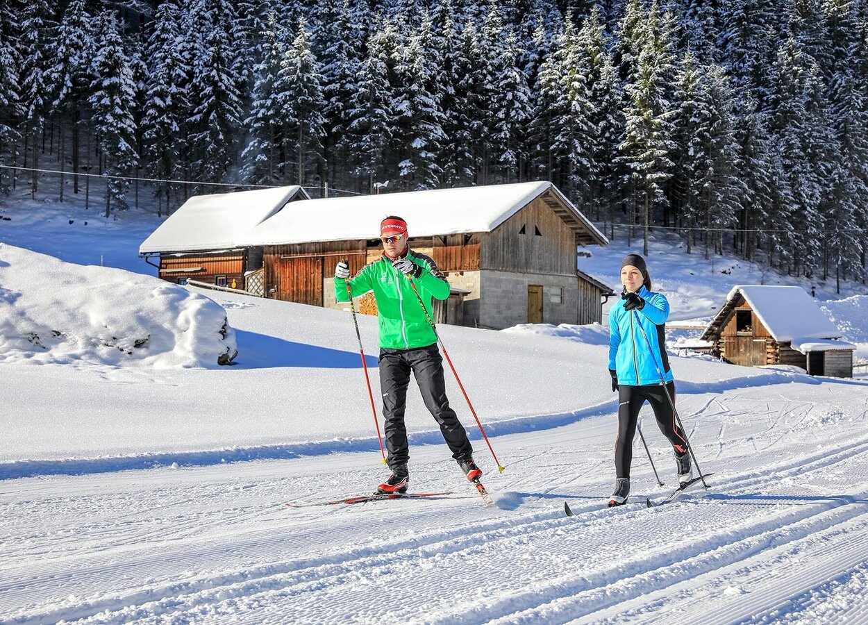
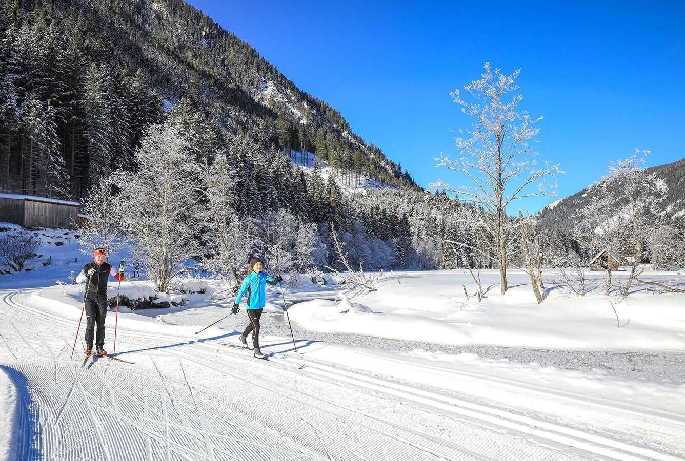
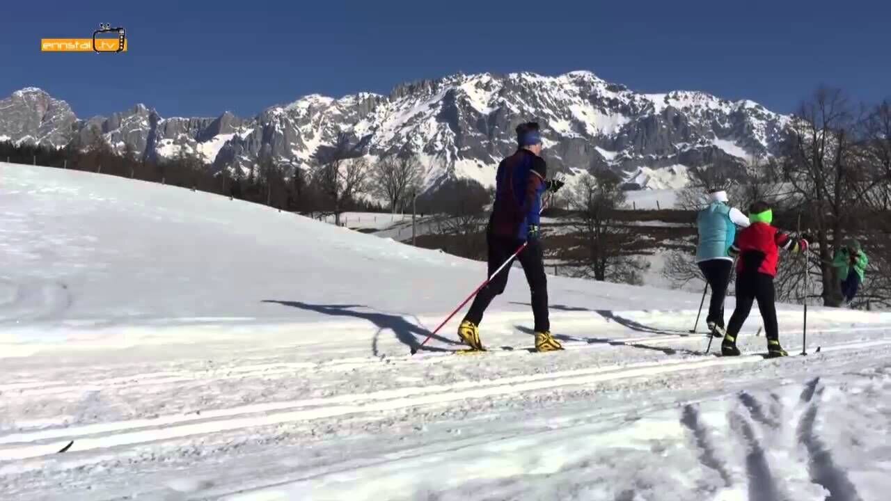
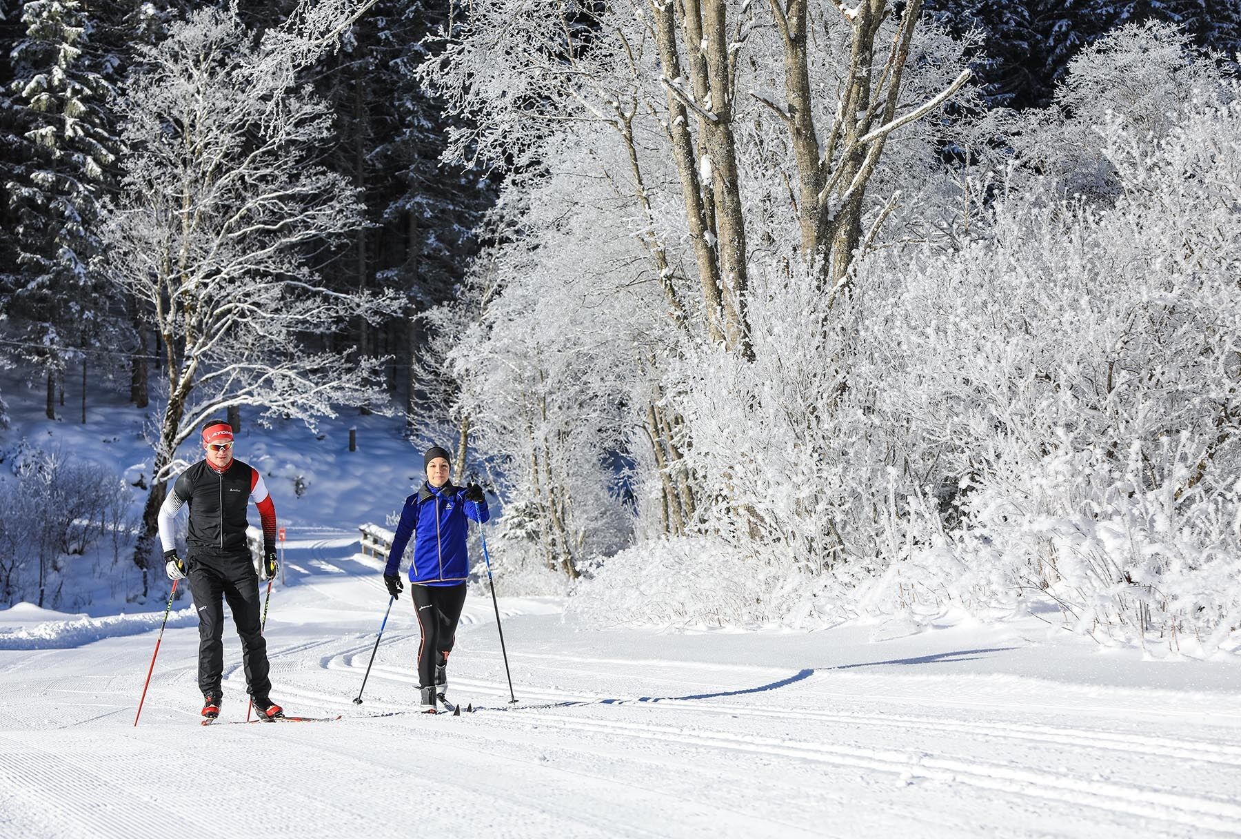
The skating slopes in Untertal are among the easy cross country skating runs in the Schladming-Dachstein region. The "Almenrunde" skating track owes its name to the numerous alps ("Almen" in german) located along the Untertal valley floor. Almenrunde is perfect for beginners in the skating technique because most of the track runs along very flat terrain with almonst no grades. Only the loop passing by "Angereralm" is a section of moderate difficulty due to a short steep ascent followed by a short and curvy downhill section. Weisse Wand inn (at the starting point) and Sondlalm are two options for a refreshment stop along the "Almenrunde" run.
The route is especially charming due to the beauty of the scenery in the Untertal valley. While you are running along the track you pass by meandering Untertalbach creek and trees and bushes often covered with beautiful ice crystals. Almenrunde skating run is the perfect match for sportive nature lovers.
The tour
Map, elevation profile & further information
"Almenrunde" starts Sulzbergbrücke bridge (parking available, alternative start at Gasthaus Weisse Wand inn 300 m into the valley). You cross over the Untertalbach creek via the bridge and then continue to the right (out of the valley) and pass by Sondlalm inn (refreshment stop). You keep running on the valley floor along the creek. Near the hunting lodge you cross over the creek again and you run a few more meters to the small wooden barn where you turn around and head back along the route you came. Once you reach Sondlalm again you turn off left just after passing by the alps barn. A loop now takes you across the Sondl meadow and takes you back to the main trail just a few meters ahead.
You then continue into the valley to the right, passing through short sections of forest, a meadow and a forest again before you head out onto the large open "Angereralm meadow" across a wooden bridge to the left. You keep running along Untertalbach creek and once you come close to the bridge you turn right and run the loop around Angereralm cabin. A short and steep grade takes you up to the cabin, followed by a curvy downhill section. The loop takes you back to the beginning of the XC trail on the large Angereralm meadow. Turn right and once again run across the meadow.
Reaching the bridge this time you turn left and run across it and turn left immediately after again. Along the creek you then head to Gasthaus Weisse Wand inn (refreshment stop, closed on Tuesdays). From there it is just another 300 m back to your starting point at Sulzbergbrücke bridge.
Distance of "Almenrunde" skating trail
Almenrunde has a total length of 5.5 kilometers. The loop on Sondl meadow is 500 meters long, while the loop around Angereralm has a length of 800 m. This way you can shorten the total length by 1.3 kms or extend it by adding certain numbers of either loop.
From Schladming to Rohrmoos, at the roundabout in Rohrmoos turn left into the direction of Rohrmoos Untertal and follow the road for approximately 9.5 kms to the parking at Weisse Wand inn. Alternatively you can park at Waldhäuslalm or the lookout tower Tetter Moor and connect to Almenrunde track via the classic XC run "Kristallloipe".
Parking lot at Weisse Wand inn or at Waldhäuslalm/Tetter Moor lookout tower respectively.With the buses of Planai-Hochwurzen from Schladming or Rohrmoos to the bus stop "Waldhäuslalm" (end of the line). From there you can connect to "Almenrunde" run via classic XC track "Kristallloipe".
Heading out of the valley on 1.2 kms of classic XC track "Kristallloipe" takes you to Tettermoor skating run. On the way you pass by Waldhäuslalm.
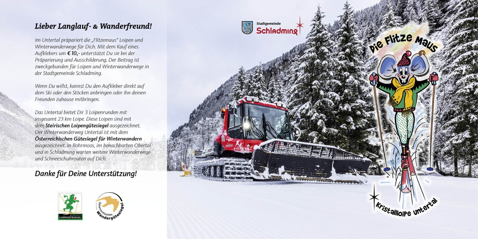
The trails are prepared by the "Flitzemaus" - the trail machine in Untertal. In the restaurants in Untertal you can buy a sticker, which you can use to support the Flitzemaus in preparing the trails.
There are also small cash registers at the starting points where you can make a voluntary contribution. Since the trail preparation depends mainly on the quality of the snow, the conditions cannot always be the same. The Flitzemaus and the hard-working trail workers naturally try their best.
- Information about bus timetables: www.planaibus.at
- Winter adventure map, available at the tourist offices in the Schladming-Dachstein region

