
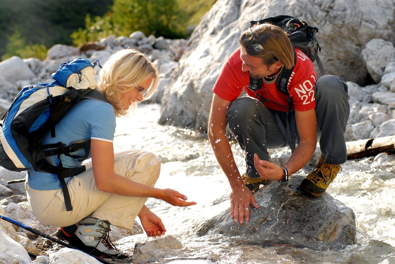
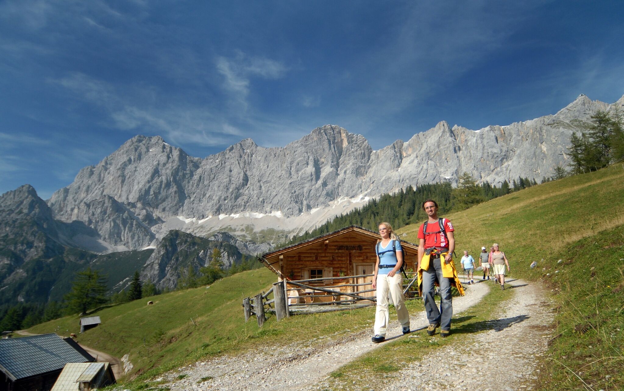
5 Huts Trail - The Classic

Tour description
Classic route from the Ramsau Plateau to the alpine pastures. Across meadows, fields and high forest to above the tree line at the foot of the Dachstein south face. A beautiful day hike that can be done as a circular route and offers more than just 5 huts/refreshments :) A return trip with the bus is also possible from Türlwandhütte, Walcheralm and Glösalm.
The tour
Map, elevation profile & further information
From the Edelbrunn inn, a wide forest path (path #615) leads steadily uphill, first past the Dachsteinhaus, towards the Türlwandhütte (this section of the path is also open to mountain bikers). A beautiful vantage point is the Sitzbichl (rest area with bench) with an unobstructed view over the western Ramsau plateau and the Schladminger Tauern. Our path continues steadily uphill to the Brandalm with a first beautiful and really impressive view of the Dachstein. There you will also find the memorial for the mountaineers who died in accidents on the Dachstein and the Dachstein chapel. Above it sits the Austriahütte with the Dachstein Museum, accessible via a short climb from the Brandalm. The route continues through the area of the Ramsauer Almen and flows into the Dachsteinstraße below the Gasthof Hunerkogel. Another 400 m to the valley station of the glacier cable car and Türlwandhütte.
Right of the valley terminal of the Dachstein glacier cable-car you make the ascent via trail # 6 and #615 to the Südwandhütte, which your reach after about 40 minutes of walking from the valley station. The panoramic view at this great location at the foot of the Dachstein south walls is impressive. From the Südwandhütte the trail leads down over the Schönbühel, including a beautiful viewing bench. Once you have reached the bottom of the Steinfeld ditch, go right out to the bridge where you reach the forest road. On the left you now go out to the Neustattalm, one of the most famous photo motifs in the region. A short climb up to the Dachstein road and across this to the Walcheralm with its own cheese dairy. From the Walcheralm over to the Brandalm and back via the route you came.
The following variants are possible:
- To shorten the route follow the road downhill from the Gasthof Hunerkogel for just a bit to Hotel Dachstein. There, take a left on the hiking trail that leads you to Walcheralm.
- From the Walcheralm you can alseo descend via the Glös-Alm and over the Schlitzenalm in the direction of the Dachsteinhaus, where you join the ascent route shortly before reaching the Dachsteinhaus. From there on the familiar path back to the Edelbrunn or to Ramsau-Ort.
From the west: Tauern Autobahn (A 10) to Knoten Ennstal - turnoff direction Graz/Schladming - stay on the Ennstal-Bundesstraße (B320) for approx. 20 km until Schladming - take the turnoff for Ramsau.
From the north: Pyhrn Autobahn (A 9) direction Liezen - take the Ennstal-Bundesstraße (B320) to Schladming - turnoff Ramsau.
Drive up to Ramsau and through the village until you reach the turn-off "Edelbrunn" to your right-hand side. Drive up the road to the parking lot.
Edelbrunn-Roseggersteig car park or Ramsau-Ort event center (the 5 Hütten Weg is also signposted from there).
With the bus of "Ramsauer Verkehrsbetriebe" from Schladming train station to Ramsau. Exit at bus stop "Langegasse". From there it is a 10-minute walk up to the starting point. See the timetables HERE
Changes in weather patterns, quick falls in temperature, thunderstorms, wind, fog and snow are some of the dangers that can be encountered on a hiking tour. Hosts of alpine huts and mountain refuges have a lot of experience in the mountains and can give good advice about weather and the trails. Poor equipment, overestimation of one's own capabilities, carelessness, poor personal constitution and/or wrong judgement can lead to critical situations. In case of thunderstorms: avoid summits, ridges and steel ropes.
GPS data and orienteering
Available GPS data - just like hiking maps - is only a guidance for orientation and can never depict a trail exactly with all its details. Especially at dangerous spots it is essential to judge on site how to proceed.
In an emergency please call:
- 140 - for Alpine emergencies (all over Austria)
- 112 - European GSM emergency number
A well-packed backpack is helpful and especially when touring Alpine terrain a tuque, gloves, a windproof jacket and pants are standard equipment. Good, waterproof shoes, sun glasses, sun cream and sufficient beverages are essential too. Torch light, a map of the area, knie and a small first-aid kit should also be in the backpack.
You can also start and end the hike at the Edlebrunn-Roseggersteig hiking portal. This shortens the tour by around 1.5 hours.
Hiking map Schladming-Dachstein, 1:50,000, available in the information offices
Hiking Guide Ramsau am Dachstein by Reinhard Lamm only in German available


