
Neualm Trail

Tour description
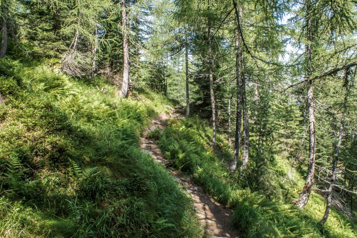
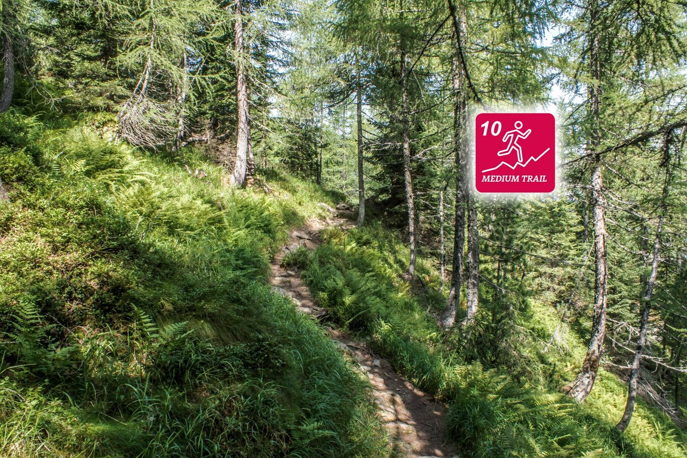
Neualm Trail is a trail run of the category "medium trail" and equals the hiking route Neualm-Duisitzkar. On the first third of the trail you gain elevation constantly along a wide trail and parts of a forest road, taking you to Neualm chalet (no refreshments), which is situated within the alp of the same name that lends its name to the trail.
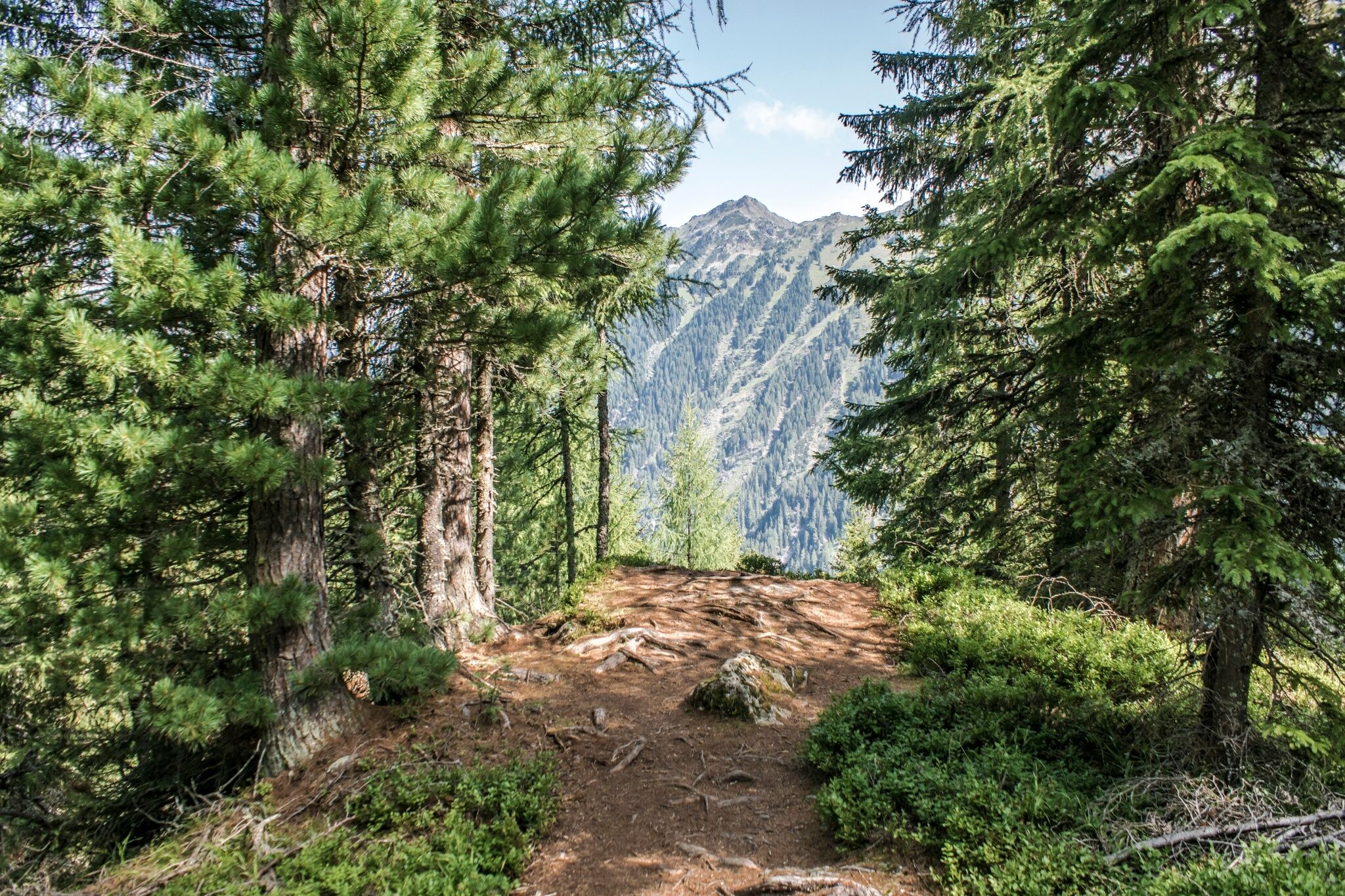
The second third of the route takes you up and down along the slopes of the mountain side, running on a narrow trail through the forest with some clearings and on a surface with many tree roots and small rocks - finally taking you to Duisitzkarsee lake. The last part of the trail is also a narrow trail with tree roots and mostly in the forest, taking you back downhill (quite steeply) to your starting point at Eschachalm. For the downhill section from the lake you can alternatively choose to run along a forest road (+ 2 kilometers).
The tour
Map, elevation profile & further information
From the information displays at the trail head Eschachalm you run into the valley past Eschachalm inn. At the fork after the inn you keep left and head uphill into the forest, following the hiking trail. You pass by two chutes and cross the forest road once before you then follow the road uphill for several hundred meters, passing the creek twice on your way via small wooden bridges. After crossing over the creek the second time you reach a hairpin after which you turn off right into the forest. Quite steeply uphill the trail takes you up to another hairpin of the forest road where you keep right and continue towards Neualm.
At Neualm chalet (no refreshments available) you pass Neualmbach creek and immediately turn right onto the trail towards Duisitzkarsee lake. On the initial stage of the narrow trail you lose some elevation which you recover on the next part. Most of the trail towards the lake is an alternation of uphill and downhill sections with surface mostly made up of forst floor and tree roots. Once you reach Duisitzkarsee lake you pass over the small wooden bridge at the lakes runoff to reach Fahrlechhütte and Duisitzkarseehütte inns - both offering refreshments :)
From the lake you run up to Abelhütte chalet (the private hut above the lake) where you turn right and follow the alp road towards the forest. After about 150 m downhill on the forest road you turn off right onto the hiking trail which takes you downhill quite steeply. Further down you cross voer the forest road two times and run across the clearing called "Kessler Boden". After another 200 m on the road you turn off right again onto the forest trail and run down to the private Saghütten chalets where you cross over the forest road twice again. Downhill via a sloping alpine meadow you reach the last trail section that takes you down through the forest near the waterfall of Seebach creek, before you finally reach your starting point near Eschachalm trail head.
Planai-Hochwurzen hiking bus (bus n° 973) to the trail head at Eschachalm, Obertal. www.planaibus.at
Neualm Trail is a combination of wide trails/forest roads (about one third) and narrow forest trails with surface of forest floor and tree roots (about two thirds). Short sections run along steep mountain sides, the vertical gains to cover are 500+ meters. While the distance is relatively short, the trail is only suitable for runners in good physical condition with alpine experience. Appropriate equipment and good tour planning are required.
Changes in weather patterns, quick falls in temperature, thunderstorms, wind, fog and snow are some of the dangers that can be encountered on a route in high alpine terrain. Hosts of alpine huts and mountain refuges have a lot of experience in the mountains and can give good advice about weather and the trails. Poor equipment, overestimation of one's own capabilities, carelessness, poor personal constitution and/or wrong judgement can lead to critical situations. In case of thunderstorms: avoid summits, ridges and steel ropes.
GPS data and orienteering
Available GPS data - just like hiking maps - is only a guidance for orientation and can never depict a trail exactly with all its details. Especially at dangerous spots it is essential to judge on site how to proceed.
In an emergency please call:
- 140 - for Alpine emergencies (all over Austria)
- 112 - European GSM emergency number
Very good trailrunning shoes required. Moreover, on this route, you should bring along at least the following basic equipment:
- hydration bladder
- first-aid kit
- energy bars
- rainwear
At Neualm you can extend the route by running to Keinprechthütte and back before continuing to Duisitzkarsee lake: +260 m in vertical gains and +4 km.
360° drone images
Get yourself an overview with our 360° drone images:
- Eschachalm, Neualm and trail to Duisitzkarsee: https://vonoben.schladming-dachstein.at/sommer/index.php?S=312
- At Duisitzkarsee lake: https://vonoben.schladming-dachstein.at/sommer/index.php?S=311
Further helpful links
Tourist information: www.schladming.com
Information about bus schedules (to Eschachalm): www.planaibus.at
- Tourist map "Hiking - Running - Walking", available at the tourist office Schladming.
- Hiking map Schladming, 1:25.000, available at the tourist office Schladming.
- Tourist map "Hiking - Running - Walking", available at the tourist office Schladming.


