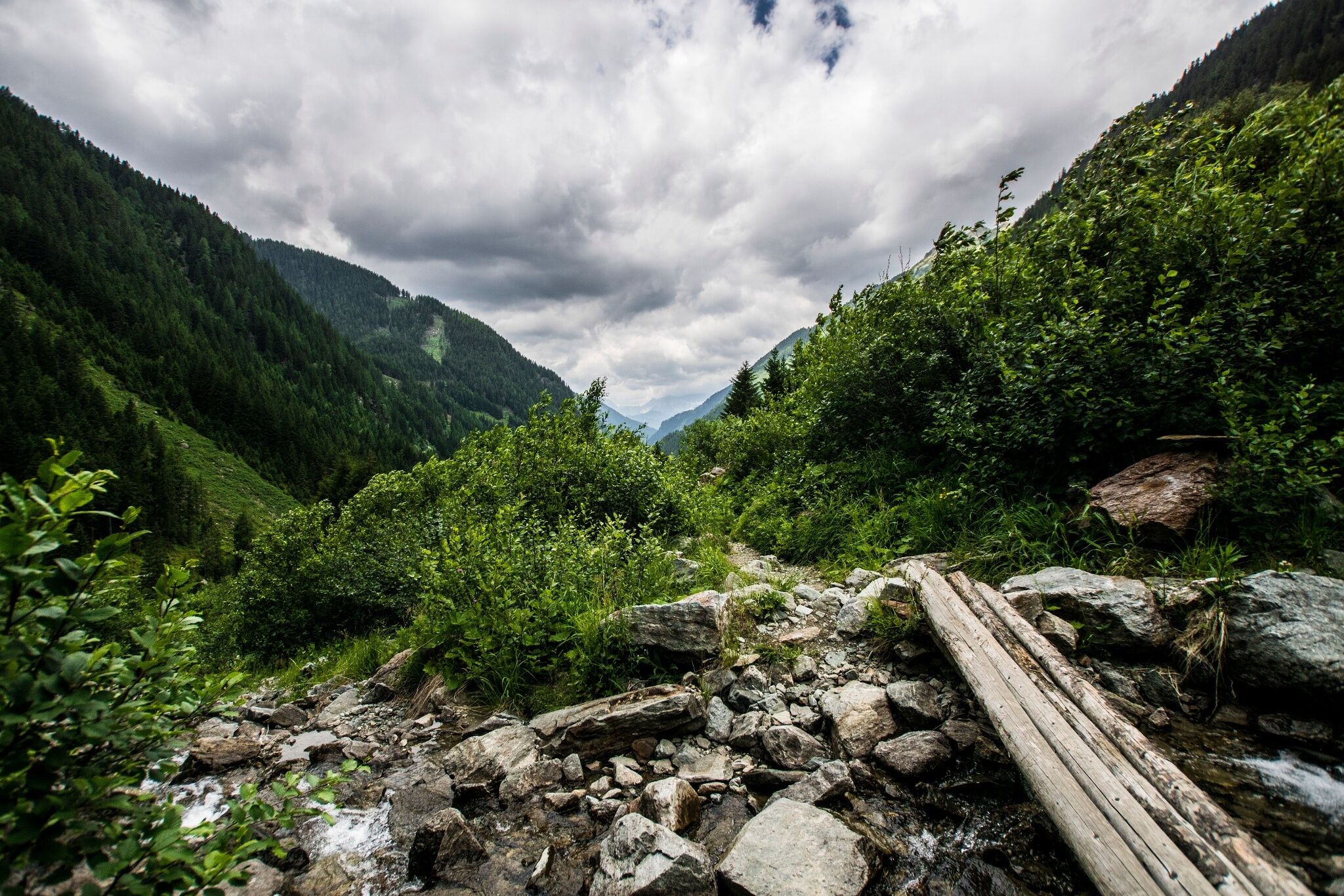
Keinprechthütte chalet – inviting alpine peaks all around
Tour description
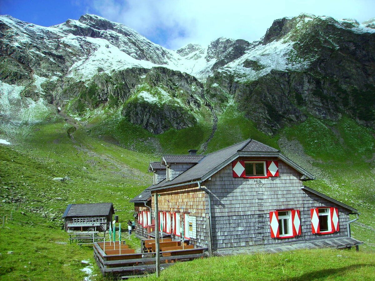
Nice and easy walk at the valley head of Obertal valley to Keinprechtütte chalet, which is situated in the historic mining area around Zinkwand and Vetternspitze summits.
Trail characteristics:
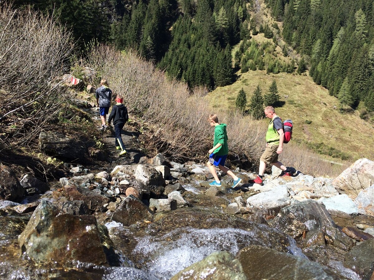
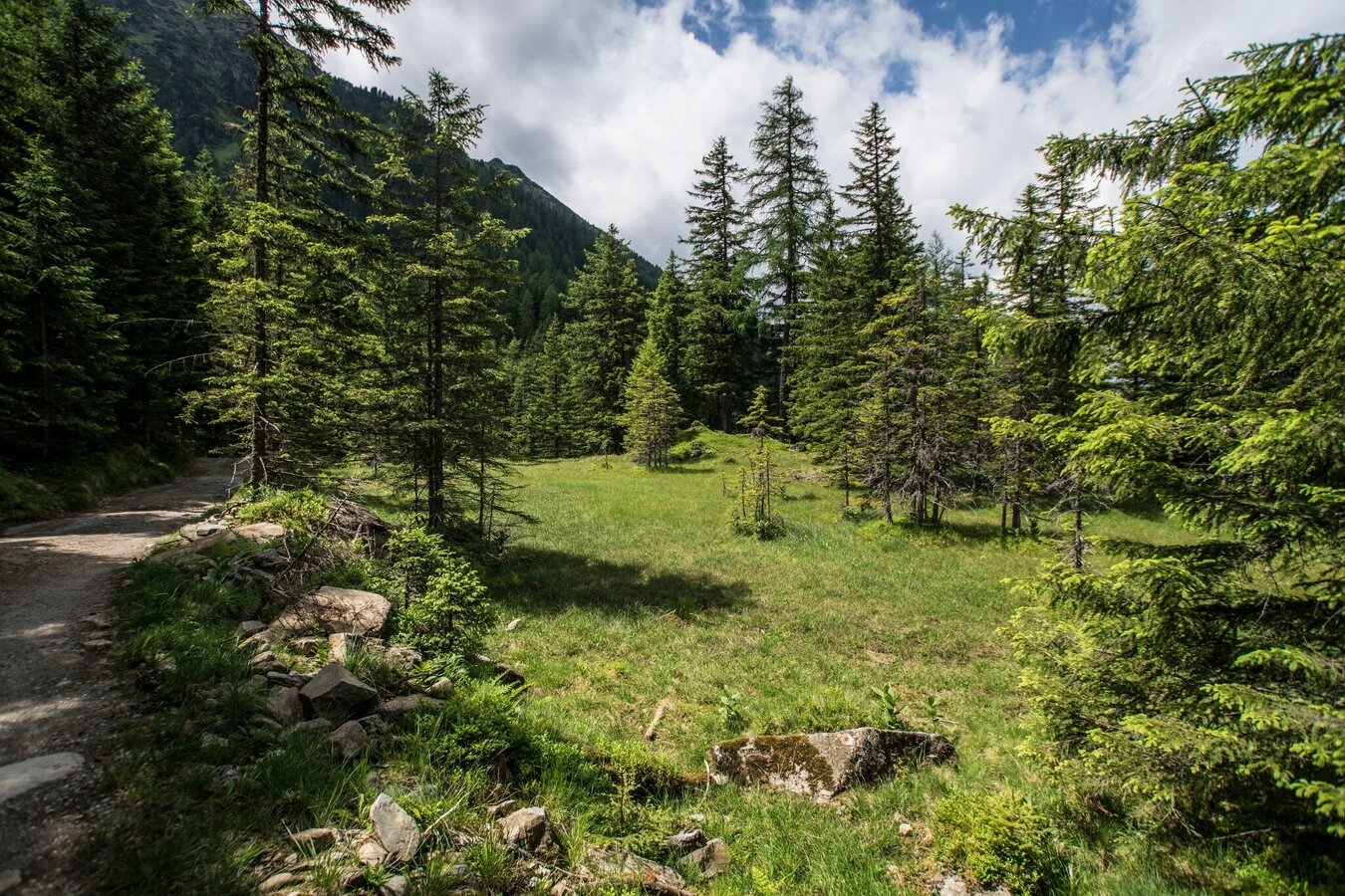
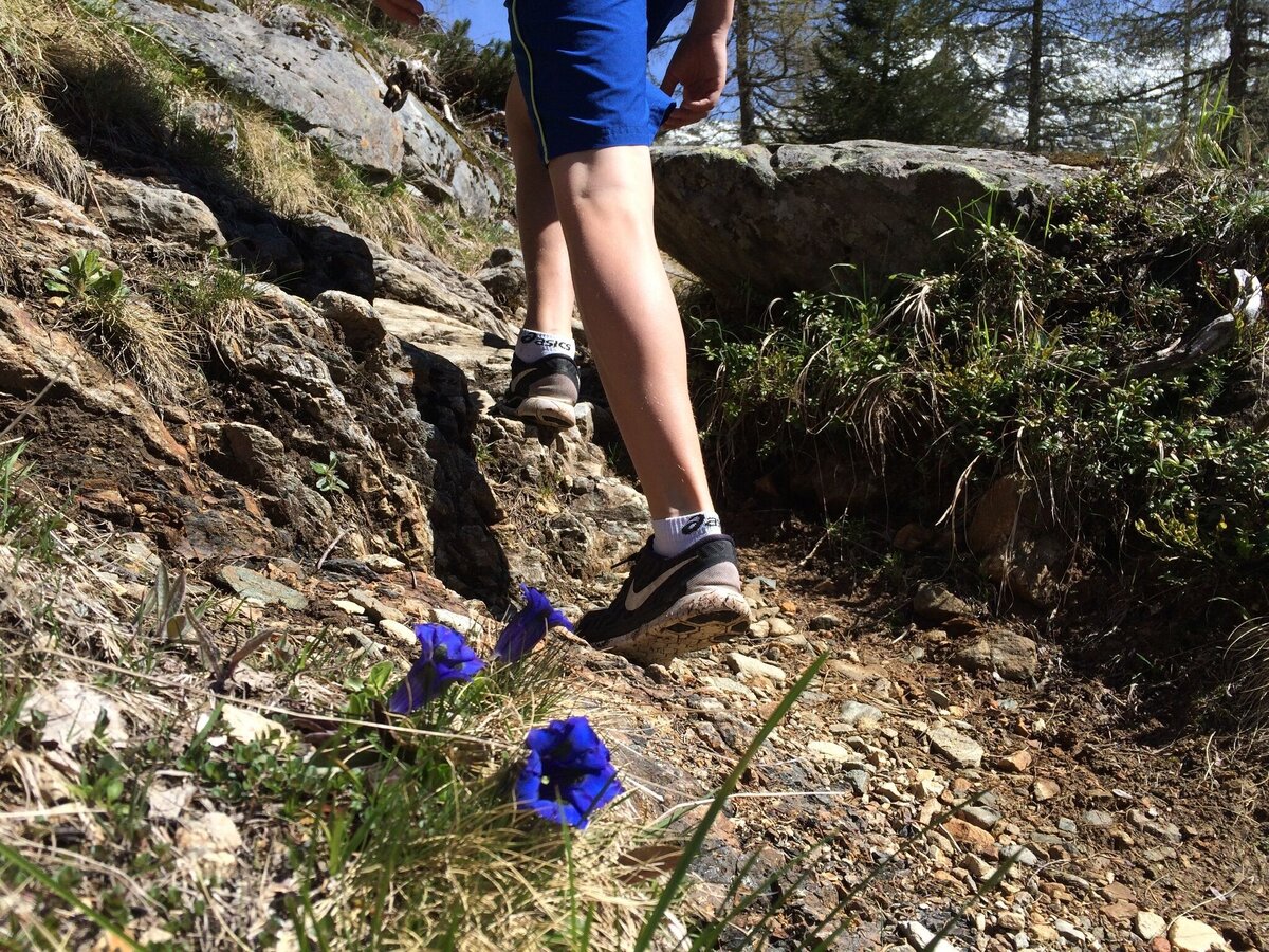
forest path, forest trail and pasture trail
Refreshment stops:
Eschachhütt'n Inn, Keinprechthütte Inn
Highlights:
Neualm, Hüttensee Lake at Keinprechthütte
The tour
Map, elevation profile & further information
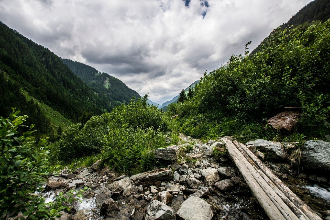
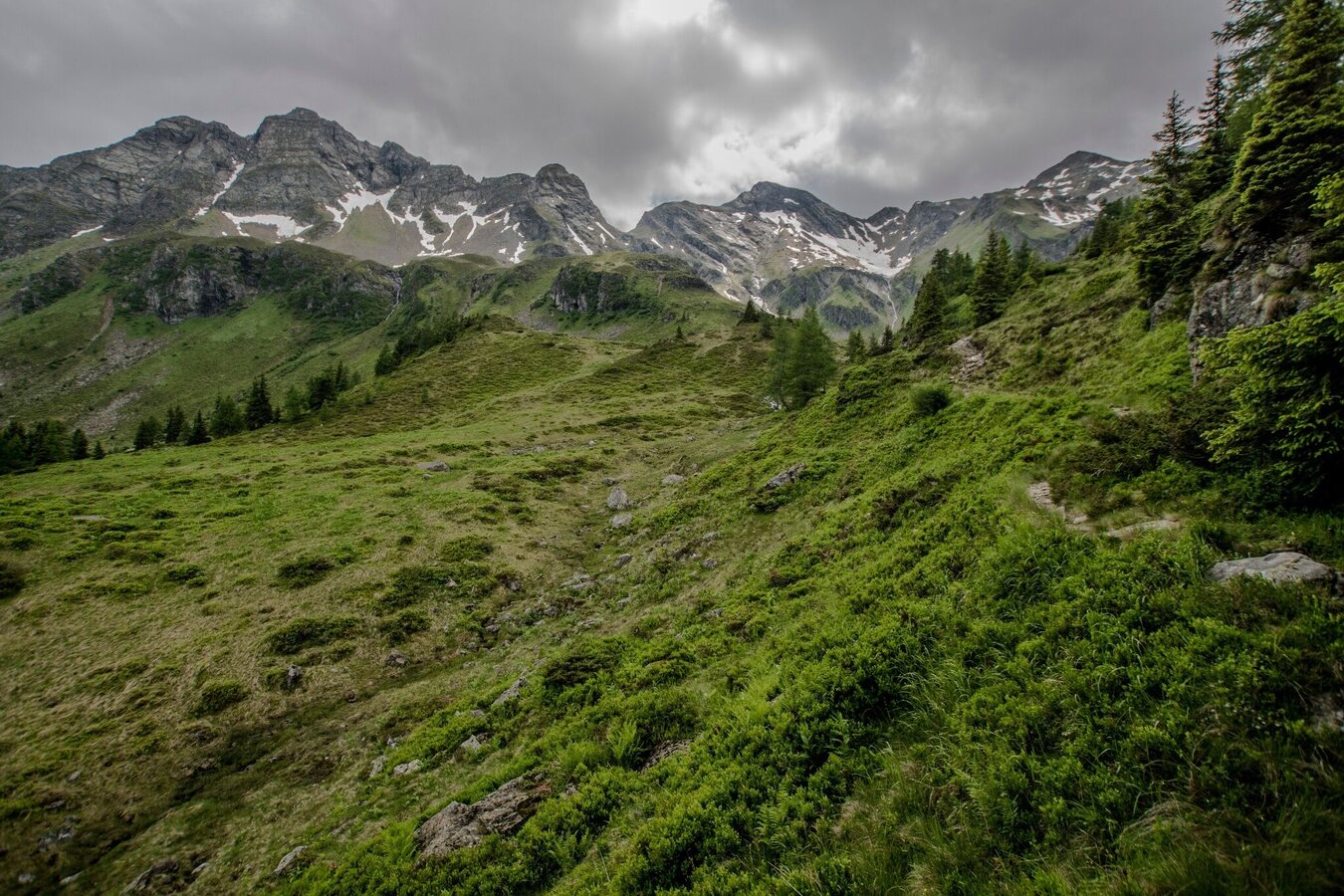
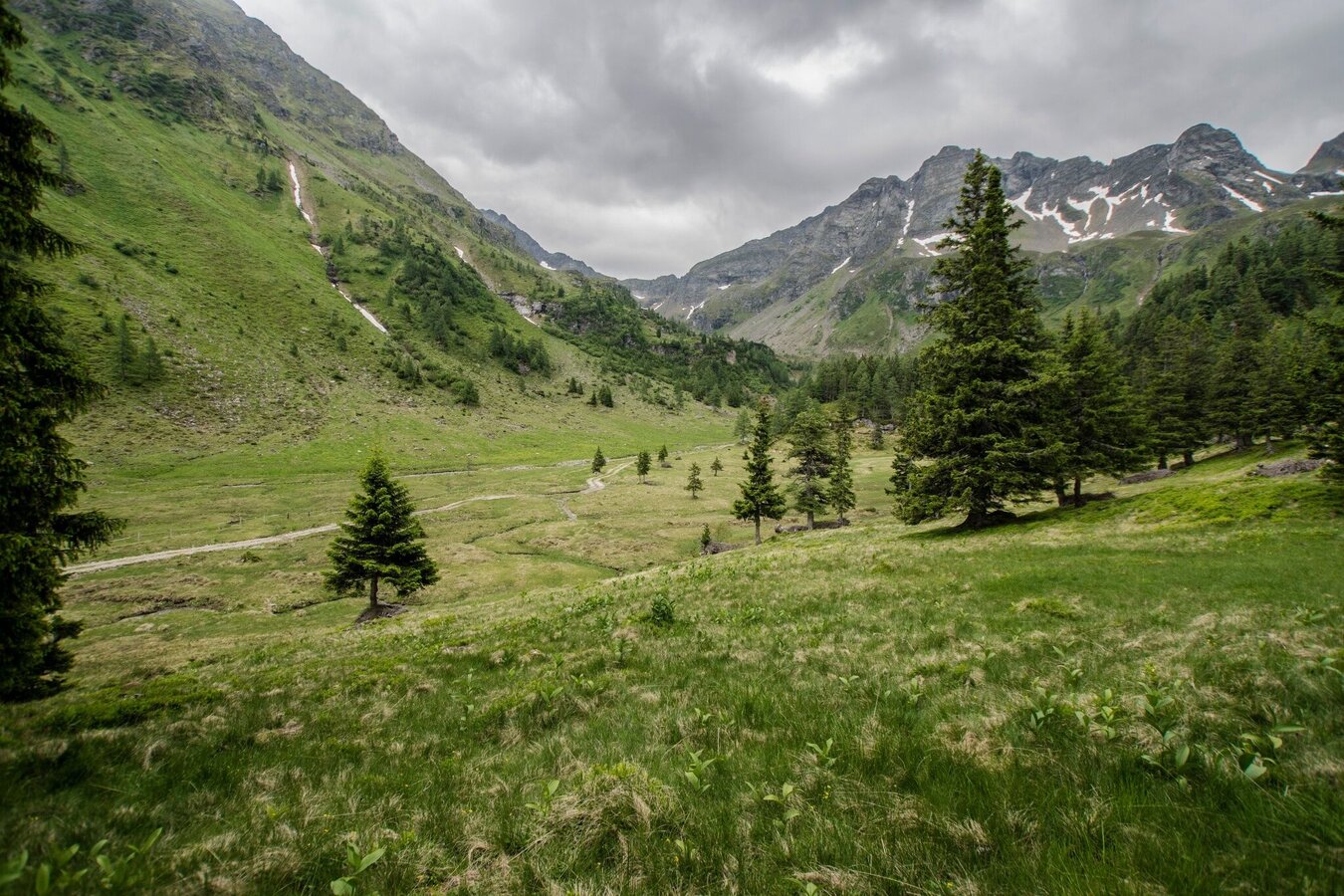
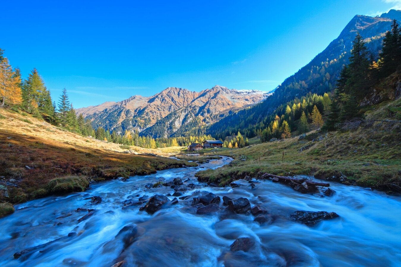
Starting from the hiking trail head Eschachalm – initially alongside the stream until you reach the alpine grazing area at the Neualm. After an uphill stage, things get a little easier, the forest is left behind and small waterfalls add life to the scenery. You now cross an open area known as the Neualmkar and come to the Keinprechthütte chalet.
Nestled in the midst of an alpine basin, the countryside is dominated by the surrounding peaks of the Schladminger Tauern. The Keinprechthütte is a milestone along the Schladminger Tauern High Trail, and is also an outstanding starting point for other mountaineering tours. Curious what natural wonders are hidden behind those mountaintops?
This particular hike, however, can be continued either over the Trockenbrotscharte to the Landarwirseehütte and Gollinghütte, or to the west across the Krukeckscharte and Rotmandlscharte to the shores of the Giglachseen Lakes. From the Keinprechthütte, the same path or a forest lane both lead back to the trailhead at Eschachhütt'n Inn.
- Buses of Planai-Hochwurzen-Bahnen: www.planaibus.at
Changes in weather patterns, quick falls in temperature, thunderstorms, wind, fog and snow are some of the dangers that can be encountered on a hiking tour. Hosts of alpine huts and mountain refuges have a lot of experience in the mountains and can give good advice about weather and the trails. Poor equipment, overestimation of one's own capabilities, carelessness, poor personal constitution and/or wrong judgement can lead to critical situations. In case of thunderstorms: avoid summits, ridges and steel ropes.
GPS data and orienteering
Available GPS data - just like hiking maps - is only a guidance for orientation and can never depict a trail exactly with all its details. Especially at dangerous spots it is essential to judge on site how to proceed.
In an emergency please call:
- 140 - for Alpine emergencies (all over Austria)
- 112 - European GSM emergency number
Tourist information: www.schladming.com
Information about bus schedules: www.planaibus.at
360° drone images
Get yourself an overview with our 360° drone images:
- Via Rotmandlspitze: https://vonoben.schladming-dachstein.at/sommer/index.php?S=310
- View into Neualmkar cirque: https://vonoben.schladming-dachstein.at/sommer/index.php?S=312
- At Trockenbrotscharte ridge: https://vonoben.schladming-dachstein.at/sommer/index.php?S=313
- Hiking map ‘Hiking WEST’ available at the information offices in the region.
- Schladming hiking map, 1:25,000, available at the Schladming information office.
- Hiking map Schladming-Dachstein, 1:50,000, available at the information offices in the region.
- Hiking guide Schladming-Dachstein by Herbert Raffalt, available at the information offices in the region.