
From Untertal to Hochwildstelle
Tour description
Trail characteristics:
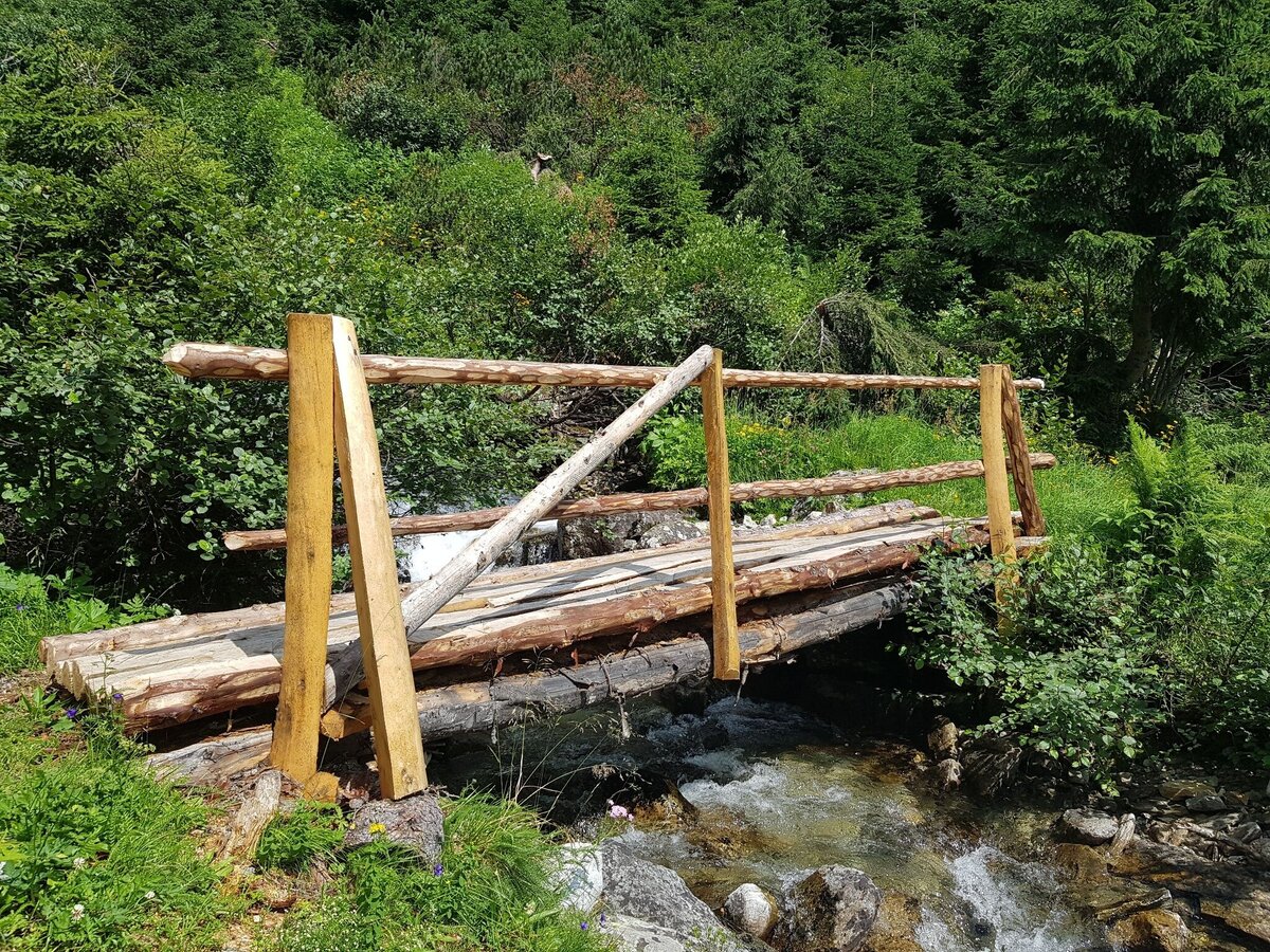
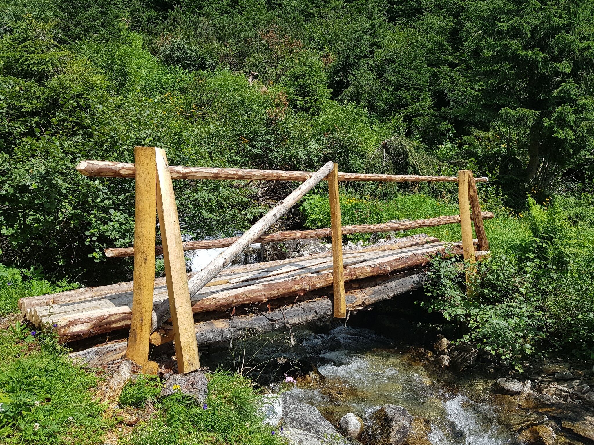
From Seeleiten car park in Untertal to Kerschbaumeralm the trail follows a forest road (alternatively you can ascend via the alpine trail through Höll gorge). From Kerschbaumeralm to Neualmscharte gap the route is a typical alpine hiking trail. From Neualmscharte gap (Northwest ridge) to Wildlochscharte gap (South ridge) the route is a high alpine trail with short climing sections. Pay attention to the section safety information. Along the route there are Almgasthaus Riesachfall inn, Gfölleralm chalet, Kaltenbachalm chalet, Preintalerhütte chalet & refuge, Waldhornalm chalet and Berallerhütte chalet at Kotalm that offer refreshments. However, you should bring along enough drinks and snacks for the tour. There are no refreshment stops between Kaltenbachalm chalet and Preintalerhütte/Waldhornalm chalets (walking time of 5.5 to 6 hours).
Points of interest:
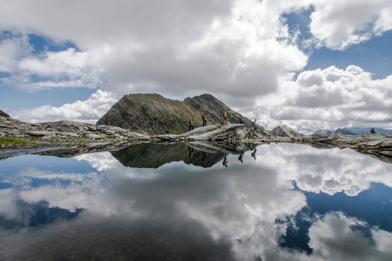
- Riesach waterfalls, alpine trail through Höll gorge and Riesachsee Lake
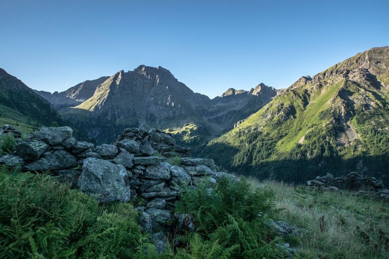
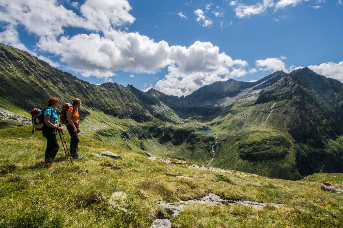
- Alpine meadows at Neualm and Neualmscharte gap
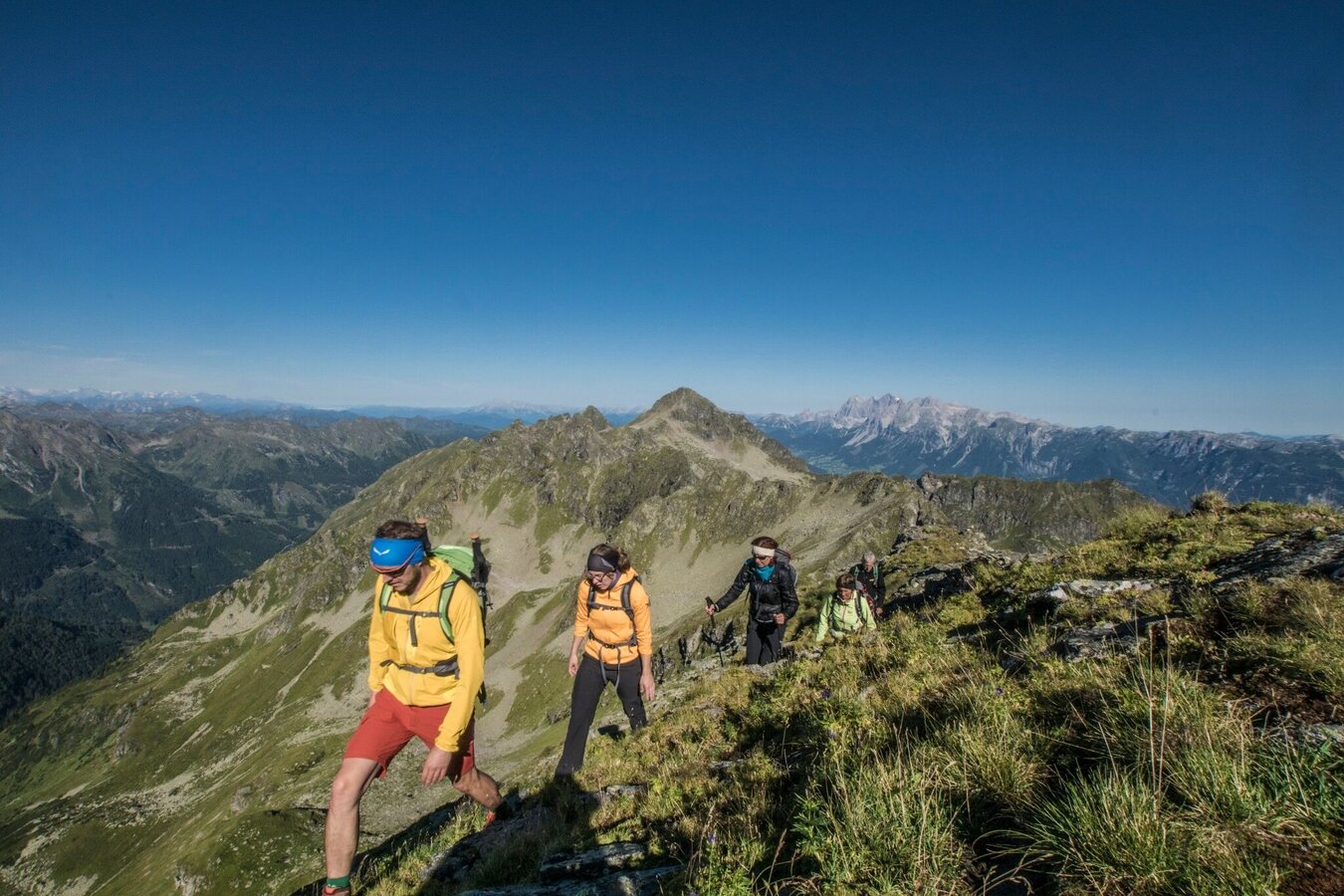
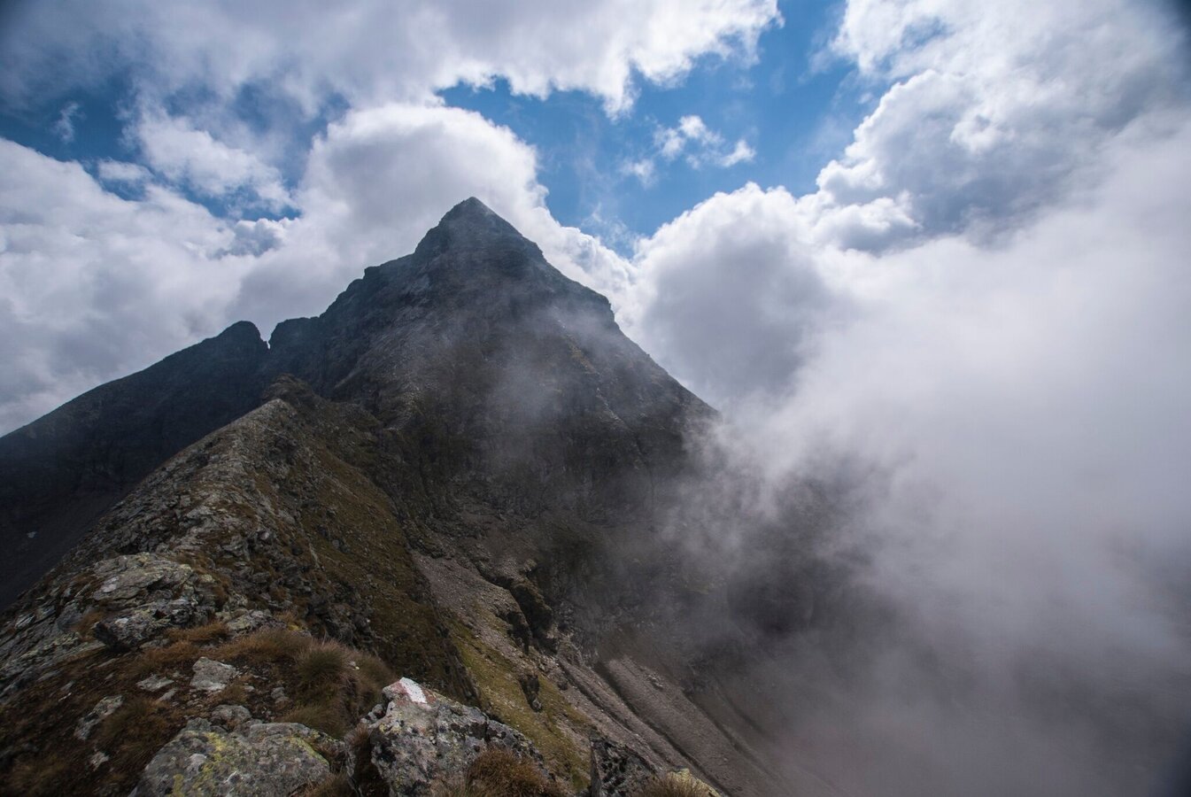
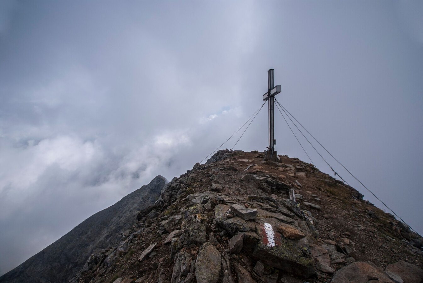
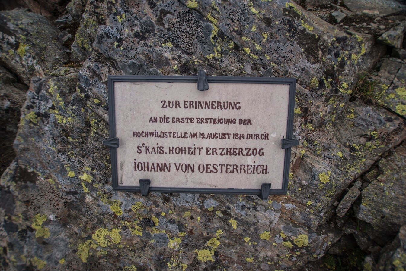
- Kleine Wildstelle secondary and Hochwildstelle summit - the highest peak totally within the federal state of Styria.
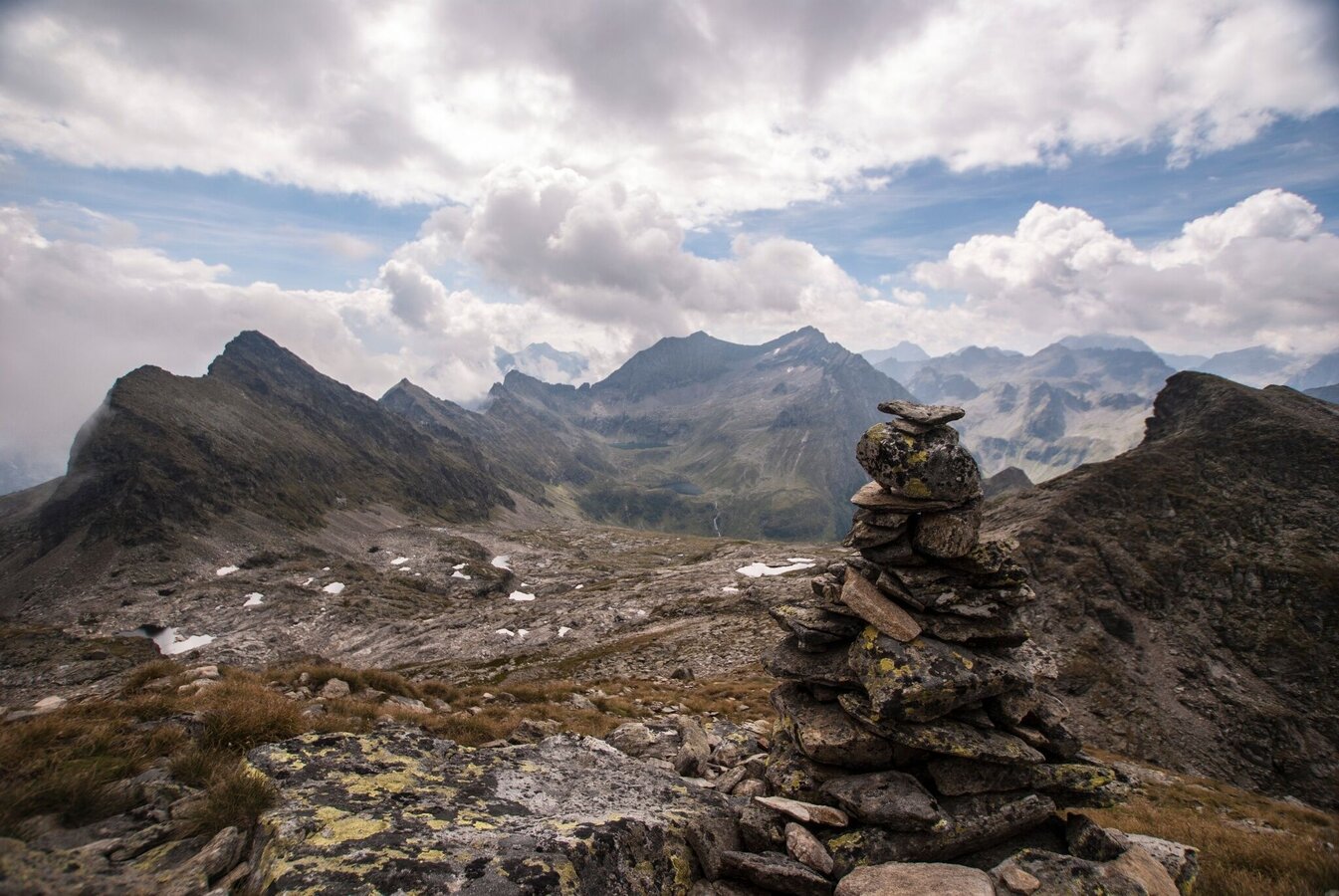
- Wildlochscharte gap and descent through Trattenkar cirque with panoramic view to Sonntagskarseen lakes
The tour
Map, elevation profile & further information
Starting at Almgasthaus Riesachfall inn at Seeleiten car park you either hike to Gfölleralm chalet via the forest lane or the alpine trail through "Höll" gorge. From Gfölleralm you pass by Riesachsee lake and Kaltenbachalm chalet and reach Kerschbaumeralm where trail n° 777a truns off left towards Neualm. Follow this trail via Brandalm to Neualm (1,849 m), from where you take trail n° 781/782 towards Preintalerhütte. After just a bit you reach the way point "Höfertsteig" where you take trail n° 782 to Neualmscharte (2,347 m).
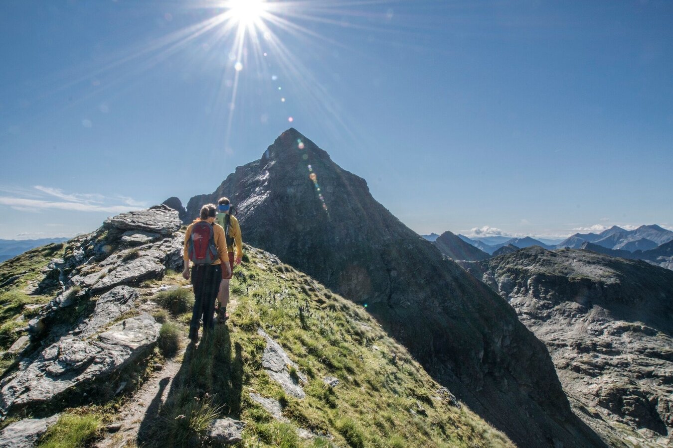
Once you reach Neualmscharte gap the high-alpine part of the tour begins. Along the edge and via "Kleine Wildstelle" (2,577 m) you hike and climb to the summit of Hochwildstelle (2,747 m). Hochwildstelle is the highest mountain entirely located in the federal state of Styria. The view is breathtaking!
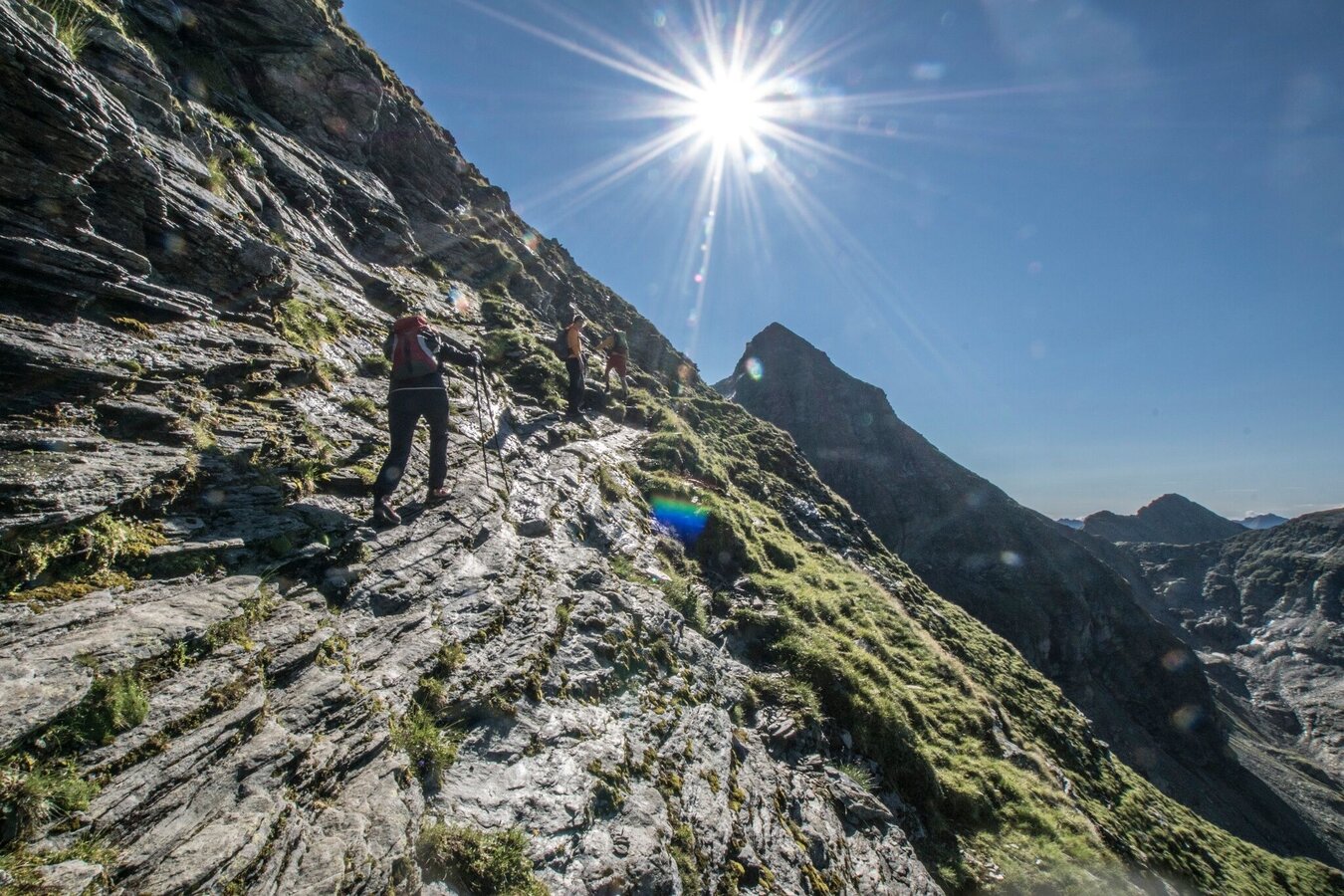
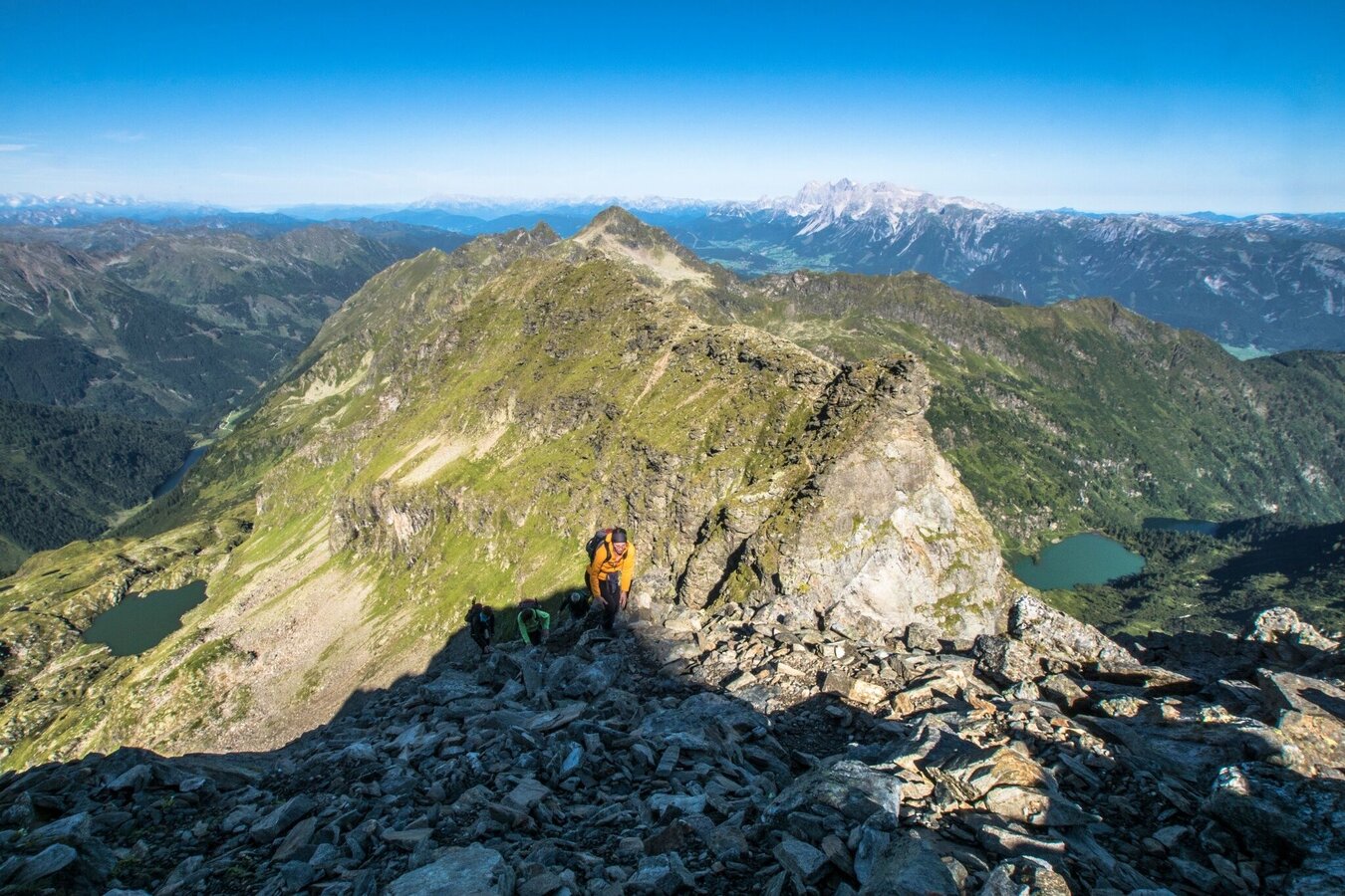
From the summit you climb down the South ridge, with some sections that are very exposed. Once you reach Wildlochscharte (2,460 m) you take trail n° 702 through the Trattenkar cirque to Preintalerhütte and Waldhornalm (1,656 m) chalets. From the chalets it takes you about 35 minutes to reach the forest lane towards Riesachsee Lake. Passing by Berallerhütte chalet at Kotalm you again reach the way point at Kerschbaumeralm. From here follow the way back you already know.
Seeleiten car park - Riesach waterfall.
ATTENTION: parking fees
Take the Planai buses from Schladming (Planet Planai) or Rohrmoos (Rohrmoos-Zentrum) to Seeleiten car park and Riesach waterfall in Untertal valley.
- Planai buses: www.planaibus.at
The tour to Hochwildstelle is a challenging hike. There are several routs for ascent and descent, which are all similar in difficulty due to the fact that the last 400 m in vertical ascent to the summit either have to be made via the Northwest or the South ridge. Both, on the Northwest and the South ridge there are some passages with short climbs, and especially on the route via the South ridge there are several sections that are very exposed. Experience on high alpine trails and good stamina are a must!
Changes in weather patterns, quick falls in temperature, thunderstorms, wind, fog and snow are some of the dangers that can be encountered on a hiking tour. Hosts of alpine huts and mountain refuges have a lot of experience in the mountains and can give good advice about weather and the trails. Poor equipment, overestimation of one's own capabilities, carelessness, poor personal constitution and/or wrong judgement can lead to critical situations. In case of thunderstorms: avoid summits, ridges and steel ropes.
GPS data and orienteering
Available GPS data - just like hiking maps - is only a guidance for orientation and can never depict a trail exactly with all its details. Especially at dangerous spots it is essential to judge on site how to proceed.
In an emergency please call:
- 140 - for Alpine emergencies (all over Austria)
- 112 - European GSM emergency number
A well-packed backpack is helpful and especially when touring Alpine terrain a tuque, gloves, a windproof jacket and pants are standard equipment. Good, waterproof shoes, sun glasses, sun cream and sufficient beverages are essential too. Torch light, a map of the area, knie and a small first-aid kit should also be in the backpack.
In early summer or early onsets of winter you may need crampons.
Tourist information: www.schladming.com
Information about bus schedules: www.planaibus.at
360° drone images
Get yourself an overview with our 360° drone images:
- View up to Neualmscharte ridge:
- View over Riesachsee Lake:
If you are not sure whether the tour may be to difficult for you, please contact one of our local mountain guides:
Alpine school Schladming | Herbert Raffalt
Certified mountain and ski guide - Alpine photographer – author
+43 (0)664 8980895
www.raffalt.com
Mountain and ski school Monte Krah | Gerhard Resch
Certified mountain and ski guide, certified skiing instructor
+43(0)664 1400439
www.monte-krah.com
Mountain and Adventure School | Heli Rettensteiner
Certified mountain and ski guide
+43 (0)6454 7624 or +43 (0)664 95 05 363
www.bergundabenteuer.at
Patrick Laszlo
Certified mountain and ski guide
+43 (0)664 42 51 234
www.bergfuehrer-schladming.at
- Hiking map ‘Hiking WEST’ available at the information offices in the region.
- Schladming hiking map, 1:25,000, available at the Schladming information office.
- Hiking map Schladming-Dachstein, 1:50,000, available at the information offices in the region.
- Hiking guide Schladming-Dachstein by Herbert Raffalt, available at the information offices in the region.


