
From Reiteralm to Pichl
Tour description
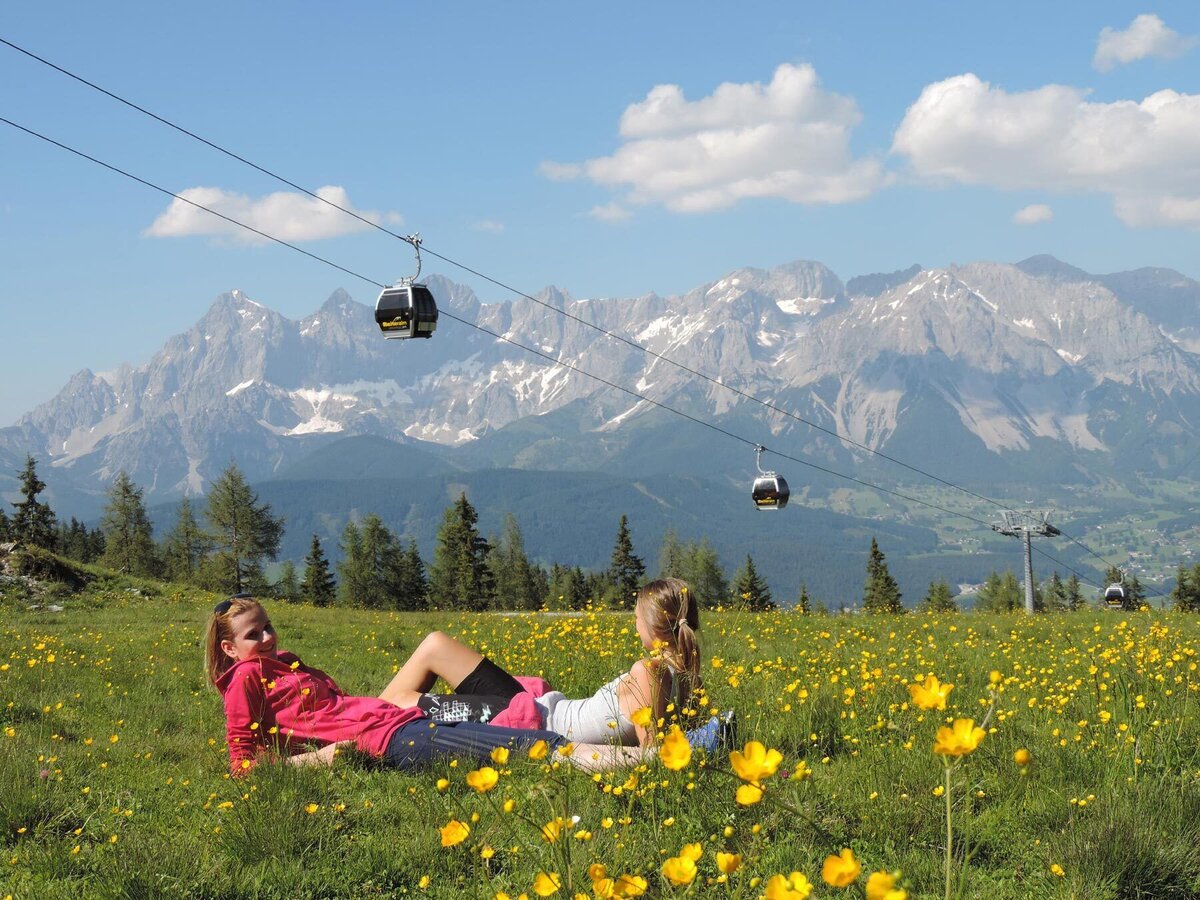
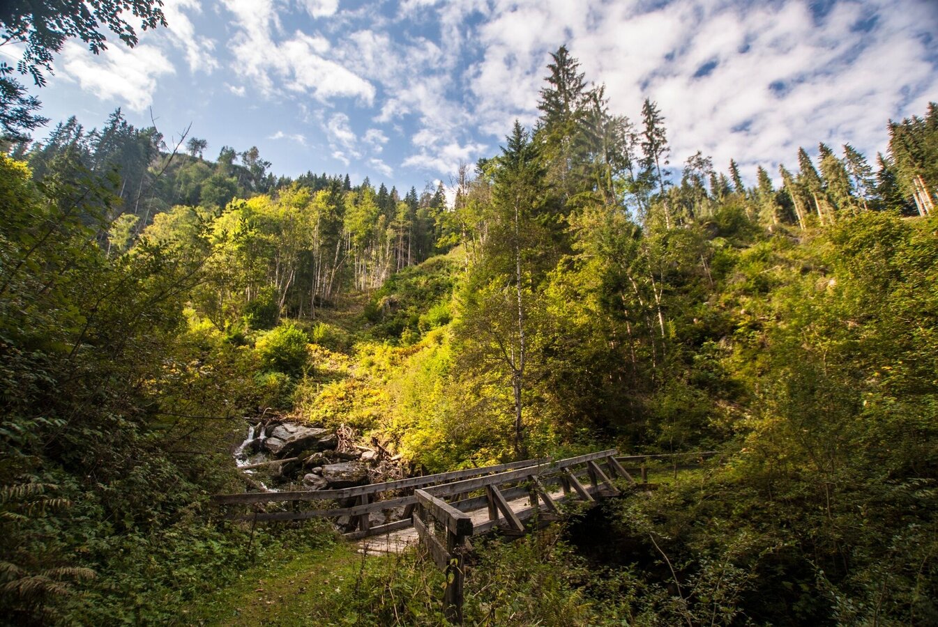
Beautiful hike through the high forest from the Reiteralm to Pichl im Ennstal along hiking trail #772. The hike starts at the Reiteralmsee and leads you along a hiking trail and partly along forest paths into the Preuneggtal valley. From the Almdorf Reiteralm, you have to hike a few sections along the Reiteralmstraße or Preuneggstraße into the valley. On the way down into the valley, you have magnificent views of the Ramsau plateau and the Enns Valley.
The tour
Map, elevation profile & further information
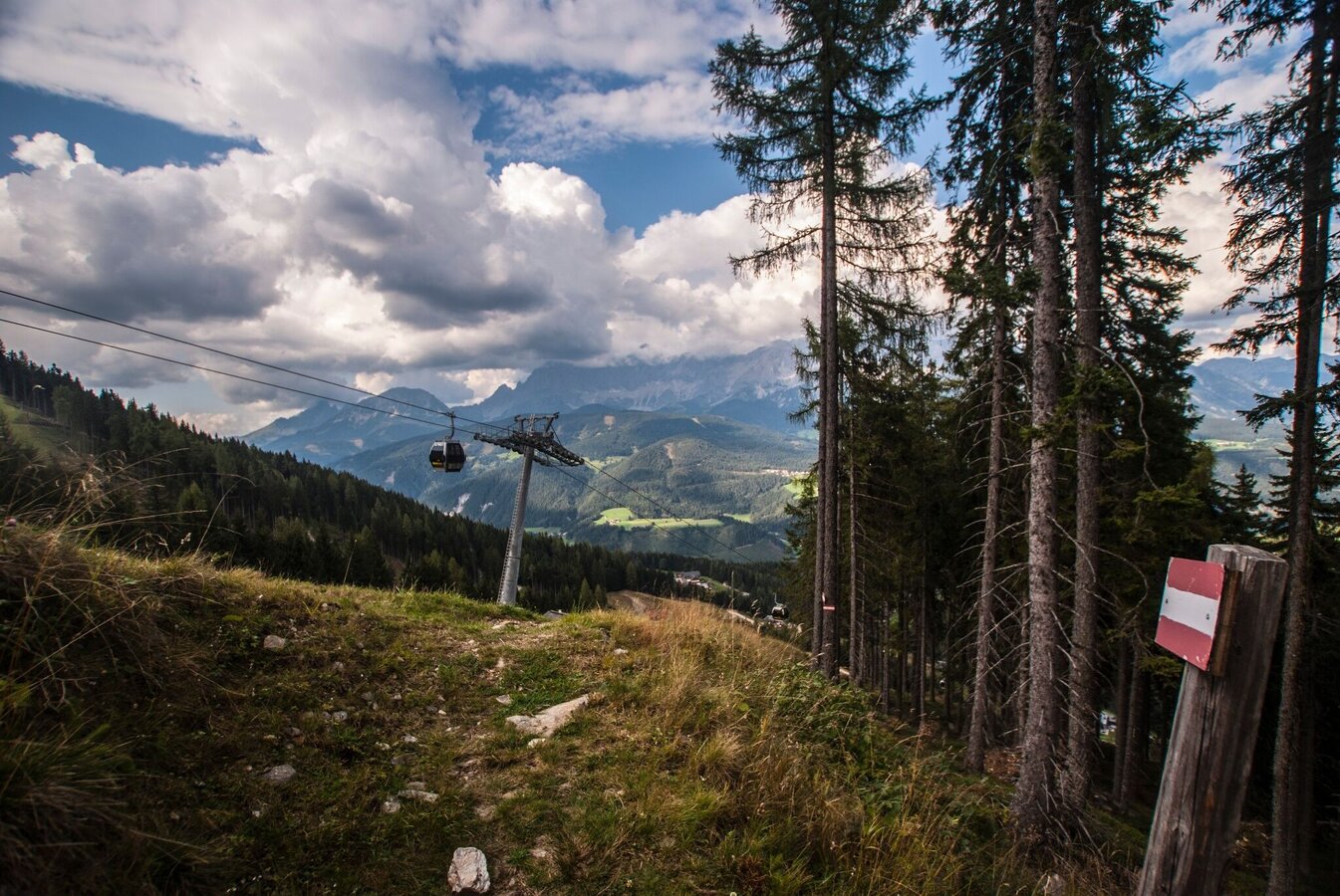
From the mountain terminal of Preunegg-Jet you start your hike passing by Gasselhöh'-Hütte and Reiteralmhütte chalets. Shortly walk along Reiteralmstraße road and after a few 100 meteres turn off left on trail n° 772. Alternatively reach this turn-off via the "Summer Snow Walk".
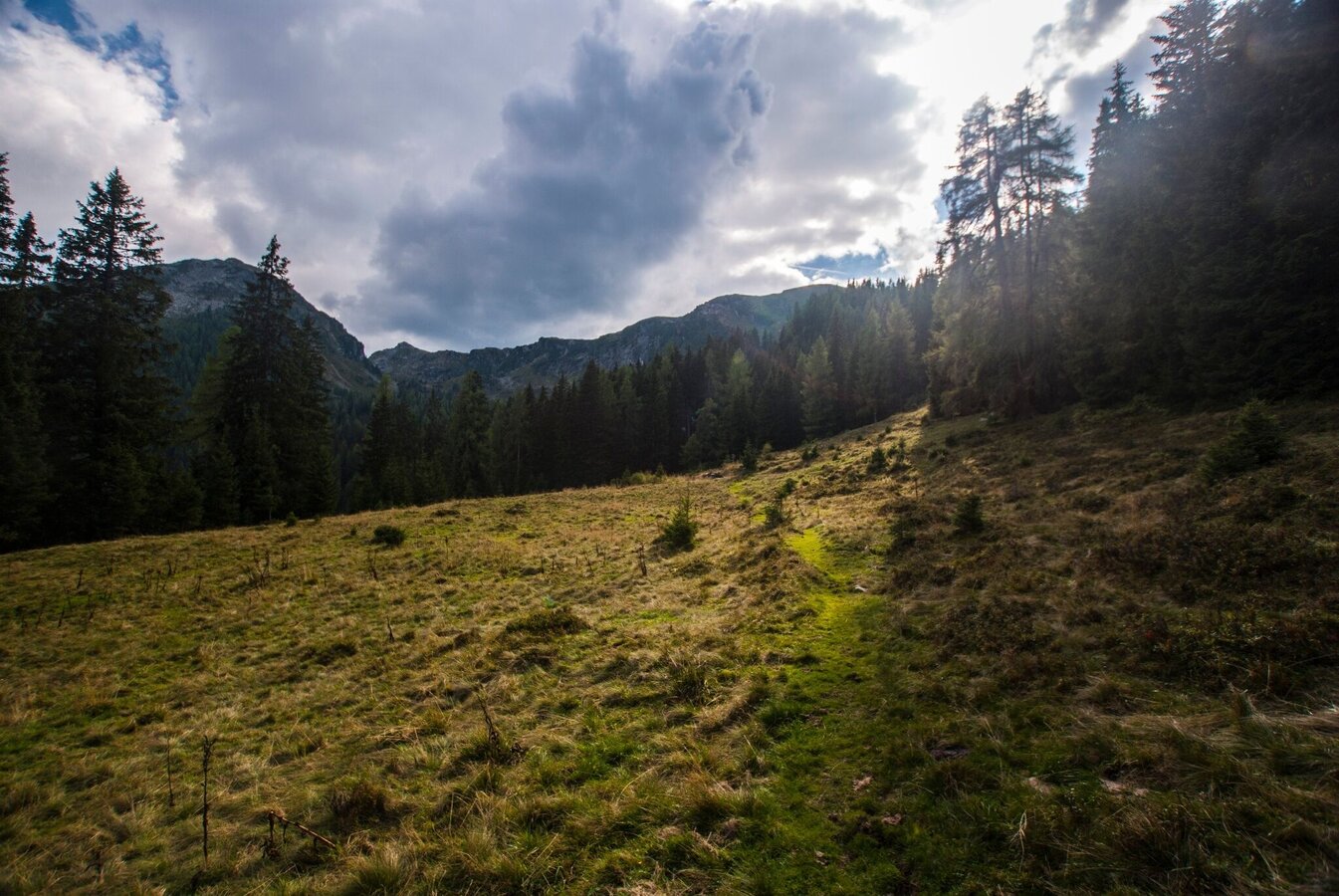
Via alpine meadows and through forest you start your descent to the valley on trail n° 772 towards Almdorf Reiteralm and Almwelt Austria. While descending you cross forest roads several times and also walk across Reiteralmstraße 3 times until you reach Almdorf Reiteralm.
Passing by Almdorf Reiteralm on Reiteralmstraße road you then turn off left and take the trail through the forest which takes you again to Reiteralmstraße road a bit further downhill. From here you follow the road and in a couple of minutes you will reach the valley terminal of Preunegg-Jet cable-car.
Alternative to Pichl
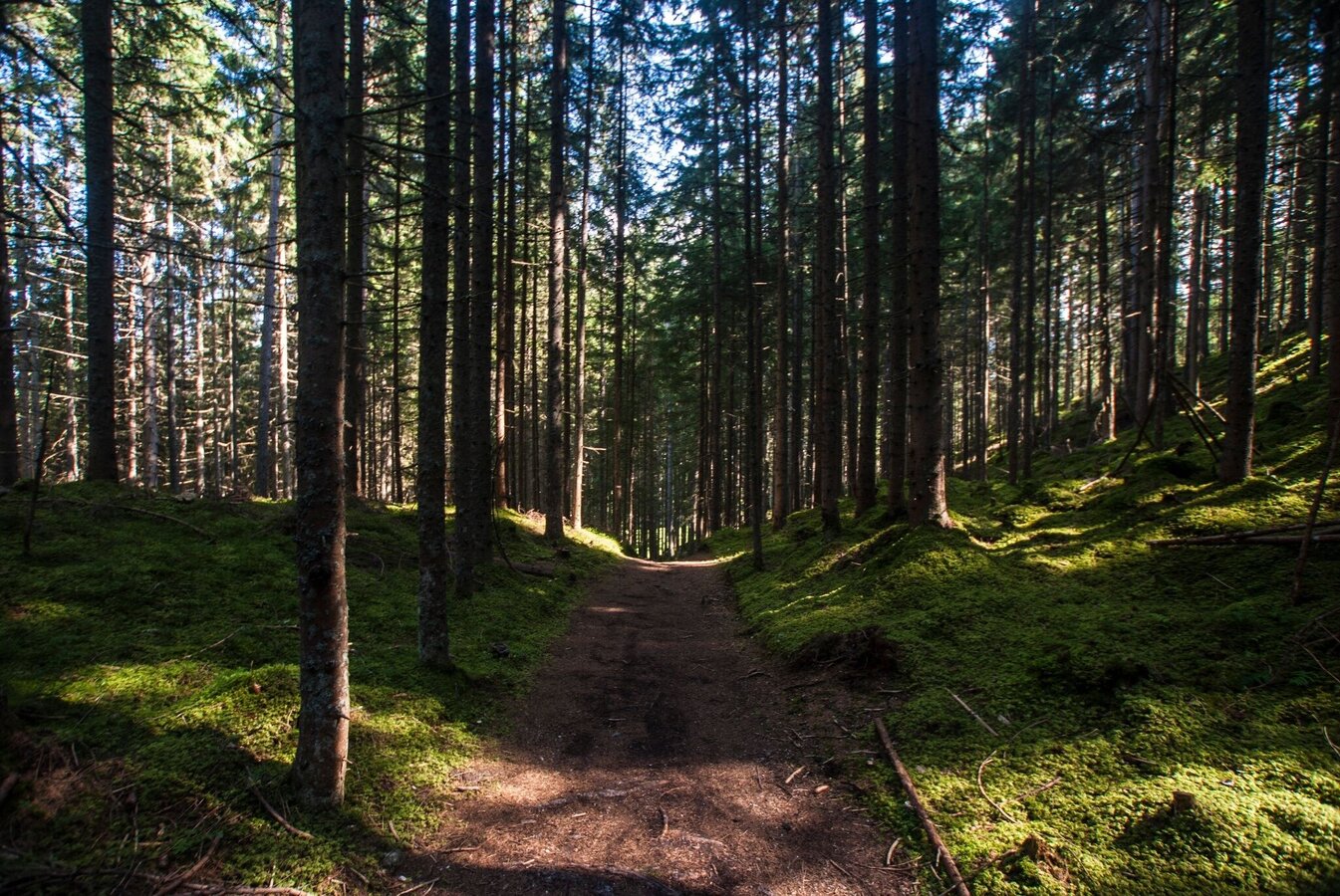
sporty hikers hike further into the valley to Pichl. Briefly follow Preuneggstraße northwards - past Gasthof Bankwirt. At the bend, turn right onto the hiking trail and head downhill through the forest until you reach Preuneggstraße again. Follow the road briefly until the hiking trail branches off into the forest again just after the next bend. From here, the forest path leads into the narrow ditch of the Preuneggbach stream and to the Weitgasserhof farm on the valley floor.
Here you can either walk straight ahead to Café Hermann or left over the Heißhof and the Ennsbrücke bridge to the Freizeitstüberl at the Freizeitpark Pichl. Once you reach the bottom of the valley, you have now earned some refreshments.
Exit from federal highway B320 in Pichl and continue on Preuneggstraße road to the valley terminal of Preunegg-Jet. From here take the cable-car Preunegg Jet to Reiteralm (operating times at www.reiteralm.at).
You can also ascend to Reiteralm by car via Reiteralmstraße toll road (turning off right at the valley terminal of Preunegg-Jet cable-car).
Parking lots:
- Parking at Gasselhöh'-Hütte chalet
- Parking at Reiteralm Hütte chalet
- Parking at Eiskarhütte chalet
- Parking at the valley terminal of Preunegg-Jet cable-car and ascent with the cable-car (operating times at www.reiteralm.at)
Take the bus from Ramsau via Pichl-Vorberg to the valley terminal of Preunegg-Jet (only Tuesday, Friday and Sunday).
- Fahrplan Ramsauer Verkehrsbetriebe: www.rvb.at
Ride up to Reiteralm with the cable-car Preunegg-Jet (operating times at www.reiteralm.at).
Changes in weather patterns, quick falls in temperature, thunderstorms, wind, fog and snow are some of the dangers that can be encountered on a hiking tour. Hosts of alpine huts and mountain refuges have a lot of experience in the mountains and can give good advice about weather and the trails. Poor equipment, overestimation of one's own capabilities, carelessness, poor personal constitution and/or wrong judgement can lead to critical situations. In case of thunderstorms: avoid summits, ridges and steel ropes.
GPS data and orienteering
Available GPS data - just like hiking maps - is only a guidance for orientation and can never depict a trail exactly with all its details. Especially at dangerous spots it is essential to judge on site how to proceed.
In an emergency please call:
- 140 - for Alpine emergencies (all over Austria)
- 112 - European GSM emergency number
Tourist information: www.schladming.com
Information about bus schedules: www.rvb.at
Information about cable-car hours: www.reiteralm.at
- Hiking map ‘Hiking WEST’ available at the information offices in the region.
- Schladming hiking map, 1:25,000, available at the Schladming information office.
- Hiking map Schladming-Dachstein, 1:50,000, available at the information offices in the region.
- Hiking guide Schladming-Dachstein by Herbert Raffalt, available at the information offices in the region.


