
Steirische and Lungauer Kalkspitze summits via Kranzl
Tour description
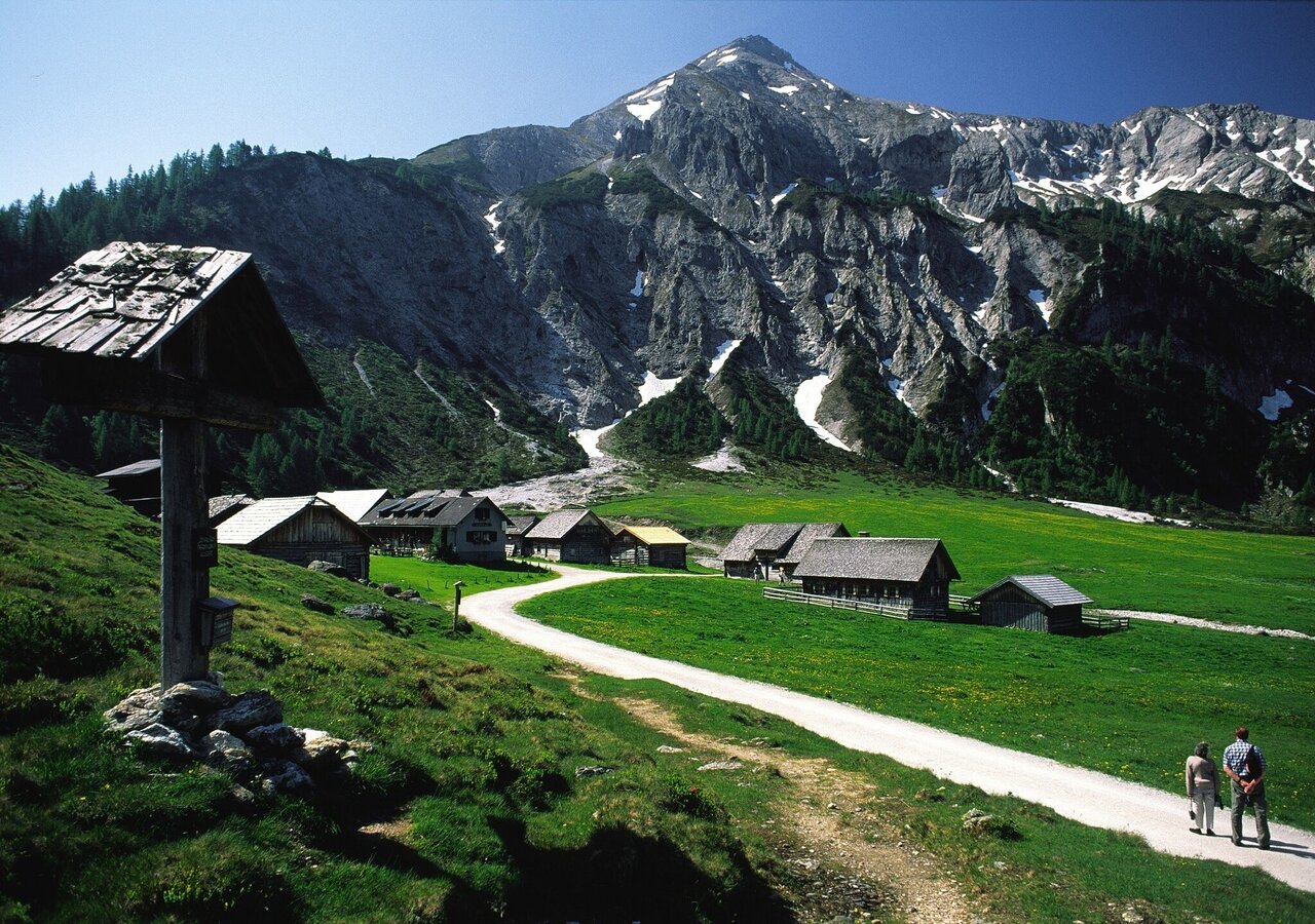
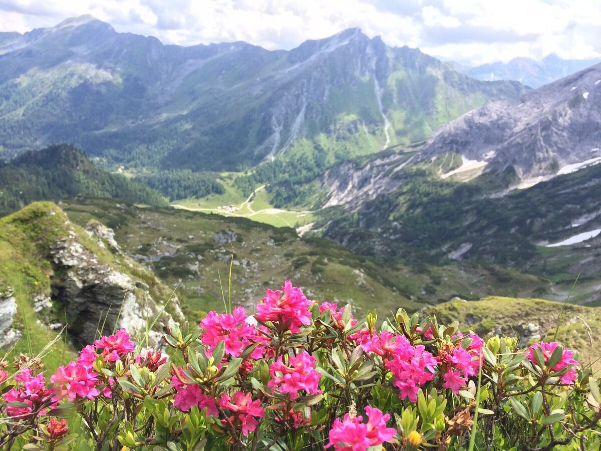
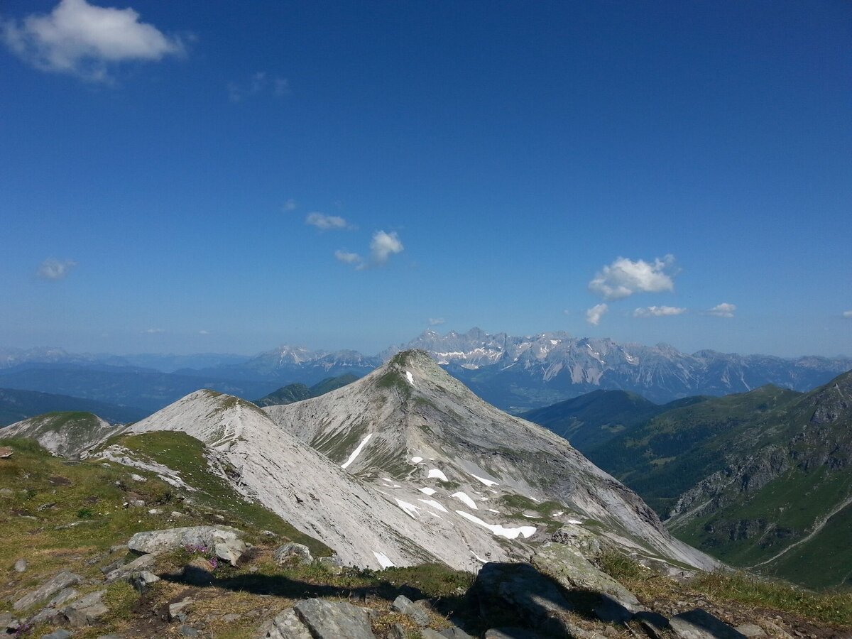
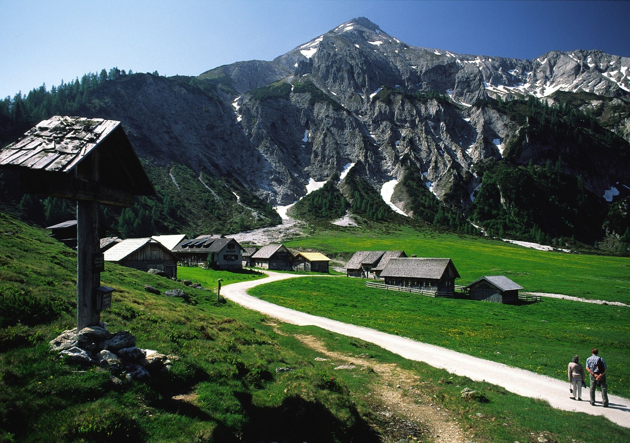
A rewarding mountain hike with some exposed trail sections between the Kranzlhöhe ridge and Meregg summit. From the Akarscharte, the Lungauer Kalkspitze peak is suitable for families while the Styrian Kalkspitze peak is for experienced hikers only! The landscape is dominated by the two limestone peaks that bring a special alpine flora with them. Along the way, Ursprungalm chalet (at the starting/finishing point) and Giglachseehütte chalet offer refreshments for you.
The tour
Map, elevation profile & further information
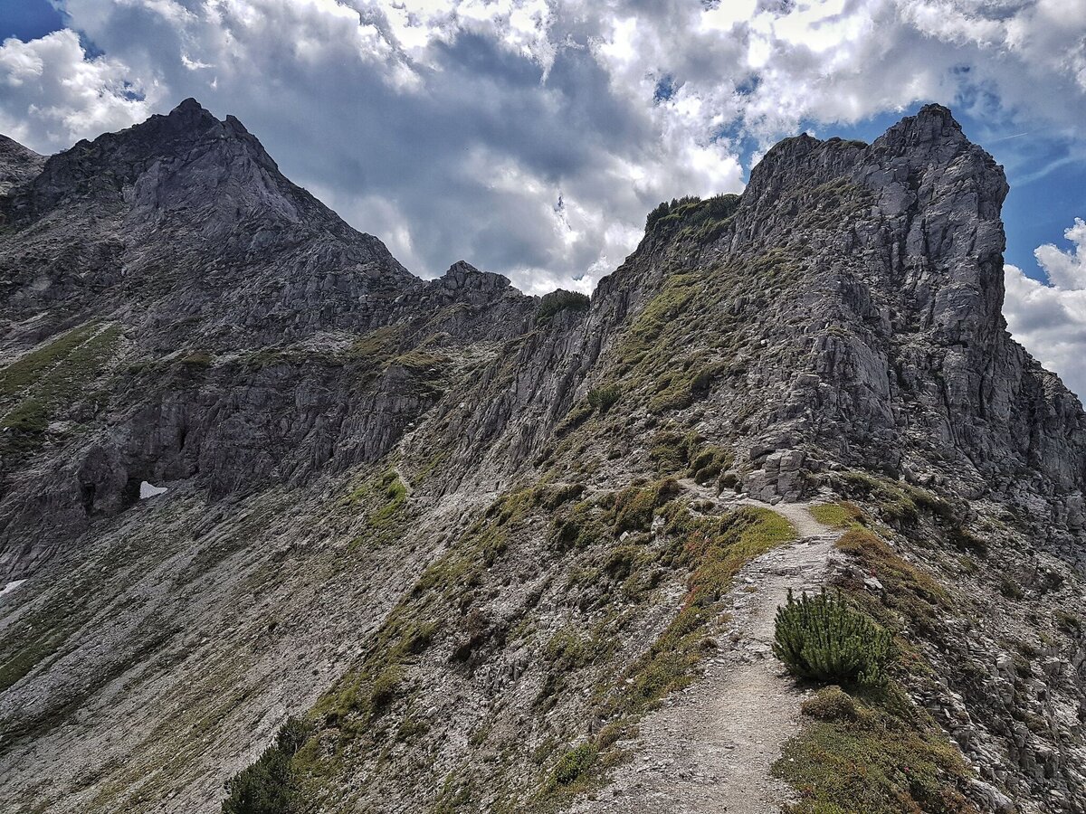
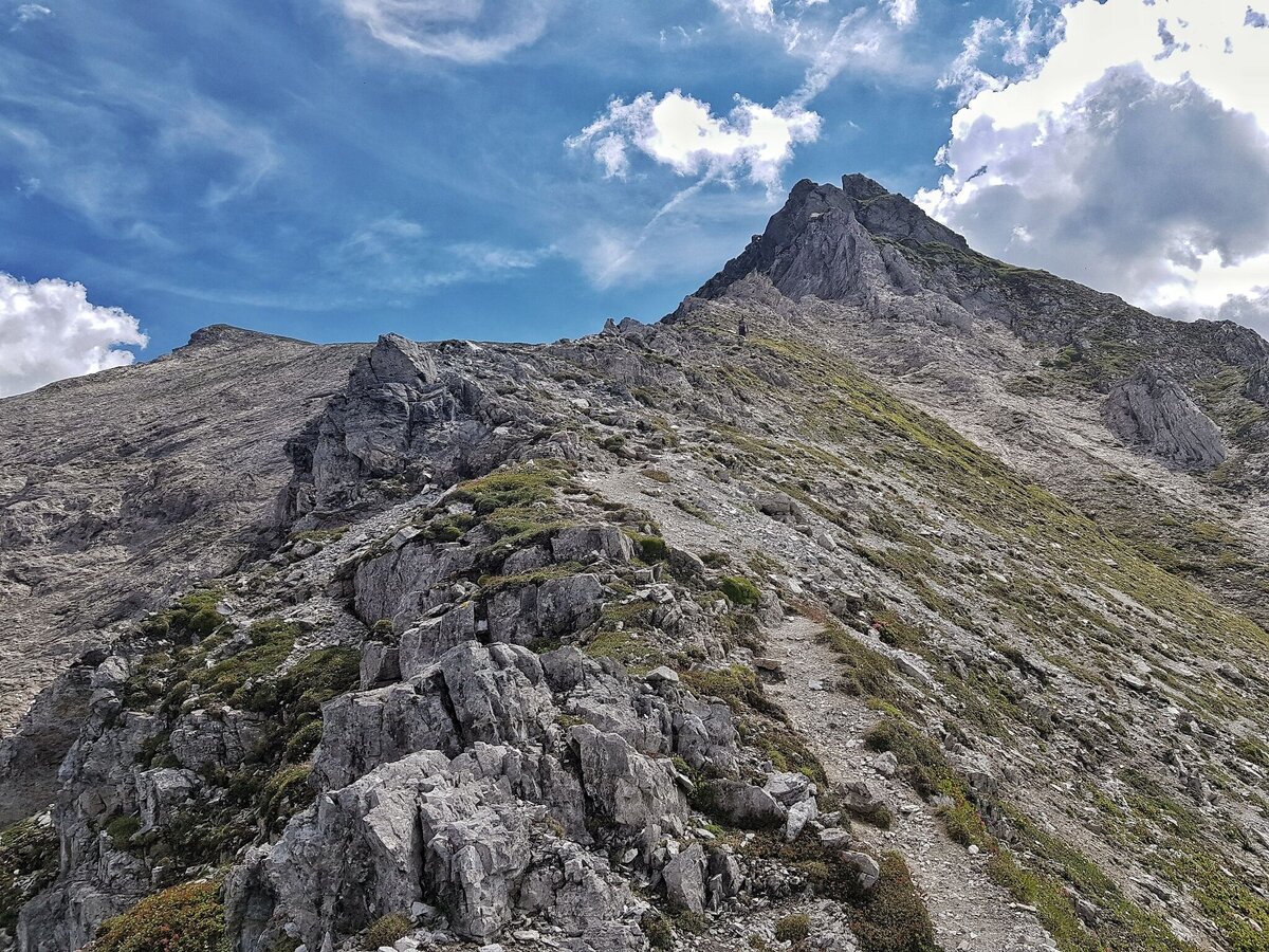
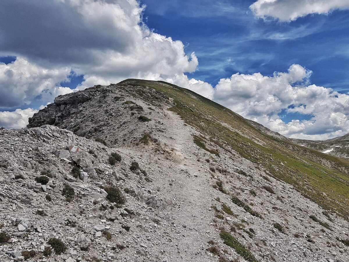
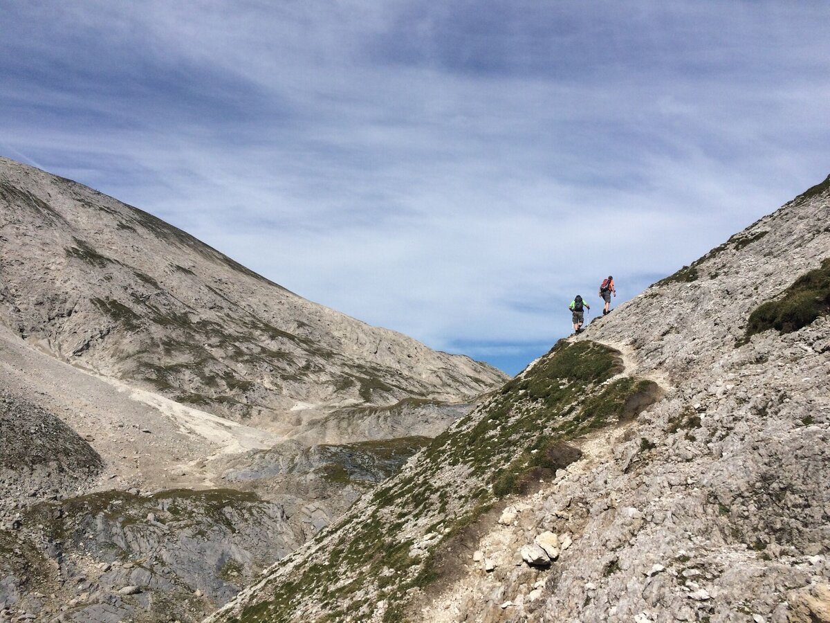
From Ursprungalm follow the Ursprungalm walk for 10 minutes to reach the other side of the Ursprungalm cirque. Here the trail towards "Kranzlhöhe" mountain saddle and "Brotrinnl" turns off to the right. You ascend through high alpine forest and then leave the trees behind. Once you reach the mountain saddle the trail to Steirische Kalkspitze summit branches off left. The trail now leads through high alpine terrain with very steep passages. Also on the last view meters to the the peak you have to be very surefooted.
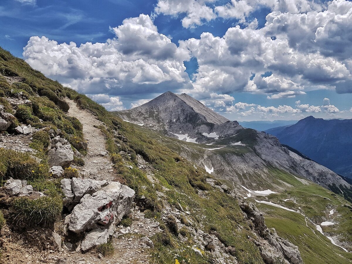
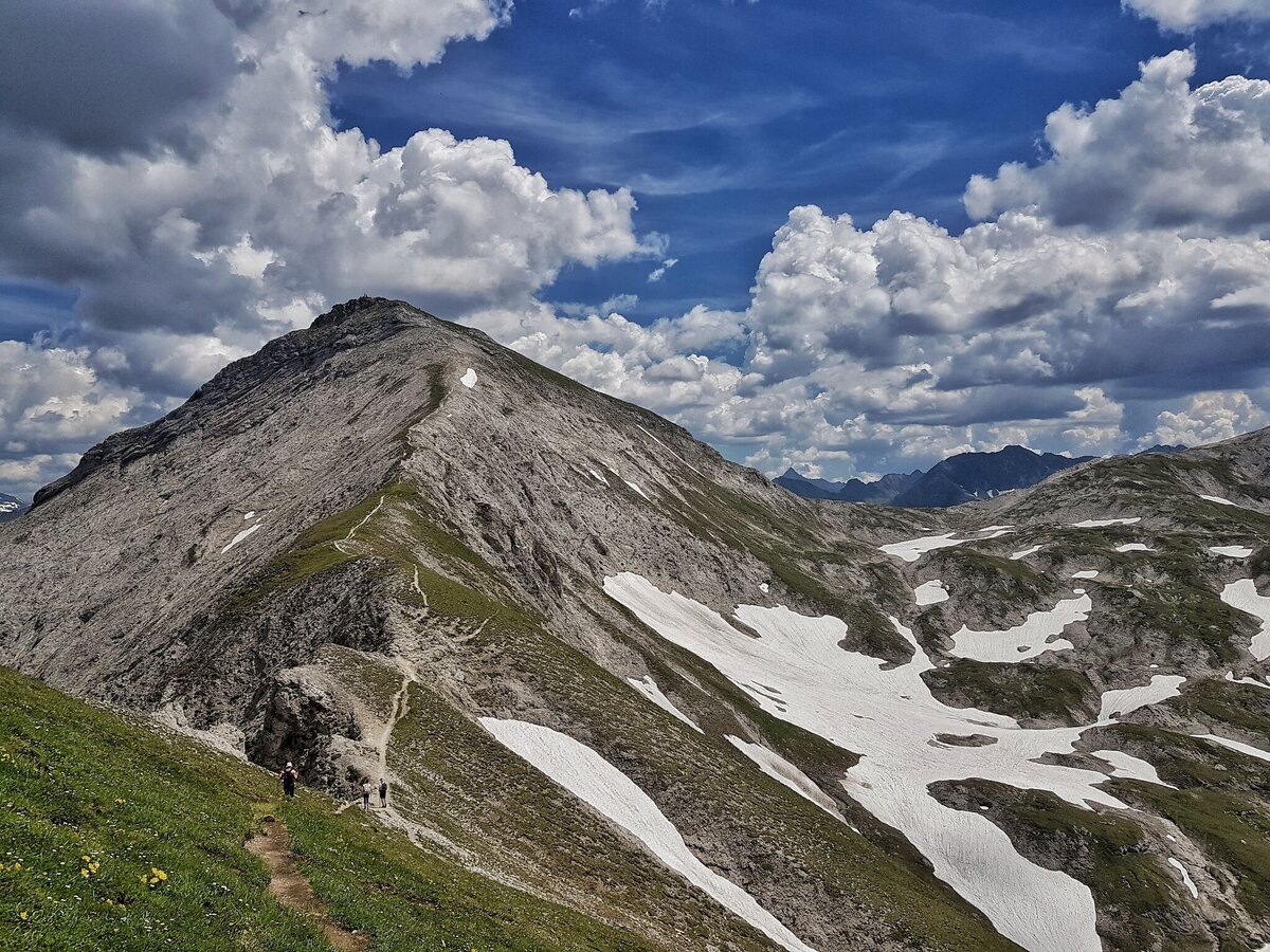
From Steirische Kalkspitze summit you then descend to Akarscharte mountain saddle from where a fairly easy hike takes you to the summit of Lungauer Kalkspitze. From there you take the same way back to Akarscharte where you make a right and hike downhill to Znachsattel mountain saddle. During the descent the Lake Giglachsee which lies in front of you is especially beautiful.You make a left here and reach Giglachseehütte chalet within a couple of minutes. Via Preuneggsattel mountain saddle you descend back to your starting point at Ursprungalm chalets via trail n° 771.
Alternatively you can drive into Preuneggtal valley from Schladming via Rohrmoos. From Schladming you take provincial highway L722 through Rohrmoos and after about 6 kms you turn off right into Hohenbergstraße road. This road will also take you to Strickbrücke road. From here follow the directions as described above.
The best way to the starting point is via Planai buses. You can park your car at Planet Planai in Schladming or in the center of Rohrmoos where parking is available. There is also parking available near Ursprungalm in Preuneggtal valley.- Buses of Planai-Hochwurzen-Bahnen: www.planaibus.at
Changes in weather patterns, quick falls in temperature, thunderstorms, wind, fog and snow are some of the dangers that can be encountered on a hiking tour. Hosts of alpine huts and mountain refuges have a lot of experience in the mountains and can give good advice about weather and the trails. Poor equipment, overestimation of one's own capabilities, carelessness, poor personal constitution and/or wrong judgement can lead to critical situations. In case of thunderstorms: avoid summits, ridges and steel ropes.
GPS data and orienteering
Available GPS data - just like hiking maps - is only a guidance for orientation and can never depict a trail exactly with all its details. Especially at dangerous spots it is essential to judge on site how to proceed.
In an emergency please call:
- 140 - for Alpine emergencies (all over Austria)
- 112 - European GSM emergency number
Information about bus schedules: www.planaibus.at
360° drone images
Get yourself an overview with our 360° drone images:
- View over Giglachkar cirque: https://vonoben.schladming-dachstein.at/sommer/index.php?S=307
- Giglachseen and Kalkspitzen summits: https://vonoben.schladming-dachstein.at/sommer/index.php?S=308
- Hiking map ‘Hiking WEST’ available at the information offices in the region.
- Schladming hiking map, 1:25,000, available at the Schladming information office.
- Hiking map Schladming-Dachstein, 1:50,000, available at the information offices in the region.
- Hiking guide Schladming-Dachstein by Herbert Raffalt, available at the information offices in the region.


