Grimming-Donnersbachtal
Runde am Bach
Winter walking
Data:
copyright: Christoph Lukas
Tour description
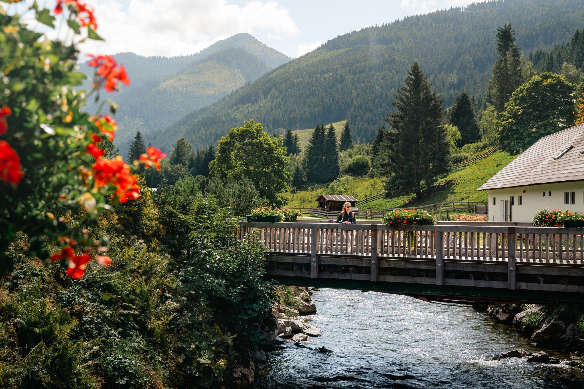
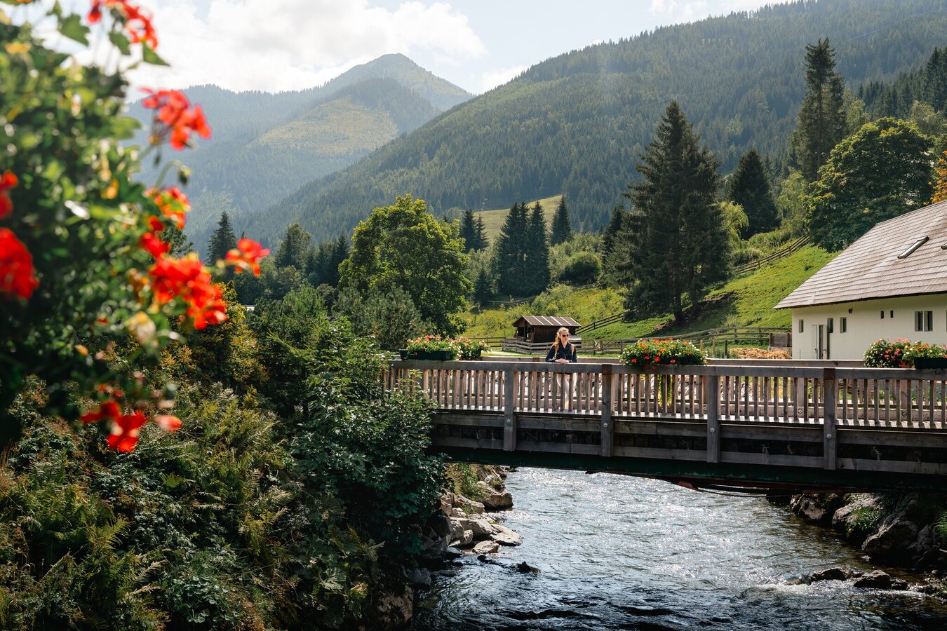
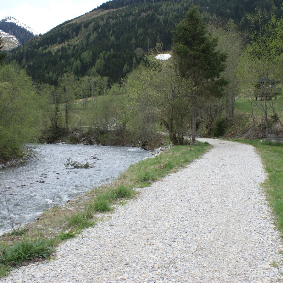
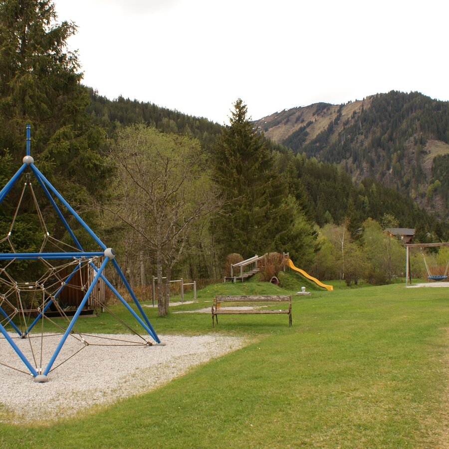
The "Runde am Bach" invites you to take a walk and get some fresh air at any time of the year. Children especially enjoy this path - the path runs directly past horses, donkeys and a children's playground.
The tour
easy
Starting and end point
Brücke Stegerhof
Tour characteristics
Distance: 1.8 km
Information
Distance: 1.8 km
Duration:
40 min
Ascent: 10 m
Descent: 10 m
highest point: 972 m
Best season
Jan
Feb
Mar
Apr
May
Jun
Jul
Aug
Sep
Oct
Nov
Dec
Map, elevation profile & further information
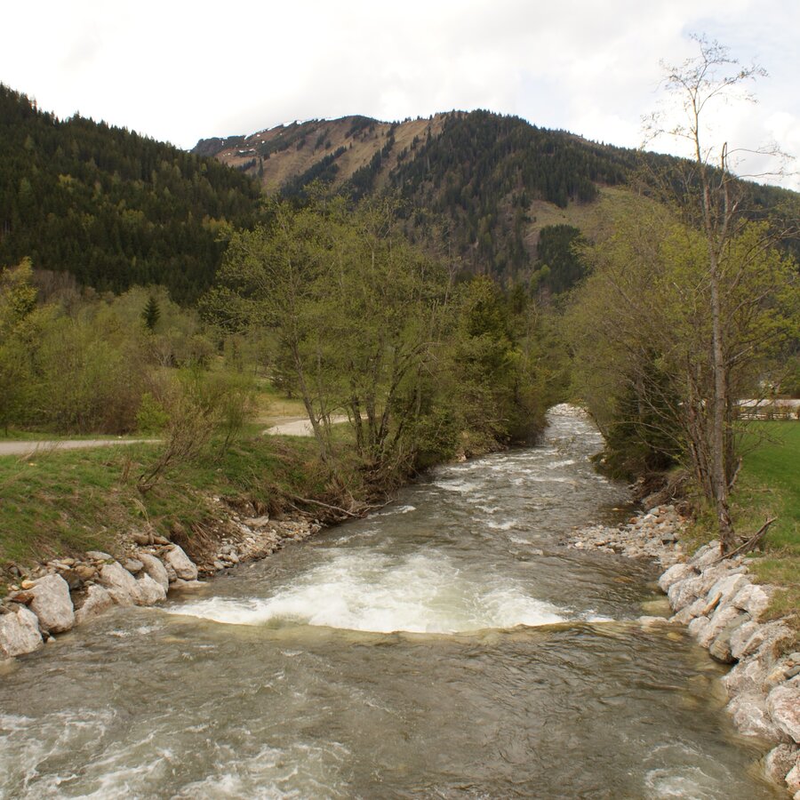
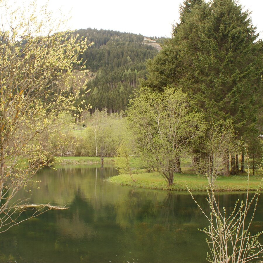
Cross the bridge and then immediately turn left, pass a stable and a paddock and continue straight on along the stream until you reach the large car park of the Riesneralm. Turn left over the bridge and keep going straight back towards the centre of the village. On the way back, you will find the Donnersbachwald recreational area on the left-hand side with a swimming pond, beach volleyball court, children's playground and biotope.
Way number: 6
Coming from the B320, at the crossing Trautenfels in direction Irdning. Then in the direction of Donnersbach, Donnersbachwald.Coming from the B320, at the crossing Trautenfels in direction Irdning. Then in the direction of Donnersbach, Donnersbachwald.
A free parking lot is located directly at the starting point.
A free parking lot is located directly at the starting point.
Take the bus 941 to the bus stop "Donnersbachwald Ort". There you will also find the starting point of the hike.
Bus timetable: www.verbundlinie.at
Attention: no bus connection to Donnersbachwald during the summer holidays!
The closest train station "Stainach-Irdning" is about 22 kilometers away in Stainach.
Train timetable: www.oebb.at
Shoes with light tread and clothing according to the weather forecast.
The biotope with the small island is the ideal place to take a rest.
Tourist information: www.schladming-dachstein.at
Schladming-Dachstein Tourist Office
Ramsauerstraße 756
8970 Schladming
T: +43 3687 23310
info@schladming-dachstein.at
Schladming-Dachstein OST hiking map, available from the information offices in the region.