


Grimming-Donnersbachtal
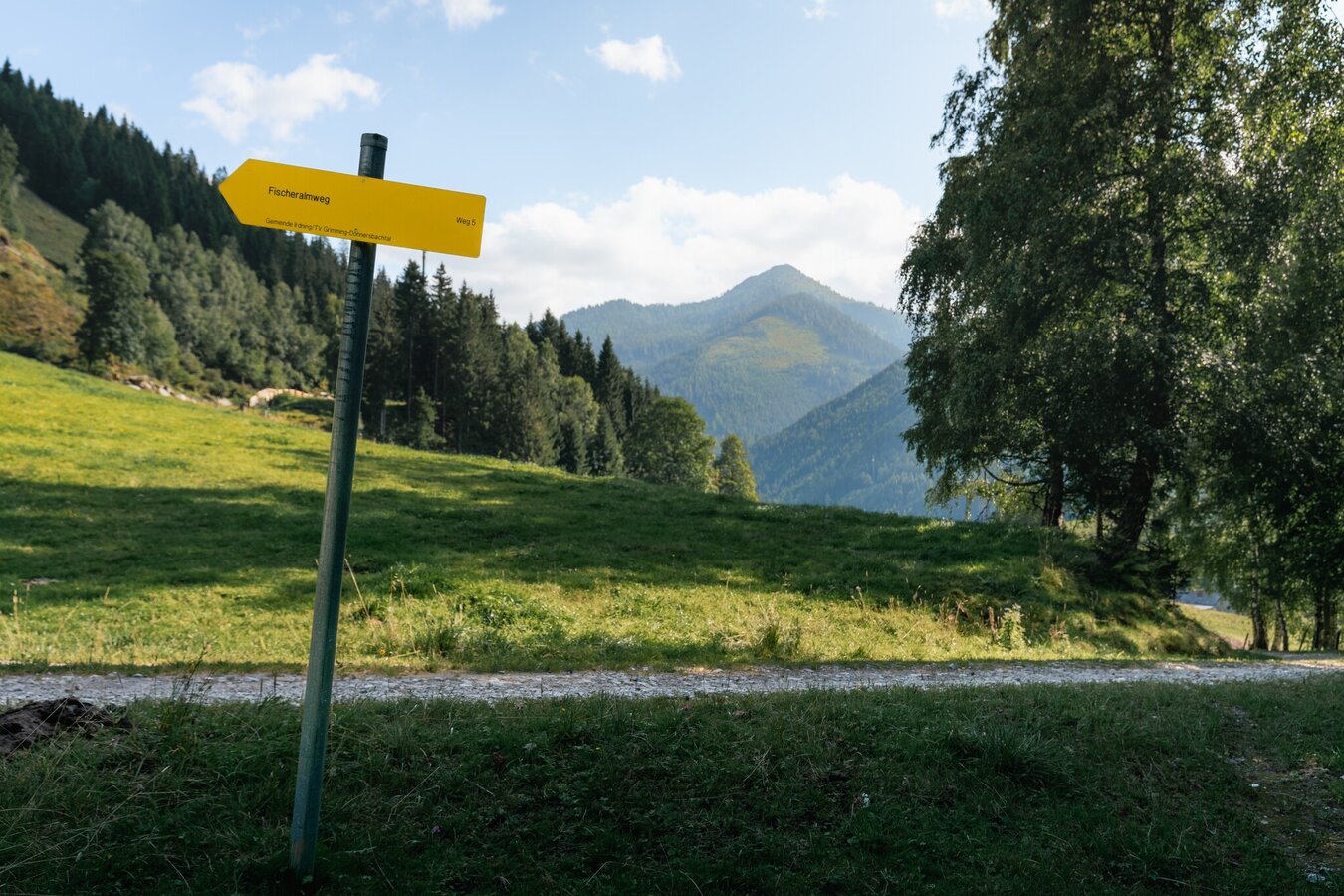
Fischeralmweg
Hiking trail
Data:
copyright: Christoph Lukas
copyright: Christoph Lukas
Tour description
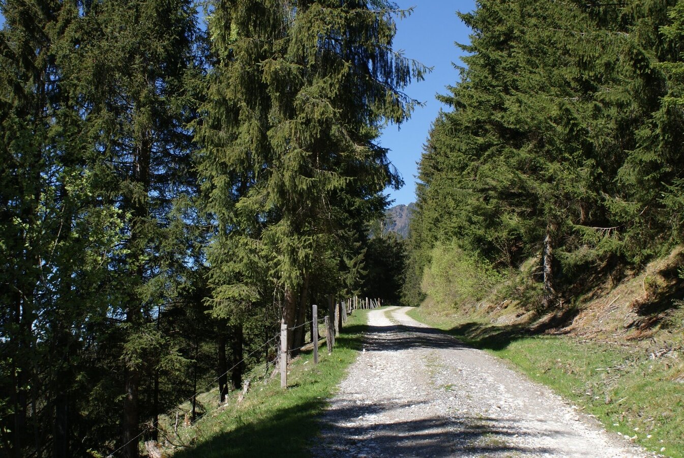
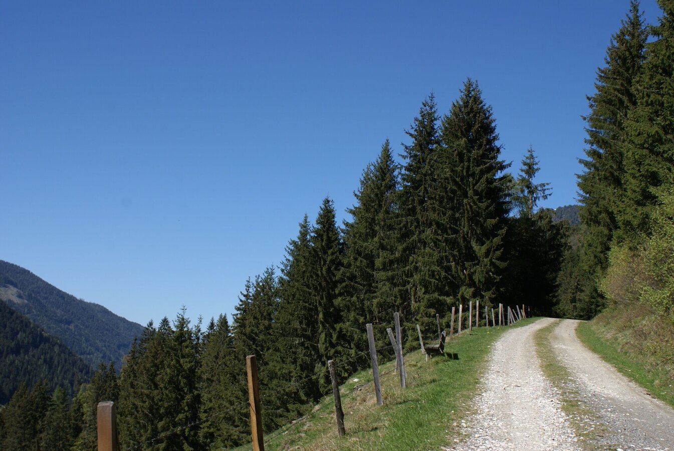
Along a well-maintained forest path, the trail climbs steadily through woodland to the end point of the hike - the "Spinnstoa". Along the hike, benches invite you to rest again and again. The hiking trail is also marked "Weg 5".
The tour
easy
Starting point
Bus station village center
Destination
Spinnstoa
Tour characteristics
Distance: 10.2 km
Fitness (2/6)
Skills (2/6)
Information
Distance: 10.2 km
Duration:
3:30 h
Ascent: 480 m
Descent: 480 m
highest point: 1435 m
Best season
Jan
Feb
Mar
Apr
May
Jun
Jul
Aug
Sep
Oct
Nov
Dec
Map, elevation profile & further information
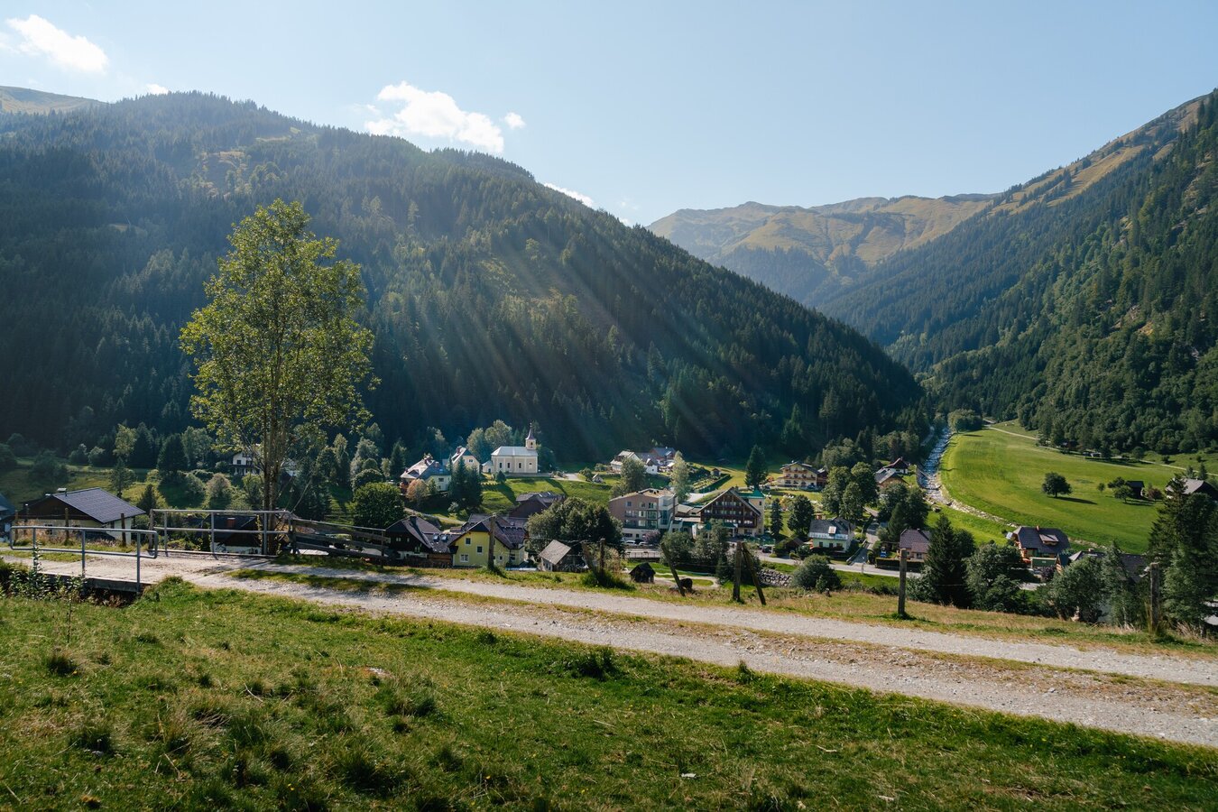
The hike starts at the bus stop in the centre of the village and leads up to the apartment house. Shortly before the apartment house, the path leads up to the left, across a short stretch of meadow and forest. At the fence/passage to the right and further uphill over a well-maintained forest path. After the eighth bend the trail ends at the so-called Spinnstoa. Return to the valley on the same path.
Coming from the B320, at the crossing Trautenfels in direction Irdning. Then in the direction of Donnersbach, Donnersbachwald.Free parking at the starting point.
Take the bus 941 to the bus stop "Donnersbachwald Ort". There you will also find the starting point of the hike.
Bus timetable: www.verbundlinie.at
Bus timetable: www.verbundlinie.at
Attention: no bus connection to Donnersbachwald during the summer holidays!
The closest train station "Stainach-Irdning" is about 22 kilometers away in Stainach.
Train timetable: www.oebb.at
Good shoes, clothes and a backpack for a small snack.
- Plan your trip in advance, taking into account walking time, distance, elevation gain, hazards, and weather reports.
- Let others know where you are going and when you want to be back.
- Turn back in good time if the weather deteriorates. If you are caught in a thunderstorm, stay away from free-standing trees and wait out the storm, crouching if possible.
- Stay on marked trails and remember to close pasture fences.
- If you are a dog owner: Clarify before the hike if you need to cross a pasture. Keep your dog on a leash and make sure it stays calm. If a cow attacks, let the dog off the leash immediately. Never pick him up to defend him.
Take drinks and a small snack for one or the other rest along the way.
Tourism information: www.schladming-dachstein.at
Tourist Office Schladming-Dachstein
Ramsauerstrasse 756
8970 Schladming
T: +43 3687 23310
info@schladming-dachstein.at
- SCHLADMING-DACHSTEIN Hinking EAST. Available free of charge at tourist offices and accommodation facilities.
- SCHLADMING-DACHSTEIN Hiking map 1:50.000


