contact
contact
ForYou Club
4 / 4 Facilities
12 / 14 Slopes
0 °C
Webcam
Grimming-Donnersbachtal

Around the Tausing

Tour description

A trail for real professionals. From the parking lot Schönmoos (Wörschachberg) it goes with some climbs on the east side of the Wörschacher local mountain the Hochtausing past. From the Langpoltenalm over the "Klamml" in the direction of the Schneehitzalm lead easy climbs. There you can enjoy a wonderful view of the Bärenfeuchtenalm and the Grimming.

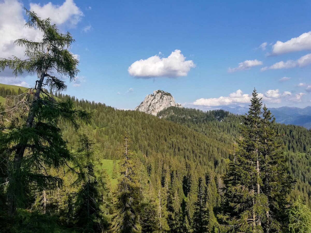
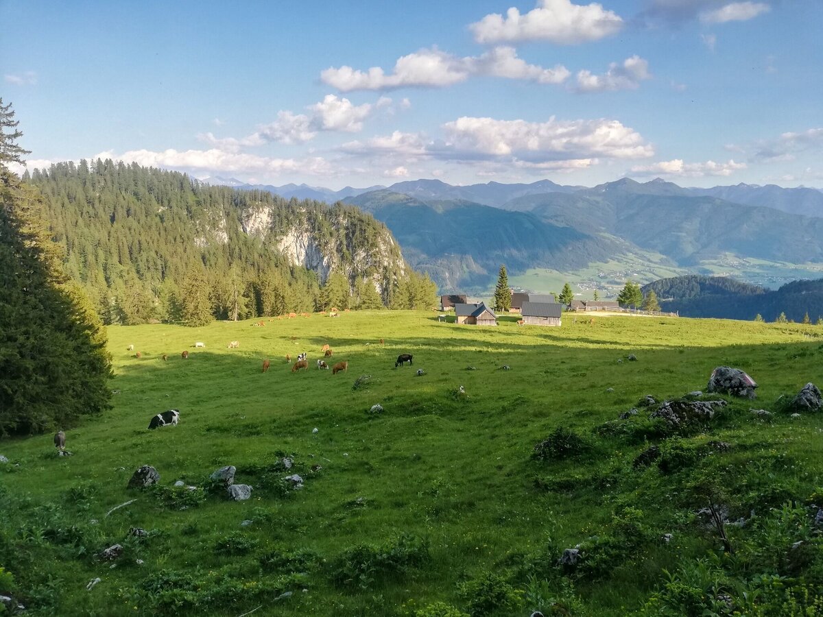
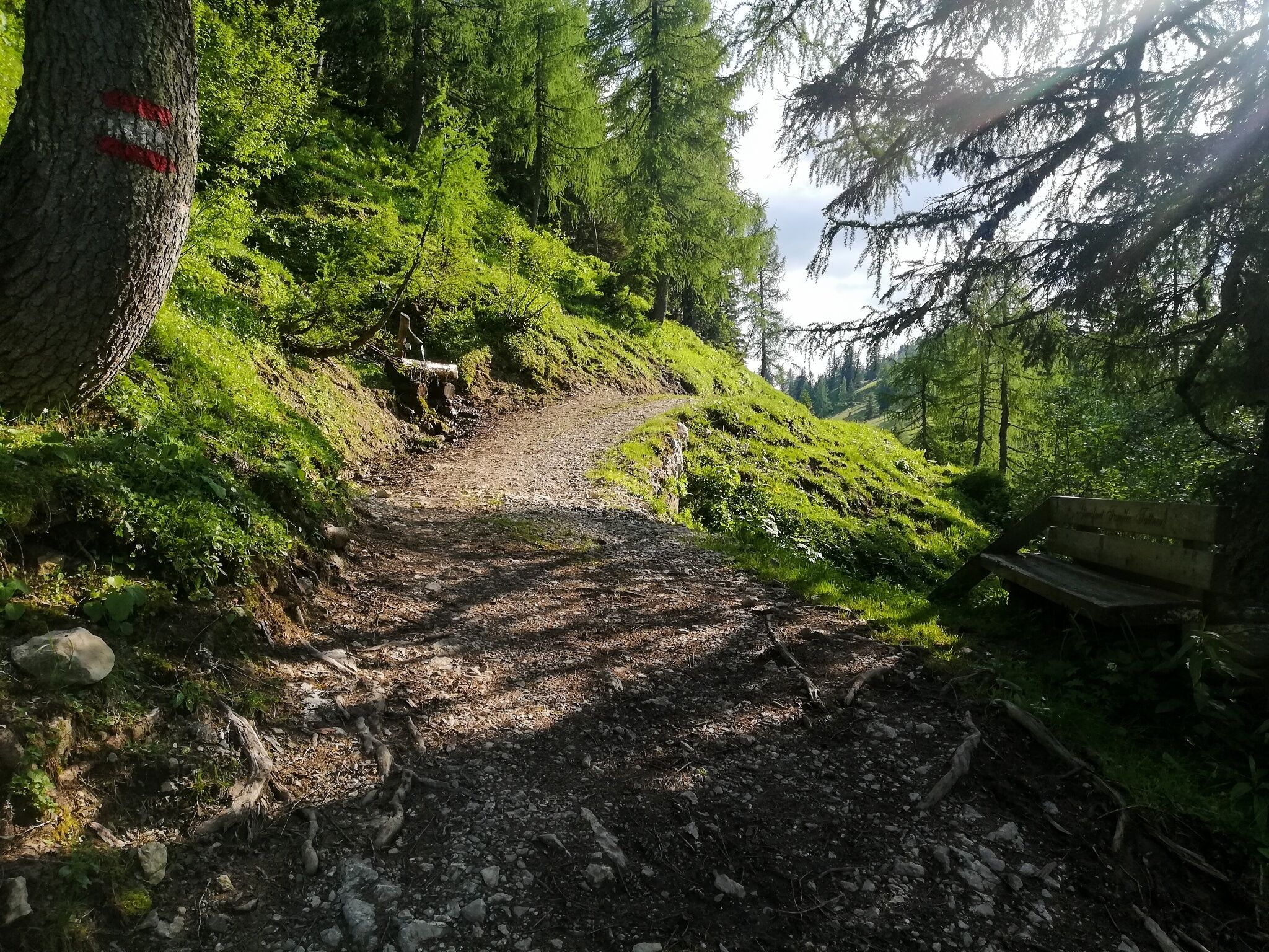
Heading south, it's downhill over forest paths on the west side of the Tausing to the kitschy beautiful Bärenfeichtenalm. Alternating between forest and forest paths, we reach the exit of the gorge and walk along the Klammsteig towards the Wolkenstein castle ruins. The last ascent goes left path over an old path towards Vorberger and finally about one kilometer over the asphalt road past the Oberkogleralm (refreshment tip) and the forest road to the starting point at the parking lot Schönmoos.


The tour

moderate
Starting and end point Parkingplace Schönmoos
Tour characteristics
Fitness (4/6)
Skills (3/6)
Information
Distance: 16.16 km
Duration: 3 h 30 min
Ascent: 926 m
Descent: 926 m
highest point: 1617 m
Best season
Jan
Feb
Mar
Apr
May
Jun
Jul
Aug
Sep
Oct
Nov
Dec

Map, elevation profile & further information

Trail number: 3
From the B320 from both directions turn to Wörschach and drive up the Wörschachberg. Pass the Berghof and the Oberkogler Alm until you reach the Schönmoos parking lot.Parkingplace Schönmoos-On busy days the parking lot can be full very early.
Arrival by public transport is only possible as far as Wörschach Ort. Unfortunately there is no bus service up to the Wörschachberg.

www.verbundlinie.at

www.oebb.at

  • Plan your trail in advanceInform yourself about the course of the trail and its demands
  • Pay attention to weather forecasts and weather changes
  • Let others know where you are going
  • Adapt your equipment to the weather and the trail
  • Be aware of livestock when crossing pastures
  • Trail running shoes - no asphalt running shoes
  • Running backpack or vest depending on the length of the tour hydration bladder or softflasks
  • thin windbreaker
  • first aid kit, including emergency blanket
  • cell phone
  • energy bar
  • money
  • change of shirt
  • Headband
  • Sunglasses
Tourism information: www.schladming-dachstein.at

Tourism blog: www.derbergdastal.at

 www.schladming-dachstein.at/de/Sommer/Wandern-und-Bergsport/Laufen-und-Trailrunning

Tourist Office Schladming-Dachstein

Ramsauerstrasse 756

8970 Schladming

T: +43 3687 23310

info@schladming-dachstein.at

Garbage on meadows and paths can not smell mountain and valley. Please take it with you. Agriculture and forestry are important partners for Berg und Tal. They allow you to walk and drive on many of their paths. Be aware that only good cooperation will guarantee your recreational enjoyment in the future.

  •  Trailrunning map Schladming-Dachstein: available free of charge at all info locations

Wheather predicition

today
20.02.2026
Mountain -5 °C
Valley 2 °C
Snow
Mountain
6 cm
Valley
4 cm
Wind speed
Nordwest
25 km / h
Precipitation
Probability
90 %
Amount
5.1 l/m²
Sun
Sun hours
0.5 h
Sunrise
07:01 o clock
Sunset
17:35 o clock

Snowfall will persist into the afternoon, then the clouds will break up towards evening.

tomorrow
21.02.2026
Mountain -1 °C
Valley 6 °C
Snow
Mountain
13 cm
Valley
1 cm
Wind speed
Nordwest
20 km / h
Precipitation
Probability
90 %
Amount
18.5 l/m²
Sun
Sun hours
0 h
Sunrise
06:59 o clock
Sunset
17:36 o clock

Dull throughout the day. Snowfall will increase more and more.

day after tomorrow
22.02.2026
Mountain 4 °C
Valley 10 °C
Snow
Mountain
3 cm
Valley
0 cm
Wind speed
Nordwest
20 km / h
Precipitation
Probability
70 %
Amount
5.8 l/m²
Sun
Sun hours
0.2 h
Sunrise
06:57 o clock
Sunset
17:38 o clock

Frequent snowfall. A slight chance of sunshine in the afternoon.

Tours nearby