


Grimming-Donnersbachtal
Kulmrunde No. 12
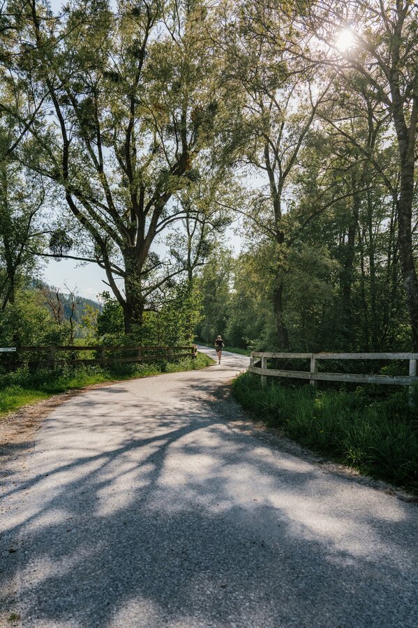
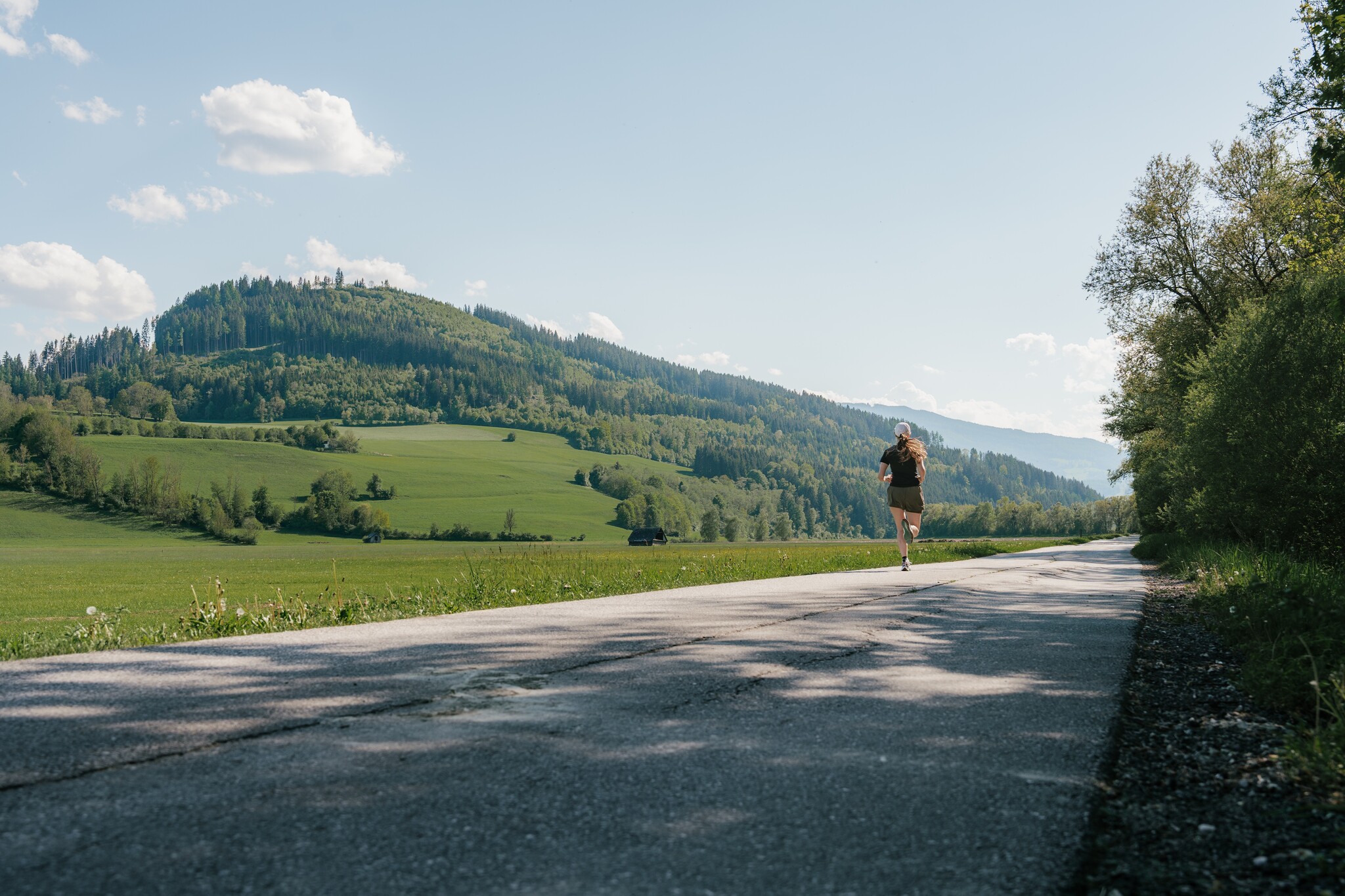
Trailrunning
Data:

copyright: Christoph Lukas
copyright: Christoph Lukas
copyright: Christoph Lukas
Tour description
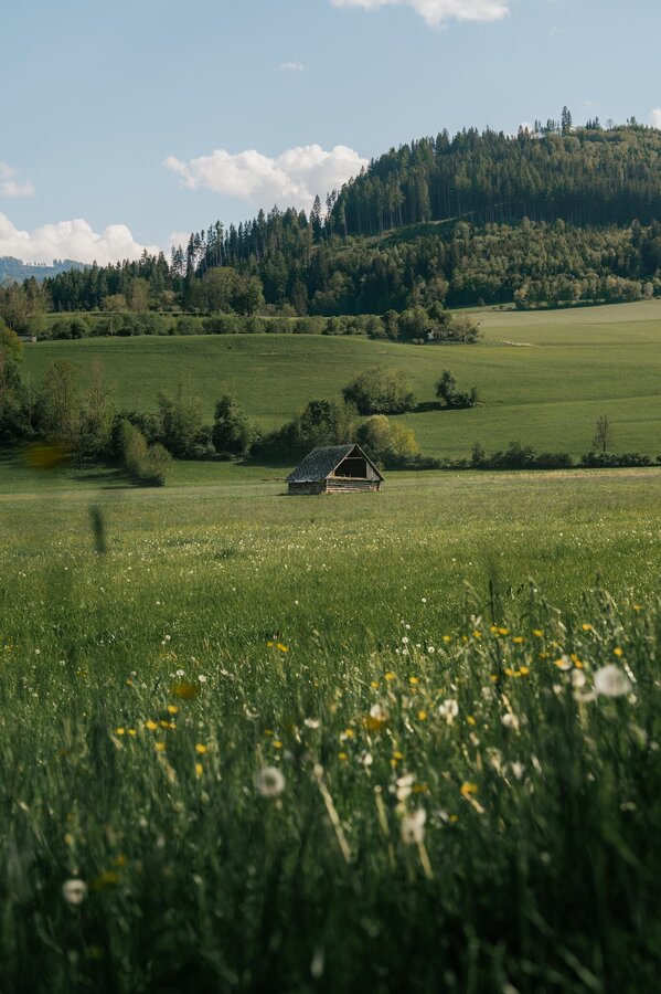
This varied route around the Kulm, also known as the Sallaberg, is recommended as a “speed pole” with gentle climbs and longer flat sections. Culture on the trail: Hohenberg is home to one of the oldest churches in the Enns Valley. Definitely worth a stop.
The tour
easy
publicly accessible
Starting and end point
Parking lot tennis court Aigen im Ennstal
Tour characteristics
Distance: 8.8 km
Fitness (2/6)
Skills (2/6)
Information
Distance: 8.8 km
Duration:
1:30 h
Ascent: 105 m
Descent: 105 m
highest point: 702 m
Best season
Jan
Feb
Mar
Apr
May
Jun
Jul
Aug
Sep
Oct
Nov
Dec
Map, elevation profile & further information
Trail number 12
Ideal starting points and entry points: Schwarzer Weg, Sallaberg bridge, Windsack Bundesheer, campsite, Schlattham Fitness requirements: The length of the route and the slight inclines require runners to be in average to good physical condition. Not a route for beginners.
Ideal starting points and entry points: Schwarzer Weg, Sallaberg bridge, Windsack Bundesheer, campsite, Schlattham Fitness requirements: The length of the route and the slight inclines require runners to be in average to good physical condition. Not a route for beginners.
- Coming from Liezen, turn left in Wörschach and follow the signs for Aigen/Ennstal. In Aigen, drive through the village and turn left just before the end of the village and park your vehicle in the large gravel parking lot
- Coming from Schladming, follow the signs for Irdning/Aigen at the Trautenfels junction. Drive through Irdning and via Schlattham and past the Putterersee lake, turn right shortly after the Aigen town sign and park your vehicle in the large gravel parking lot.
Take the train to Stainach-Irdning or Liezen. From there you can reach Aigen im Ennstal every hour on the 940 bus route.
Timetable information under: www.oebb.at /en
Timetable information under: www.oebb.at /en
Make it a duathlon and go for a swim in the lake"Putterersee"
Tourism information: www.schladming-dachstein.at/en
Schladming-Dachstein Tourist Office
Ramsauerstraße 756
8970 Schladming
T: +43 3687 23310
info@schladming-dachstein.at
The mountains and valley can't smell garbage on meadows and paths. Please take it with you. Agriculture and forestry are important partners for the mountains and valley. They allow you to walk and drive on many of their paths. Be aware that only good cooperation will guarantee your leisure enjoyment in the future.
Schladming-Dachstein trail running map: available free of charge at all information points


