contact
contact
ForYou Club
4 / 4 Facilities
12 / 14 Slopes
0 °C
Webcam
Grimming-Donnersbachtal

Winter hike Fürstensteig

Tour description

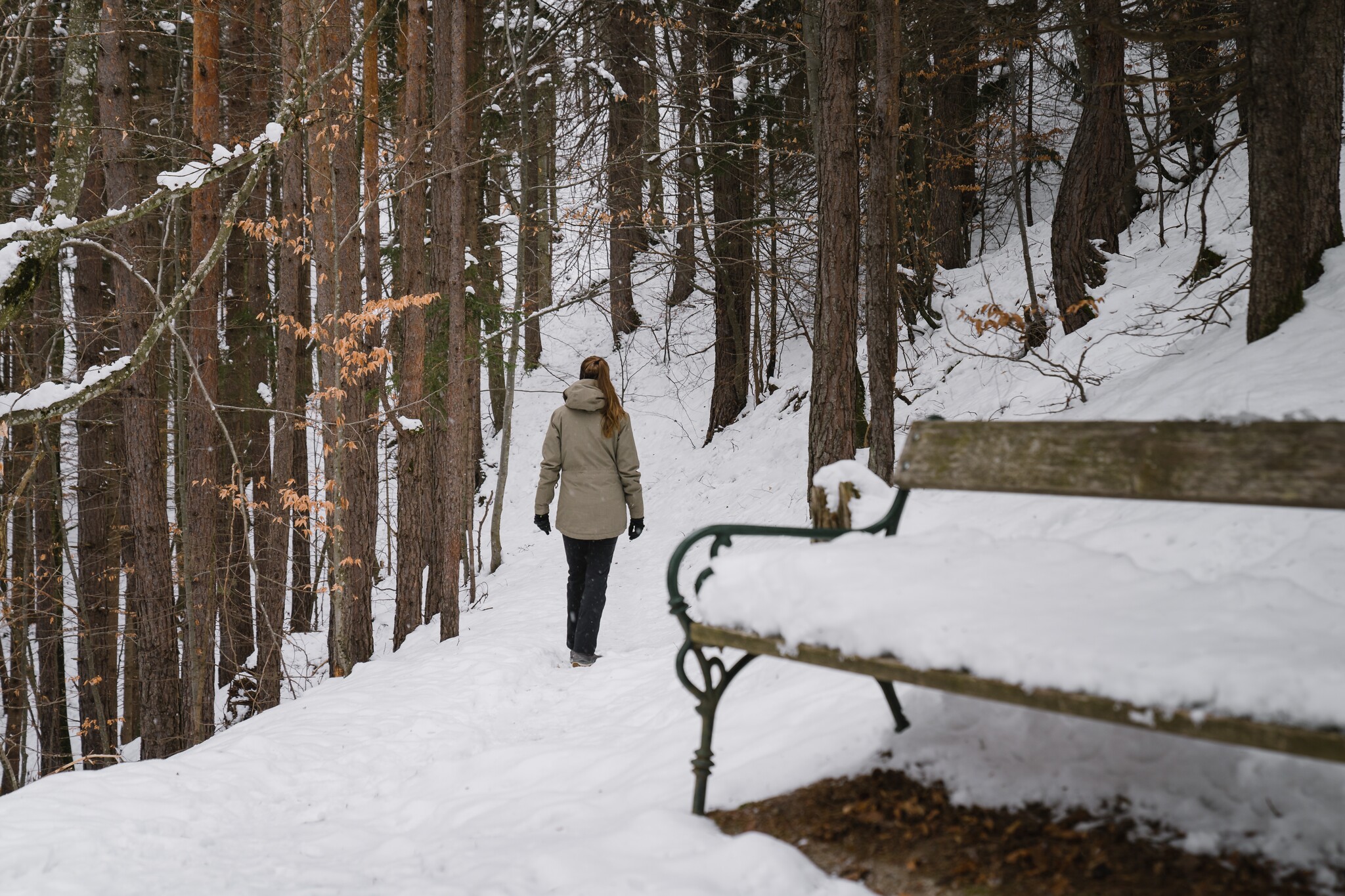
Between Wörschach and Niederhofen you will discover this fine trail through the forest along rock walls and a nice brook, which is fortunately not only reserved for blue bloods. In Niederhofen you will return near the Friedstein Castle. Here you have the choice how to start the way back. The same way back through the forest or the somewhat easier, flatter way along the accompanying road to the main road - just as you like or your feet still want.

The Natur.Kraft.Plätze are located along this hike. ‘Wasserquelle’ in front of the municipal office, “Felsenwasserplatz” and “Kalvarienberg” near Friedstein Castle. You can find more information at www.schladming-dachstein.at/naturkraftplaetze

The tour

moderate
publicly accessible
Starting point Community Office Wörschach
Destination At the starting point
Tour characteristics
Fitness (2/6)
Skills (3/6)
Information
Distance: 5.6 km
Duration: 2 h
Ascent: 250 m
Descent: 250 m
highest point: 761 m
Best season
Jan
Feb
Mar
Apr
May
Jun
Jul
Aug
Sep
Oct
Nov
Dec

Map, elevation profile & further information

At the beginning, continue along the road up to Gasthaus Weitgasser, turn left here and you are already on the Fürstensteig trail, which continues along forest paths to Niederhofen. There you have the choice of returning the same way or taking the accompanying path along the main road.
The Fürstensteig can also be hiked from Stainach. Please allow an extra 0:45 h and 3.0 km for this.
Coming from Schladming or Liezen, turn off the B320 in Wörschach, drive through the village in the direction of the town center until you reach the municipal office.A free parking lot is located directly at the municipal office.
Take the 940 bus to the "Wörschach Ort" stop. Nearby is also the starting point of the hike.Bus schedule: www.verbundlinie.at

The nearest train station is in the village, but only regional trains stop here.Train timetable: www.oebb.at

  • Stay on the marked paths.
  • If you are a dog owner: keep your dog on a lead and make sure that it behaves calmly.
  • Winter mountain boots or sturdy shoes with a good tread
  • Clothing appropriate to the weather forecast.
  • A rucksack with snacks so that you can enjoy nature during a break.


At the end of the hike a stop for coffee and the finest cake at Gasthaus Weitgasser.SCHLADMING-DACHSTEIN Winter Adventure Map East

Wheather predicition

today
20.02.2026
Mountain -5 °C
Valley 2 °C
Snow
Mountain
6 cm
Valley
4 cm
Wind speed
Nordwest
25 km / h
Precipitation
Probability
90 %
Amount
5.1 l/m²
Sun
Sun hours
0.5 h
Sunrise
07:01 o clock
Sunset
17:35 o clock

Snowfall will persist into the afternoon, then the clouds will break up towards evening.

tomorrow
21.02.2026
Mountain -1 °C
Valley 6 °C
Snow
Mountain
13 cm
Valley
1 cm
Wind speed
Nordwest
20 km / h
Precipitation
Probability
90 %
Amount
18.5 l/m²
Sun
Sun hours
0 h
Sunrise
06:59 o clock
Sunset
17:36 o clock

Dull throughout the day. Snowfall will increase more and more.

day after tomorrow
22.02.2026
Mountain 4 °C
Valley 10 °C
Snow
Mountain
3 cm
Valley
0 cm
Wind speed
Nordwest
20 km / h
Precipitation
Probability
70 %
Amount
5.8 l/m²
Sun
Sun hours
0.2 h
Sunrise
06:57 o clock
Sunset
17:38 o clock

Frequent snowfall. A slight chance of sunshine in the afternoon.

Tours nearby