


Gröbminger Land
St. Martin XC Trail
Ski-nordic-classic
Data:


Tour description
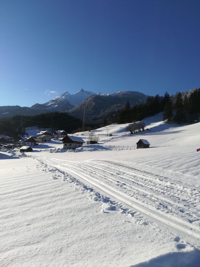
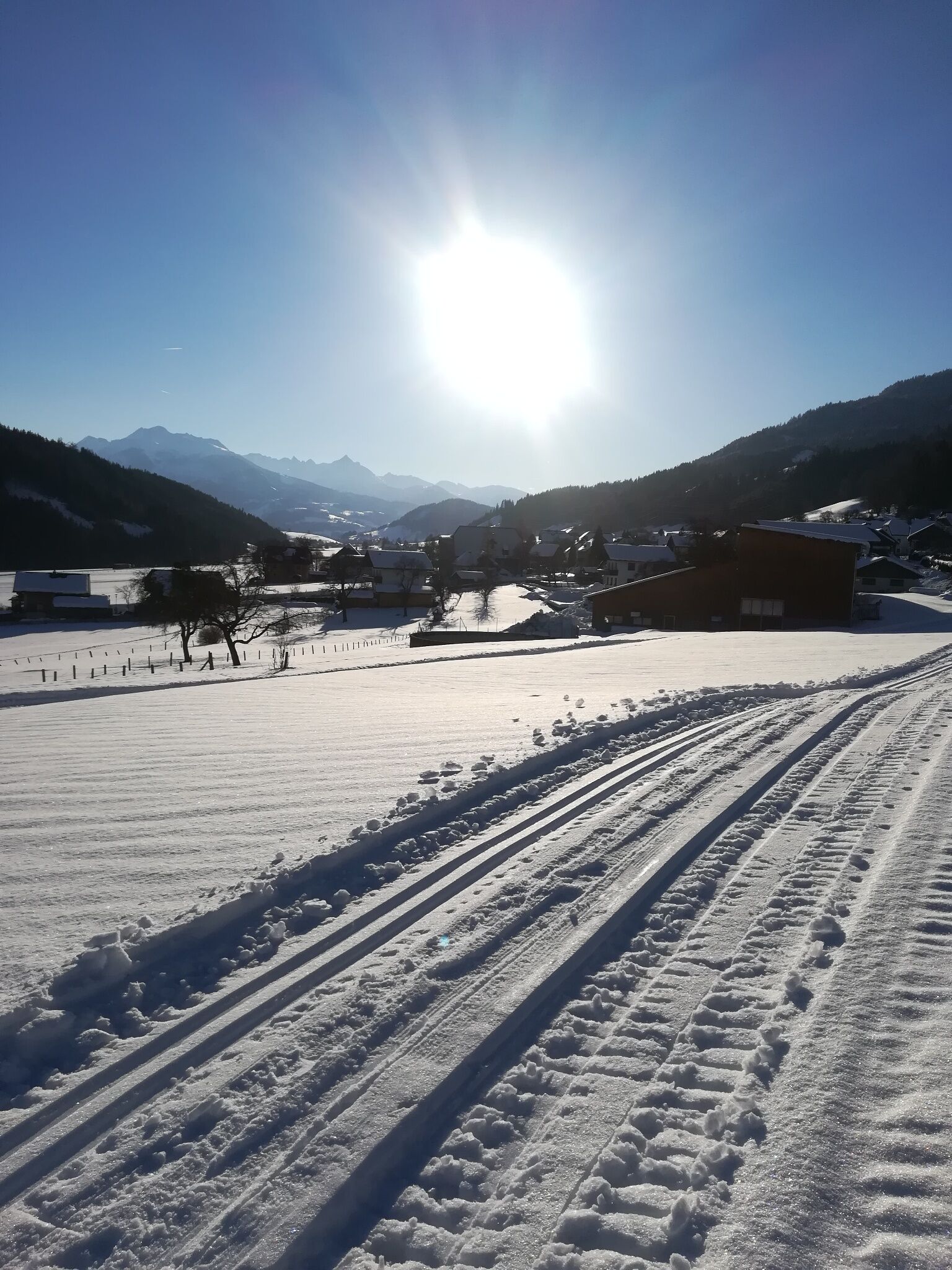
The sunny, perfectly groomed cross-country trail starts from St. Martin am Grimming via Lengdorf and back again!
The tour
closed
easy
Starting point
Fire station St, Martin am Grimming
Destination
Fire station St. Martin am Grimming
Tour characteristics
Distance: 7.3 km
Fitness (3/6)
Information
Distance: 7.3 km
Duration:
1:30 h
Ascent: 95 m
highest point: 735 m
Best season
Jan
Feb
Mar
Apr
May
Jun
Jul
Aug
Sep
Oct
Nov
Dec
Map, elevation profile & further information
St. Martin am Grimming - Salza - Krottendorf - Tischpern via Stöckl - Oberlengdorf and the same route back.


