


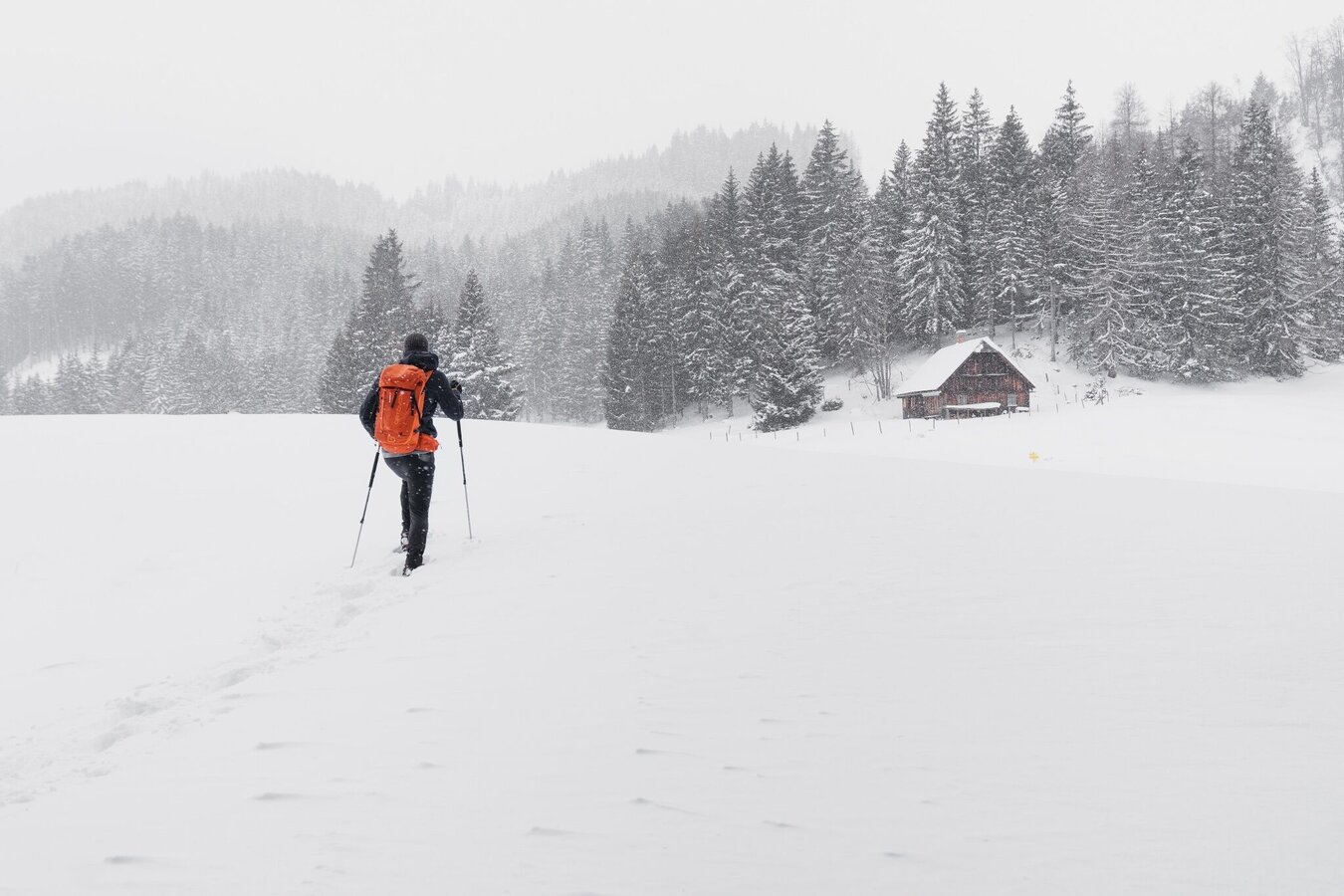
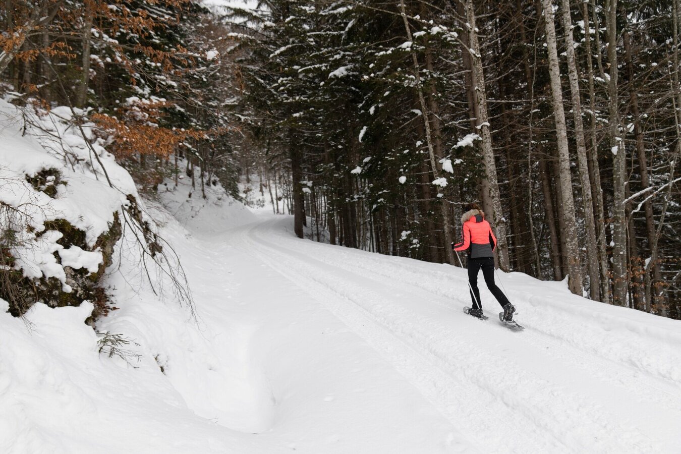
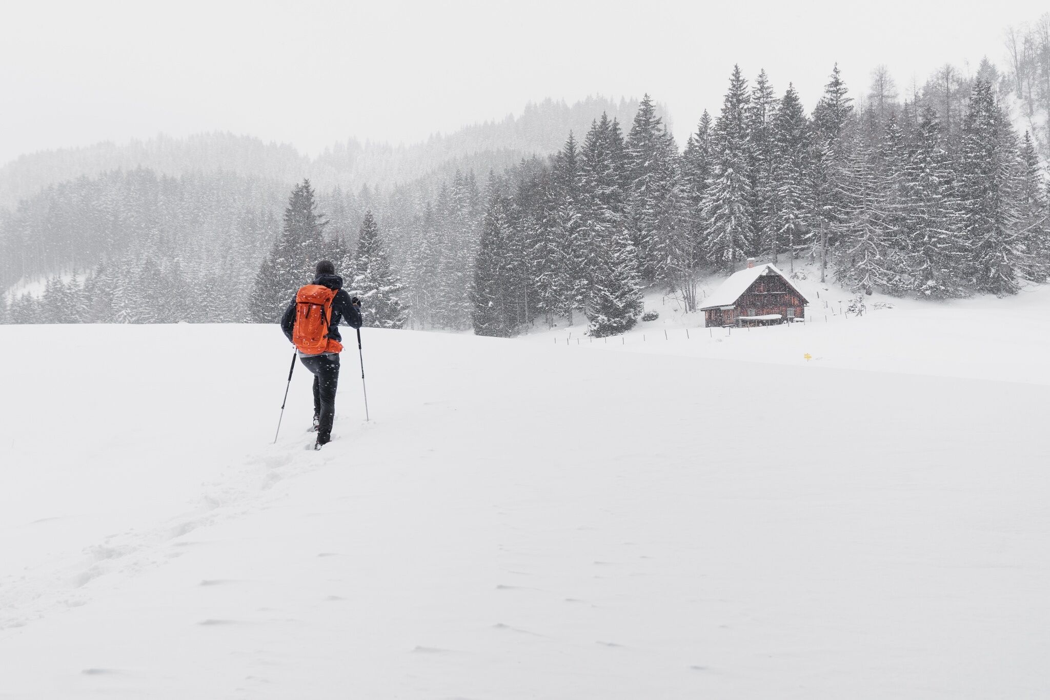
Snowshoe hiking tour Aicherlkar
Tour description
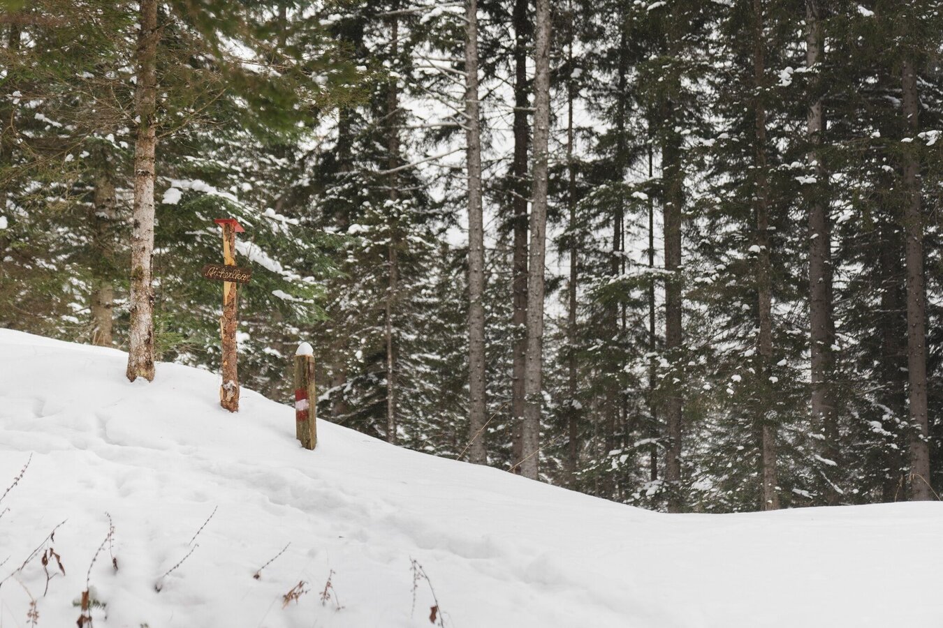
The tour
Map, elevation profile & further information
Bus schedule: www.verbundlinie.atThe nearest train station is in Wörschach (only regional trains stop here).
Train timetable: www.oebb.at
In addition to food and warm drinks, pack spare clothing and a first aid kit
- You should also pack maps and/or tour descriptions. GPX tracks on your mobile phone or GPS device will also help you
- Observe existing regulations: Hunting and game reserves, reforestation or young growth areas
- You should always have your mobile phone well charged and the emergency number 140 for mountain rescue saved? If you have no reception, take out the SIM card and dial 112.
- Hire snowshoes, poles and safety equipment from Scherz Schnäppchenshop and Sport Schöttl
Before every snowshoe hike, you should always check the latest avalanche report - available at www.lawine-steiermark.at. Mountain sports and assessing the situation on site are - even more so in winter - primarily your own responsibility. Tourism organisations or avalanche warning services do not accept any liability based on the information provided.
Tourist information: www.schladming-dachstein.at
Schladming-Dachstein Tourist Office
Ramsauerstraße 756
8970 Schladming
T: +43 3687 23310
info@schladming-dachstein.at
Rental possibilities:
Sport Scherz:
Planneralm, T +43 3683 8182
Riesneralm, T +43 3680 350
Bargain shop Scherz in Wörschach+43 3682 22383 sport-scherz.at
Sport Schöttl
Planneralm, T +43 3683 8107
Irdning, T +43 3682 22952 sport.schoettl.at
Schladming-Dachstein OST winter adventure map, available from the information offices in the region.


