


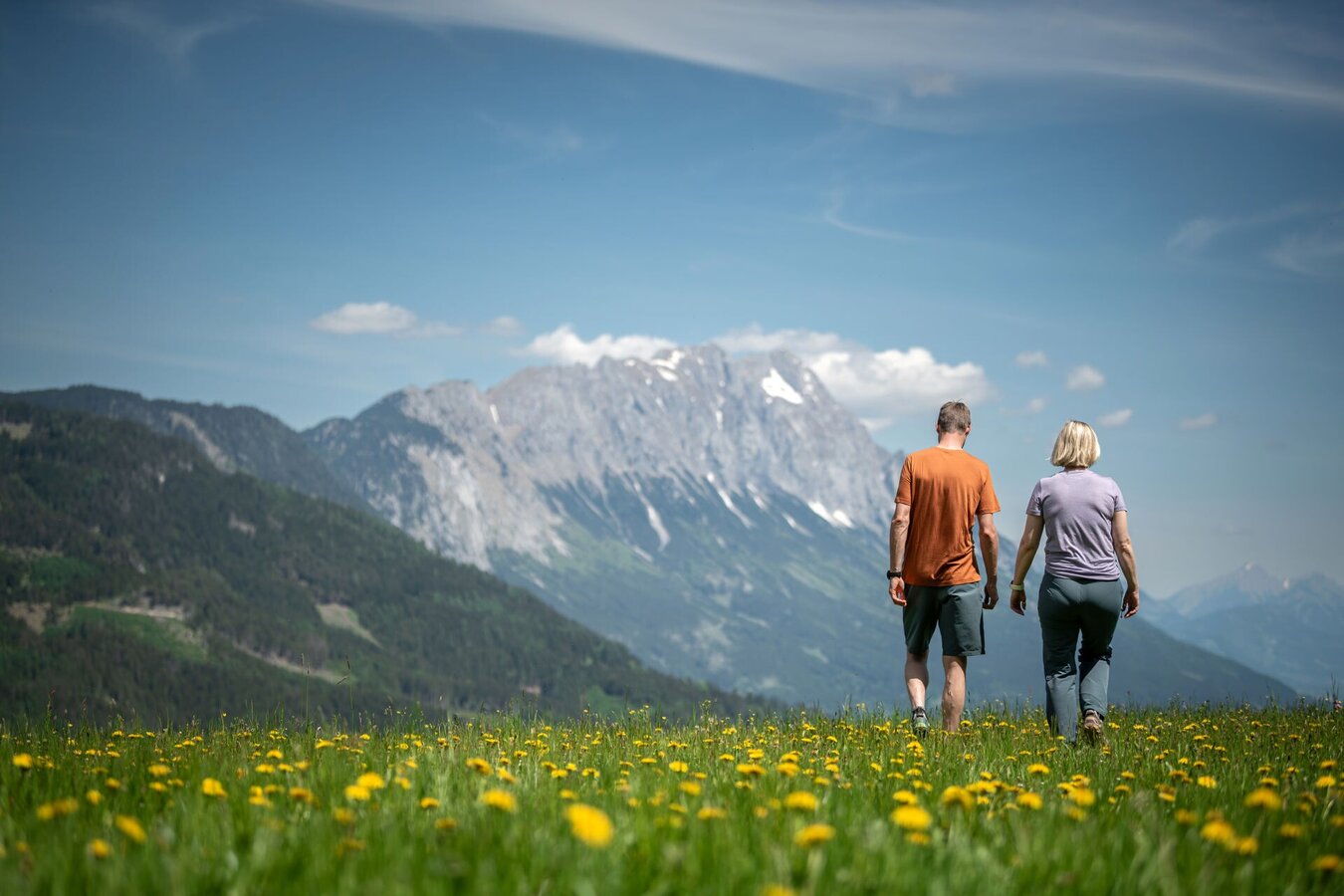
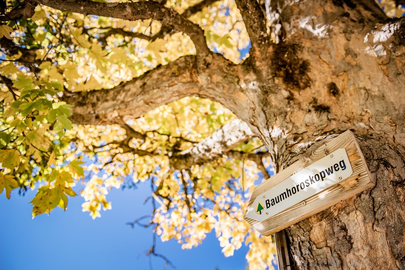
Nice Family Hike - on the Tree Horoscope Path, Gröbming

Tour description
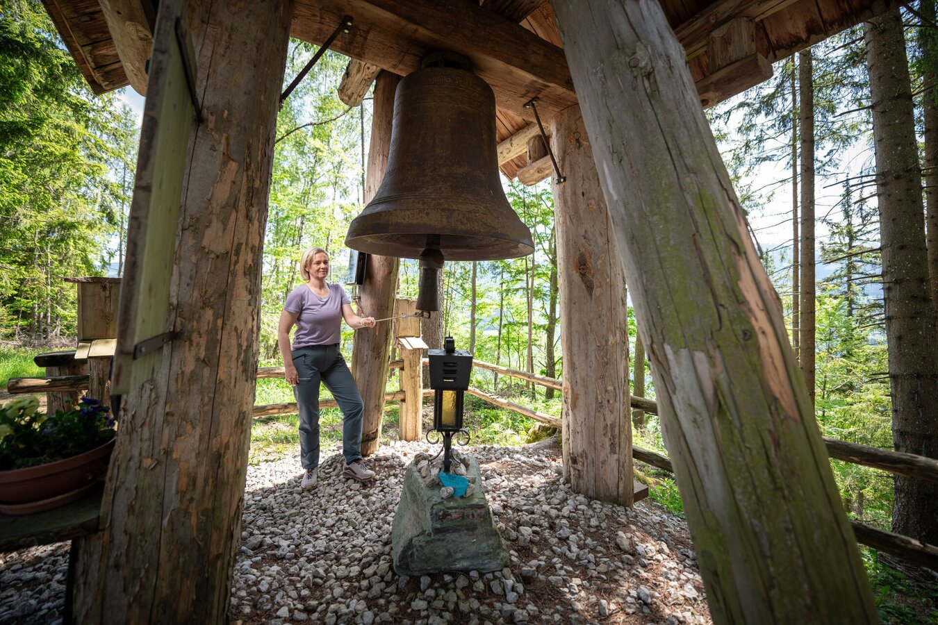
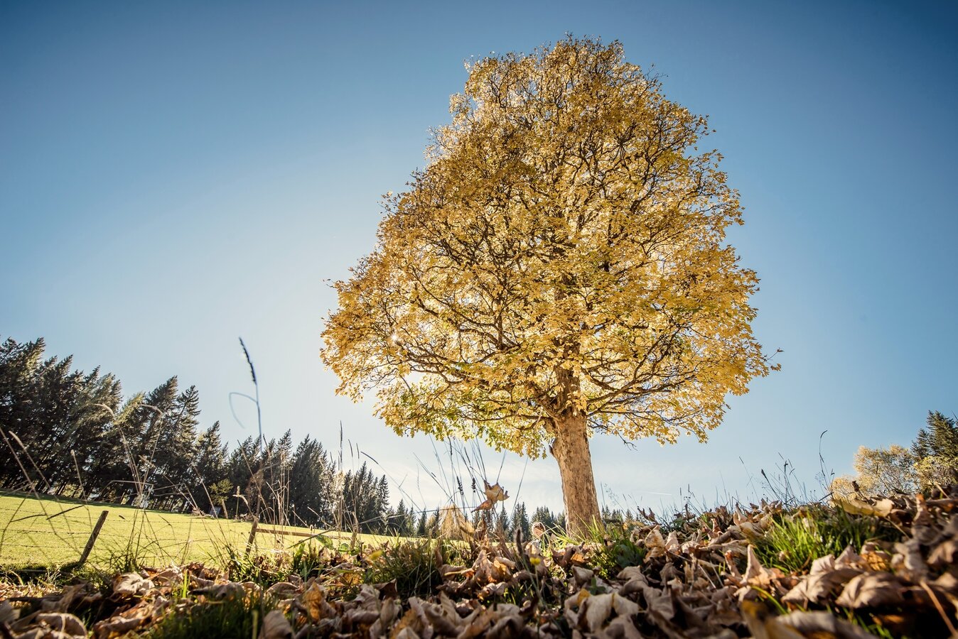
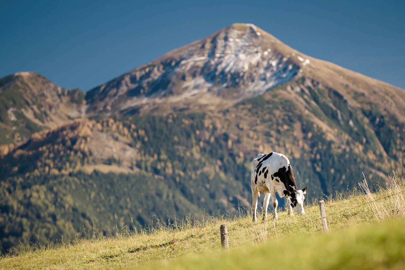
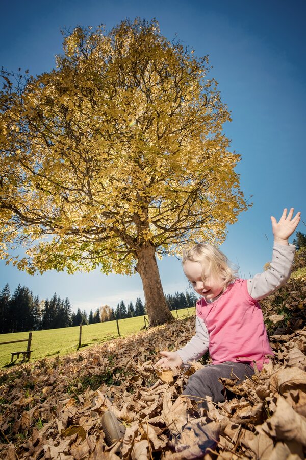
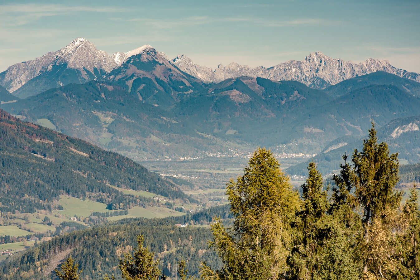
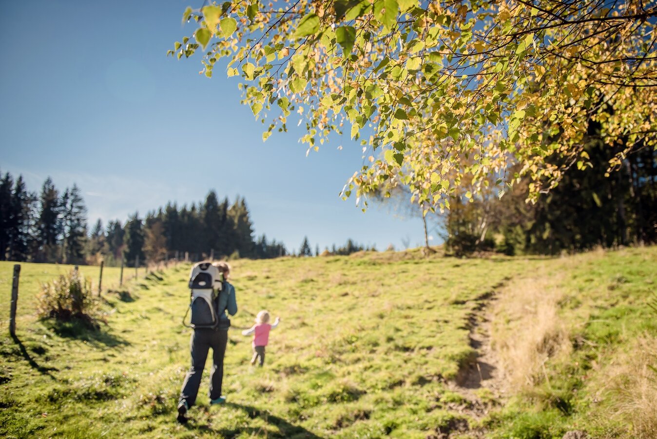
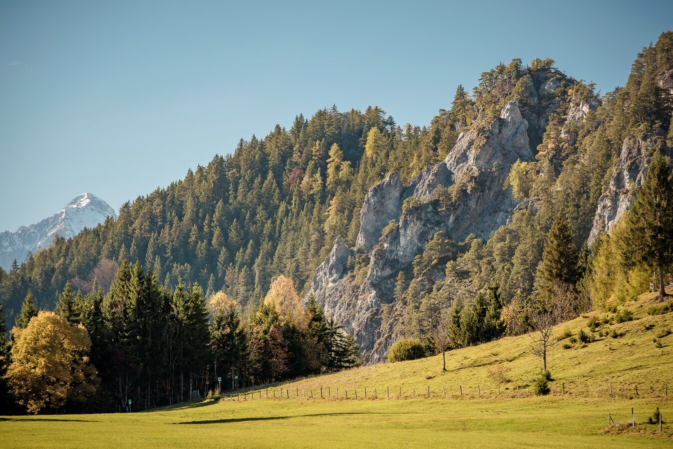
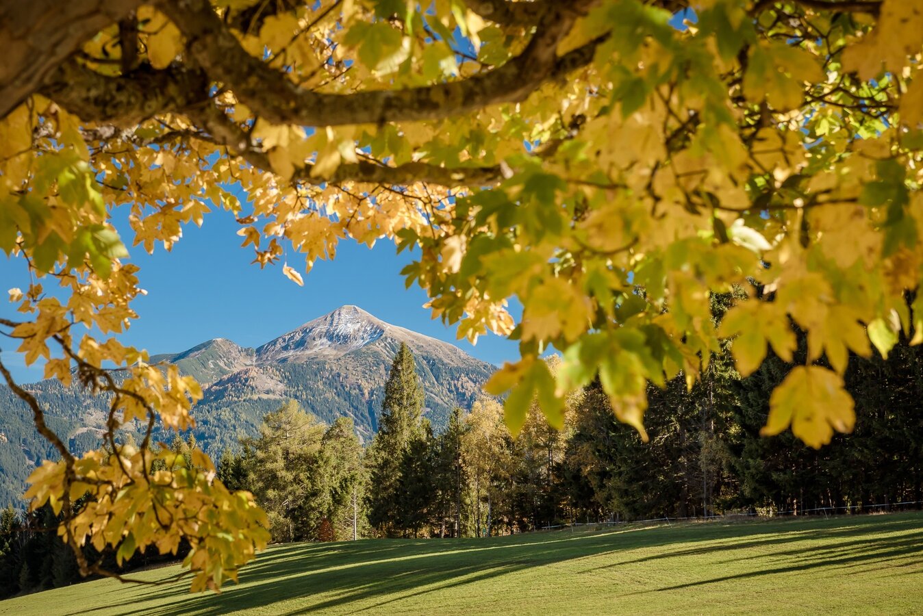
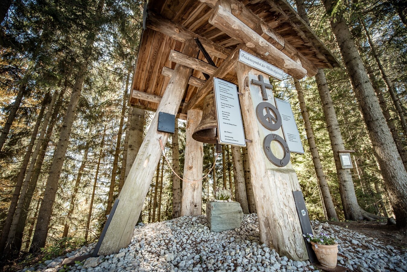
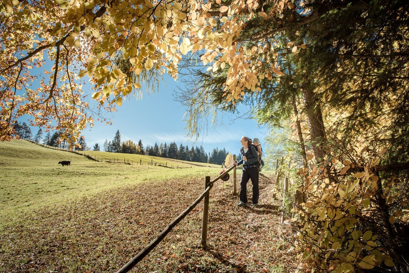
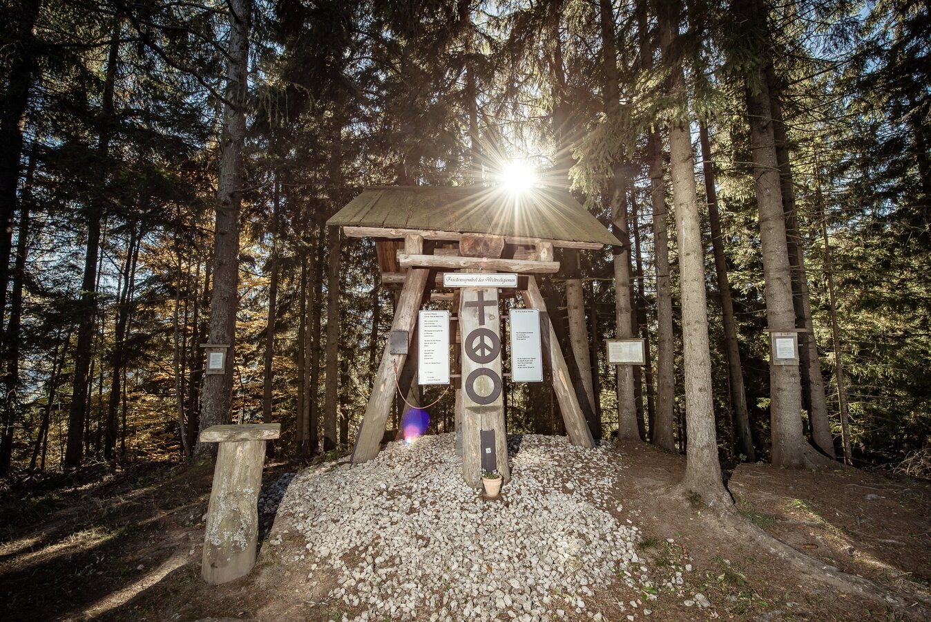
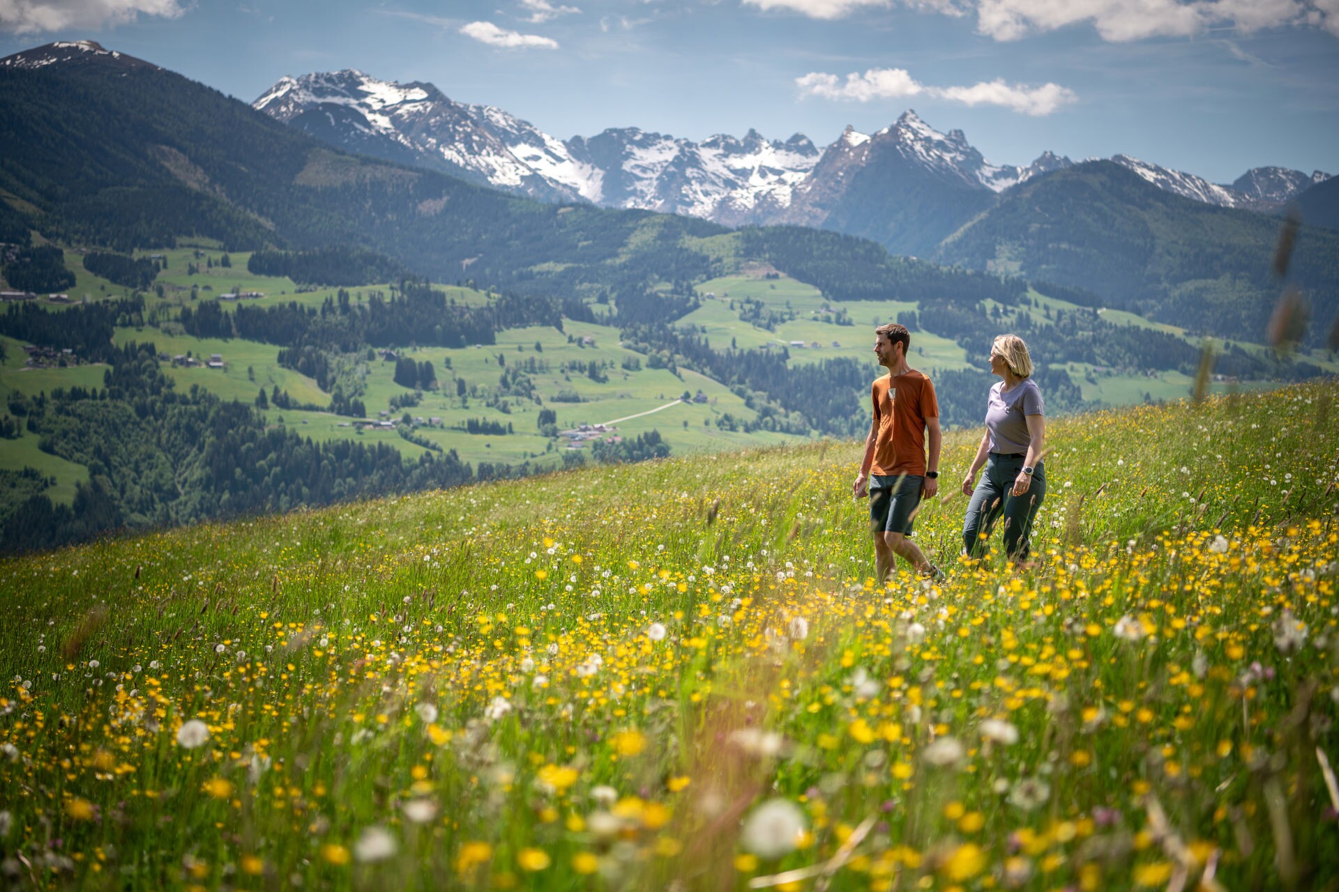
The tour
Map, elevation profile & further information
Startpunkt Kulm - Parkplatz unterm Bauernhof Ackerl
Von Gröbming mit dem PKW kommend die zweite Auffahrt rechts Richtung Kulm nehmen. Start ist beim Parkplatz unterm Bauernhof Ackerl. Kürzeste Variante: die Forststraße ein kurzes Stück steil hinauf durch den Wald und den Schildern folgen. Gesamtgehzeit: 1,5 Std.
Startpunkt Pruggern - Tourismusbüro
Von dort folgt man der Straße Richtung Kunagrünberg hinauf zum Klemmerhof. Hier beginnt ein Hohlweg, der bis zum Baumhoroskopweg führt. Gesamtgehzeit: 3 Std.
Startpunkt Gröbming - Landhaus St. Georg
Man folgt zuerst den Weg Nr. 3 Kulm - Freienstein. Bei der ersten Abzweigung rechts halten, um auf den Weg Nr. 12 abzuzweigen. Es geht in den Wald hinein bis man den Baumhoroskopweg erreicht hat. Gesamtgehzeit: 3,5 Std.
Startpunkt Abenteuerpark Gröbming
Die Stoderzinkenstraße in Richtung Assacher Scharte auf den Freienstein (Trittsicherheit und Schwindelfreiheit erforderlich) weiter Richtung Kulm. Gesamtgehzeit: 4 Std.
From Gröbming few hundred meters on B320 towards Schladming. Exit Kulm until the farmhouse Ackerl.
Parking area at the farmhouse Ackerl
No public arrival possible.


