contact
contact
ForYou Club
0 / 0 Facilities
0 / 0 Slopes
19 °C
Webcam
Gröbminger Land

Lengdorf Waldrunde (SM1)
Tour description

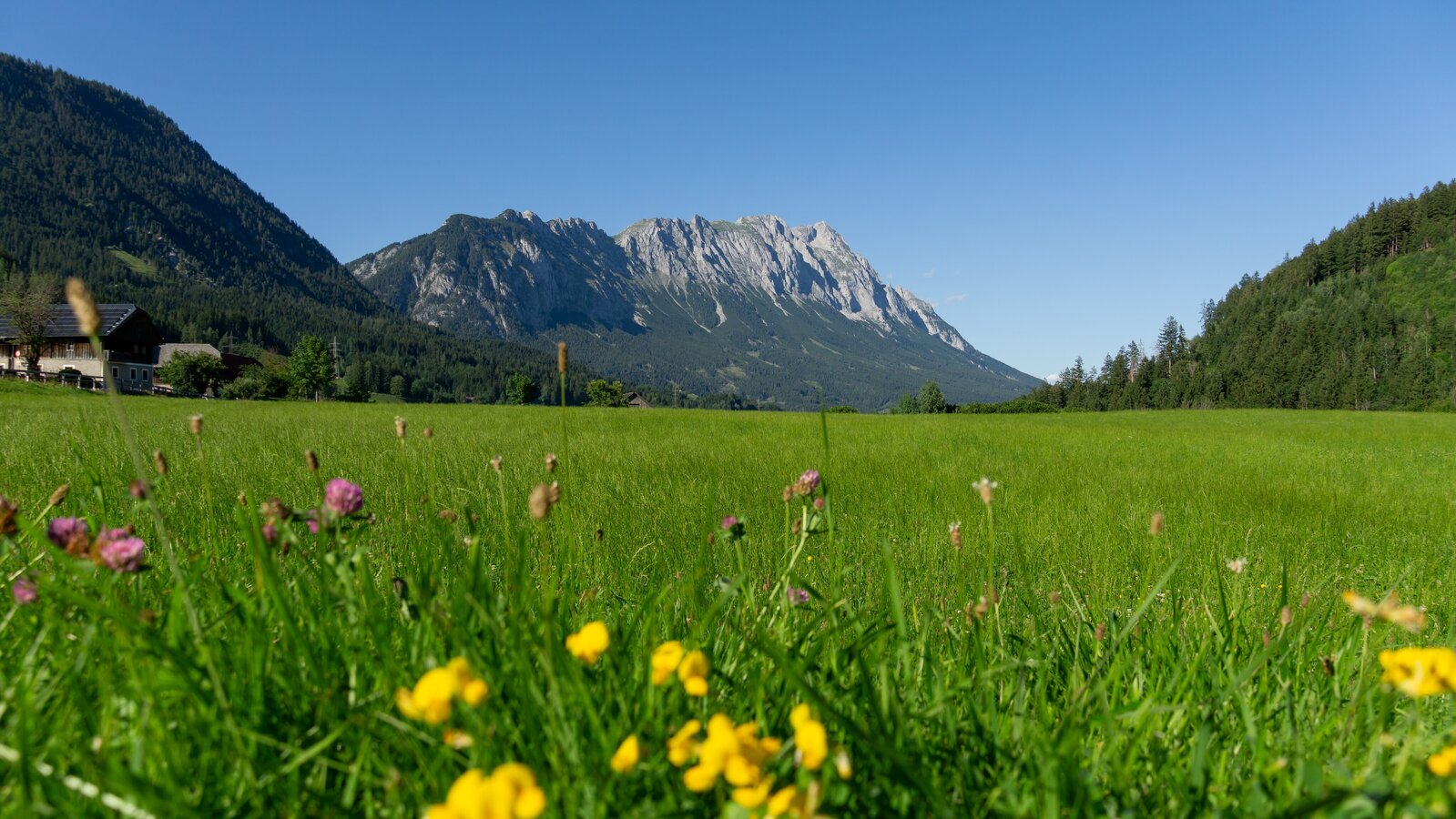
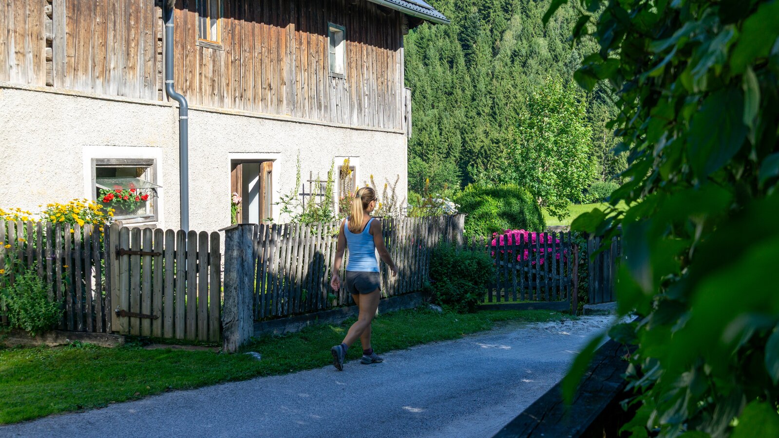
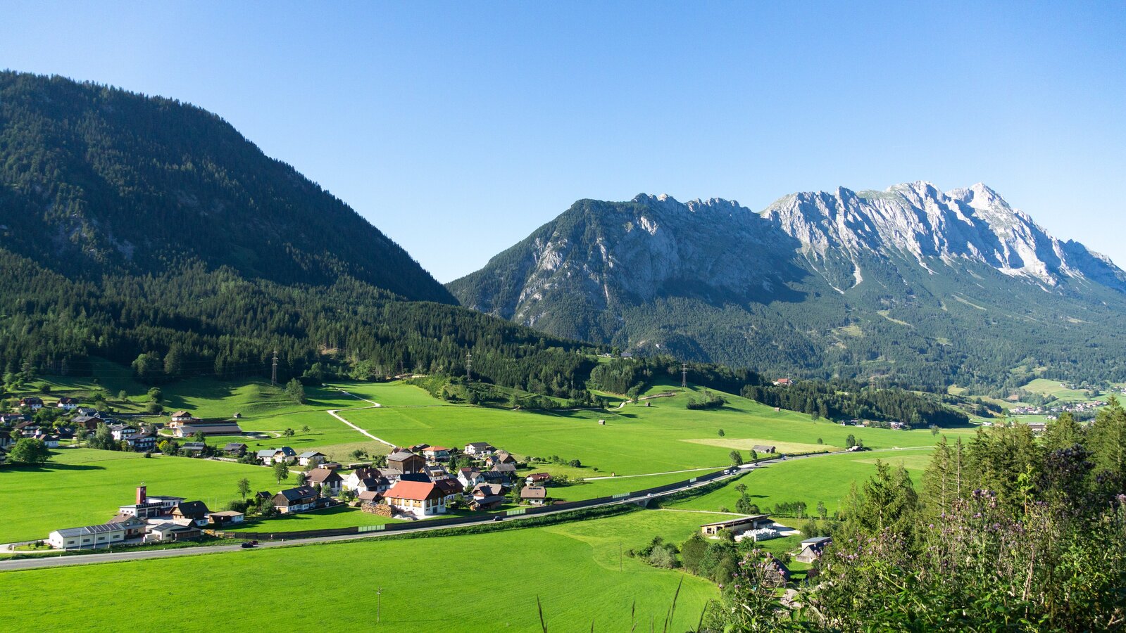
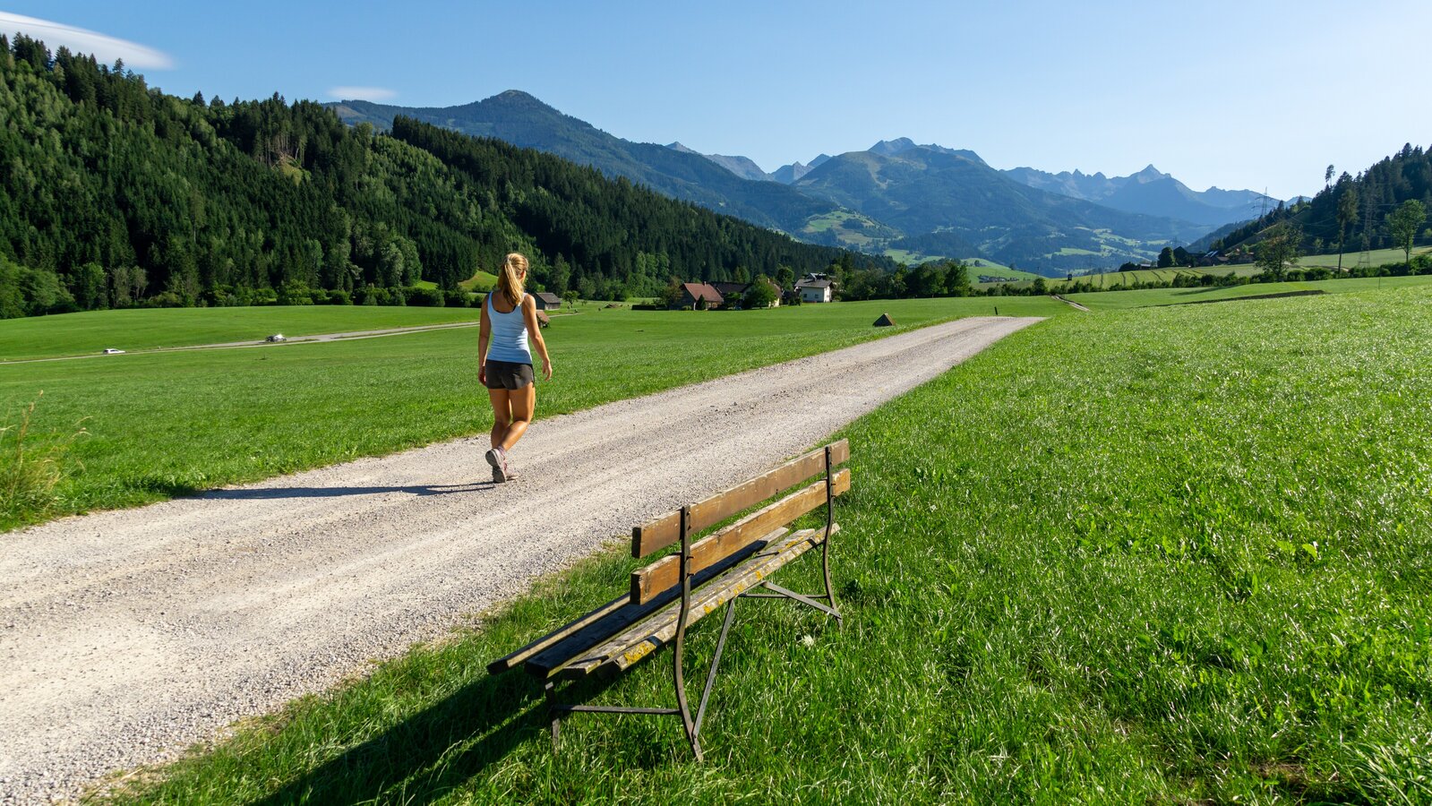
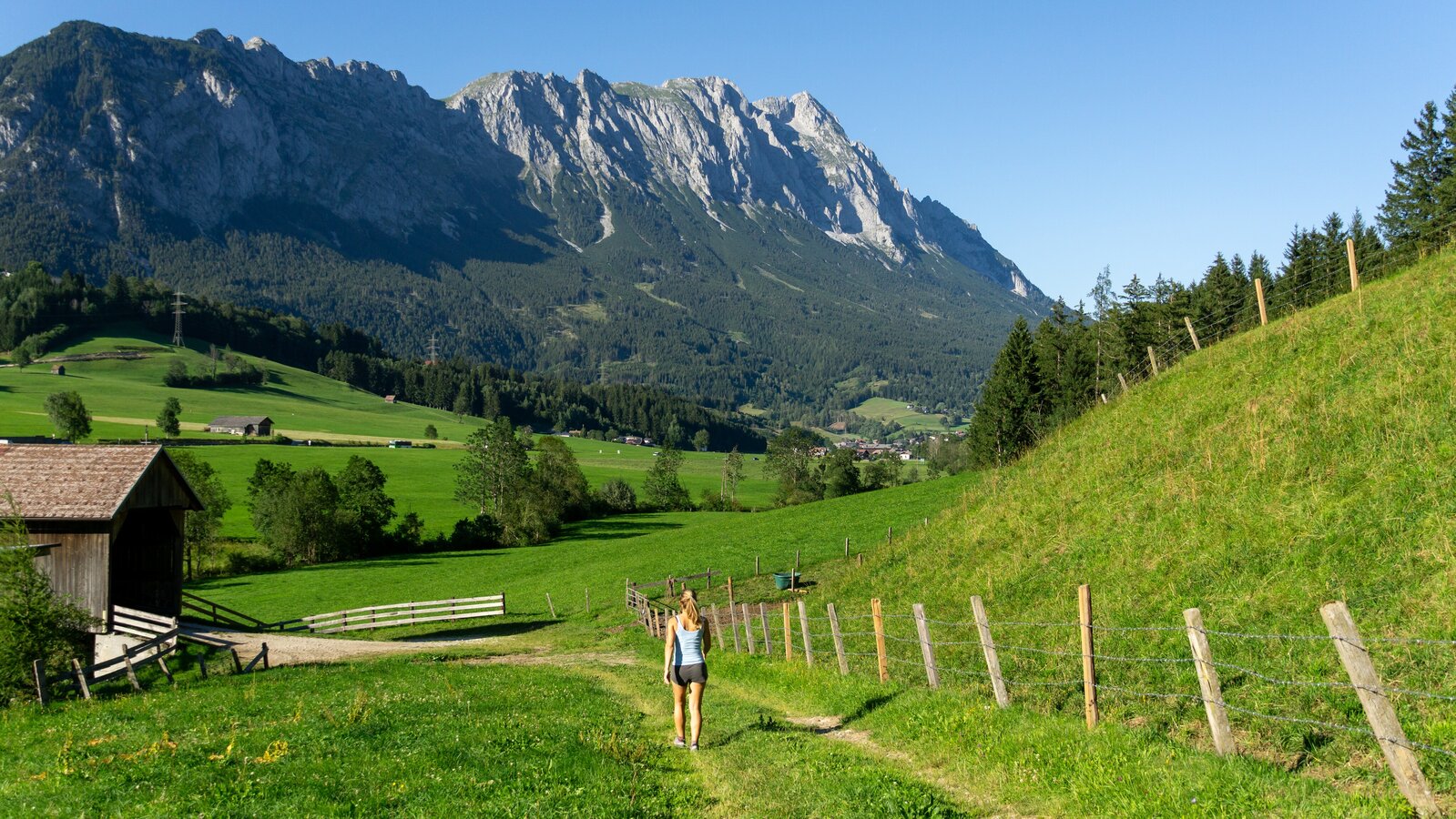
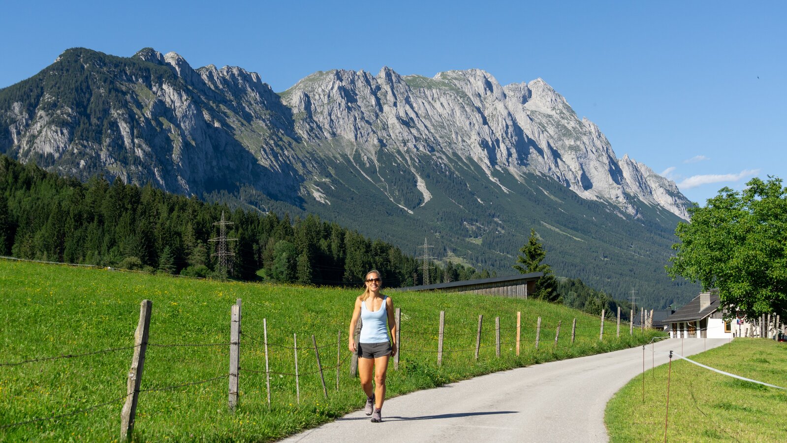
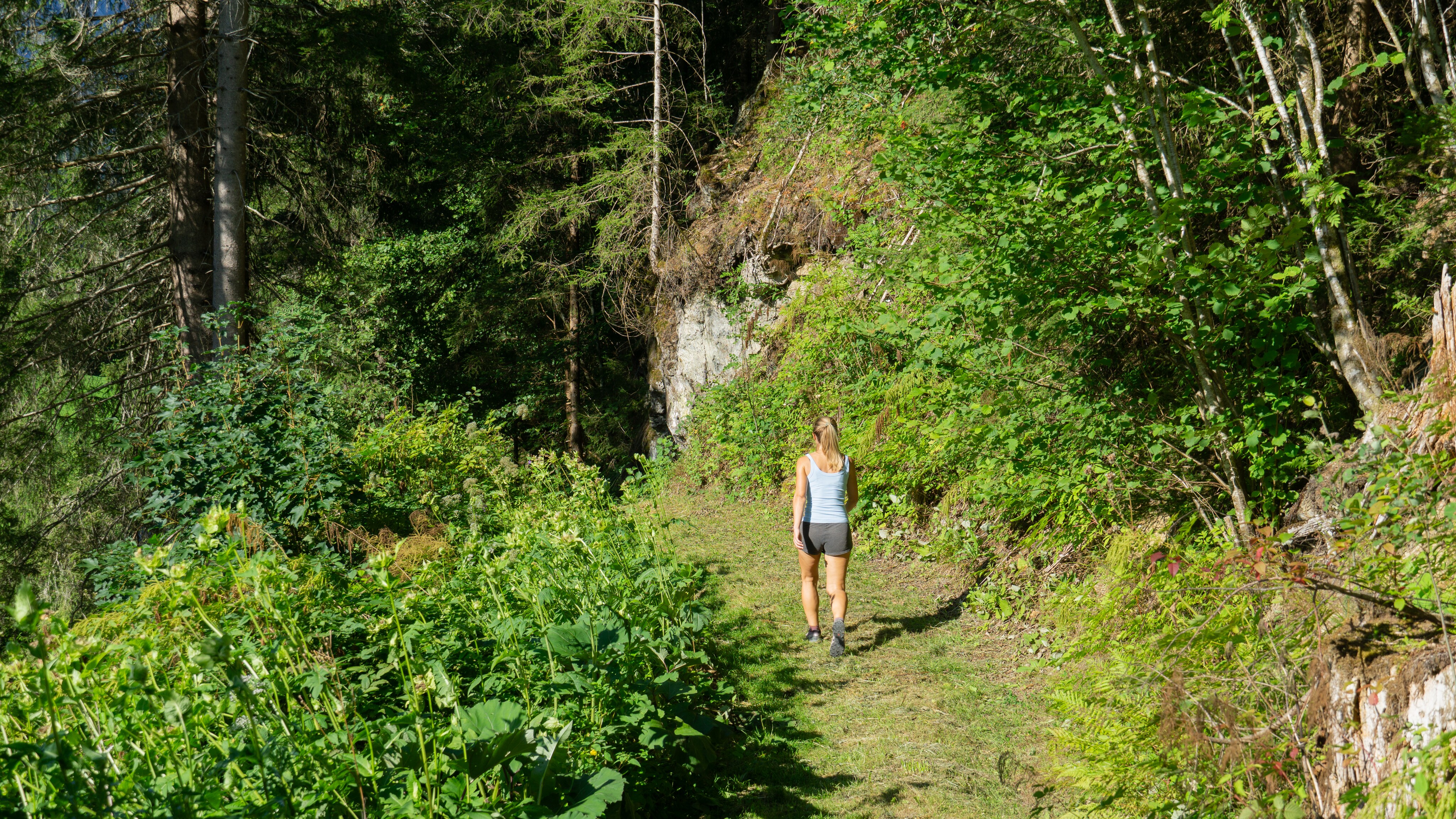
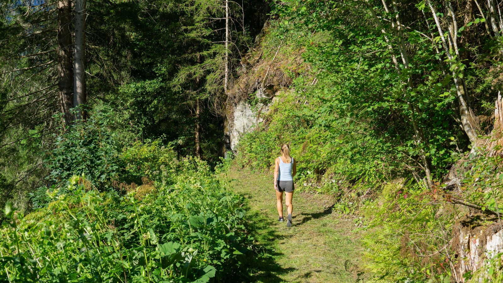
Trail running or a leisurely hike with the family - the movement arena Mitterberg-St. Martin combines both. Starting from Lengdorf, this tour leads to the Mitterberg hills with a wonderful view of the Kammspitze and the Grimming. Back to Lengdorf the route leads through a beautiful forest path. 

The tour

moderate
publicly accessible
Starting and end point village square Lengdorf
Tour characteristics
Distance: 4 km
Fitness (3/6)
Skills (3/6)
Information
Distance: 4 km
Duration: 50 min
Ascent: 125 m
Descent: 125 m
highest point: 812 m
Best season
Jan
Feb
Mar
Apr
May
Jun
Jul
Aug
Sep
Oct
Nov
Dec

Map, elevation profile & further information

Starting from Lengdorf, this tour leads to the Mitterberg hills with a wonderful view of the Kammspitze and the Grimming. Back to Lengdorf the route leads through a beautiful forest path. 
B 320 - Turnoff Lengdorf - Dorfplatz Lengdorf Parking lot near the forest 

Tourist Information: Infobüro Gröbming

  • From Schladming: Bus line 900
  • From Stainach: Bus line 901

More information on public transport connections: Bus timetable

Weather upheavals, rapid drops in temperature, thunderstorms, wind, fog and snowfields are objective dangers and require the right behaviour on the road. Hutkeepers are experienced mountain connoisseurs who can give good tips on the weather and the route. Lack of equipment, overestimation of one's own abilities, carelessness, poor physical condition and a wrong assessment can lead to critical situations. In case of thunderstorms: Avoid peaks, ridges and rope safety devices. In case of emergency, please dial the following emergency calls: No. 140 - Mountain rescue No. 112 - Euro emergency call. The hiking, running and Nordic walking routes partly run through sensitive areas. Take care of the forest and the wild animals living in it during your activities.

Translated with www.DeepL.com/Translator (free version)

For alpine routes, the basic equipment includes a hood, gloves, a good jacket and trousers. Good, waterproof shoes, sunglasses, sun protection and plenty of drinks are essential. Flashlight, maps, knives and a small first aid box are also included.

Wheather predicition

today
26.07.2026
Mountain 18 °C
Valley 24 °C
Precipitation
Probability
80 %
Amount
8.3 l/m²
Wind speed
West
10 km / h
Sun
Sun hours
6.4 h
Sunrise
05:35 o clock
Sunset
20:46 o clock

A high risk of thunderstorms throughout the whole day.

tomorrow
27.07.2026
Mountain 17 °C
Valley 24 °C
Precipitation
Probability
60 %
Amount
3.4 l/m²
Wind speed
Nordwest
15 km / h
Sun
Sun hours
9 h
Sunrise
05:36 o clock
Sunset
20:45 o clock

Fair in the early morning, later variable with frequent showers.

day after tomorrow
28.07.2026
Mountain 23 °C
Valley 29 °C
Precipitation
Probability
0 %
Amount
0 l/m²
Wind speed
West
5 km / h
Sun
Sun hours
13.7 h
Sunrise
05:38 o clock
Sunset
20:44 o clock

Dry and sunny throughout the day with hardly any clouds.

Tours nearby