


Naturpark Sölktäler
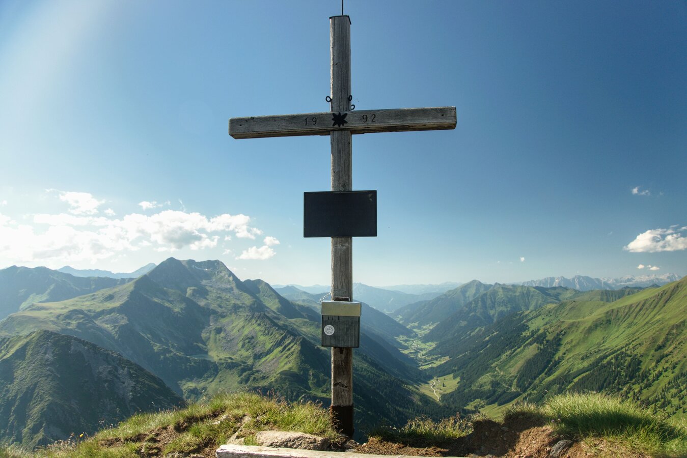
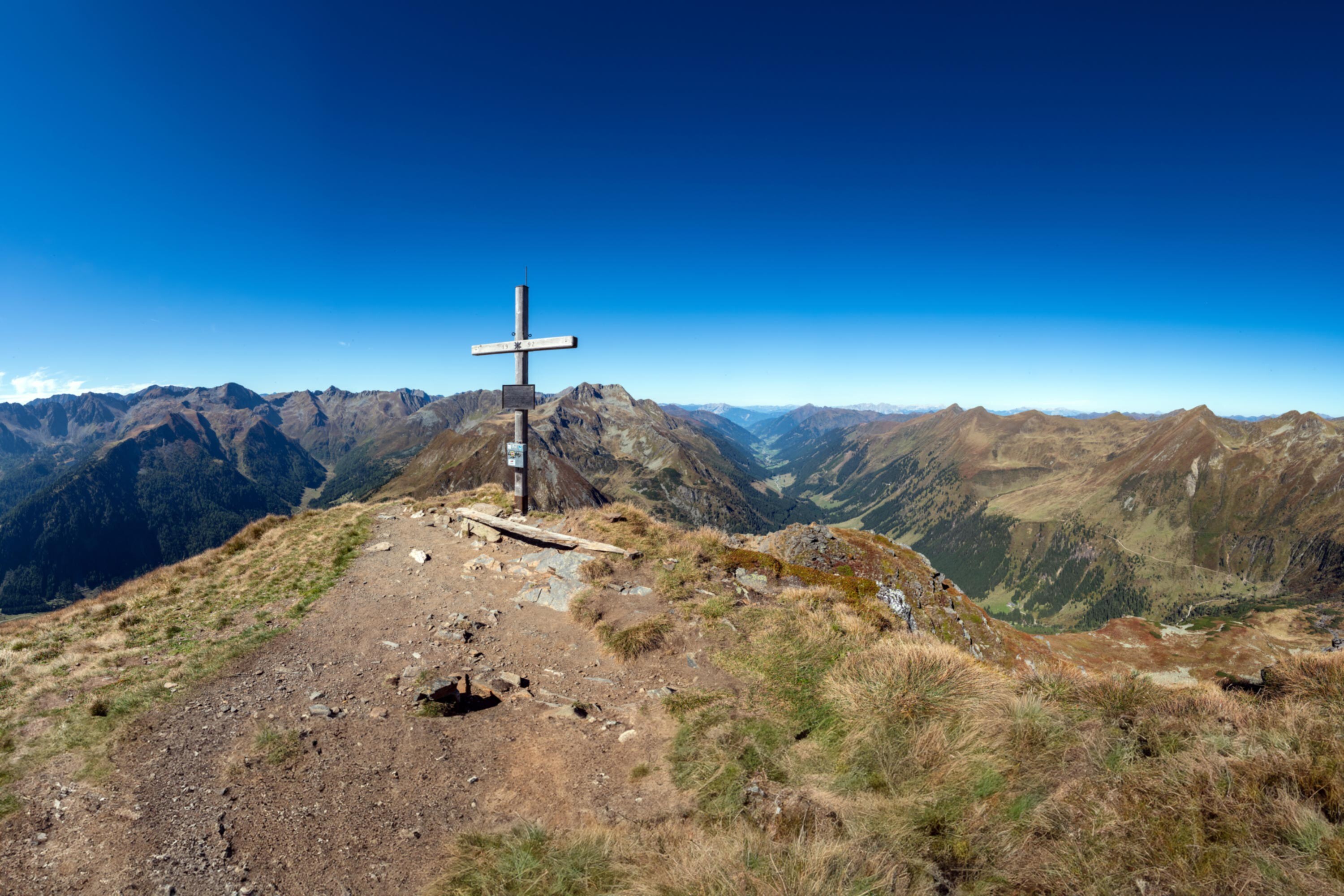
Hornfeldspitze 2.277m
Mountain tour
Data:

copyright: Christoph HUBER


copyright: Christoph HUBER

copyright: Christoph HUBER

copyright: Christoph HUBER

copyright: Christoph HUBER

copyright: Christoph HUBER
Tour description
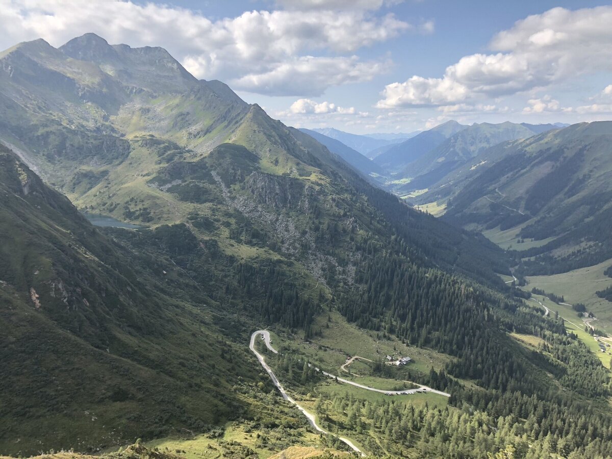
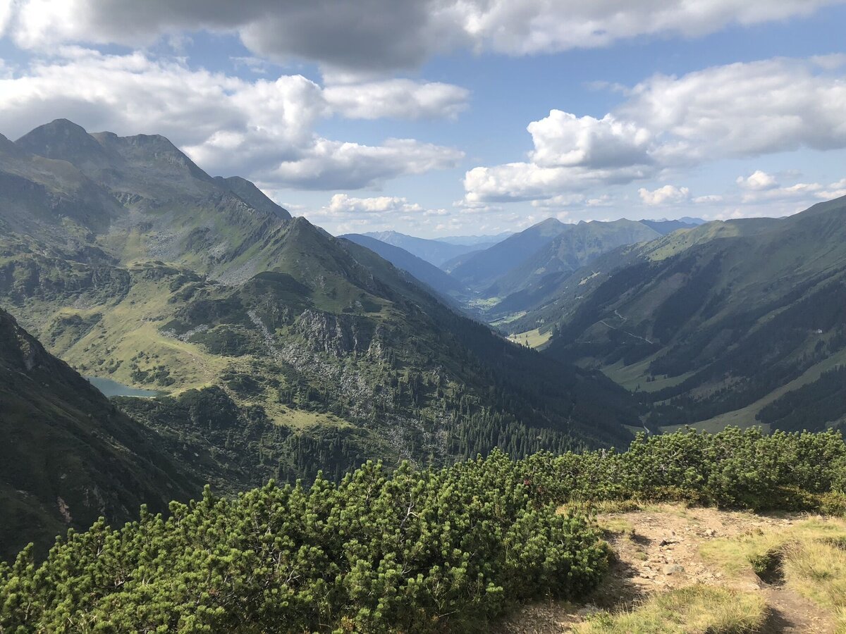
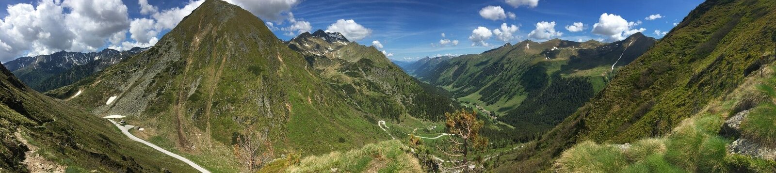
The Sölkpass - the highest pass in Styria - is the starting point for this relatively short ascent to a mountain peak in the Wölzer Tauern.
The tour
moderate
publicly accessible
Starting and end point
Sölkpass
Tour characteristics
Distance: 3.3 km
Fitness (3/6)
Skills (2/6)
Information
Distance: 3.3 km
Duration:
2:45 h
Ascent: 485 m
Descent: 485 m
highest point: 2277 m
Best season
Jan
Feb
Mar
Apr
May
Jun
Jul
Aug
Sep
Oct
Nov
Dec
Map, elevation profile & further information
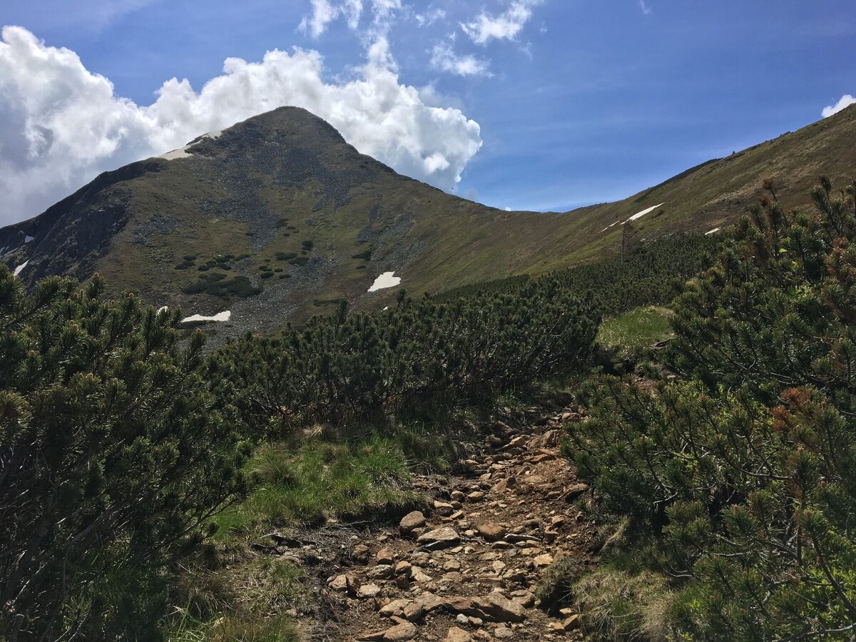
The trail begins directly at the Sölkpass Chapel on the east side of the road. The path crosses a hill at the beginning and then leads along a ridge to the summit.
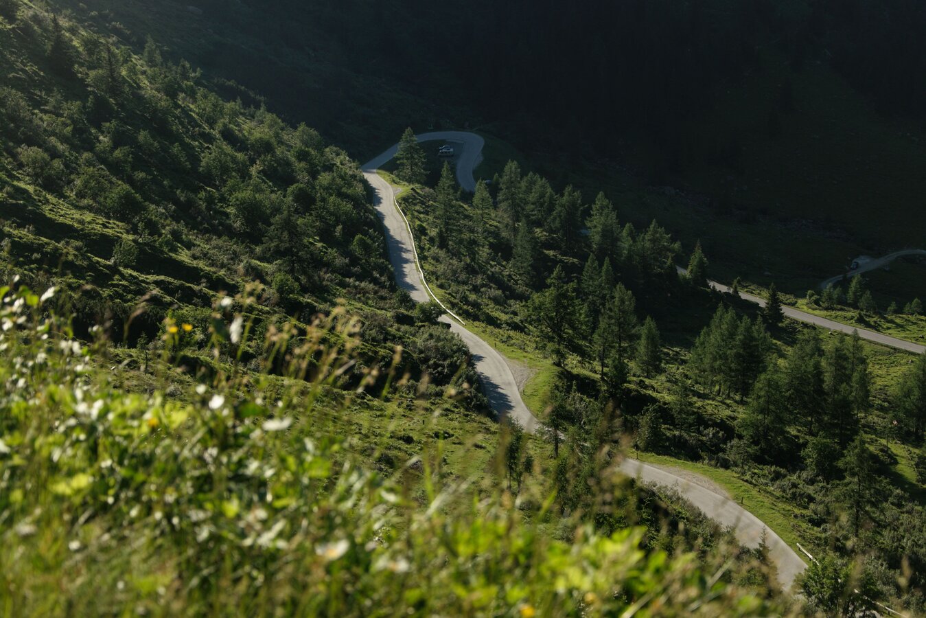
Turn off the Ennstalstraße B320 at Pruggern (west) or Espang (east) in the direction of the Sölktäler Nature Park. From Stein a.d. Enns follow the Sölkpass road for 26 km to the Sölkpass.Parking Sölkpass
Arrival at Stein/Enns train station with ÖBB.
Cab Stefan Mayer: +43 676 54 09 858
Valley bus from July 11 to September 13, 2026 - this makes crossings in the Sölktäler Nature Park possible. You can also travel comfortably by train and the valley bus will take you to the starting point of your hike. Click here for the timetable.
Cab Stefan Mayer: +43 676 54 09 858
Valley bus from July 11 to September 13, 2026 - this makes crossings in the Sölktäler Nature Park possible. You can also travel comfortably by train and the valley bus will take you to the starting point of your hike. Click here for the timetable.
Weather changes, rapid drop in temperature, thunderstorms, wind, fog and snow fields are objective dangers and require the right behavior on the way. Hut keepers are experienced mountain connoisseurs, they can give good tips on the weather and the course of the trail. Lack of equipment, overestimation of one's own abilities, carelessness, poor physical condition and a wrong assessment can lead to critical situations. During thunderstorms: avoid peaks, ridges and rope belays at all costs.
GPS data and orientation aids: Available GPS data - as well as hiking maps - are only an orientation aid, since they can never represent an exact image or the richness of detail of a path in reality. Especially in the case of danger spots, it must therefore always be decided in the end on the basis of the conditions on site whether and how the further course of the path looks like.
In case of emergency, please dial the following emergency numbers:
No. 140 - for alpine emergencies - Austria-wide
No. 112 - Euro emergency call GSM emergency call service
Take rainproof and warm clothes and enough water, possibly also a snack, wear shoes with non-slip profile soles. A first aid kit should also be in your backpack.
A visit to the Sölkpass Chapel is part of a hike up to Hornfeldspitze.
SummitLynx- Your digital summit and hut book - available worldwide and always with you!Mountain guides from the region: www.schladming-dachstein.at/mountainguides
For more information, please contact the Schladming Dachstein Tourist Office - Sölktäler Nature Park Information Center:
Phone: +43 3687 23310 501
mailto:info@schladming-dachstein.at
Stein an der Enns 107
8961 Sölk
The brochure “Schladming-Dachstein Hiking” is available in all information offices in the region.


