contact
contact
ForYou Club
0 / 0 Facilities
0 / 0 Slopes
18 °C
Webcam
Ramsau am Dachstein

Glacier hike to the Seethalerhütte
Tour description

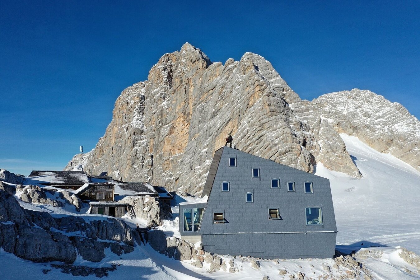
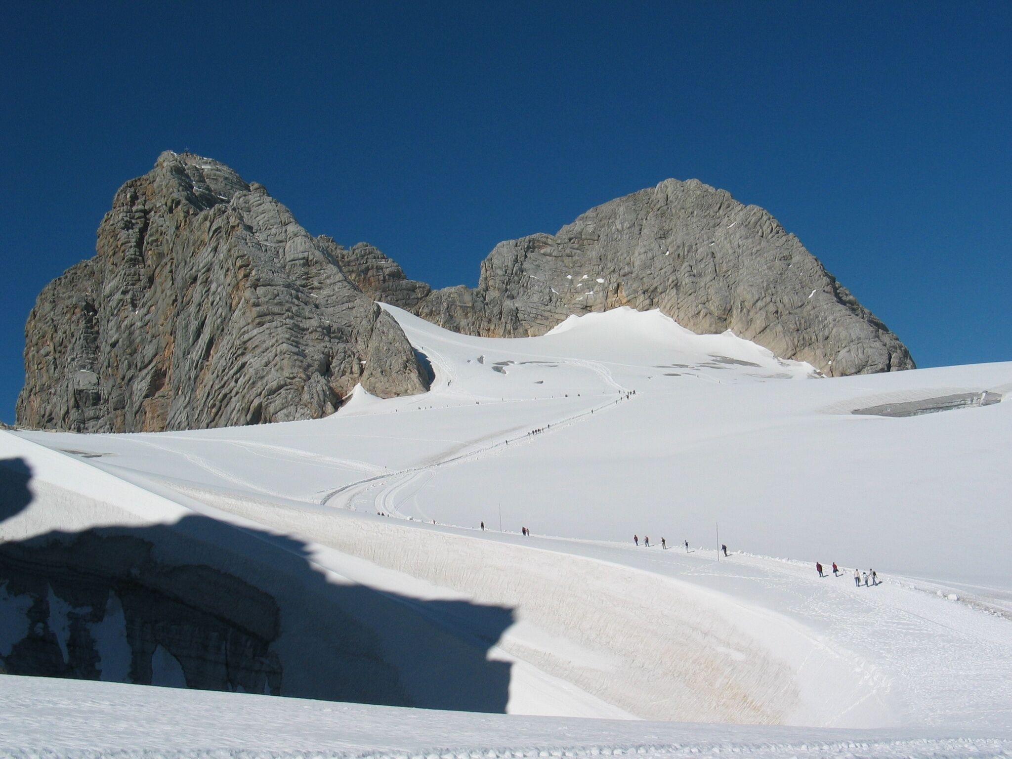
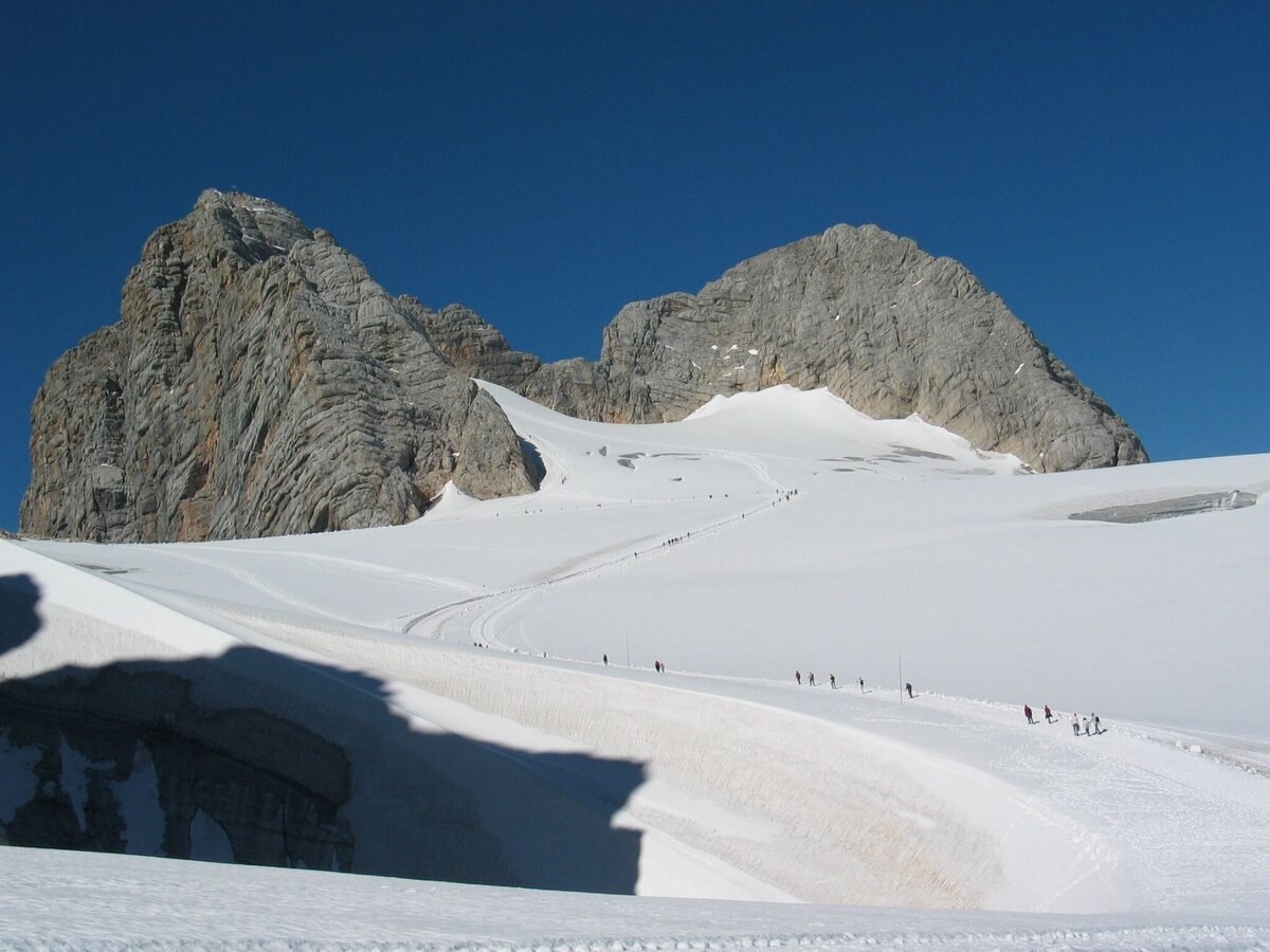
A fascinating glacier walk to the largest kolk of the Eastern Alps: a large snow ridge surrounds the "Dirndl" which rise like a ship bow from the glacier.  Go straight ahead towards the Dachstein and the groomed track will lead you to the Seethalerhütte. This mountain hut was originally built as a mountain shelter for mountaineers and offers a stunning view of the Dachstein Südwand (south face). Walk back the same way. 

Due to the natural behaviour of the glaciers, the path between the Schladming and Hallstatt glaciers may occasionally not be groomed. In such cases, the route remains closed for safety reasons.

The tour

open
moderate
publicly accessible
Starting and end point Dachstein Gondola Mountain Station
Tour characteristics
Distance: 4 km
Fitness (2/6)
Information
Distance: 4 km
Duration: 1:30 h
Ascent: 190 m
Descent: 190 m
highest point: 2740 m
Best season
Jan
Feb
Mar
Apr
May
Jun
Jul
Aug
Sep
Oct
Nov
Dec

Map, elevation profile & further information

From the mountain station, descend in a northerly direction past the ski lifts (Hunerkogel and Schladmingerbahn) and shortly after the ski lifts follow the trail in a westerly direction on a well-marked and groomed glacier trail. After about 1 kilometer, turn left in the direction of the Seethalerhütte, which is already clearly visible.  

From the west: 

Tauern Autobahn (A 10) to Knoten Ennstal - turnoff direction Graz/Schladming - stay on the Ennstal-Bundesstraße (B320) for approx. 20 km until Schladming - take the turnoff for Ramsau. 

From the north: 

Pyhrn Autobahn (A 9)  direction Liezen - take the Ennstal-Bundesstraße (B320)  to Schladming - turnoff Ramsau.

From the west: 

Tauern Autobahn (A 10) to Knoten Ennstal - turnoff direction Graz/Schladming - stay on the Ennstal-Bundesstraße (B320) for approx. 20 km until Schladming - take the turnoff for Ramsau. 

From the north: 

Pyhrn Autobahn (A 9)  direction Liezen - take the Ennstal-Bundesstraße (B320)  to Schladming - turnoff Ramsau.


Dachstein Gondola Bottom Station
Bus stop "Dachstein Türlwandhütte"

See the timetables HERE

Do not stray from the path! There are crevasses outside the path. Sun and wind protection, mountain shoes (walking sticks recommended)
Schladming-Dachstein

Hiking map Schladming-Dachstein, 1:50,000, available in the information offices

Hiking guide Schladming-Dachstein by Herbert Raffalt (available only in German), available in the information offices

Wheather predicition

today
18.09.2026
Mountain 3 °C
Valley 17 °C
Precipitation
Probability
60 %
Amount
1.7 l/m²
Wind speed
West
5 km / h
Sun
Sun hours
4.6 h
Sunrise
06:46 o clock
Sunset
19:12 o clock

A fairly sunny day with scattered clouds and a chance of snow showers towards evening.

tomorrow
19.09.2026
Mountain 5 °C
Valley 18 °C
Precipitation
Probability
0 %
Amount
0.2 l/m²
Wind speed
West
5 km / h
Sun
Sun hours
5.1 h
Sunrise
06:48 o clock
Sunset
19:10 o clock

Fog and clouds will clear slowly and the day will be partly sunny.

day after tomorrow
20.09.2026
Mountain 7 °C
Valley 22 °C
Precipitation
Probability
40 %
Amount
1.5 l/m²
Wind speed
Nordwest
10 km / h
Sun
Sun hours
7.6 h
Sunrise
06:49 o clock
Sunset
19:08 o clock

The day starts sunny, but will be partly cloudy in the afternoon.

Tours nearby