contact
contact
ForYou Club
0 / 0 Facilities
0 / 0 Slopes
14 °C
Webcam
Haus-Aich

Freienstein-Round over Kunagrün
Tour description

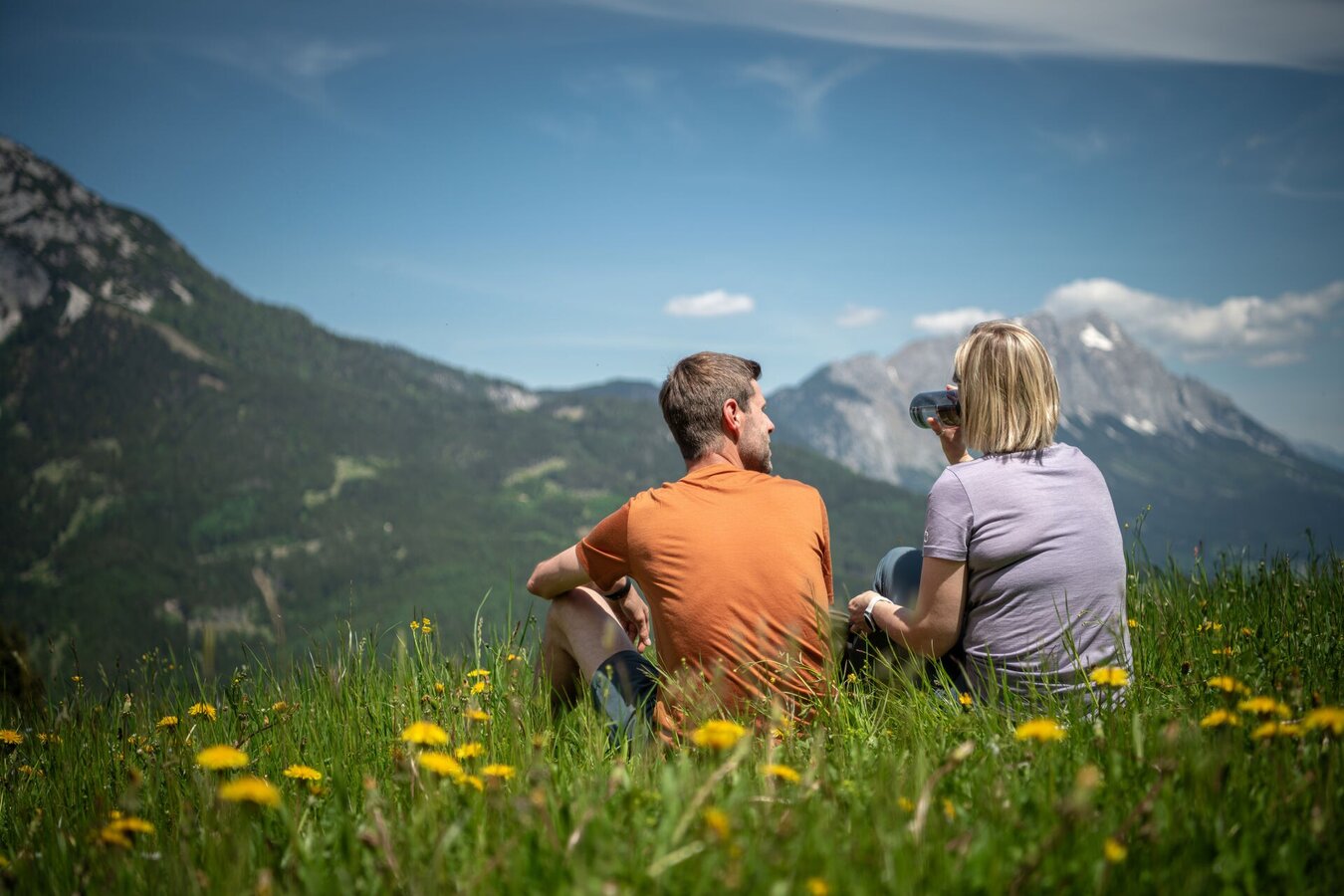
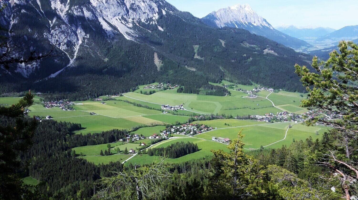
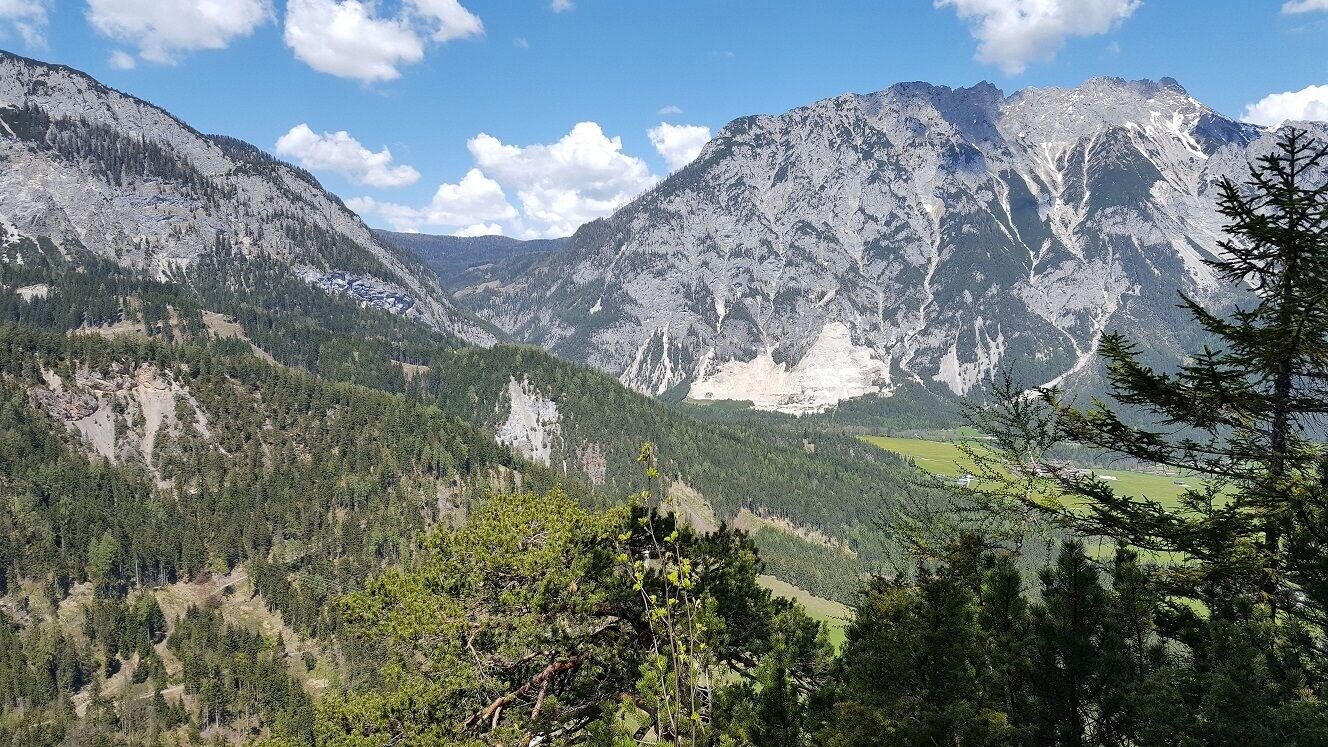
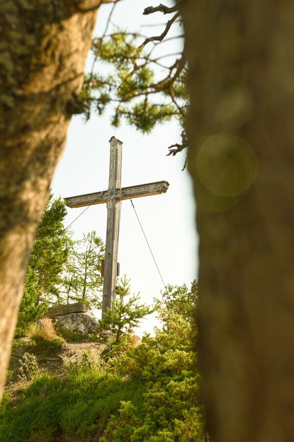
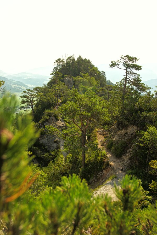
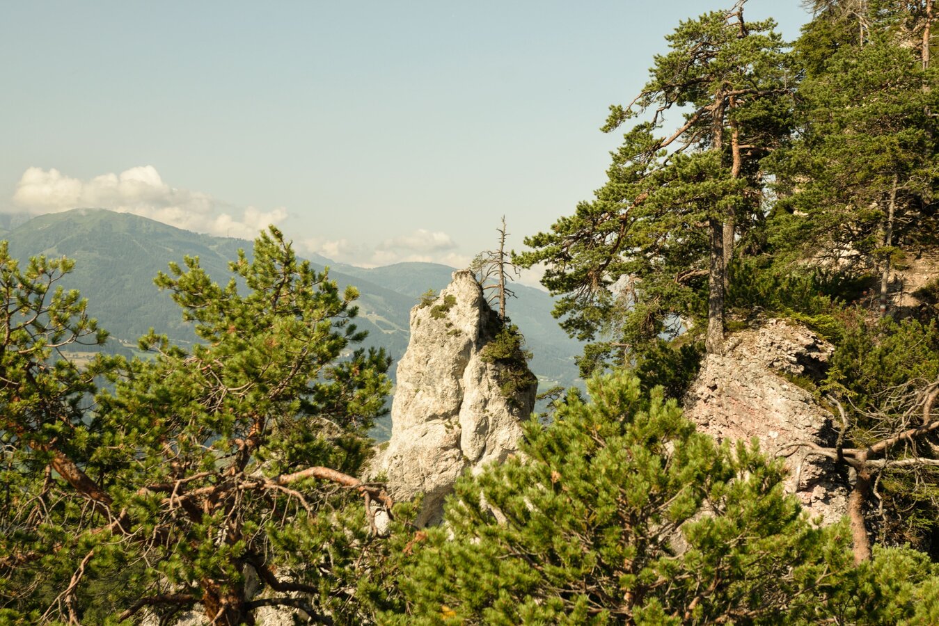
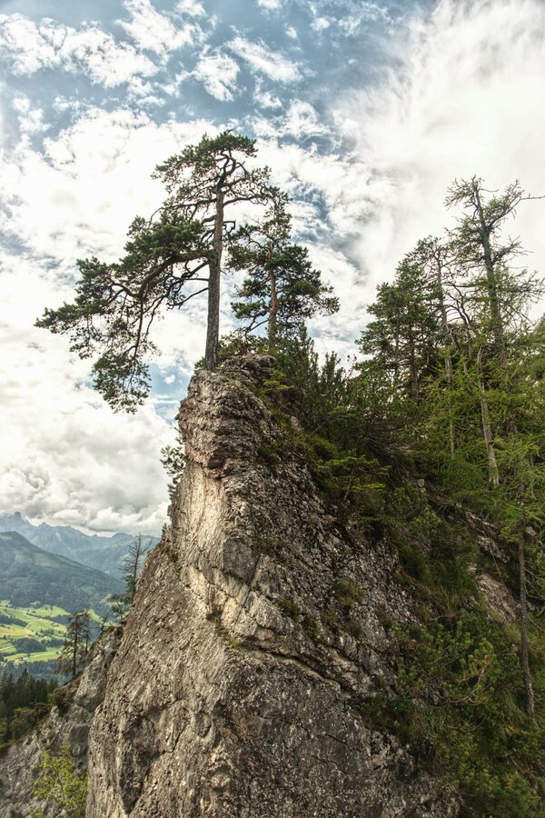
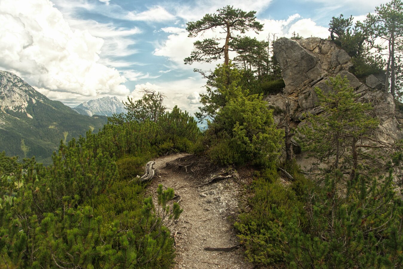
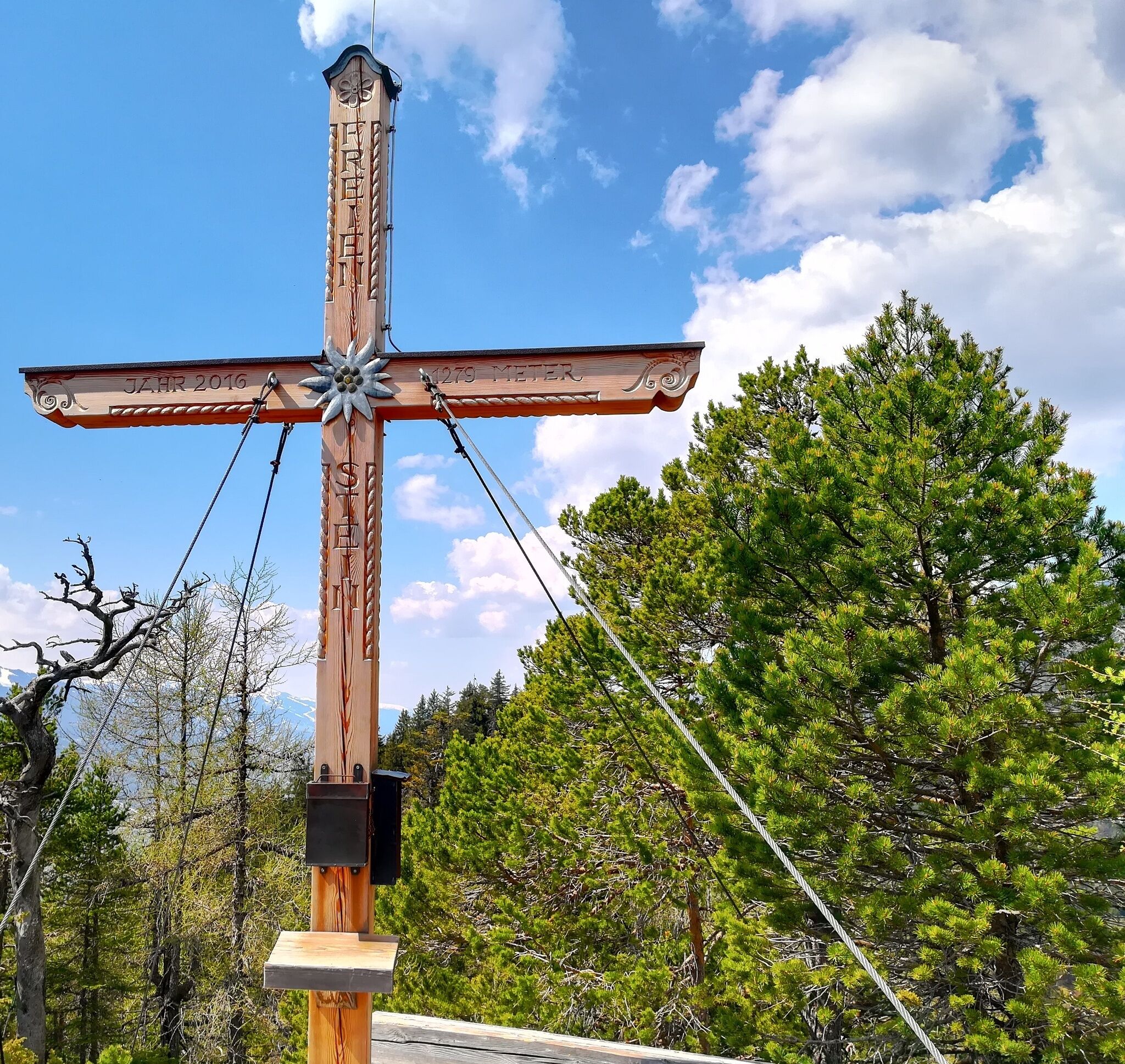
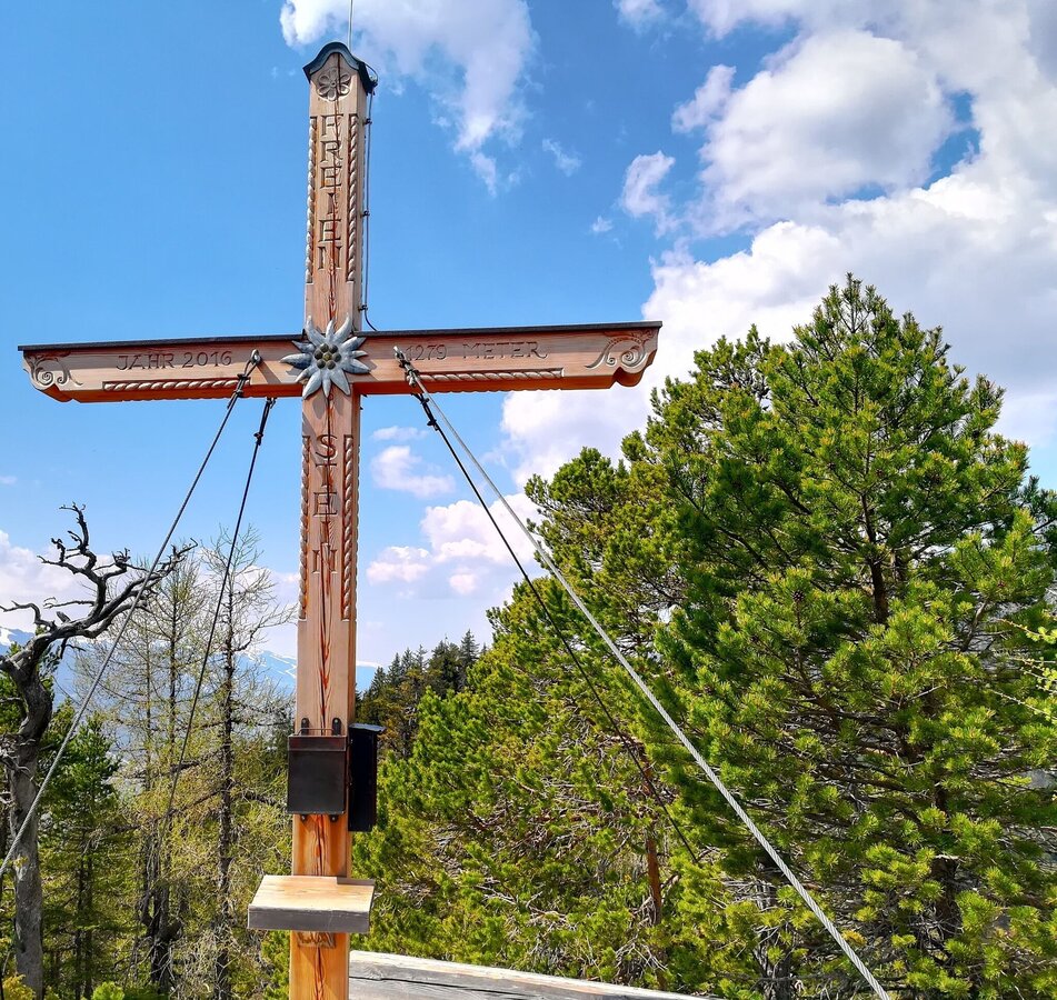
Over the crest of the Freienstein a hike full of surprises opens up for us. Not many would expect this inconspicuous forest mountain to have a very attractive high trail running over its long, still forested ridge. Among other things, we cross a beautiful forest clearing with many flowers and tall grasses before we march between pines up to the summit. There a dreamlike place with deep views to both sides awaits us. But also the Schladminger Tauern and the Stoderzinken are photogenic in our field of vision.

The tour

moderate
Starting and end point Assacher Tenne
Tour characteristics
Distance: 9.5 km
Fitness (3/6)
Skills (4/6)
Information
Distance: 9.5 km
Duration: 3:30 h
Ascent: 580 m
Descent: 580 m
highest point: 1279 m
Best season
Jan
Feb
Mar
Apr
May
Jun
Jul
Aug
Sep
Oct
Nov
Dec

Map, elevation profile & further information

Our hike starts at the Assacher Tenne up to the Assacher Scharte. The route is the same as the Panorama Trail 100. Once we have reached the top of the saddle, we follow trail no. 679 to the east (right) over the Freienstein (1,279m) to the Kulmberg. Then we take the descent via the Kunagrünberg (Ackerlhof and Klemmerhof) to Kunagrün and from there we hike back to Assach on a field path. Note: The Freiensteing summit is only for experienced hikers with a head for heights!
  • coming from Schladming/Salzburg: via the Ennstalbundesstraße (B320) - exit Aich - continue to Assach
  • coming from Gröbming/Liezen: via the Ennstalbundesstraße (B320) - exit Assach - continue to the village square Assach
  • coming from Schladming/Salzburg: via the Ennstalbundesstraße (B320) - exit Aich - continue to Assach
  • coming from Gröbming/Liezen: via the Ennstalbundesstraße (B320) - exit Assach - continue to the village square Assach

Assacher Tenne
ASSACH: Postbus (L900) - Exit: Assach fire department (only at schooltime in Austria) or Assach main road
Surefootedness and free of dizziness sturdy shoes, rain gair
Open your eyes and be enchanted by some of the tree formations that remind you of the Harry Potter novels and movies.Safety information

Safety on the mountainside: changes in the weather, sudden fall in temperature, thunder storms, wind, fog and snow fields are all objective dangers and require the correct behaviour whilst underway. the landlords of the huts are all very knowledgeable about the mountains and can give you good tips about the weather and the routes. Insufficient equipment, exaggerated opinion of ones capabilities, frivolousness, poor health condition and a false evaluation of the situation can lead to a critical situation. In thunder storms: summits, crest-sites and safety rope aids are to be avoided.

If something should happen call following emergency numbers:No. 140 - the number for all Alpine Emergencies in all of AustriaNo. 112 - European emergency call GSM emergency-call-service

Here you will find all hiking maps and important brochures to download.
 

Along the route

Wheather predicition

today
18.09.2026
Mountain 11 °C
Valley 19 °C
Precipitation
Probability
60 %
Amount
2.4 l/m²
Wind speed
Nord
5 km / h
Sun
Sun hours
4.8 h
Sunrise
06:46 o clock
Sunset
19:11 o clock

Fairly sunny with scattered clouds. Showers will be possible towards evening.

tomorrow
19.09.2026
Mountain 13 °C
Valley 21 °C
Precipitation
Probability
5 %
Amount
0.2 l/m²
Wind speed
West
5 km / h
Sun
Sun hours
4.8 h
Sunrise
06:47 o clock
Sunset
19:09 o clock

Fog and clouds will clear slowly and the day will be partly sunny.

day after tomorrow
20.09.2026
Mountain 15 °C
Valley 22 °C
Precipitation
Probability
45 %
Amount
1.4 l/m²
Wind speed
Nordwest
10 km / h
Sun
Sun hours
7.6 h
Sunrise
06:49 o clock
Sunset
19:07 o clock

The day starts sunny, but will be partly cloudy in the afternoon.

Tours nearby