


Dachsteinblick loop via Poserer farm

Tour description
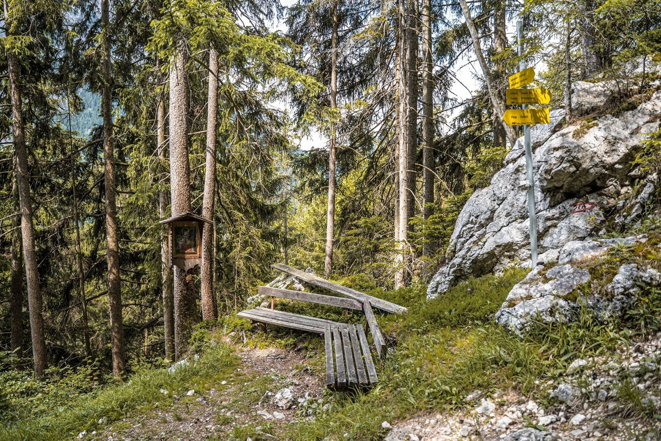
This short hike takes you from the Gasthaus Dachsteinblick to the first part of the Marterlweg and past the Poserer farm Poserer back to your starting point. A beautiful forest hike - just right to whet your appetite for a stop at the Dachsteinblick inn - or as a digestive walk afterwards :)
The tour
Map, elevation profile & further information
From the Gasthaus Dachsteinblick follow the signs south onto “Marterlweg”. You walk slightly downhill along the small shrines of the Marterlweg and at the end of an S-curve to the right you reach the junction towards Poserer. While the Marterlweg continues south to Pürgg, you continue hiking towards the northwest and soon reach the Poserer farm. From the farm you walk briefly along the access road and, about 250 m after the farm, turn right up onto path #278a, which takes you back up to the Gasthaus Dachsteinblick. Alternatively, you can hike a little further along the access road and hike up to the inn via path #288.
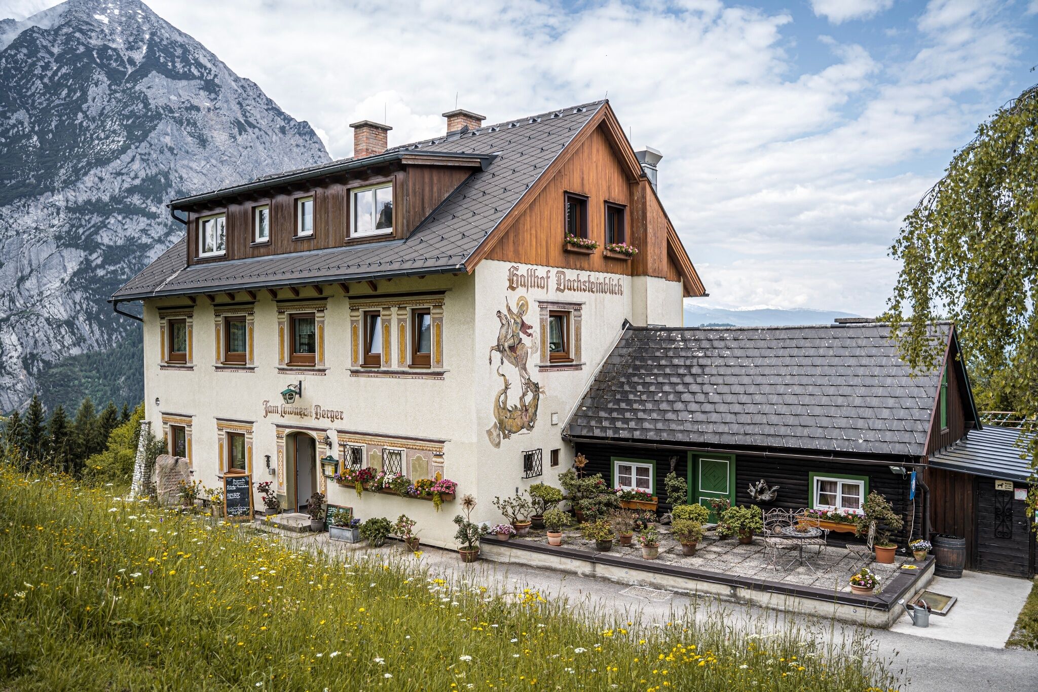
From the B145 Salzkammergut-Straße, take the Tauplitz/Wörschachwald exit and follow the signs to Wörschachwald. At the fork in the road in Wörschachwald, turn right towards Dachsteinblick and follow the road to the end at the Gasthaus Dachsteinblick.
Parking at the Gasthaus Dachsteinblick.
Gasthaus Dachsteinblick cannot be reached by public transport. Closest option is the bus/train in Klachau (train station Tauplitz). From there you need a taxi to get to the starting point.
Stay on the marked trails and remember to close pasture fences again. If you encounter cows: It is best to pass above the herd with at least 50 meters distance. Stay calm, don't make any frantic movements and don't run away. Do not imitate cow sounds and do not try to pet the animals. A stick and loud shouting can often make the animals turn back in an emergency.
GPS data and orienteering
Available GPS data - just like hiking maps - is only a guidance for orientation and can never depict a trail exactly with all its details. Especially at dangerous spots it is essential to judge on site how to proceed.
In an emergency please call:
- 140 - for Alpine emergencies (all over Austria)
- 112 - European GSM emergency number
A well-packed backpack is helpful and especially when touring Alpine terrain a tuque, gloves, a windproof jacket and pants are standard equipment. Good, waterproof shoes, sun glasses, sun cream and sufficient beverages are essential too. Torch light, a map of the area, knie and a small first-aid kit should also be in the backpack.
Summer experience map Schladming-Dachstein EAST, available at the information offices in the region.


