Grimming-Donnersbachtal
Bike & Hike Mörsbachalm - Gstemmerscharte
Mountainbike tour
Data:
Tour description
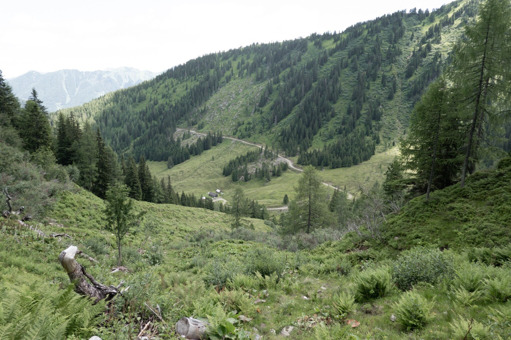
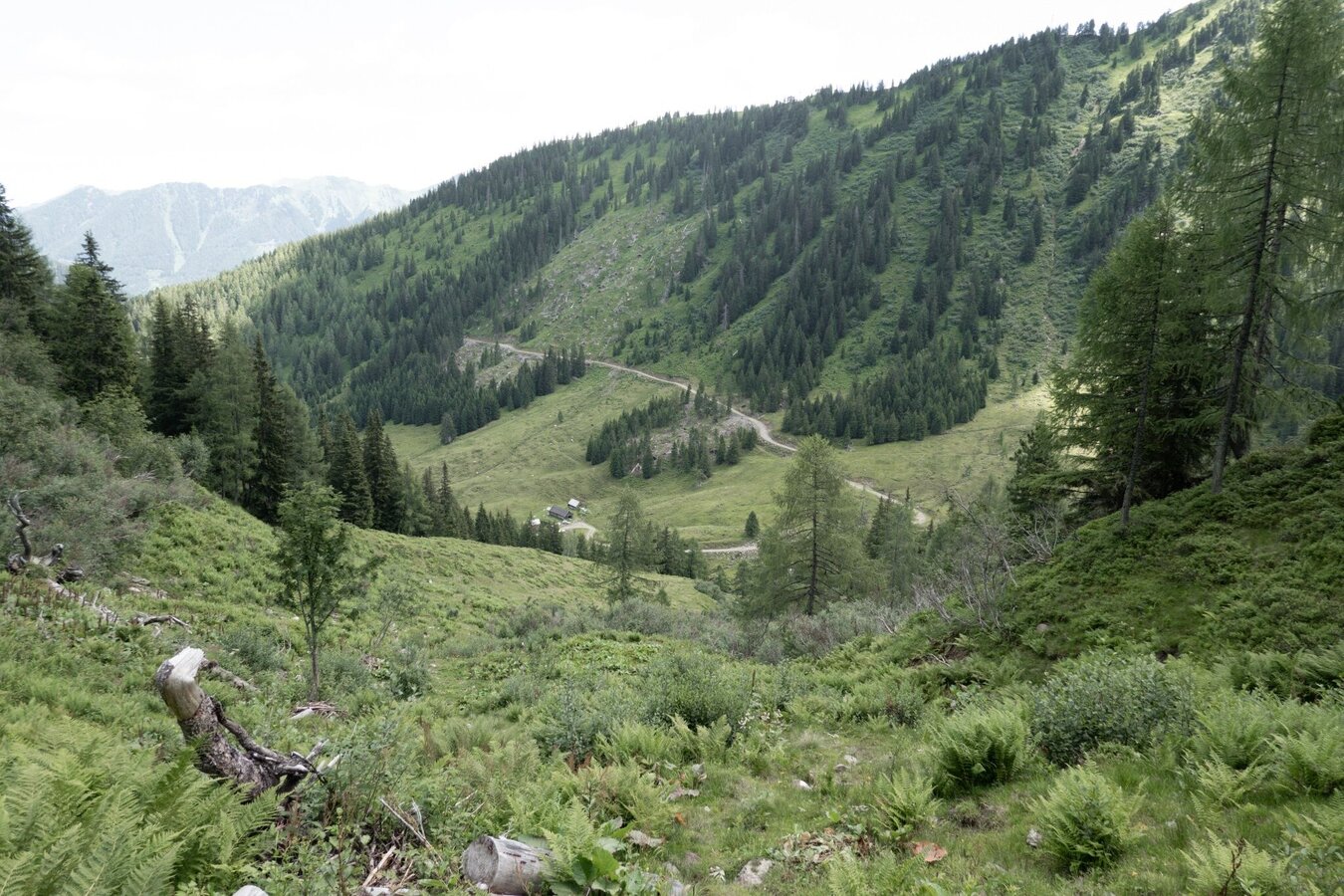
From Donnersbachwald, the tour follows the Mörsbach Loop (323) steadily uphill to the Vordere Mörsbachalm. Here the bike is parked and the hike begins.
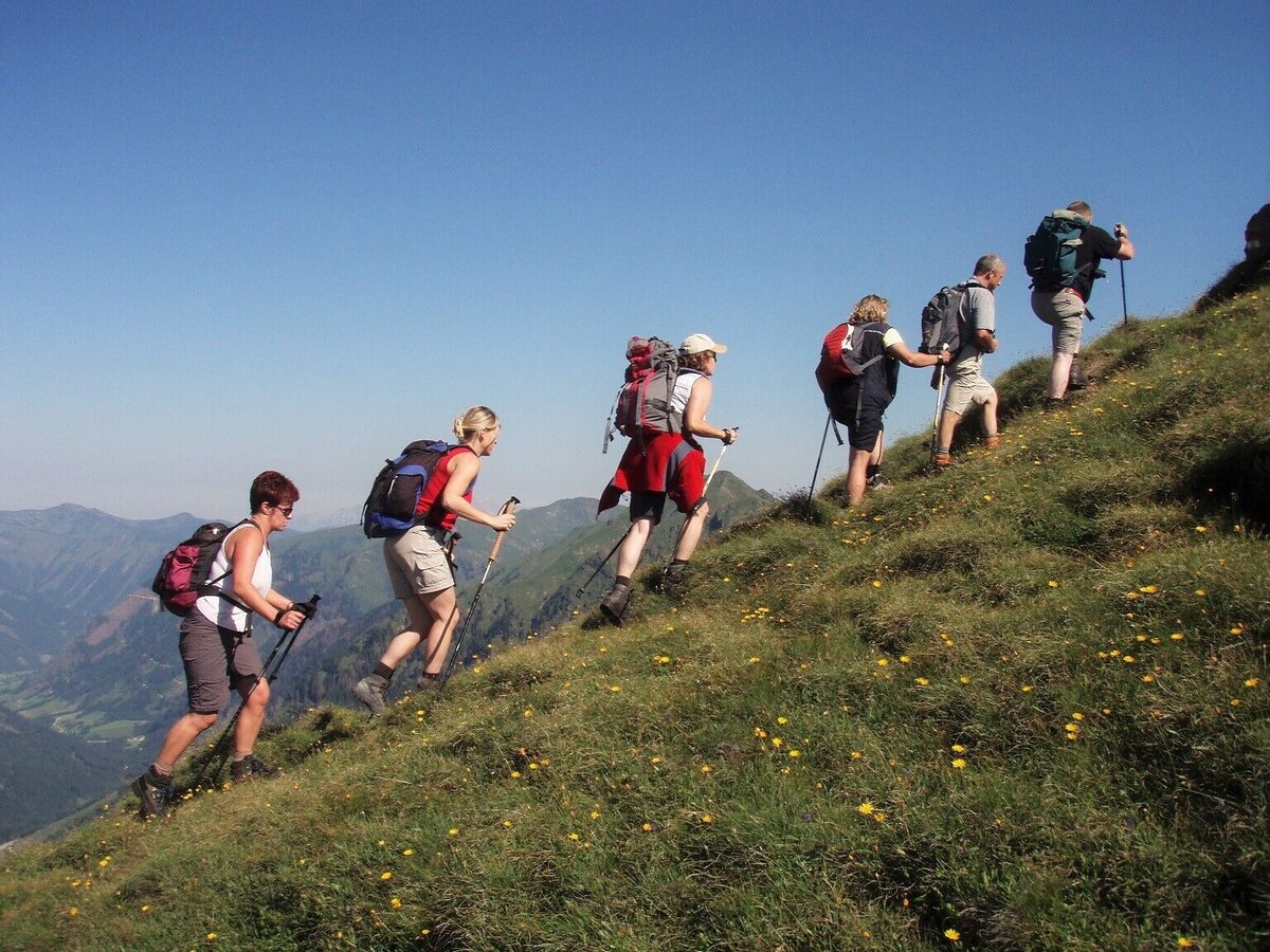
The hike leads via Schusterboden and Mößnascharte along a scenic ridge past Schwarzkarspitz to Sonntagskarspitz. The return route goes via Gstemmerscharte to the Hintere Mörsbachalm.
Afterwards, return to the Bike & Hike station. Then continue again on the Mörsbach Loop (323): the route passes the Oxenalm and then follows a steep, rough gravel descent back to Donnersbachwald to the starting point.
Cycling is only permitted during the following times:
Hike total: 05:15 h, 8.6 km, 780 m elevation gain
The hike leads via Schusterboden and Mößnascharte along a scenic ridge past Schwarzkarspitz to Sonntagskarspitz. The return route goes via Gstemmerscharte to the Hintere Mörsbachalm.
Afterwards, return to the Bike & Hike station. Then continue again on the Mörsbach Loop (323): the route passes the Oxenalm and then follows a steep, rough gravel descent back to Donnersbachwald to the starting point.
Cycling is only permitted during the following times:
- 15 May to 31 August from 08:00 to 18:00
- 1 September to 30 September from 08:00 to 17:00
Hike total: 05:15 h, 8.6 km, 780 m elevation gain
The tour
open
moderate
Starting and end point
Donnersbachwald Village Centre
Tour characteristics
Distance: 23.7 km
Fitness (4/6)
Skills (3/6)
Information
Distance: 23.7 km
Duration:
7:55 h
Ascent: 1510 m
Descent: 1510 m
highest point: 2013 m
Best season
Jan
Feb
Mar
Apr
May
Jun
Jul
Aug
Sep
Oct
Nov
Dec
Map, elevation profile & further information
Start at the parking area in the center of Donnersbachwald. From there, follow the signs of the Mörsbach Loop (323) via Freizeitanlage Donnersbach – Sport Scherz – Riesnerhof onto the Mörsbachalmweg.
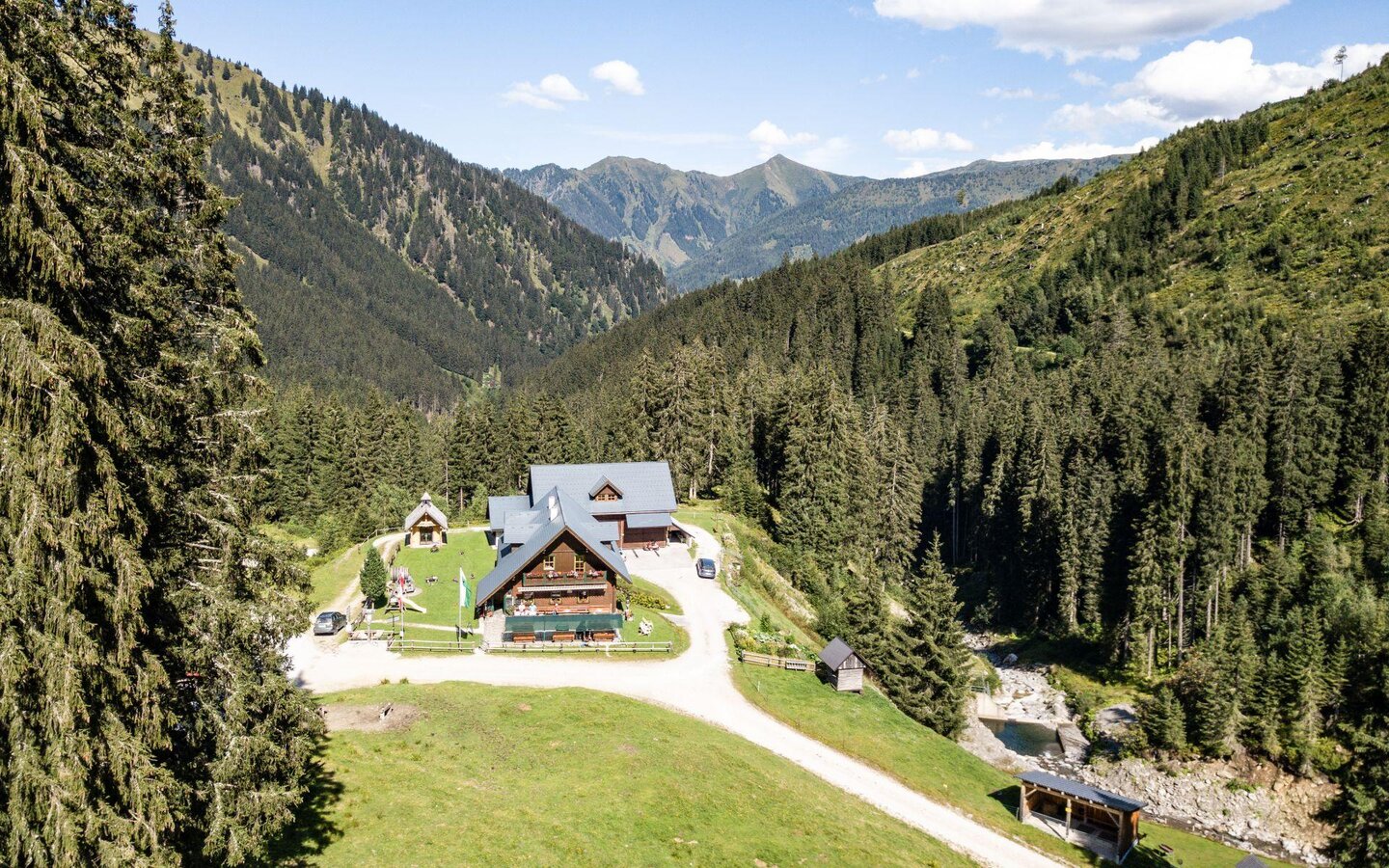
Continue via the Mörsbachhütte to the Vordere Mörsbachalm, where the Bike & Hike station is located.
After the hike via Schusterboden – Mößnascharte – Schwarzkarspitz – Sonntagskarspitz – Gstemmerscharte, return to the Hintere Mörsbachalm and back to the Bike & Hike station.
Then continue following the Mörsbach Loop (323). The route passes the Oxenalm and then follows a steep, rough gravel descent back to Donnersbachwald to the starting point.
Coming from the B320, turn at the Trautenfels junction towards Irdning.
Then continue in the direction of Donnersbach and Donnersbachwald.
Google Link
Coming from the B320, turn at the Trautenfels junction towards Irdning.
Then continue in the direction of Donnersbach and Donnersbachwald.
Google Link
Parking area in the center – near Hotel Stegerhof
Google Link
Then continue in the direction of Donnersbach and Donnersbachwald.
Google Link
Coming from the B320, turn at the Trautenfels junction towards Irdning.
Then continue in the direction of Donnersbach and Donnersbachwald.
Google Link
Parking area in the center – near Hotel Stegerhof
Google Link
Arrival by train to Stainach-Irdning. From there, continue by bus to Donnersbachwald (stop: Ortsmitte), please check the timetable.
ÖBB timetable
ÖBB timetable
Stay Safe on Your Bike & Hike
Weather conditions in the mountains can change quickly. Thunderstorms, wind, fog and sudden temperature drops are serious hazards. Plan your tour realistically and don’t overestimate your abilities.
In case of thunderstorms: Avoid summits, ridgelines and isolated trees.
Emergency numbers:
140 – Mountain Rescue
112 – European emergency number
Recommended equipment:
Helmet, suitable bike and hiking clothing, sturdy shoes, sufficient water.
Always lock your bike.
There are E-bike charging stations along the route (see map/elevation profile) – bring your charger.
For via ferrata routes: Via ferrata set, helmet, appropriate footwear.
Weather conditions in the mountains can change quickly. Thunderstorms, wind, fog and sudden temperature drops are serious hazards. Plan your tour realistically and don’t overestimate your abilities.
In case of thunderstorms: Avoid summits, ridgelines and isolated trees.
Emergency numbers:
140 – Mountain Rescue
112 – European emergency number
Recommended equipment:
Helmet, suitable bike and hiking clothing, sturdy shoes, sufficient water.
Always lock your bike.
There are E-bike charging stations along the route (see map/elevation profile) – bring your charger.
For via ferrata routes: Via ferrata set, helmet, appropriate footwear.
- Refreshments: Stops available at the Vordere and Hintere Mörsbachalm
- E-bike: The ascent is ideal with an e-MTB (see map/elevation profile)