Around the summit of Steirische Kalkspitze
snadné Hiking · Schladming
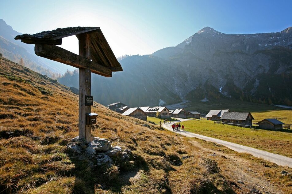
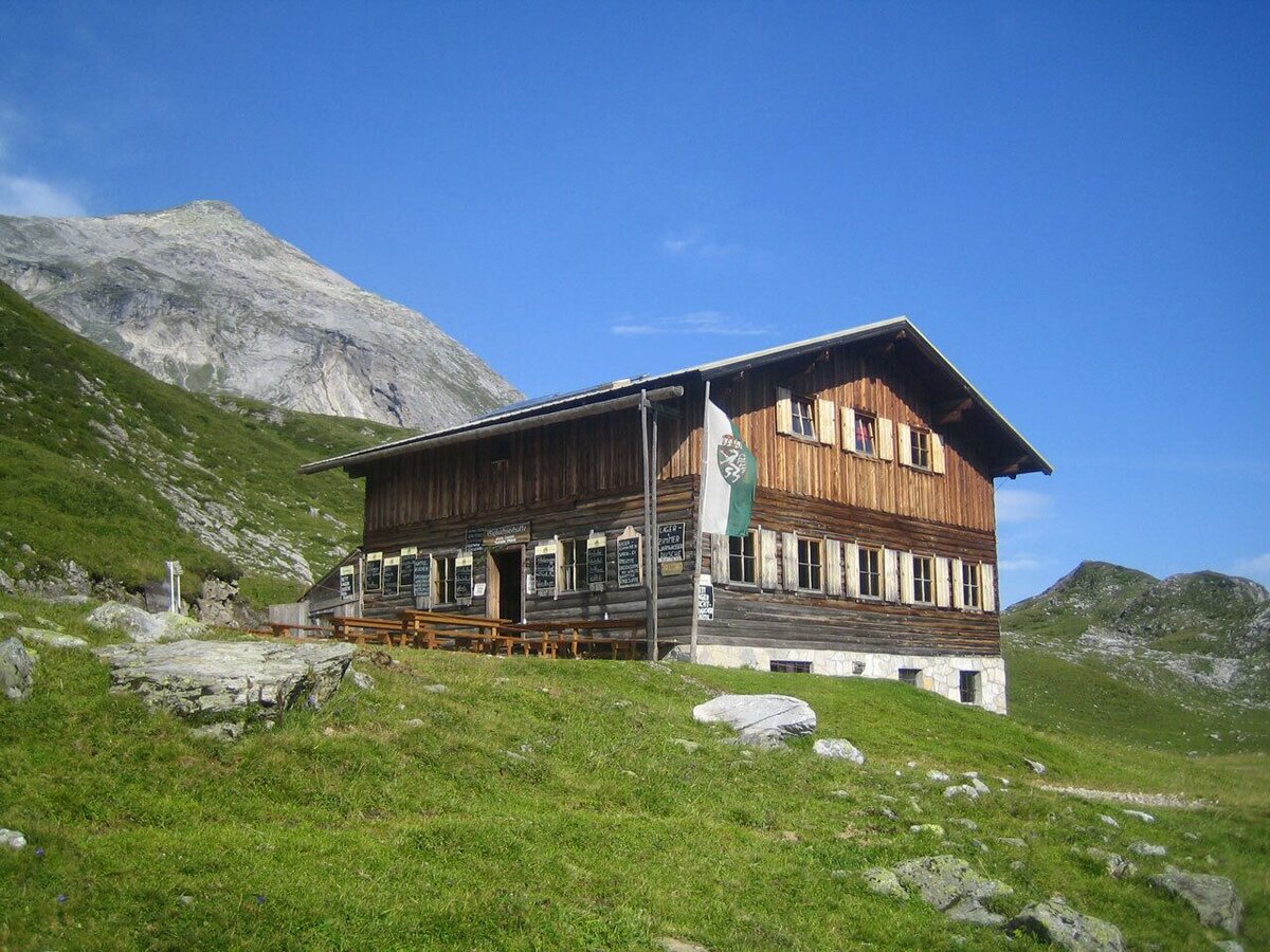
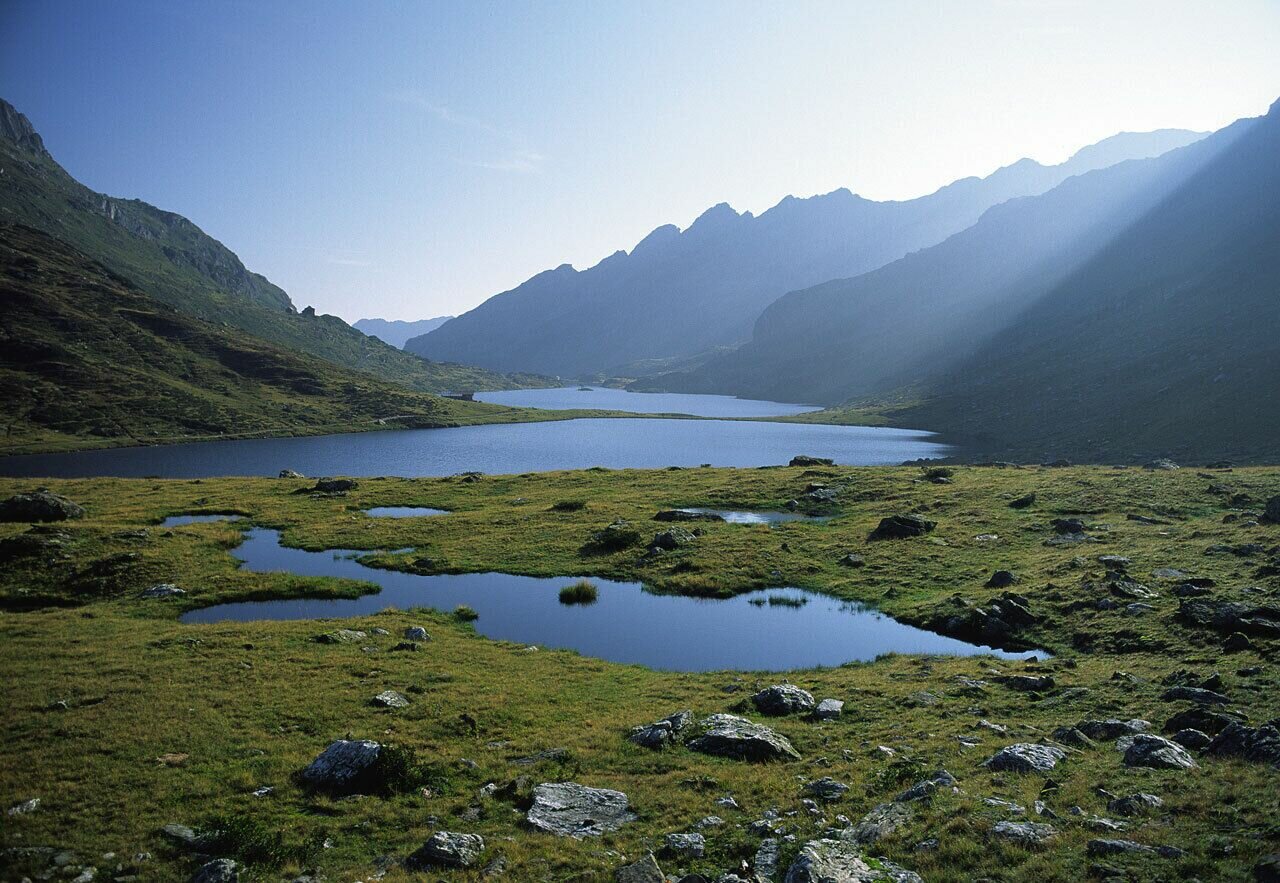
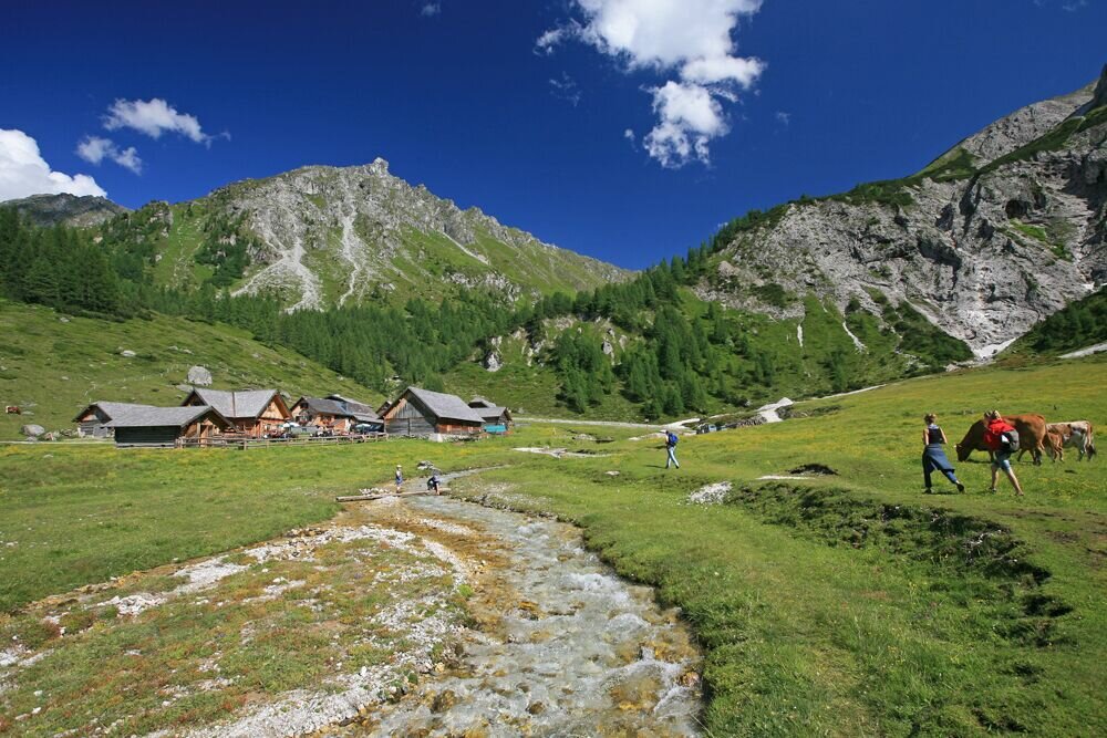
Beautiful hike around the summits of Steirische and Lungauer Kalkspitze. The limestone of these 2 mountains lies inmidst the primitive rock of the Schladming Tauern range and gives a special feature to this hike. Along the route you encounter Giglachseen Lakes and Oberhüttensee Lake as well as Giglachsee Hütte, Oberhütte and Ursprungalm chalets as refreshment stops.
The landscape is characterised by limestone and dolines (typical karst phenomena), which bring along unique flora. Moreover, the Giglachseen Lakes and Oberhüttensee Lake give the special appeal to this tour.
Fotogalerie
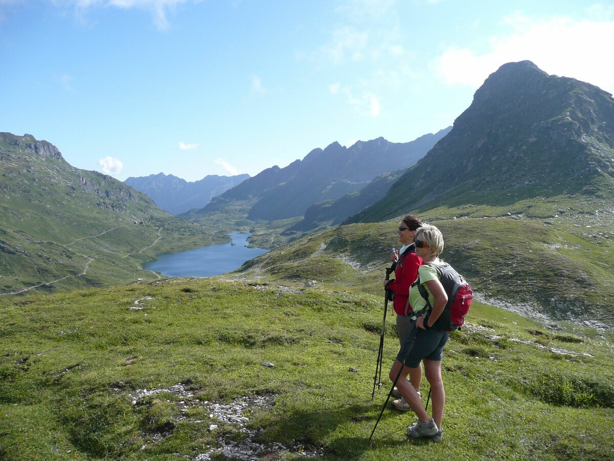
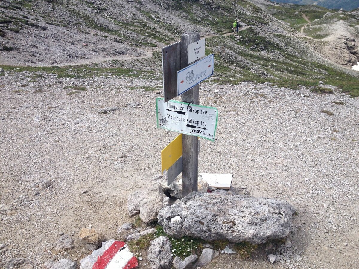


From the Ursprungalm chalets you take trail n° 711 via Rinderfeld and Preuneggsattel mountain saddle to Giglachsee Hütte chalet at the Giglachseen Lakes. From here you follow trail n° 702 in wide bends to the Znachsattel mountain saddle and further on to the Akarscharte ridge. From here you can make an ascent to Steirische or Lungauer Kalkspitze (additional walking time approx. 1 hour for each).
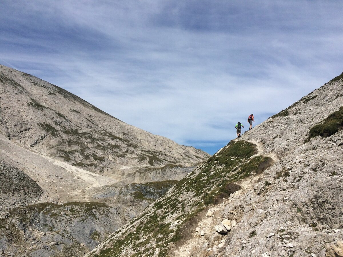
From Akarscharte you follow trail n° 702 downhill to Oberhütte chalet. Follow the route no. 702 downhill from the Akarscharte to Oberhüttensee Lake. After the Akarscharte you walk through an interesting landscape: crevasses, rounded hunchbacks line up and the light rock in the middle of the primary rock forms the surrounding mountains shows a “limestone-window” in the prehistoric rocks. You descend for approximately 500 meters (altitude level).
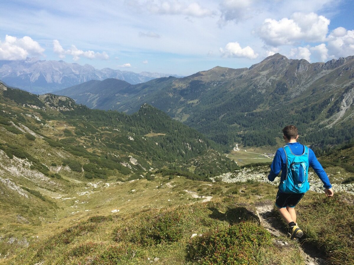
Oberhüttensee Lake and its hut make a lovely resting place, before you continue to Ursprungalm chalets via Brotrinnl and a 200 m ascent (steady-footing) and then descend via the Kranzlhöhe heights on a narrow path through the charming landscape to the Ursprungalm.
Alternatively you can drive into Preuneggtal valley from Schladming via Rohrmoos. From Schladming you take provincial highway L722 through Rohrmoos and after about 6 kms you turn off right into Hohenbergstraße road. This road will also take you to Strickbrücke road. From here follow the directions as described above.
- Buses of Planai-Hochwurzen-Bahnen: www.planaibus.at
Be careful on the ascent to Brotrinnl - lose rocks and soil. Surefootedness, a head for heights and alpine experience required!
Changes in weather patterns, quick falls in temperature, thunderstorms, wind, fog and snow are some of the dangers that can be encountered on a hiking tour. Hosts of alpine huts and mountain refuges have a lot of experience in the mountains and can give good advice about weather and the trails. Poor equipment, overestimation of one's own capabilities, carelessness, poor personal constitution and/or wrong judgement can lead to critical situations. In case of thunderstorms: avoid summits, ridges and steel ropes.
GPS data and orienteering
Available GPS data - just like hiking maps - is only a guidance for orientation and can never depict a trail exactly with all its details. Especially at dangerous spots it is essential to judge on site how to proceed.
In an emergency please call:
- 140 - for Alpine emergencies (all over Austria)
- 112 - European GSM emergency number
Tourist information: www.schladming.com
Information about bus schedules:
360° drone images
Get yourself an overview with our 360° drone images:
- View over Giglachkar cirque: https://vonoben.schladming-dachstein.at/sommer/index.php?S=307
- Giglachseen and Kalkspitzen summits: https://vonoben.schladming-dachstein.at/sommer/index.php?S=308
- Hiking map Schladming, 1:25.000, available at the tourist office Schladming.
- Hiking map Schladming-Dachstein, 1:50.000, available at the tourist office Schladming.
- Hiking Guide Schladming-Dachstein von Herbert Rafalt, available at the Info office Schladming (only in German)


