World Cup Trail Planai
open Themed walks · Schladming
Gallery
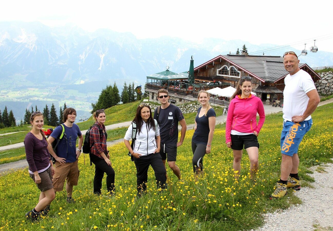
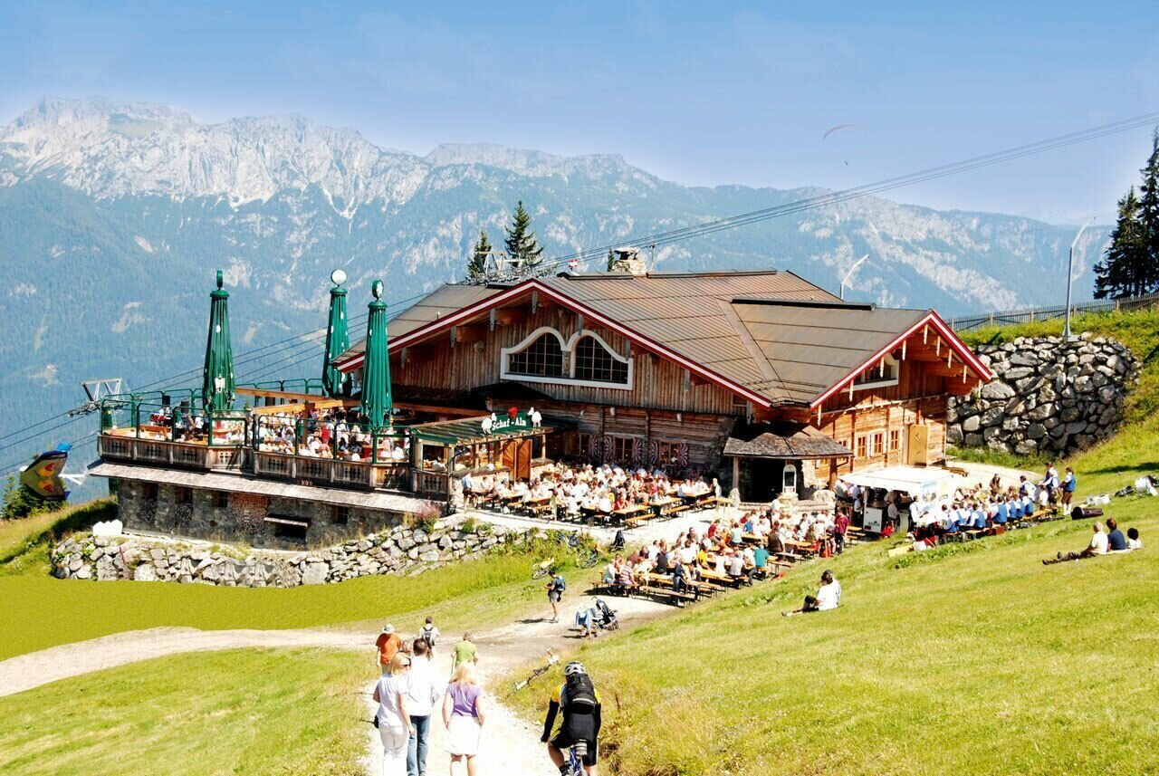


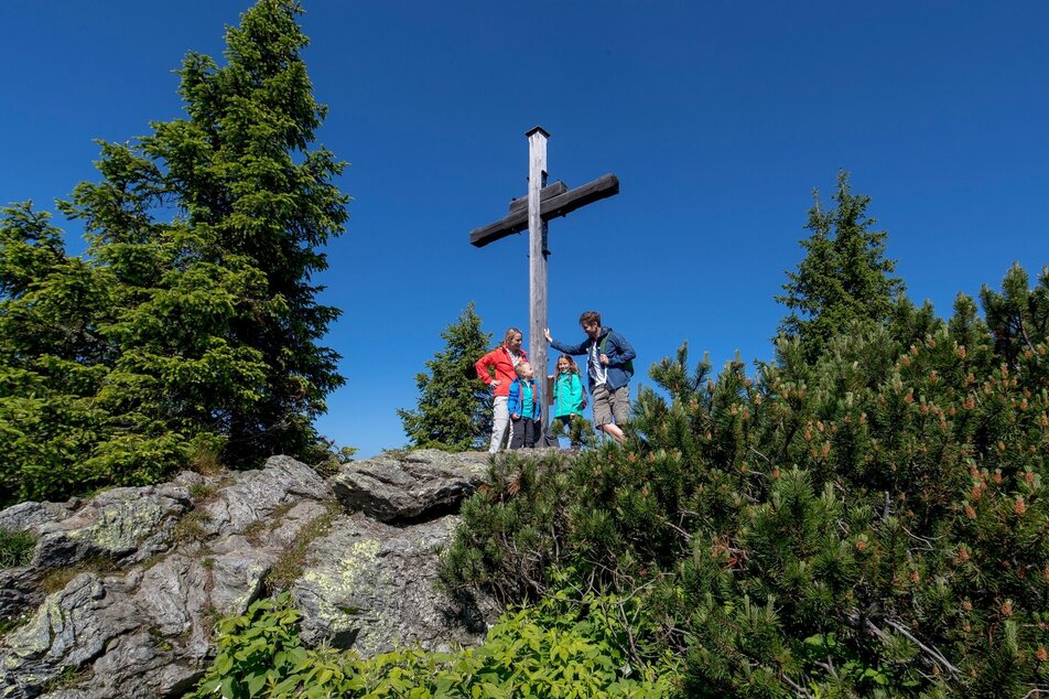
Wenn Du möchtest, wanderst Du noch kurz auf den Gipfel der Planai (ca. 10 Minuten bergauf), bevor Du von der Bergstation der Planai-Gondelbahn auf dem Weg #779 talwärts startest. Vorbei an der Schafalm geht es auf dem schön angelegten Weg über einige Serpentinen zum Bergrettungshaus und dem Hopsiland am Lärchkogel. Kurz durch den Wald und dann entlang der FIS-Abfahrt gelangst du zum Startbereich der Ski-WM-Abfahrt der Herren.
Weiter talwärts geht es abwechselnd durch Waldstücke und entlang der FIS-Abfahrt der Planai. Etwas unterhalb des Bruckmoos Speicherteiches querst du die FIS-Abfahrt und wanderst danach im Wald weiter bis du die Lärchkogel-Skiabfahrt erreichst. Hier zweigst du vom Weg Nr. 779 in Richtung Planai-Mittelstation ab. Nach einigen Minuten und einigen Serpentinen erreichst du dann die Mittelstation der Planai Gondelbahn, wo sich die Starts der WM-Super-G-Rennen befinden.
Von der Mitte ins Tal
Ab der Mittelstation folgst du dem Weg Nr. 53 und wanderst durch den Hochwald am Fastenberg weiter zu Tal bis zum Breilerhof. Vom Breilerhof wanderst du kurz entlang der Straße - vorbei an der Holzwerksträtte Schrempf - bis zur Planaistraße. Du überquerst nacheinander Planaistraße und Fastenbergweg und wanderst ein kurzes Stück durch den Wald bis du den Harreiterweg erreichst. Vorbei an der Holzhackerstube wanderst du unterhalb der WM-Abfahrt durch einen Tunnel. Etwas oberhalb von dir befinden sich die Startpunkte der WM-Riesentorläufe.
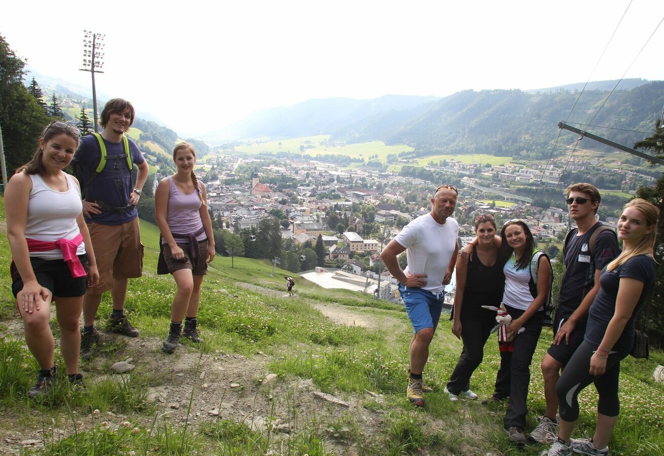
Kurz nachdem der Harreiterweg in eine Waldpassage kommt, zweigst du rechts auf den Wanderweg ab und kürzt somit eine Serpentine des Harreiterweges ab. Nochmals kurz entlang des Weges und dann links weiter auf dem Weg Nr. 53, der dich weiter Richtung Schladming führt. Nach einem ca. 20-25-minütigen Abstieg durch den Wald erreichst du einen schönen Aussichtspunkt direkt neben dem Zielhang der Schladminger Planai. Hier bietet sich ein schöner Blick auf den Zielbereich der WM-Rennen und des legendären Nightrace sowie über die schöne Bergstadt Schladming.
In nur wenigen Minuten wanderst du über den breiten Schotterweg zur Berggasse in Schladming. Du folgst dieser nach rechts und zweigst nach ca. 300 m rechts in die Schießstattgasse ab, die direkt ins Planai Stadion führt.
Wegbeschaffenheit
Der Weg ist zum Großteil ein zumindest 1 m breiter, geschotterter Wanderweg.
In the town of Schladming you can take the Citybus. From Rohrmoos take the Planai buses to Planet Planai, from Ramsau take the buses of Ramsauer Verkehrsbetriebe.
- Citybus and buses from Rohrmoos - www.planaibus.at
- Buses from Ramsau - www.rvb.at
From there take the Planai cable-car to the top.
- Operating times of Planai cable-car: www.planai.at
Changes in weather patterns, quick falls in temperature, thunderstorms, wind, fog and snow are some of the dangers that can be encountered on a hiking tour. Hosts of alpine huts and mountain refuges have a lot of experience in the mountains and can give good advice about weather and the trails. Poor equipment, overestimation of one's own capabilities, carelessness, poor personal constitution and/or wrong judgement can lead to critical situations. In case of thunderstorms: avoid summits, ridges and steel ropes.
GPS data and orienteering
Available GPS data - just like hiking maps - is only a guidance for orientation and can never depict a trail exactly with all its details. Especially at dangerous spots it is essential to judge on site how to proceed.
In an emergency please call:
- 140 - for Alpine emergencies (all over Austria)
- 112 - European GSM emergency number
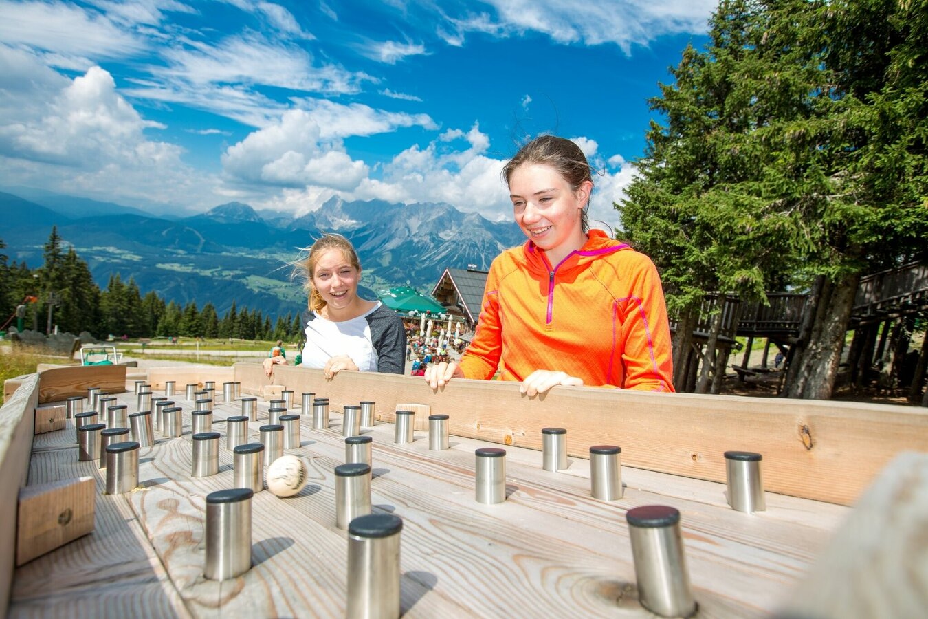
Für einen Tag auf der Planai und die Wanderung auf dem WM-Pfad unbedingt einen ganzen Tag einplanen: rund um den Gipfel warten zahlreiche weitere Attraktionen wie der Planai Panorama-Rundweg, das Hopsiland Planai, ein Hochseilgarten und natürlich jede Menge Schmankerl bei den Hüttenwirten.
Tourismusinformation: www.schladming.com
Infos über Busverbindungen: www.planai.at, www.rvb.at
Infos zu Gondelbetriebszeiten: www.planai.at
- Wanderkarte Schladming, 1:25.000, erhältlich im Tourismusverband Schladming.
- Wanderkarte Schladming-Dachstein, 1:50.000, erhältlich im Tourismusverband Schladming.
- Schladming-Dachstein Sommererlebniskarte "WEST", erhältlich in den Infobüros der Region.


