Wild Waters Family Hike
Water hikes · Schladming
Winter closure of the road from the Gasthof Weiße Wand. Blocked until April 30, 2024.
Note: The yellow hiking trail signs are generally only valid in summer. Exceptions are direction boards with the “Winter Walking” icon. Otherwise, winter paths have their own signage.
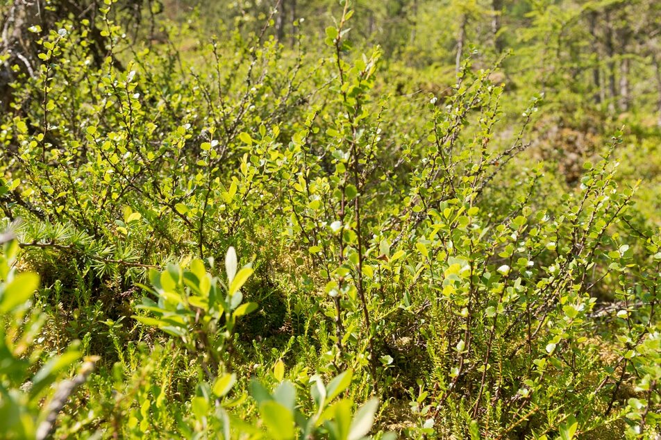
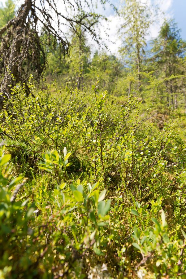
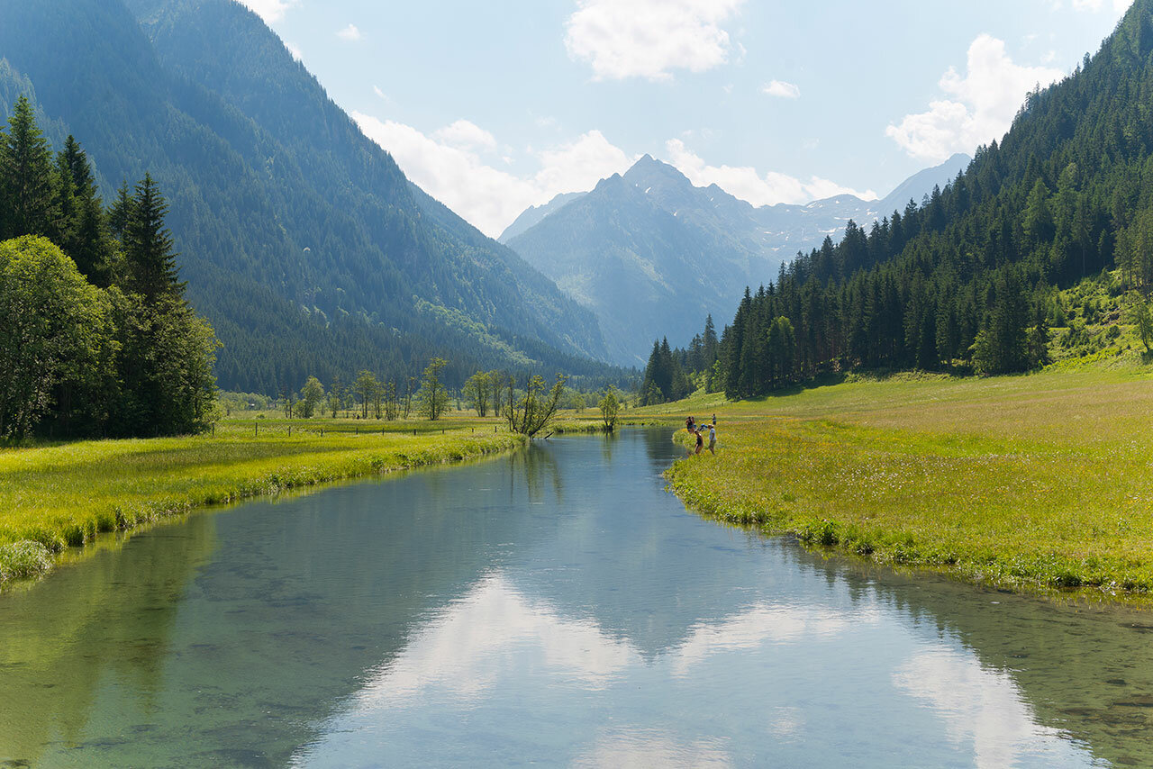
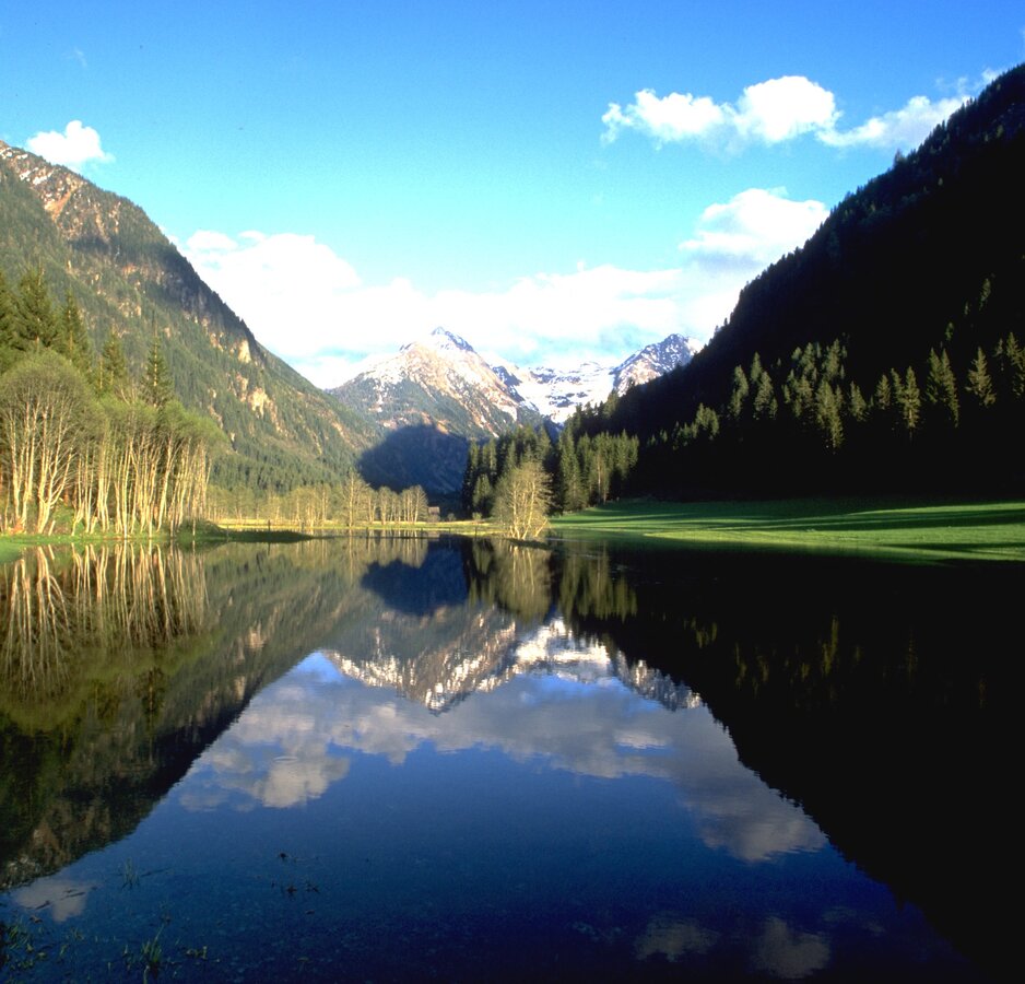
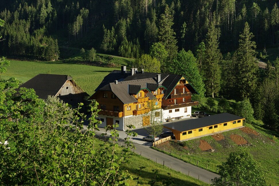
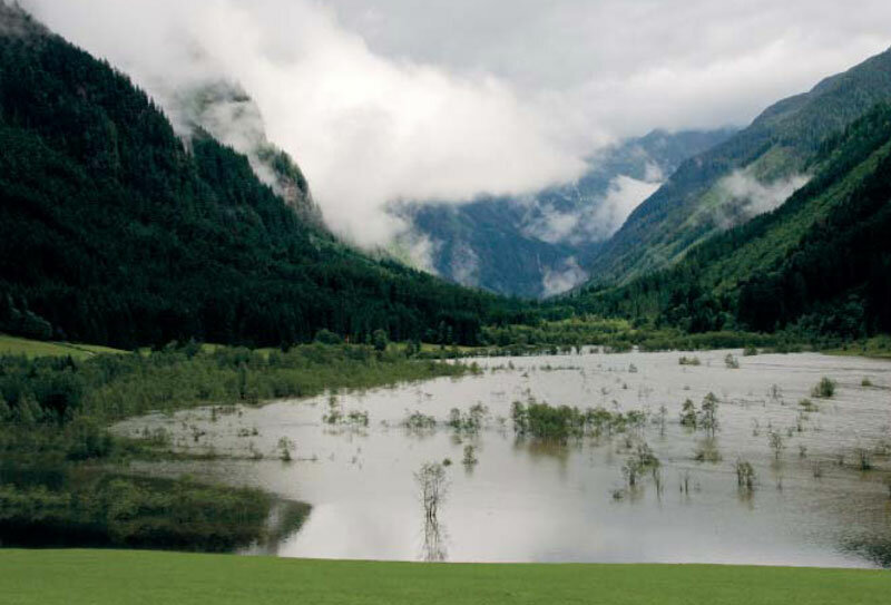
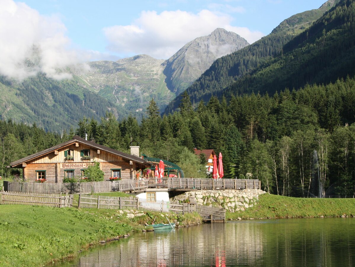
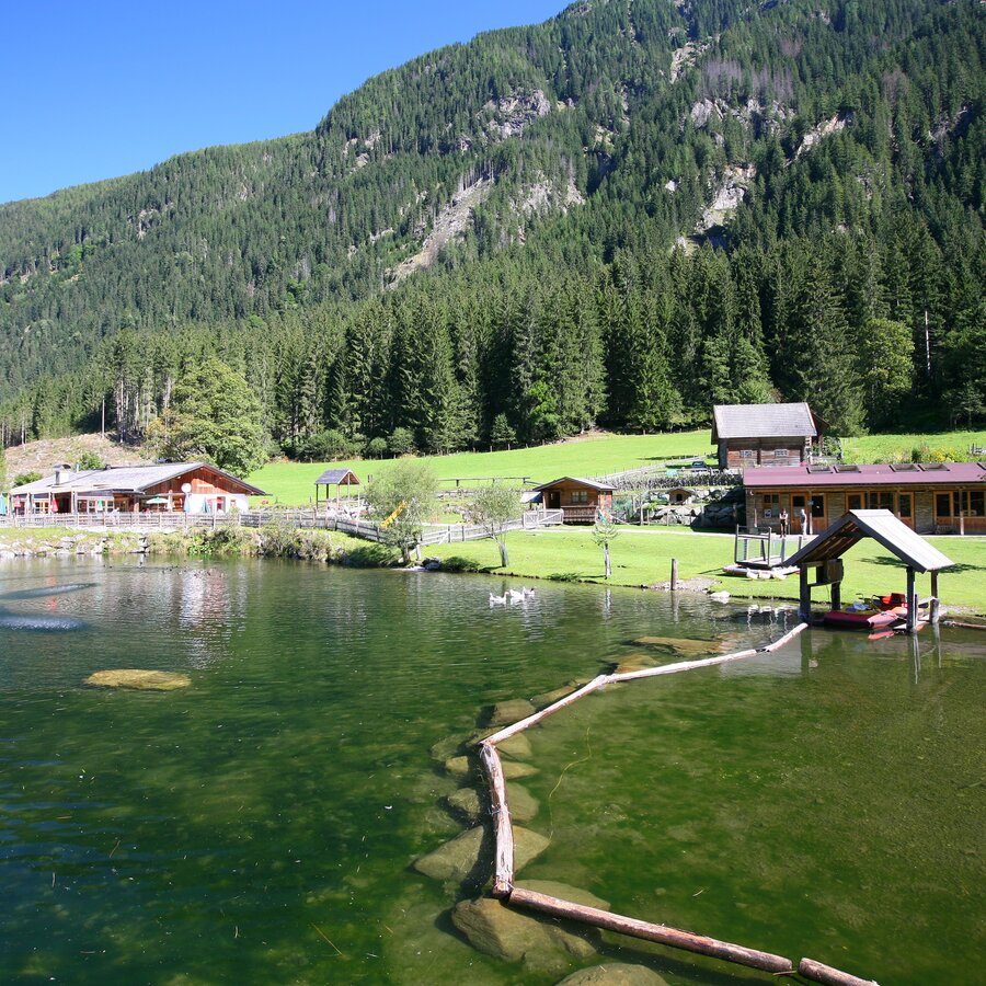
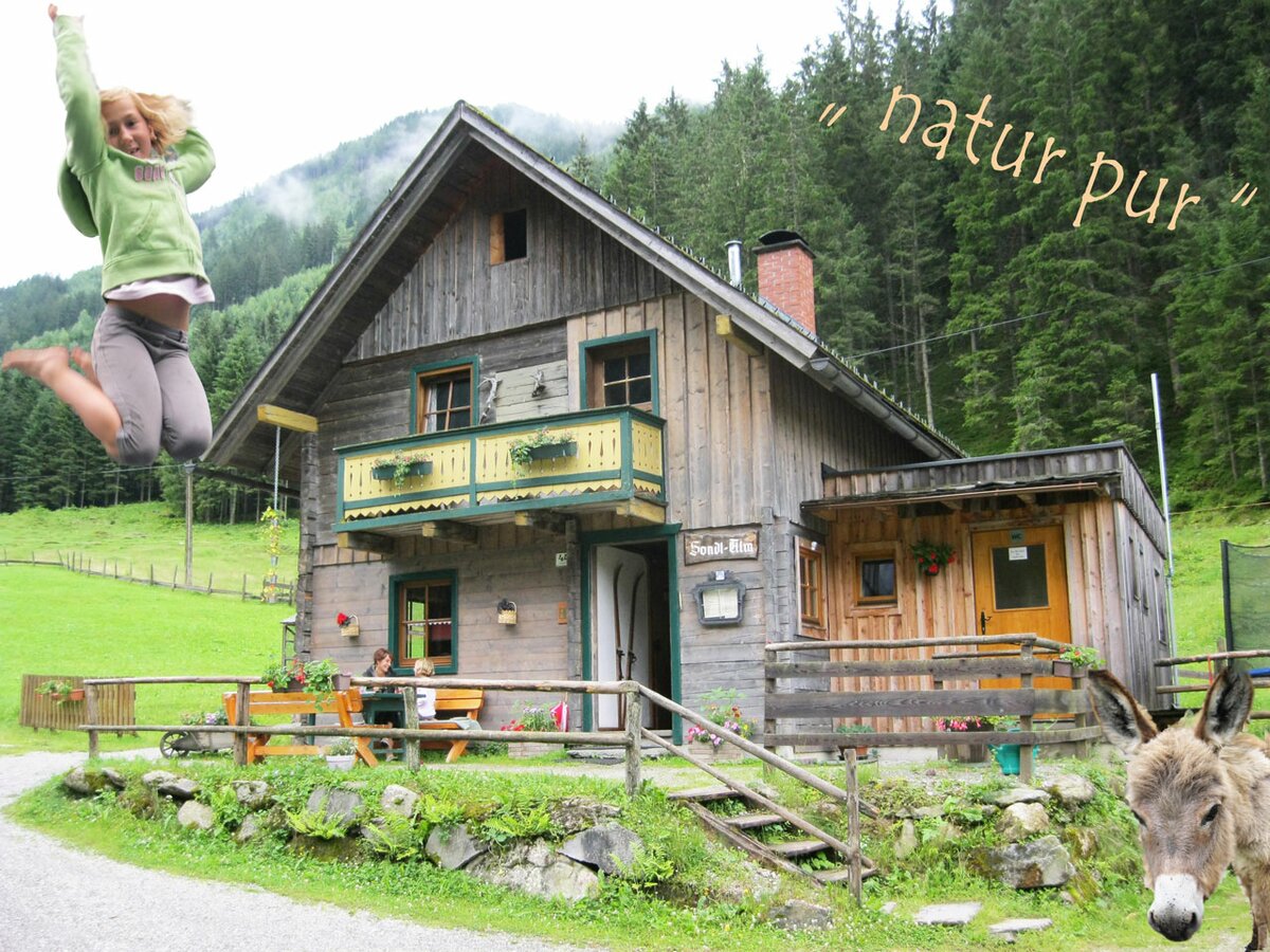
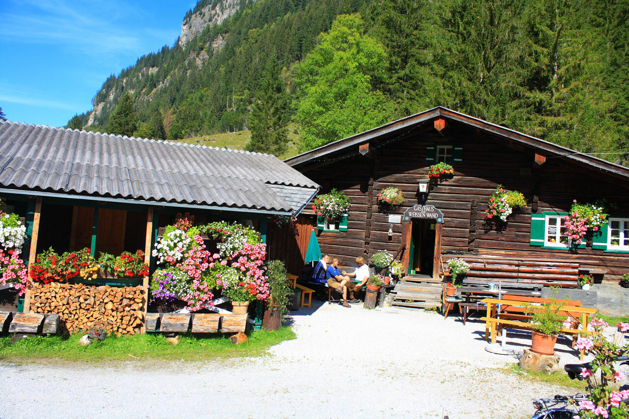
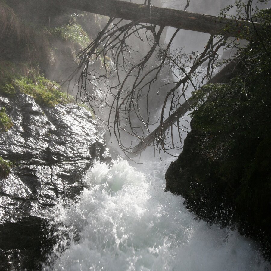
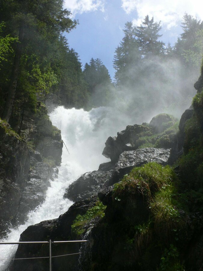
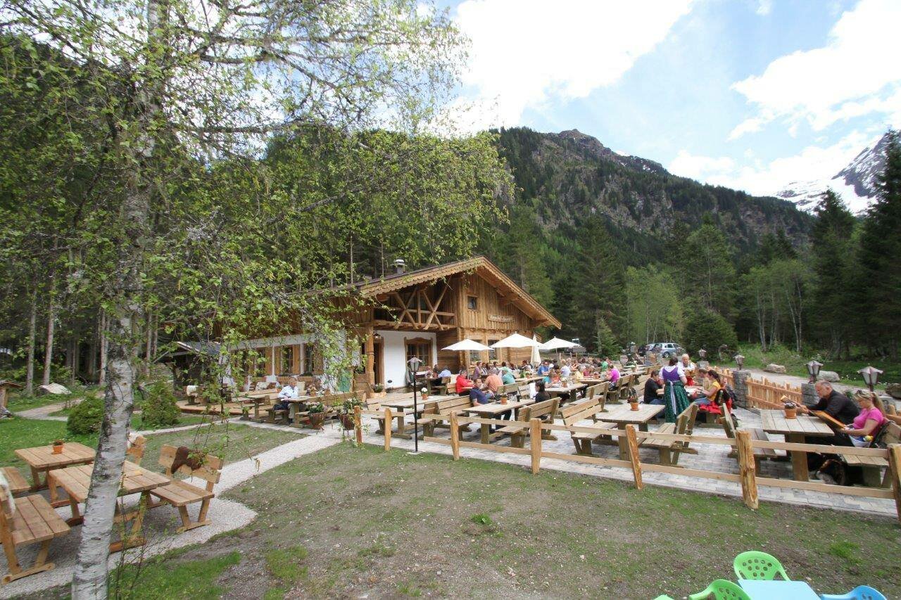
From Hinkerbrücke car park, you will walk towards Gasthof Tetter. Above Tetter moor you will encounter many info points relating to the water theme, finally coming to the Waldhäuslalm, a fun place for adults and children with a fish pond and a big playground. Just a few meters further and you can cross the stream, now following a charming path between the water and the forest to the rustic Sondlalm, where there are animals to pet including rabbits, hens and goats. A detour to Gasthaus Weiße Wand (ca. 200 m away) is also rewarding, especially since mini mountaineers get to give climbing a try. The variety-packed, family-friendly path now leads you to the finish of this stage, the Seeleiten car park at Riesach Waterfall. This is also the trailhead for the next stage, the alpine trail ››Höll‹‹.
Highlights:
- Toteisboden and Tetter moor nature conservancies
- playgrounds at the inns Tetter, Waldhäuslalm, Sondlalm, Weisse Wand and Almgasthaus Riesachfall
- Riesach Waterfall
Gallery


Vom Parkplatz Hinkerbrücke rechts vor der Brücke in den Wald auf den Themenweg "Wilde Wasser". Schon nach wenigen Metern wartet das erste Highlight - das Naturschutzgebiet Toteisboden: das Steilhangmoor ist eine geologische Besonderheit im Untertal. Entlang des breiten Weges geht es weiter zum Tettermoor. Über die Brücke den Untertalbach queren - hier genießt du eine grandiose Aussicht auf das Moor - und zum Gasthof Tetter. Nahe der Untertalstraße wanderst du auf dem Wanderweg nun weiter zur Waldhäuslalm, nach der Du rechts wieder auf den Wanderweg direkt neben dem Bach abzweigst. Weiter durch einen Waldabschnitt und dann über die Wiesen rund um die Sondlalm folgst du dem Wanderweg Richtung Talschluss. Kurz nach der Sondlalm beim Wegkreuz rechts weiter (entlang der Straße kannst du in ca. 5 Minuten auch zum Gasthaus Weiße Wand wandern) und dem Themenweg Wilde Wasser bis zum Seeleiten Parkplatz und dem Almgasthaus Riesachfall folgen. Zurück über den selben Weg bzw. mit dem Wanderbus.
- Buses of Planai-Hochwurzen-Bahnen: www.planaibus.at
Changes in weather patterns, quick falls in temperature, thunderstorms, wind, fog and snow are some of the dangers that can be encountered on a hiking tour. Hosts of alpine huts and mountain refuges have a lot of experience in the mountains and can give good advice about weather and the trails. Poor equipment, overestimation of one's own capabilities, carelessness, poor personal constitution and/or wrong judgement can lead to critical situations. In case of thunderstorms: avoid summits, ridges and steel ropes.
GPS data and orienteering
Available GPS data - just like hiking maps - is only a guidance for orientation and can never depict a trail exactly with all its details. Especially at dangerous spots it is essential to judge on site how to proceed.
In an emergency please call:
- 140 - for Alpine emergencies (all over Austria)
- 112 - European GSM emergency number
- Tipp für alle Kinder: Im Rahmen des FamilienJOKER Schladming gibt es im Sommer jede Woche am Dienstag ein Kinderfest bei der Waldhäuslalm und - ebenfalls am Dienstag - Schnupperklettern beim Gasthaus Weiße Wand. Mit der "Sommercard" bist Du sogar kostenlos dabei! Infos dazu unter www.schladming-dachstein.at/familienspass
- Empfehlenswert ist es die "Kleine Riesachwasserfallrunde" anzuhängen. Vor dem Gasthaus Riesachfall zweigst Du links auf den Waldweg ab und bereits nach wenigen Schritten erreichst Du die Holzbrücke mit dem besten Aussichtspunkt auf den gischtsprühenden Wasserfall. Auf der anderen Brückenseite folgst Du dem Weg bis zur Forststraße, und erreichst nach insgesamt ca. 10 Minuten Gehzeit wieder den Parkplatz.
Tourismusinformation: www.schladming.com
Infos über Busverbindungen: www.planaibus.at
Website Wilde Wasser: www.wildewasser.at
- Wanderkarte Schladming, 1:25.000, erhältlich im Tourismusverband Schladming.
- Wanderkarte Schladming-Dachstein, 1:50.000, erhältlich im Tourismusverband Schladming.
- Magazin "Wilde Wasser", erhältlich im Tourismusverband Schladming.
- "Wandern - Laufen - Walken" - erhältlich beim Tourismusverband Schladming.


