Smelting Furnace Tour
tour.status.partially-opened Themed walks · Schladming
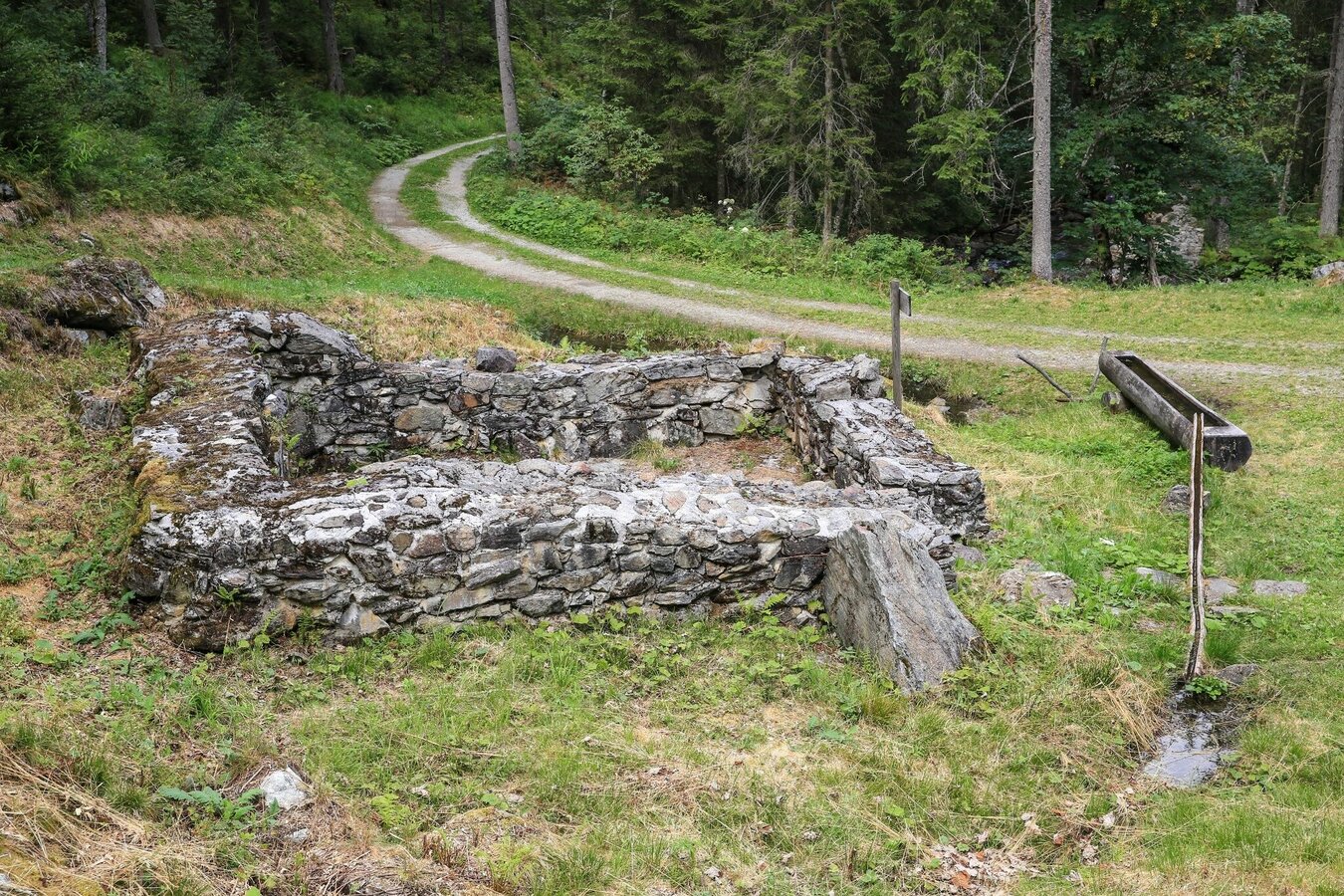
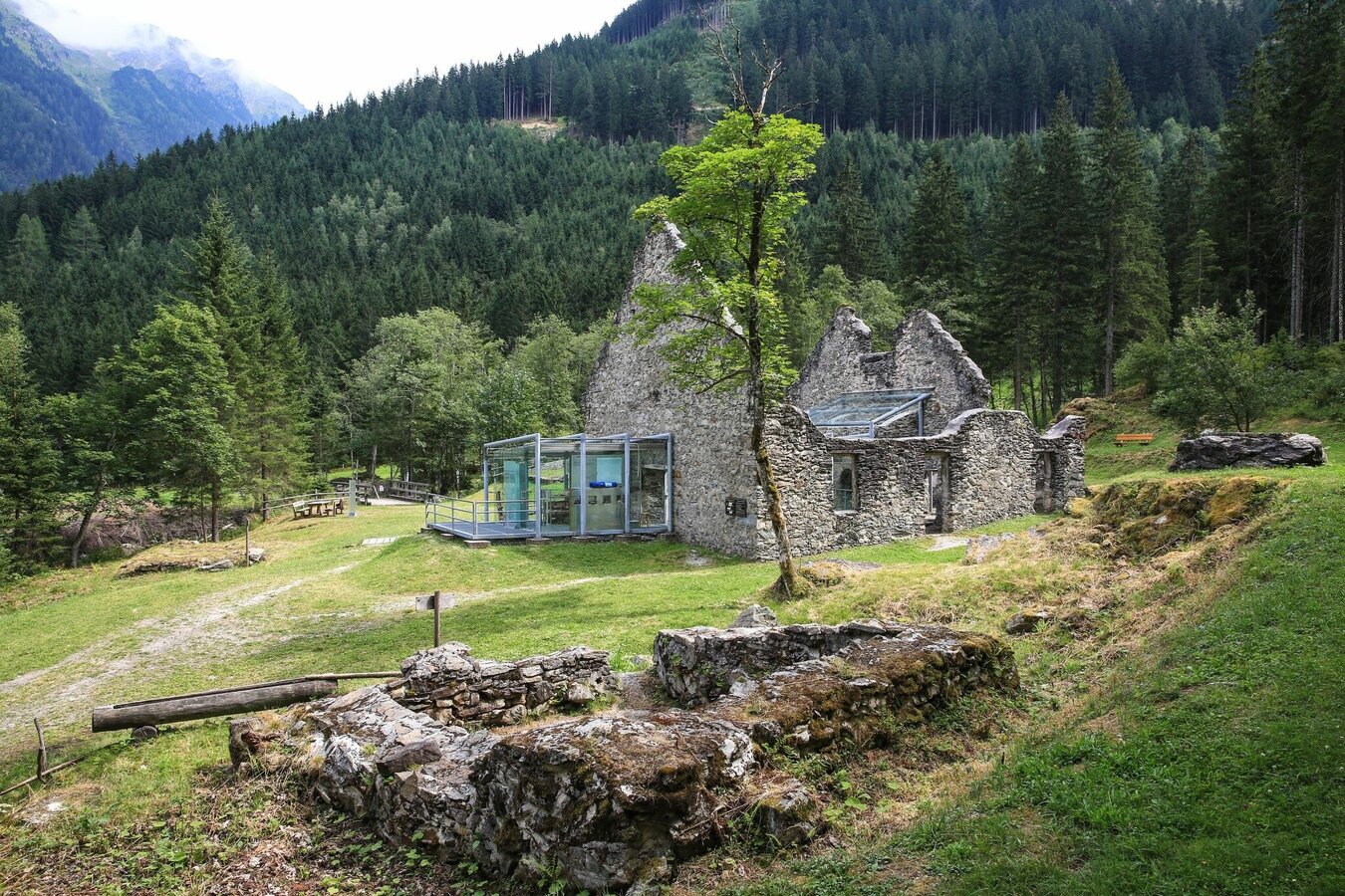
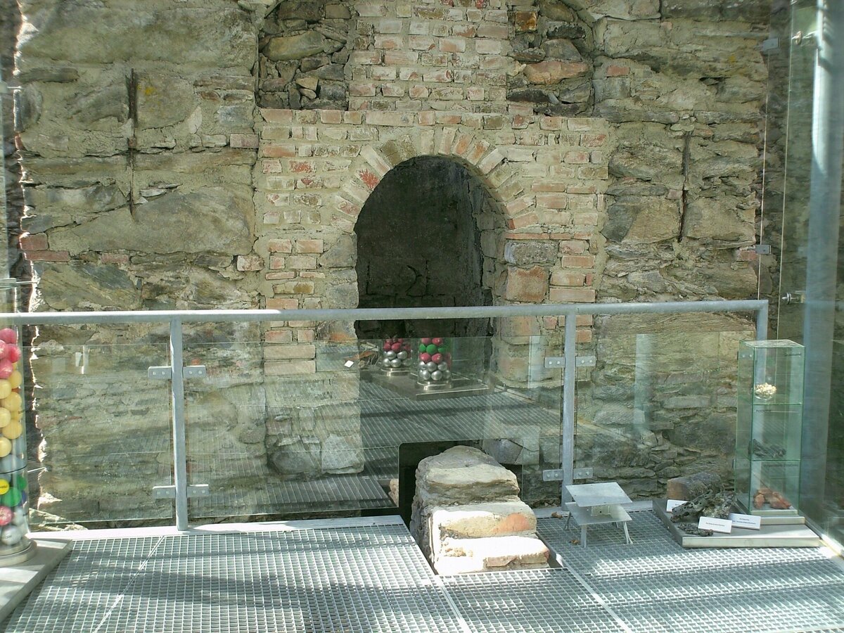
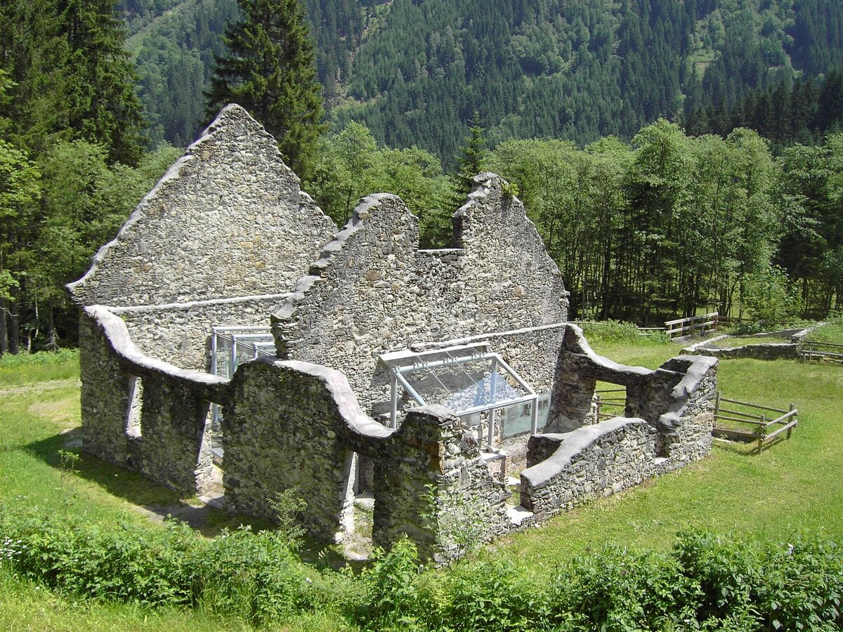
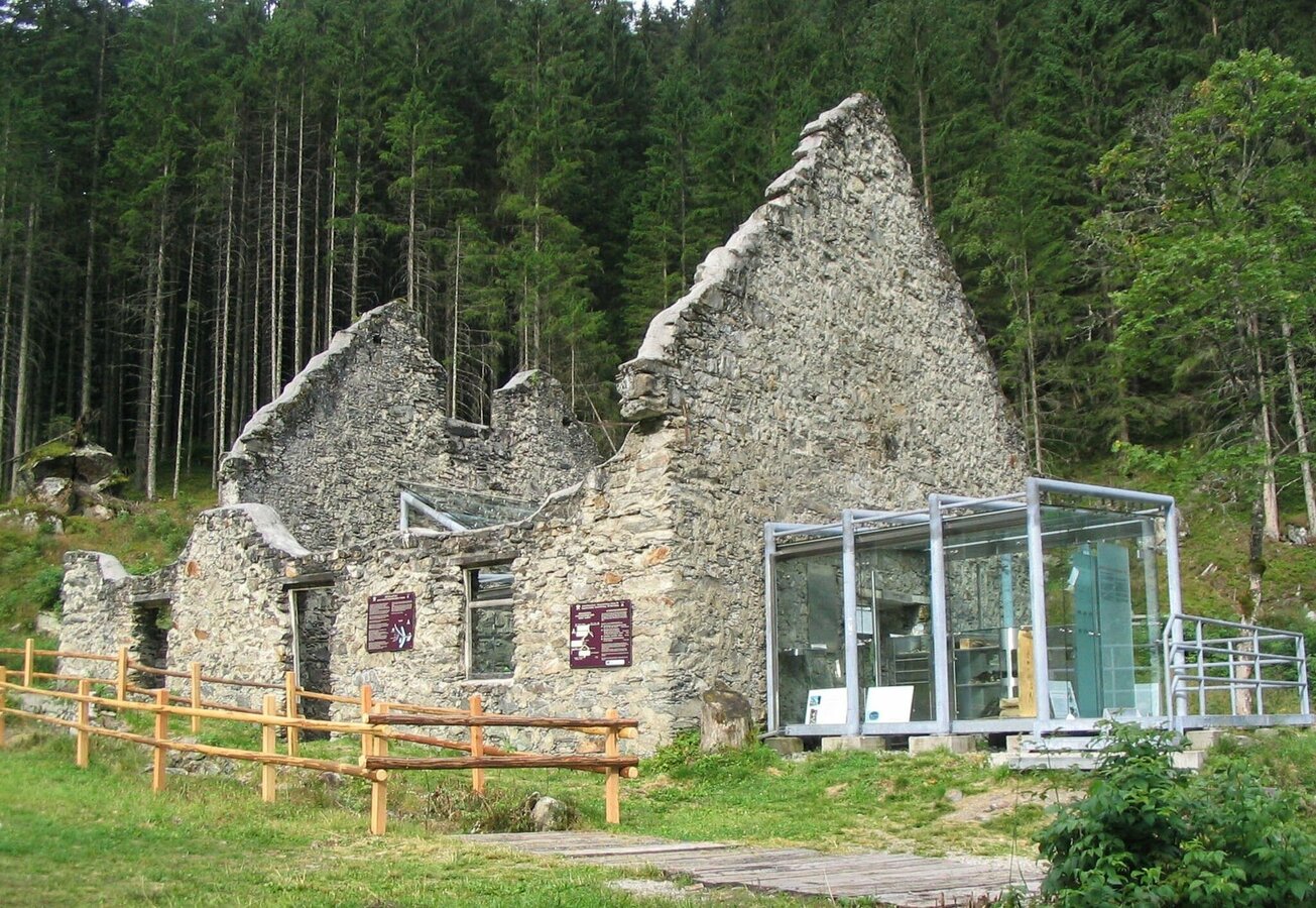
This easy tour, which is suitable for push-chairs, takes you from Wehrhofalm to the historic smelting furnace - Europe's last ruine of a melting furnace combined with a walkable glass cabinet. The smelting furnace is open to the public as "Nickel Museum" on Wednesdays and Fridays during the summer season.
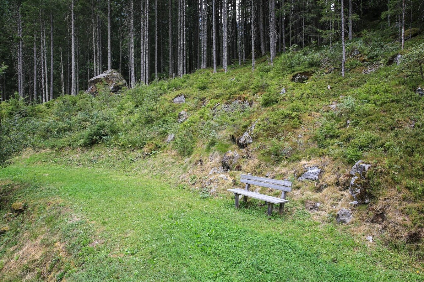
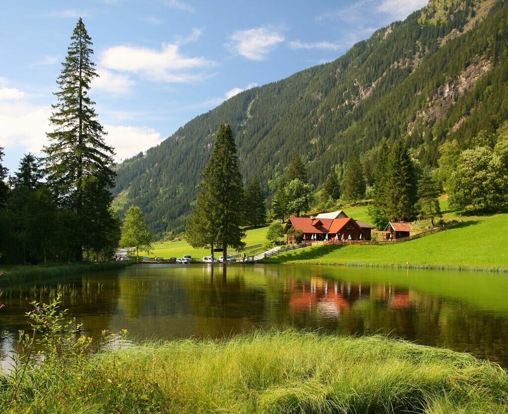
Gallery


Die Runde beginnt bei der Wehrhofalm. Gegenüber der Bushaltestelle überquerst Du die Brücke und wanderst dann den Forstweg nach links durch einen kurzen Waldabschnitt und danach am Waldrand entlang. Nach einer leichten Bergaufpassage zweigt dein Weg auf den Forstweg nach links hinuter und schon nach wenigen Minuten erreichst Du das Nickelmuseum.
Vom Museum wanderst Du am Forstweg zurück bis zur Wehrhofalm. Alternativ kannst Du gleich nach der beschilderten Forstweggabel rechts hinunter zur Obertalstraße abzweigen. Dort kurz die Straße taleinwärts bis zum Beginn der Schotterstraße. Nun zweigst Du links auf den Zufahrtsweg der Forstverwaltung Hirsch ab. Bei der kleinen Kapelle hältst Du dich links und wanderst an dieser vorbei talauswärts bis zum Teich an der Wehrhofalm, wo Du noch gemütlich einkehren kannst.
Wahlweise kannst Du die Runde auch beim Wanderportal Hopfriesen beginnen.
- Buses of Planai-Hochwurzen-Bahnen: www.planaibus.at
Some sections of the trail are very close to water (along the Obertalbach creek and passing the pond at Wehrhofalm). Special attention is required with smaller kids!
Changes in weather patterns, quick falls in temperature, thunderstorms, wind, fog and snow are some of the dangers that can be encountered on a hiking tour. Hosts of alpine huts and mountain refuges have a lot of experience in the mountains and can give good advice about weather and the trails. Poor equipment, overestimation of one's own capabilities, carelessness, poor personal constitution and/or wrong judgement can lead to critical situations. In case of thunderstorms: avoid summits, ridges and steel ropes.
GPS data and orienteering
Available GPS data - just like hiking maps - is only a guidance for orientation and can never depict a trail exactly with all its details. Especially at dangerous spots it is essential to judge on site how to proceed.
In an emergency please call:
- 140 - for Alpine emergencies (all over Austria)
- 112 - European GSM emergency number
A well-packed backpack is helpful and especially when touring Alpine terrain a tuque, gloves, a windproof jacket and pants are standard equipment. Good, waterproof shoes, sun glasses, sun cream and sufficient beverages are essential too. Torch light, a map of the area, knie and a small first-aid kit should also be in the backpack.
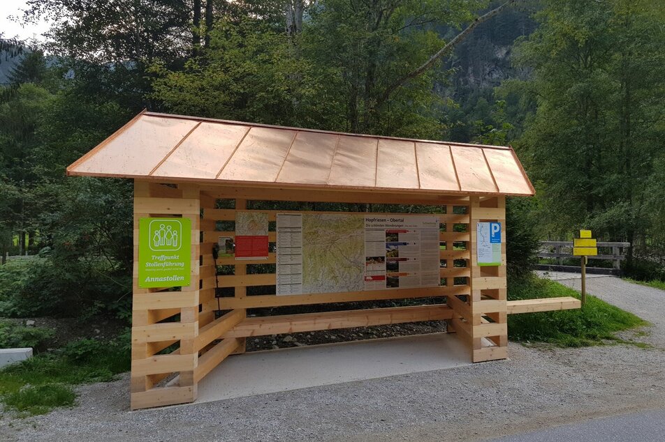
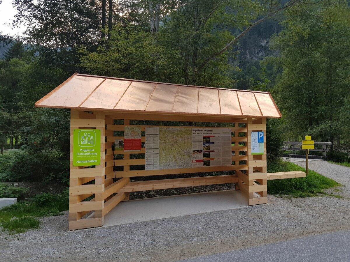
Im nahegelegenen Bergwerk in der Bromriesen werden Führungen im historischen Annastollen angeboten. Infos dazu im Infobüro Schladming oder auf www.wildewasser.at
- App-Store-Download "Story2Go Schladming"https://apps.apple.com/at/app/story2go-schladming/id1571490862
- Google-Play Download "Story2Go Schladming"https://play.google.com/store/apps/details?id=de.radiotourism.story2go.schladming&gl=AT
- Tourismusinformation:www.schladming-dachstein.at
- Infos über Busverbindungen:www.planaibus.at
Schladming-Dachstein Sommer-Erlebniskarte WEST, erhältlich in den Infobüros der Region Schladming-Dachstein


