Roßfeld Nature Path
Hiking · Schladming
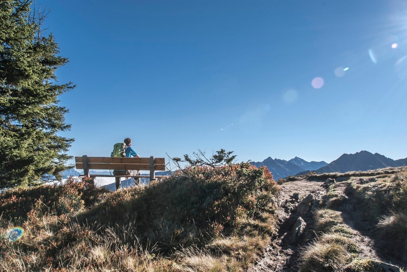
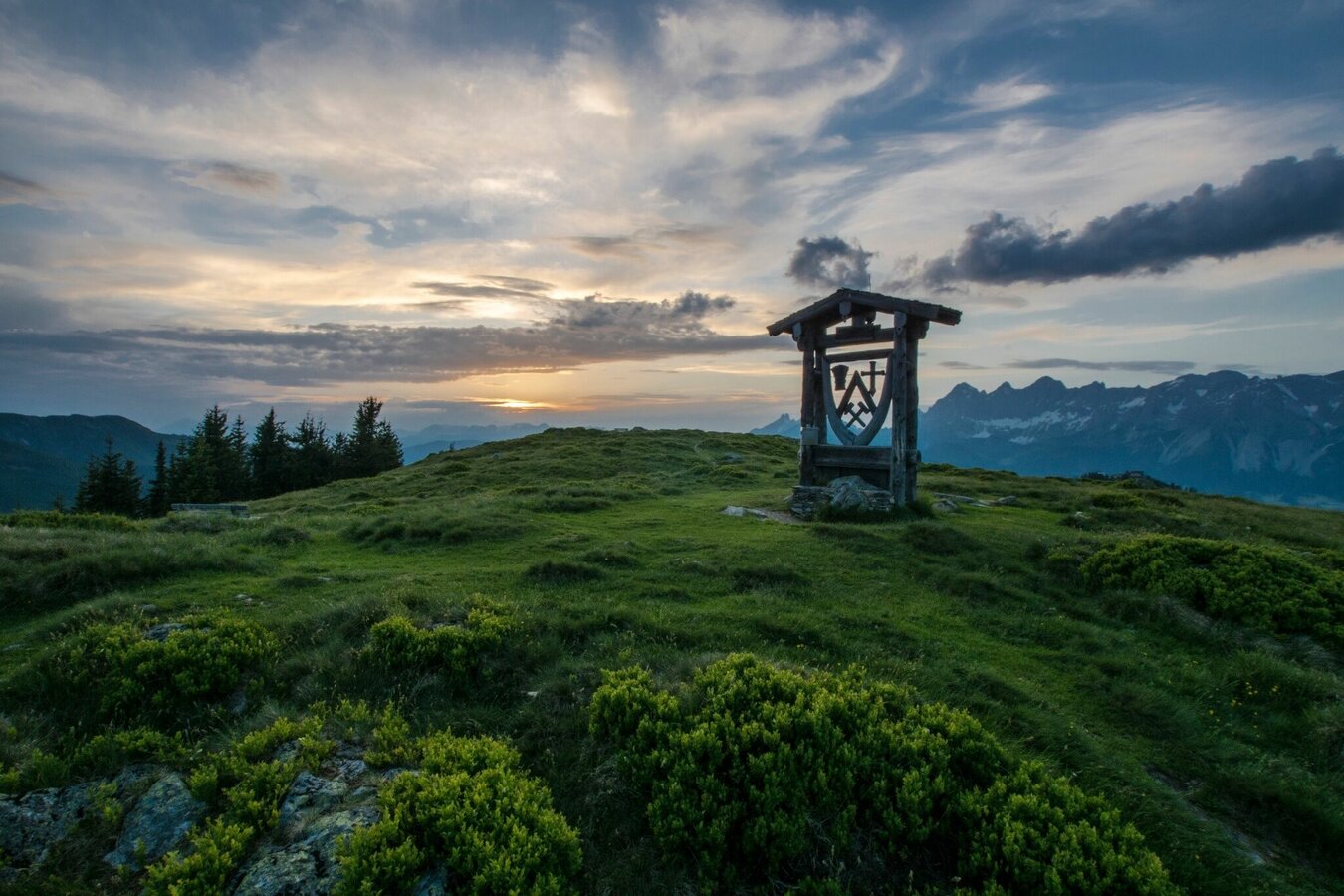
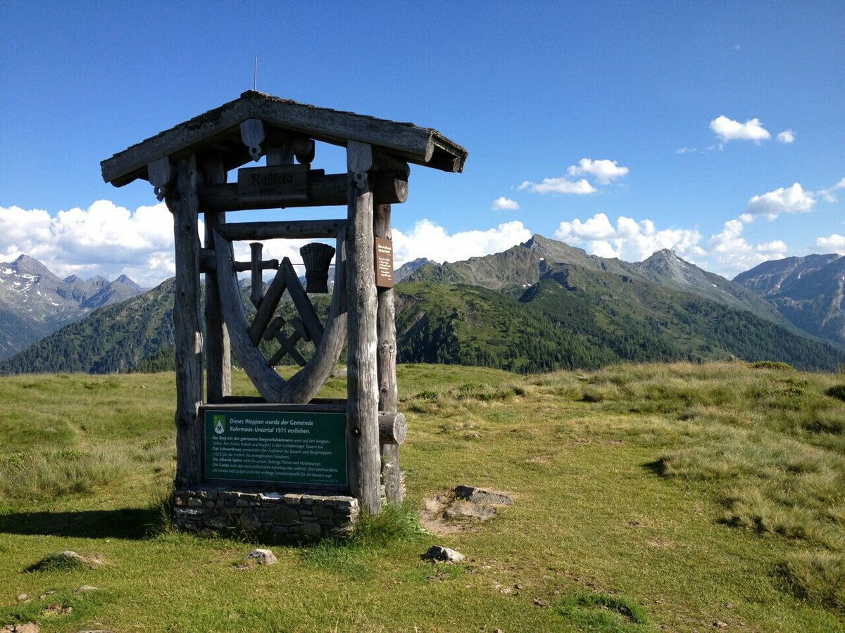
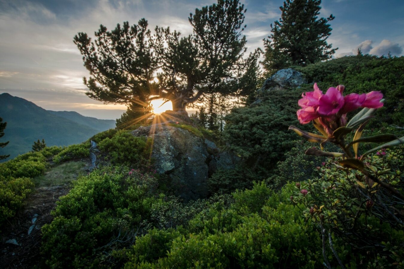
Roßfeld Nature Path teaches about Fauna and Flora of the region (in German only). It is an easy hike for people of every age. The wide and easy hiking trail first takes you down to Hüttecksattel mountain saddle and from there up to Roßfeld (meaning "steed meadow" or "steed fur"). The Roßfeld Nature Path is an extended variant of the "Bankerlweg" family trail. Up on the way to Roßfeld summit you pass by an 1000-year-old pine tree. On top the "summit sculpture" shows the coat of arms of Rohrmoos.
Gallery

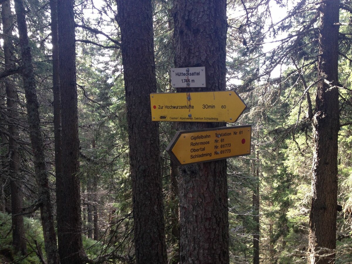
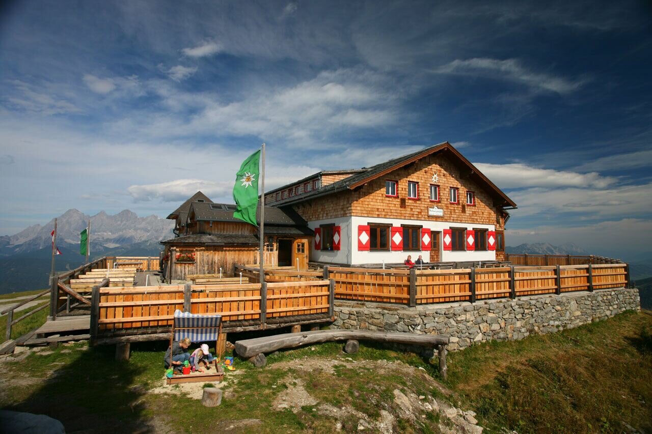


Vom Wanderportal auf der Hochwurzen (1.852 m) folgst du der Beschilderung Richtung Osten. Über 3 Kehren wanderst du zu Beginn über die Skipiste und gleich darauf unterhalb der Hochwurzenhütte zur Hochwurzenalm (die Hochwurzenalm im Sommer nicht bewirtschaftet). Vorbei an der Alm wanderst du über die „Kleine Wurzen“ (1.840 m) und steigst auf dem Wurzelsteig bis zum Hüttecksattel (1.744 m) ab.
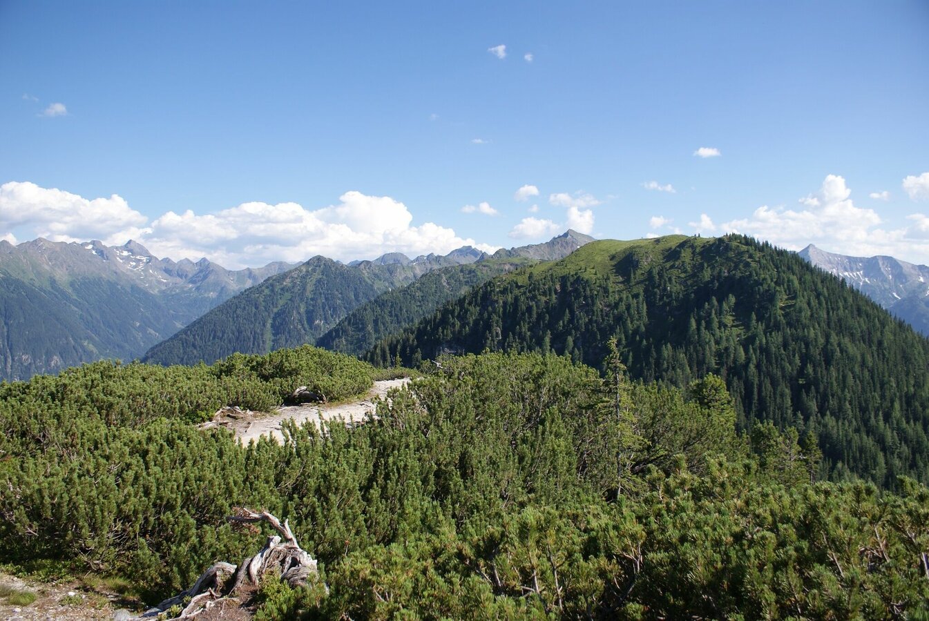
Über viele Kehren windet sich der schön angelegte Waldsteig nun auf das Roßfeld (1.919 m). Auf dem Weg informieren Schautafeln über Flora und Fauna der Region. Der Höhenrücken des Roßfeld liegt bereits über der Waldgrenze und gewährt herrliche Fernsichten. Danach wanderst du zuerst am selben Weg zurück. Auf dem Hüttecksattel angekommen, links auf den Waldweg abbiegen. Dort geht es weiter bis zu einer Forststraße, wo du von einem Hochstand schöne Ausblicke genießt. Kurz die Forststraße bergauf und du erreichst wieder den Wanderweg Richtung Hochwurzen.
Varianten:
Am Naturlehrpfad bieten sich auch zwei kürzere Varianten über den „kleinen Hochwurzenrundweg“ (ca. 30 Minuten) oder den „großen Hochwurzenrundweg“ (ca. 1 Stunde) an.
- Buses of Planai-Hochwurzen-Bahnen: www.planaibus.at
Changes in weather patterns, quick falls in temperature, thunderstorms, wind, fog and snow are some of the dangers that can be encountered on a hiking tour. Hosts of alpine huts and mountain refuges have a lot of experience in the mountains and can give good advice about weather and the trails. Poor equipment, overestimation of one's own capabilities, carelessness, poor personal constitution and/or wrong judgement can lead to critical situations. In case of thunderstorms: avoid summits, ridges and steel ropes.
GPS data and orienteering
Available GPS data - just like hiking maps - is only a guidance for orientation and can never depict a trail exactly with all its details. Especially at dangerous spots it is essential to judge on site how to proceed.
In an emergency please call:
- 140 - for Alpine emergencies (all over Austria)
- 112 - European GSM emergency number
Von der Hochwurzen kann man über die 7 km lange Hochwurzenstraße auf Mountain-Gokarts oder Sommer-Schlitten zu Tal braußen. Am besten gleich vor der Auffahrt mit der Gipfelbahn Hochwurzen bei den Anbietern neben der Talstation ein Ticket lösen und nach der Wanderung am Naturlehrpfad das Gokart/die Rodel statt der Gipfelbahn für die Talfahrt nutzen :)
Insider-Tipp:
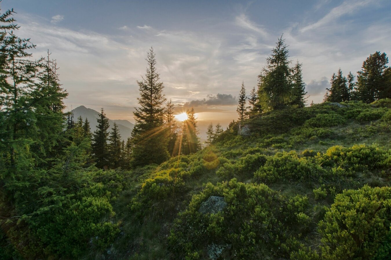
Einen Sonnenaufgang oder Sonnenuntergang am Roßfeld genießen! Einfach einzigartig und bewegend! Hierfür ist allerdings ein Auf- bzw. Abstieg über den Weg #61 (zum Hüttecksattel) oder Weg #773 (zum Latterfußsattel) - und von dort jeweils weiter zum Roßfeld - notwendig.
Tourismusinformation: www.schladming.com
Infos über Busse und Gondelbahnen: www.planai.at
- Wanderkarte Schladming, 1:25.000, erhältlich im Tourismusverband Schladming.
- "Wandern - Laufen - Walken" - erhältlich beim Tourismusverband Schladming.


