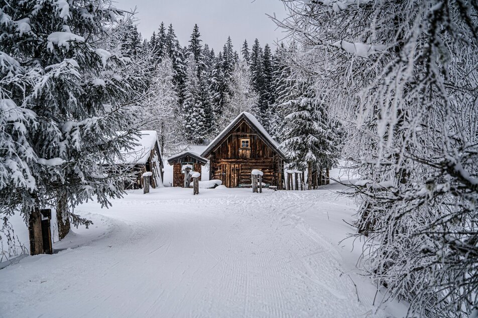
Rittis Trail
difficult closed Cross-country skiing · Ramsau am Dachstein
The route around the Rittisberg is certainly one of the most challenging trails in the Schladming-Dachstein region - especially with the long ascent on the west side of the Rittisberg back towards Ramsau Ort. Nature and adventure tour with many refreshment stops in rustic huts. The Rittisloipe is a classic trail. There is a narrow skating track that can also be used if you have the right skills.
Die Loipe entläüft entlang folgender Knotenpunkte:
Stadion - Kreitseiler - Helpferer - Rittisberg - Fischteich - Halseralm - Greimelbacher - Rittisser - Helpferer - Kreitseiler - Stadion
From the west:
Take the A10 to Knoten Ennstal - take the exit towards Graz/Schladming. Drive along the Ennstal-Bundesstraße for approx. 20 km until you reach Schladming. Take the turn-off for Ramsau. Continue to the village of Ramsau where the XC-stadium is located.
From the East/North:
Take the Pyhrnautobahn direction Liezen. Then follow the Ennstalbundesstraße to Schladming. Take the turn-off for Ramsau. Continue to the village of Ramsau where the XC-stadium is located.
With the buses of the Ramsau transport company from Schladming (also from the train station) to Ramsau-Ort.
Ramsauer Verkehrsbetriebe Timetable www.rvb.at
- Cross-country equipment with appropriate cross-country skis, sticks and boots.
- Warm, breathable clothing.
- Gloves, hood
- sunglasses
Alternative Einstiegsmöglichkeiten in Schildlehen/Hierzegg beim Parkplatz Auwirt oder beim Parkplatz Rittisberg.
Loipenplan Ramsau am Dachstein


