
Michelinghut
easy tour.status.partially-opened Hiking · Grimming-Donnersbachtal
Gallery
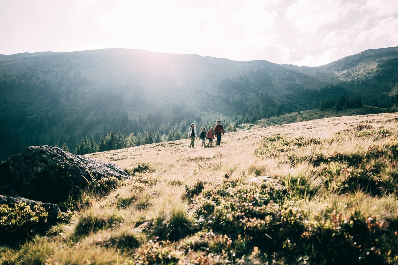
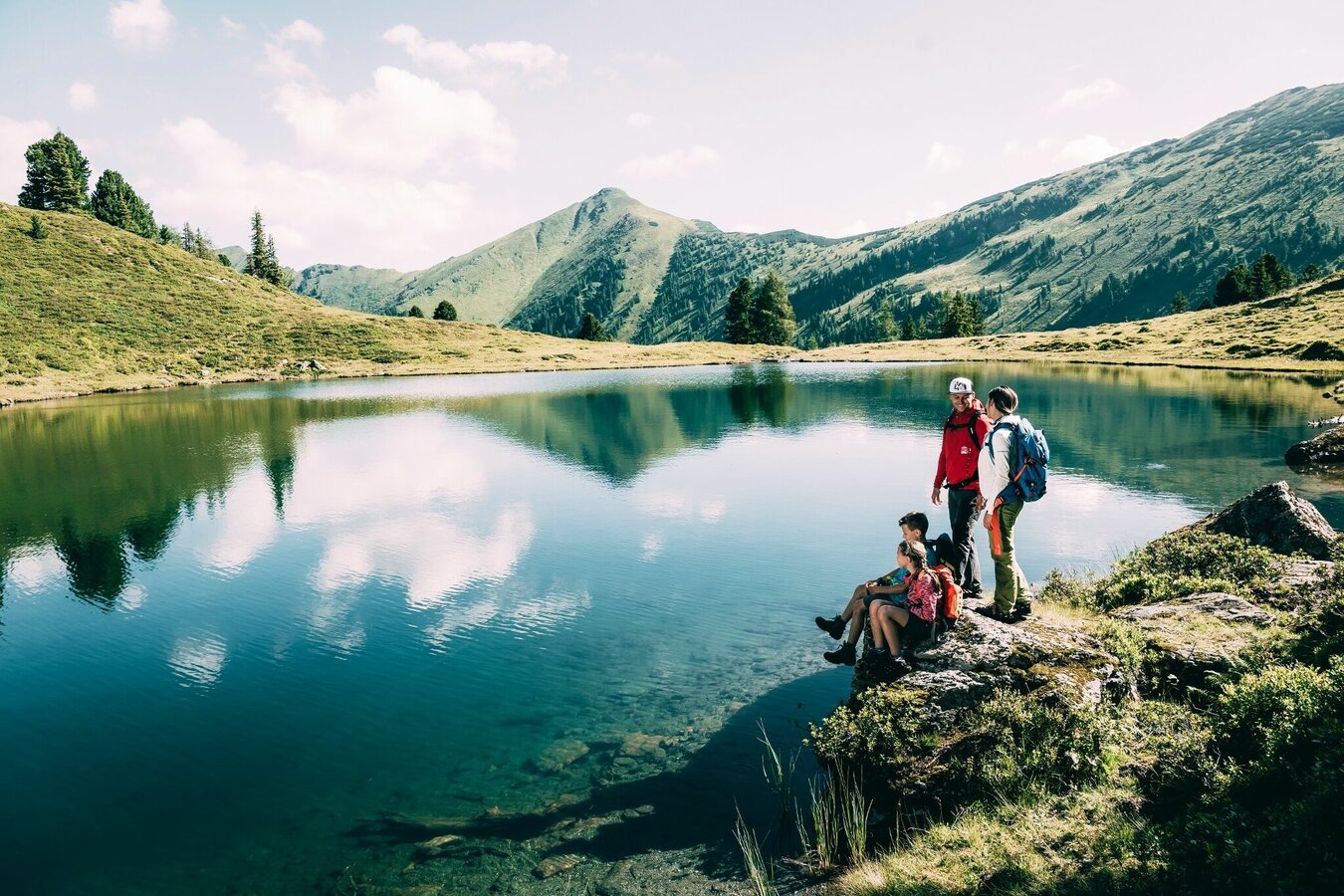


From the Michelirlingalm you have the possibility to continue hiking, to the right of the alp, first across a meadow, then over a steep path up to the Michelirlingsee (20 min). From there, turn right again in the direction of Hühnereck (30 min). The summit can already be seen from below.
To the left of the alpine pasture, after the plain, a path goes uphill in the direction of Schoberspitze (1 hr.).
Translated with www.DeepL.com/Translator (free version)
The next trainsation ,,Stainach-Irdning'' is away 22 kilometers.
- Plan your tour in advance, taking into account walking time, route length, altitude difference, danger spots and weather forecast.Together is much more beautiful and at the same time safer in the mountains.
- Do not go alone, if possible, and adapt the tour to the ability of your group.
- Let them know where you are going and when you want to be back. Also sign hut or summit books.
- Turn back in good time if the weather deteriorates. If you get caught in a thunderstorm, do not stay on the summit or ridge and stay away from individual trees. Wait out the storm, if possible in a crouching position.
- Stay on the marked trails and remember to close pasture fences again.
- Getting up the trail is only half the battle. Stay alert, especially on the descents, to make it back to the valley safely.In case of emergency, keep calm and call the mountain rescue on 140. If you have no reception, take out the sim card and dial 112.
- If you encounter cows: It is best to pass above the herd with at least 50 meters distance. Stay calm, don't make any frantic movements and don't run away. Do not imitate cow sounds and do not try to pet the animals. A stick and loud shouting can often make the animals turn back in an emergency.
- If you are a dog owner: Clarify before the hike if you have to cross a pasture. Keep your dog on a leash and make sure he stays calm. If a cow attacks, let the dog off the leash immediately. Never pick him up to defend him.
- You can get detailed information on "Safe Mountain Hiking" from the Alpine Club. At www.alpenverein.at you can inform yourself comprehensively about it.
Tourism blog: www.derbergdastal.at
Tourist Office Schladming-Dachstein
Ramsauerstrasse 756
8970 Schladming
T: +43 3687 23310
info@schladming-dachstein.at
Garbage on meadows and paths can not smell mountain and valley. Please take it with you. Agriculture and forestry are important partners for Berg und Tal. They allow you to walk and drive on many of their paths. Be aware that only good cooperation will guarantee your recreational enjoyment in the future.
- GRIMMING-DONNERSBACHTAL Leisure Map (1:31.000). Available free of charge at tourist offices and lodging establishments.
- SCHLADMING-DACHSTEIN Hiking Map (1:50.000)


