
Gindlorn & Marterl Trail from Pürgg
easy Hiking · Stainach-Pürgg
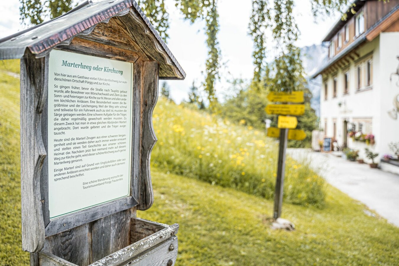
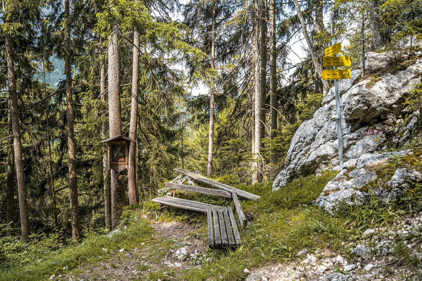
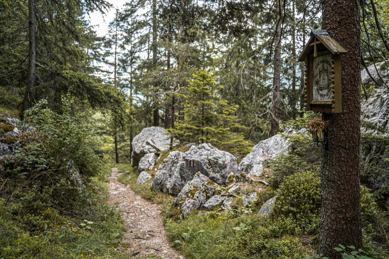
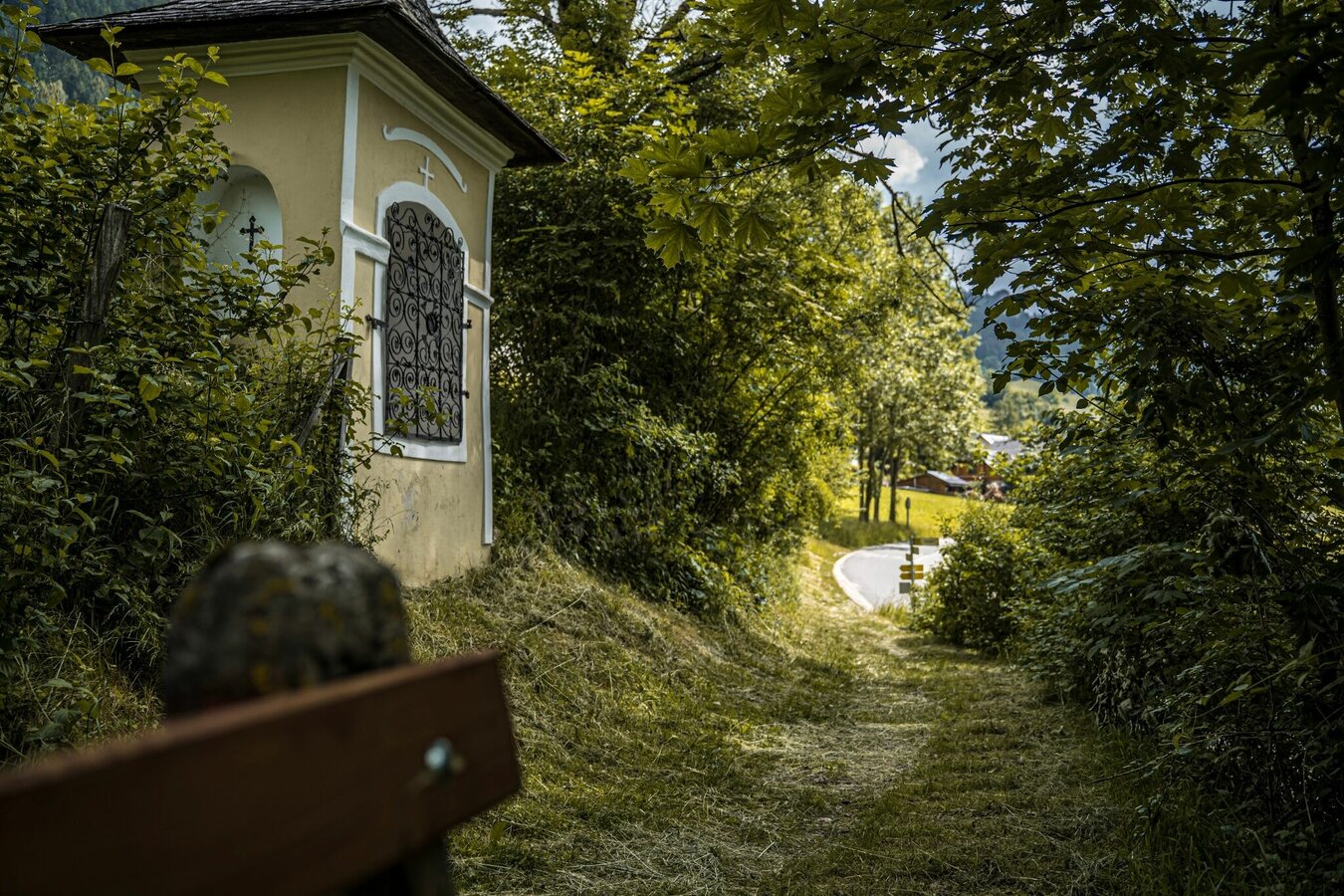
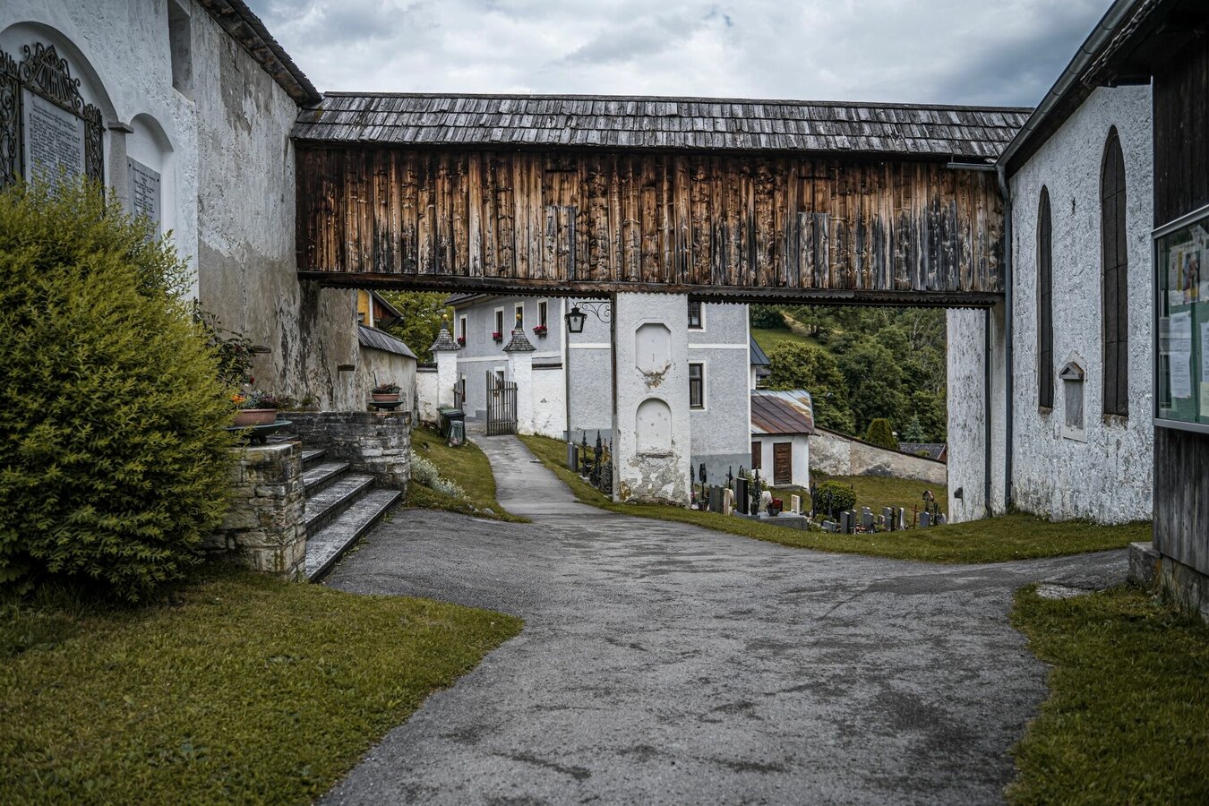
Moderately difficult hike with some steep passages from Pürgg to the Schröflalm and on the Gindlhorn. Wonderful views of Pürgg, Bad Mitterndorf, Wörschachwald and the Multereck await you. The picturesque Way to Marter along the old church path from Gasthof Dachsteinblick to Pürgg completes this beautiful hike. This path used to be used as a path to the church in Pürgg and the deceased were also transported from Wörschachwald to the cemetery in Pürgg, for example. Along the way you will repeatedly come across small wayside shrines that invite you to pause and linger.
Gallery
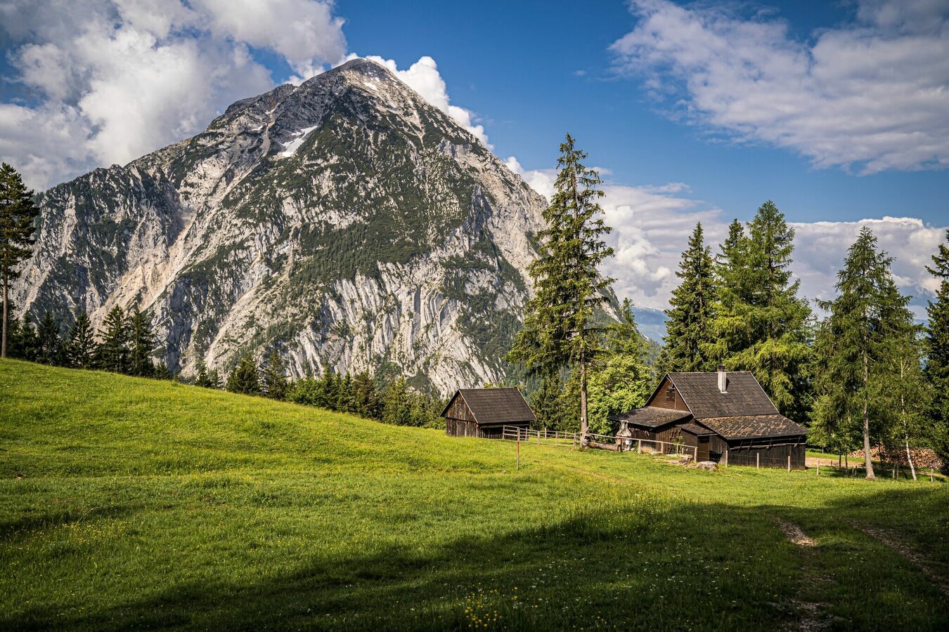

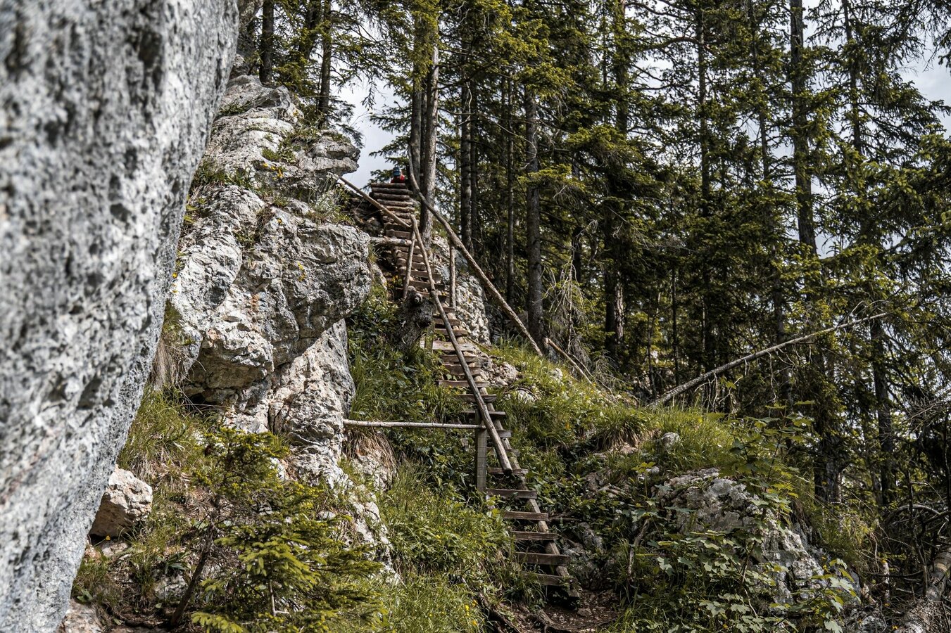
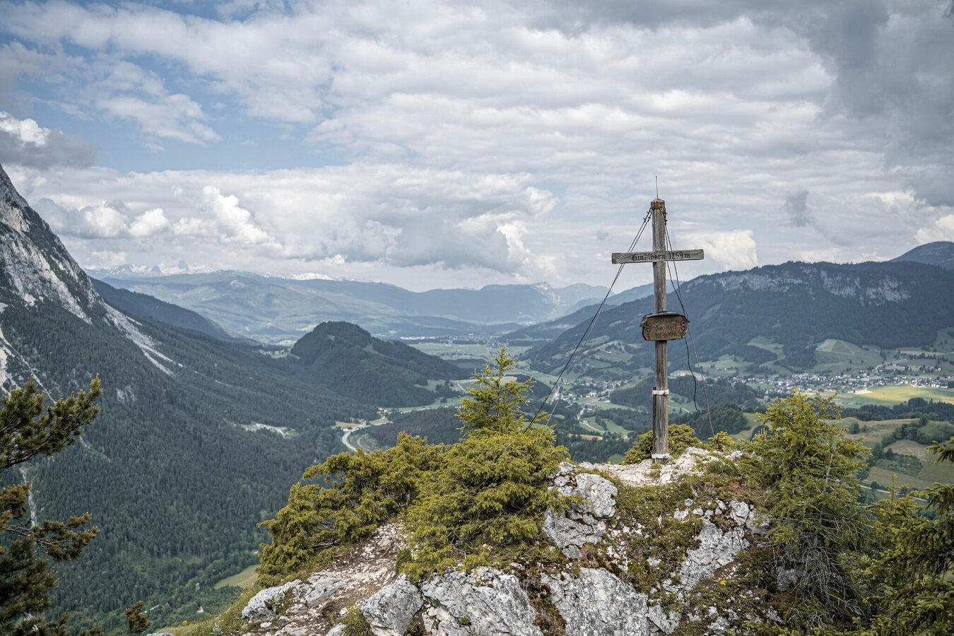

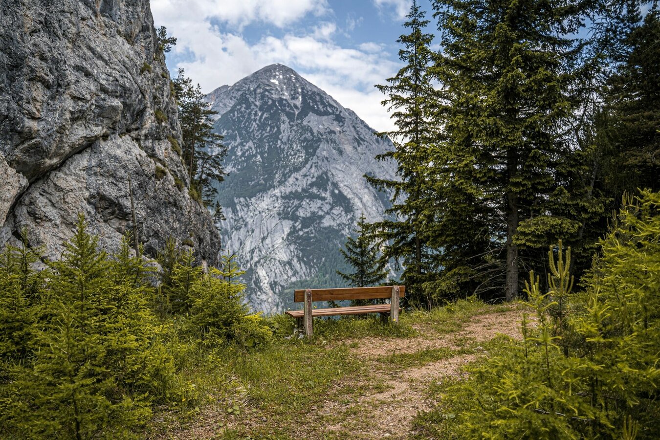
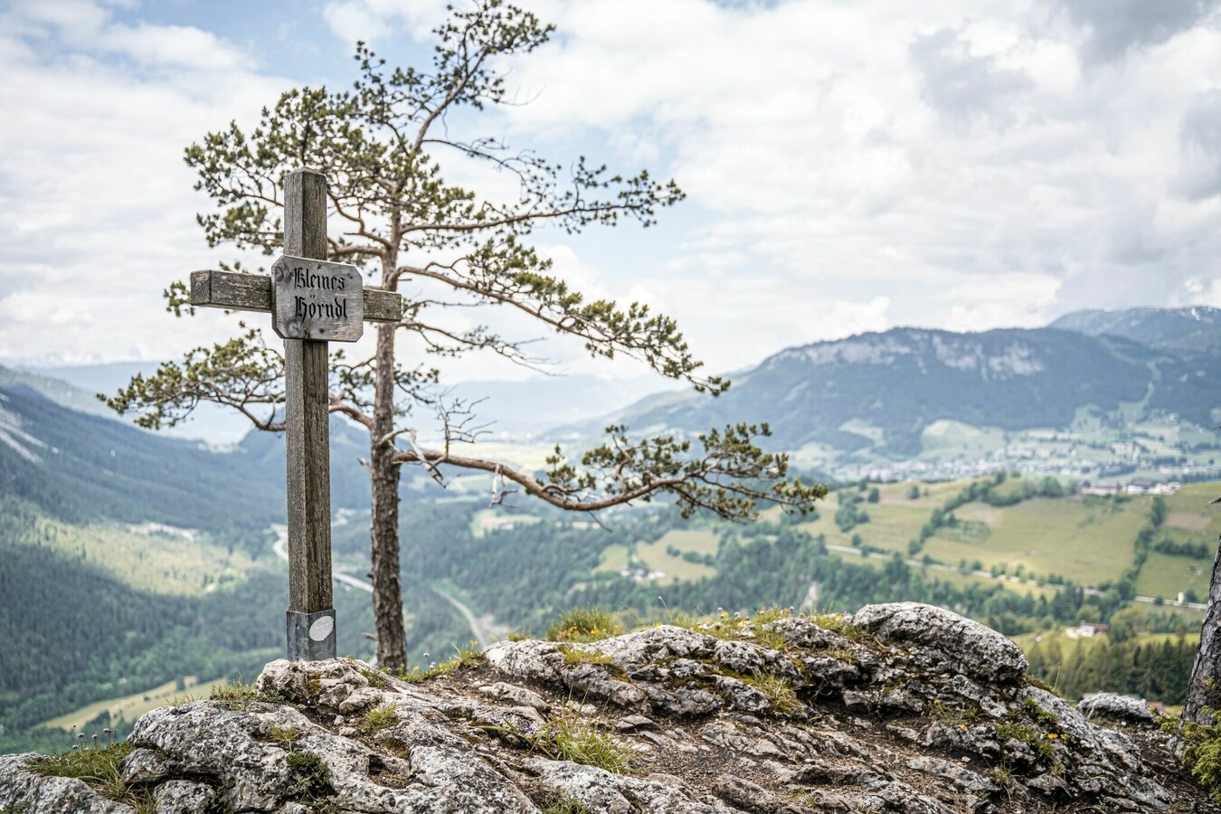
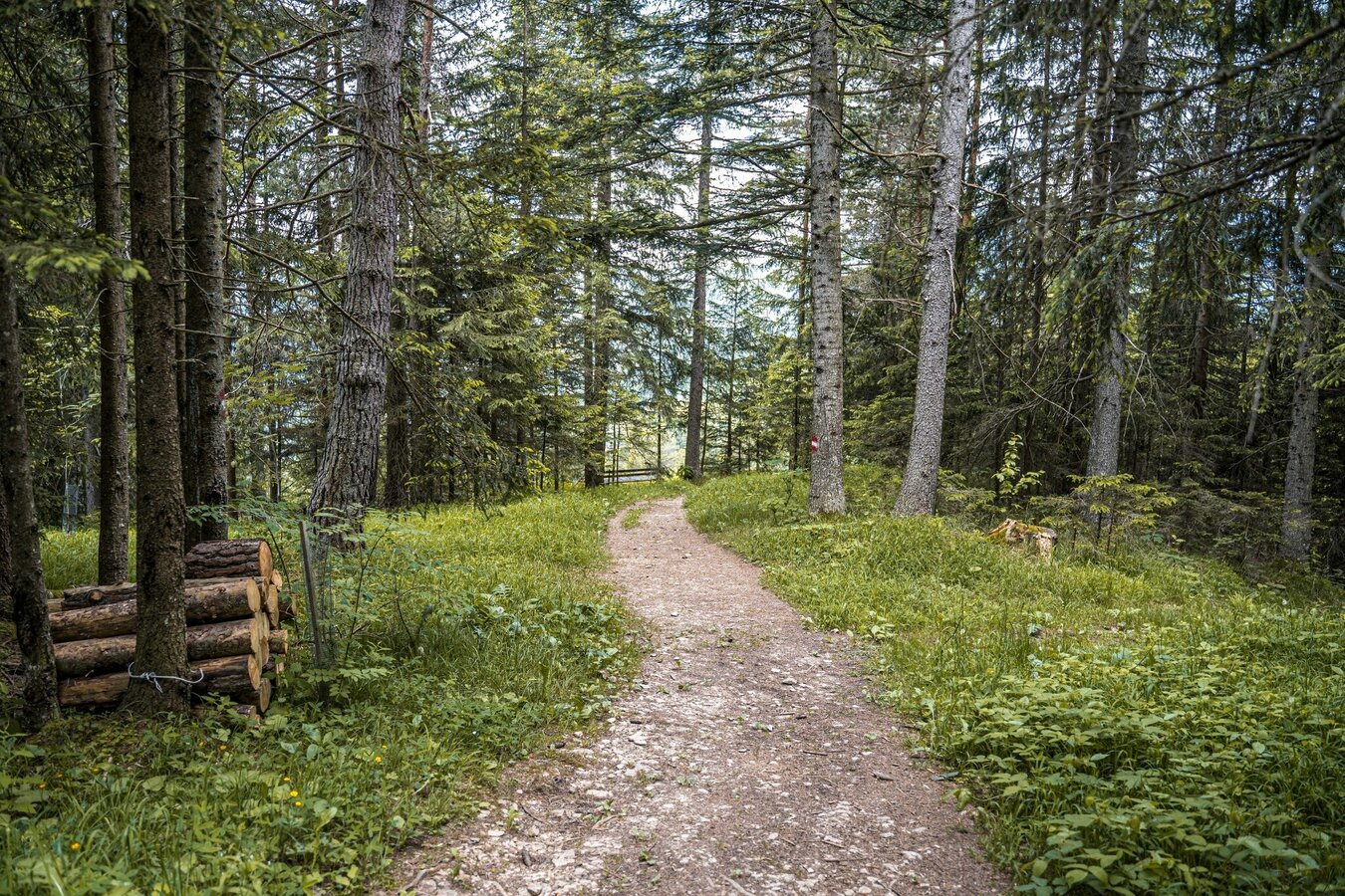
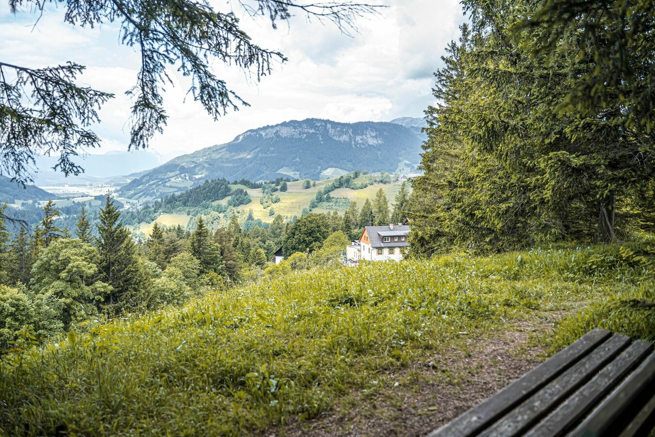
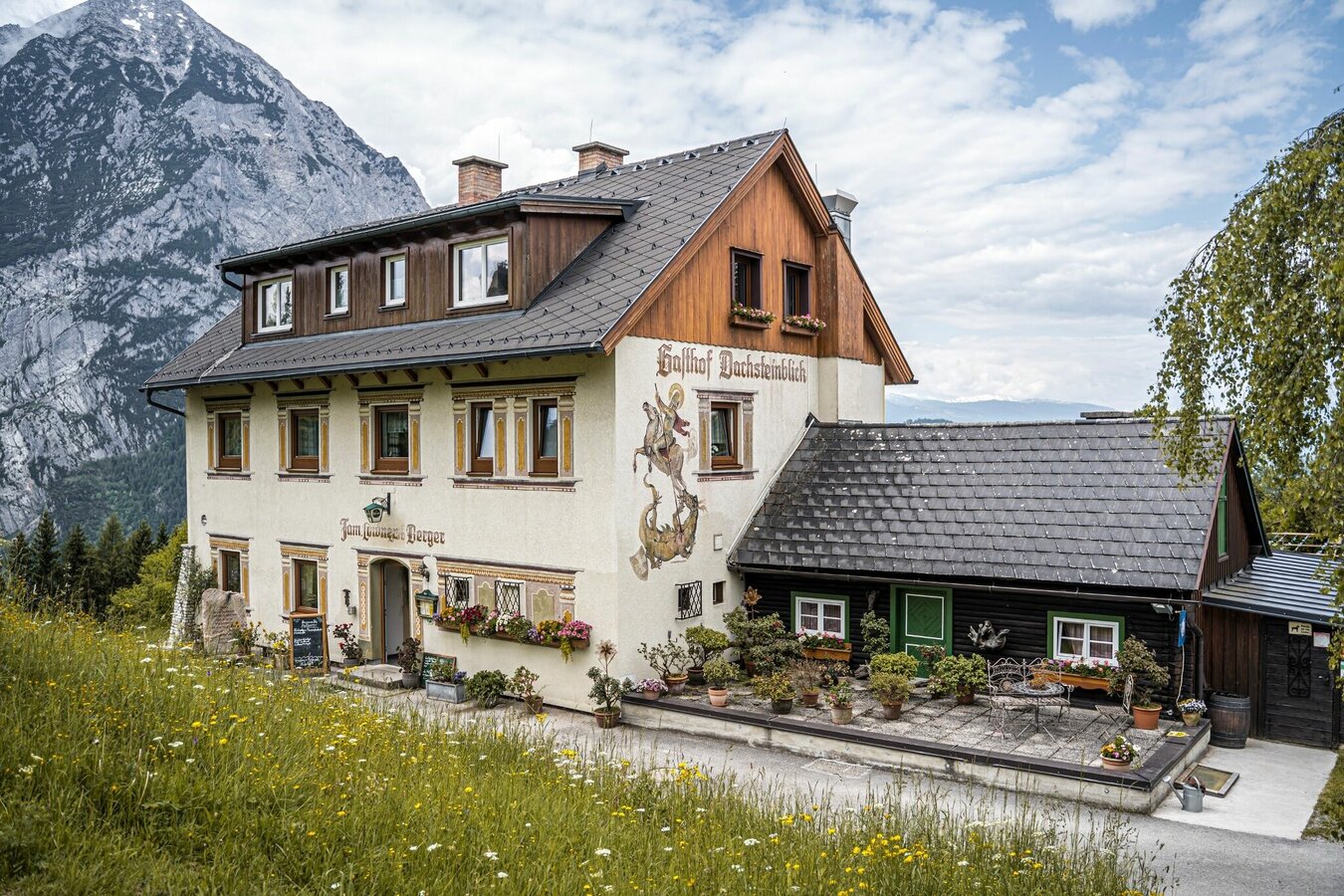


From the village of Pürgg up past the swimming pool, follow path #289 on an alpine path. After the bend, the hiking trail branches off to the left in the direction of the Gindlhorn. A steep ascent and a hiking trail through rocky terrain takes you to the high pasture area at the Schröflhütte. From there you hike more or less flat to the crossroads below the Gindlhorn. The ascent to this beautiful vantage point is short but crisp and rewarded with a beautiful view. You descend again to the crossroads and follow the signs down to Gasthof Dachsteinblick. On the way there you can make a small deotur to the "Kleines Hörndl" (about +5 minutes). You've earned a rest at the inn.
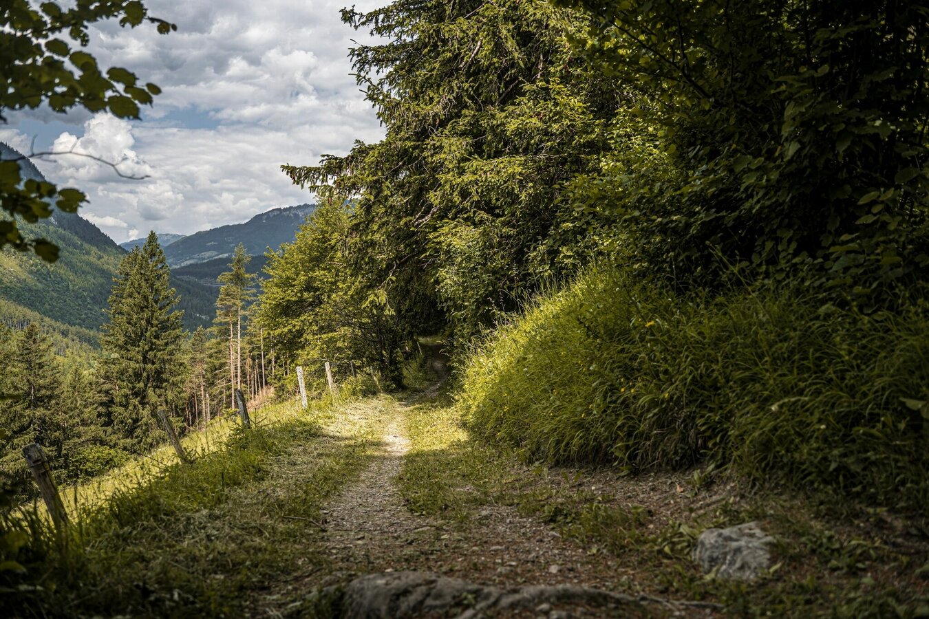
Continue on the way to Pürgg. Along the various wayside shrines you walk steadily downhill. In the forest you come to a crossroads and continue to follow path #278 - relatively flat at the end - out to your starting point in Pürgg.
From the B145 Salzkammergut-Straße, take the Pürgg exit and follow to the entrance to the town.
With the regional trains of the ÖBB to the train station Pürgg (1st station from the IC train station Stainach-Irdning).
From there along the footpath in about 15 minutes to the starting point in Pürgg.
Public parking spaces are available at the entrance to Pürgg. Entry into the town is only permitted for residents.
Changes in weather patterns, quick falls in temperature, thunderstorms, wind, fog and snow are some of the dangers that can be encountered on a hiking tour. Hosts of alpine huts and mountain refuges have a lot of experience in the mountains and can give good advice about weather and the trails. Poor equipment, overestimation of one's own capabilities, carelessness, poor personal constitution and/or wrong judgement can lead to critical situations. In case of thunderstorms: avoid summits, ridges and steel ropes.
GPS data and orienteering
Available GPS data - just like hiking maps - is only a guidance for orientation and can never depict a trail exactly with all its details. Especially at dangerous spots it is essential to judge on site how to proceed.
In an emergency please call:
- 140 - for Alpine emergencies (all over Austria)
- 112 - European GSM emergency number
A well-packed backpack is helpful and especially when touring Alpine terrain a tuque, gloves, a windproof jacket and pants are standard equipment. Good, waterproof shoes, sun glasses, sun cream and sufficient beverages are essential too. Torch light, a map of the area, knie and a small first-aid kit should also be in the backpack.
We recommend a detour to the picturesque town of Pürgg. You can also start the hike at the Gasthaus Dachsteinblick in Wörschachwald.
Schladming-Dachstein Summer Experience Map "EAST", available at the information offices.


