
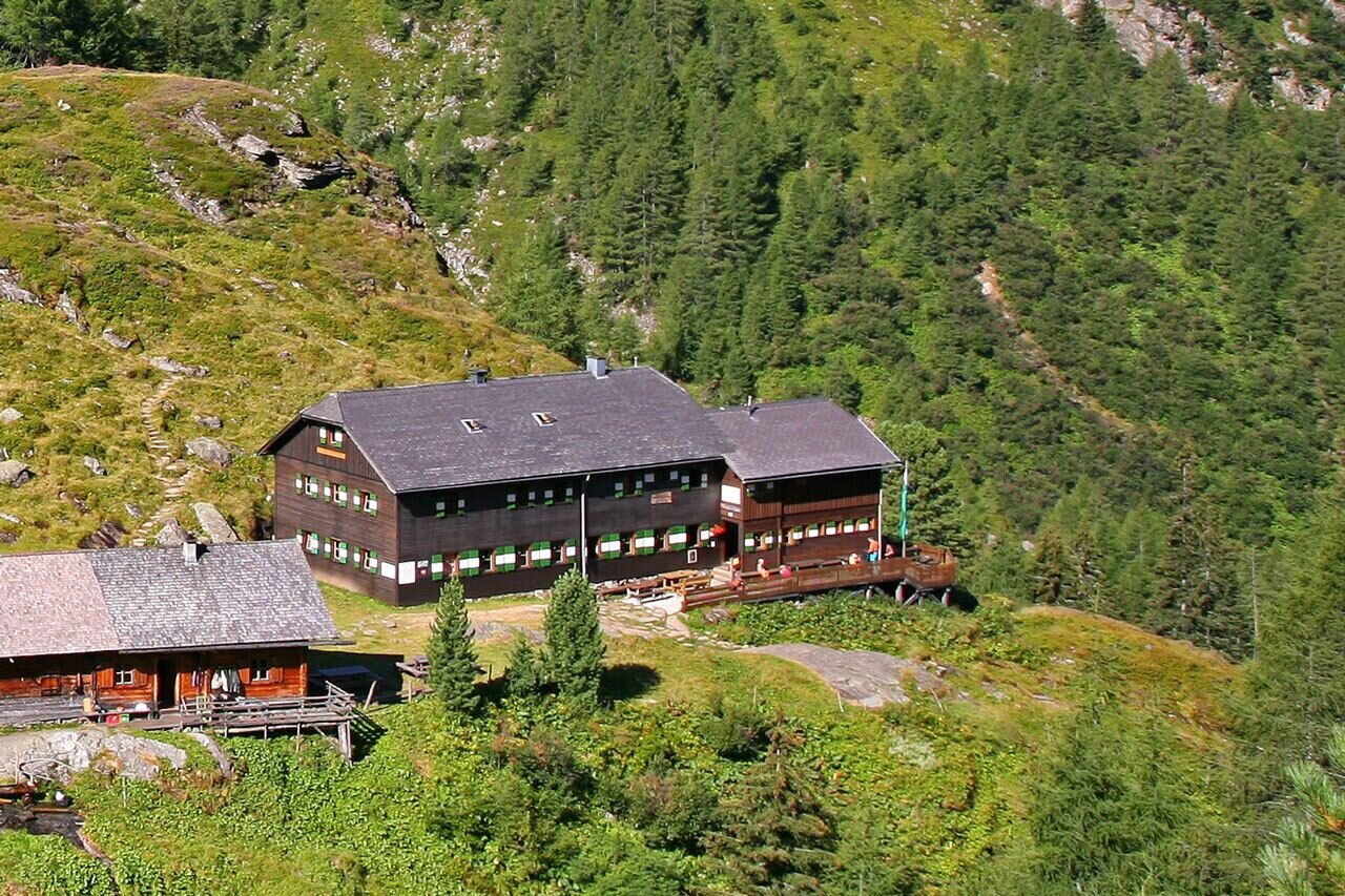
Gollinghütte - Klafferkessel - Preintalerhütte | Schladminger Tauern Trail: Stage 04
średnio trudne Summit tours · Schladming
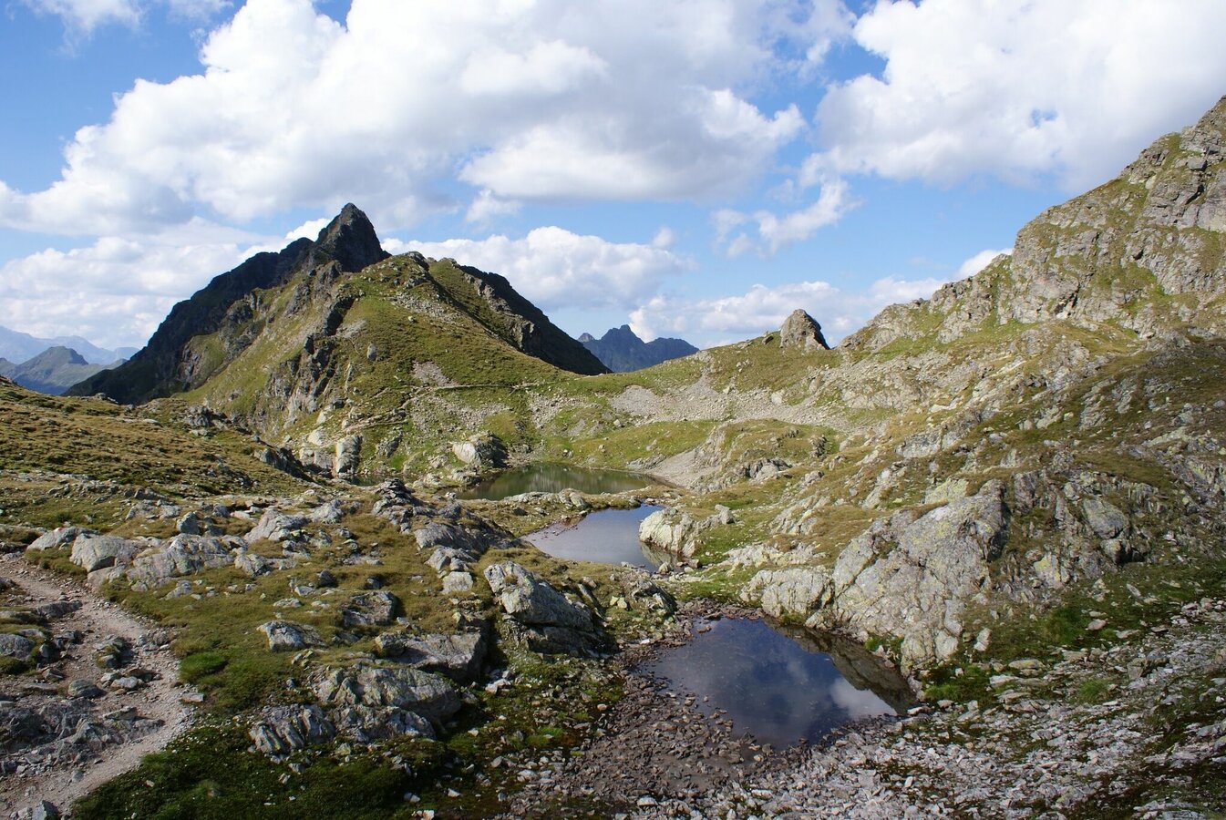
You hike through high alpine terrain and along on of the most spectacular routes in the Schladminger Tauern mountain range. Around 30 lakes in various sizes gather on a plateau at an altitude of approximately 2,300 m above sea level. The alpine trails of this high alpine tour take you from Gollinghütte in Steinriesental valley to Preintalerhütte and Waldhornalm in the Riesachtal valley. Inbetween, you challenge Greifenberg summit - with its 2,618 meters it is the highest point of the Schladminger Tauern High Trail - and encounter the high alpine lake plateau of Klafferkessel with around 30 mountain lakes. This tour is suitable for hikers aged 15 years and older.
Galeria obrazów
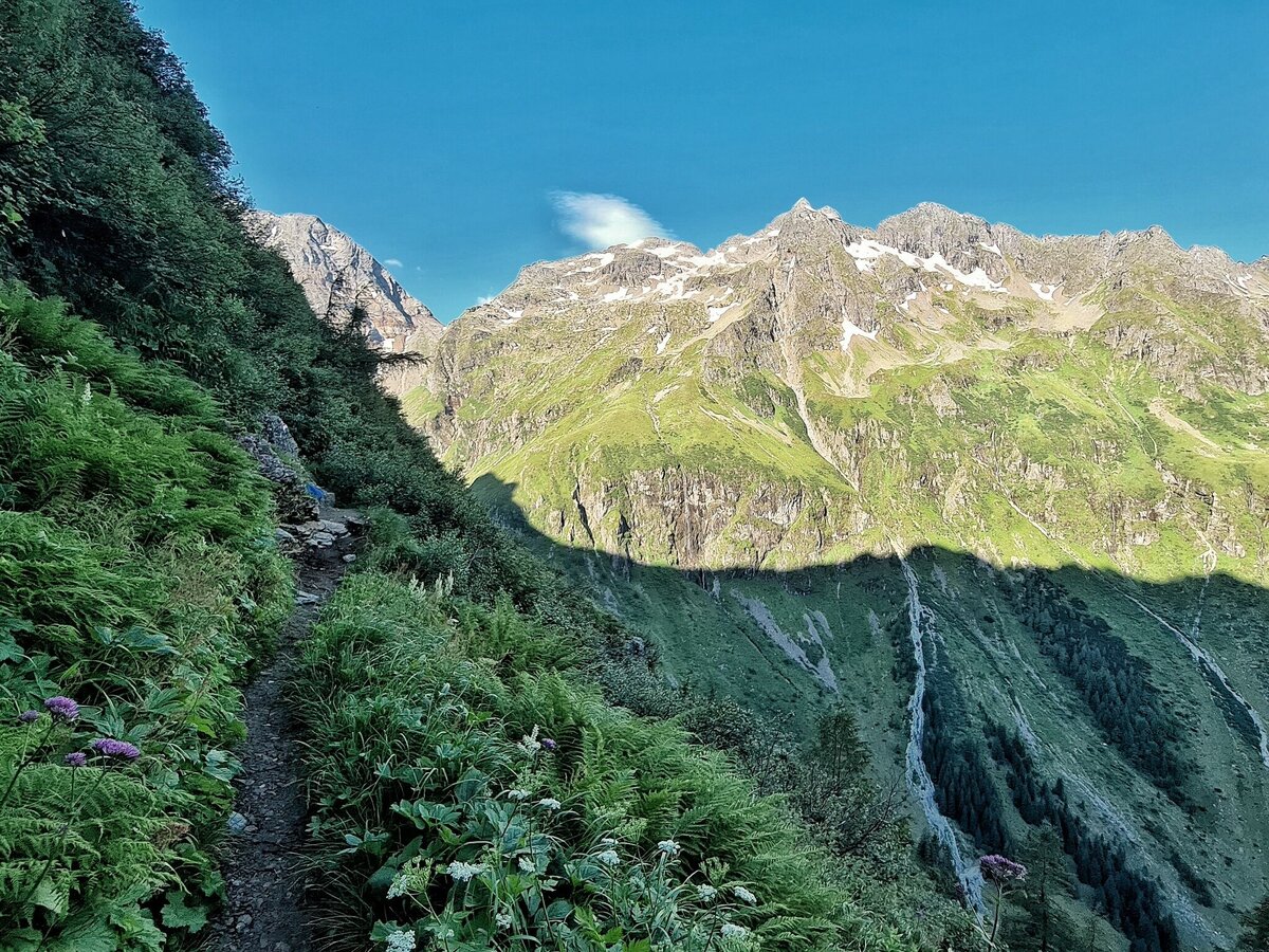
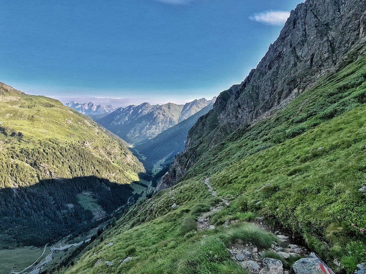
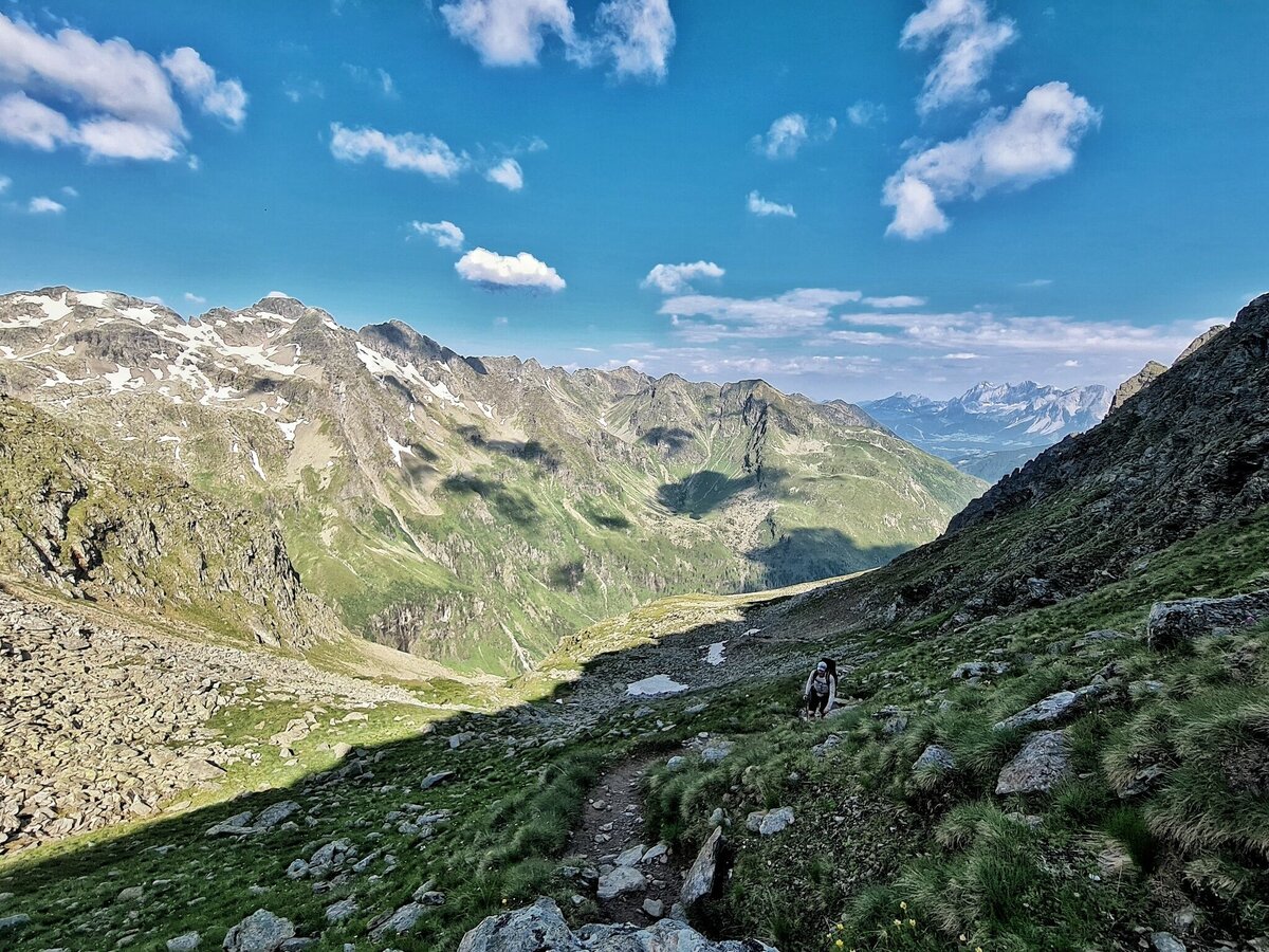
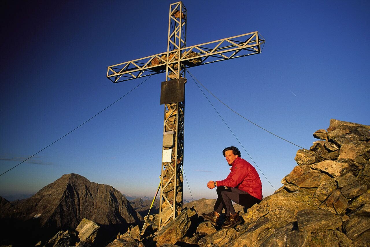


From the Gollinghütte, a series of several serpentines leads steeply uphill to the Greifenbergsattel and the Greifenberg (2,618 m) – undoubtedly one of the most scenic mountains in all of the Niedere Tauern mountain range.
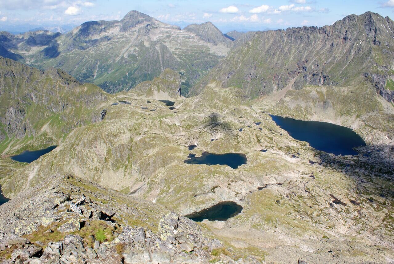
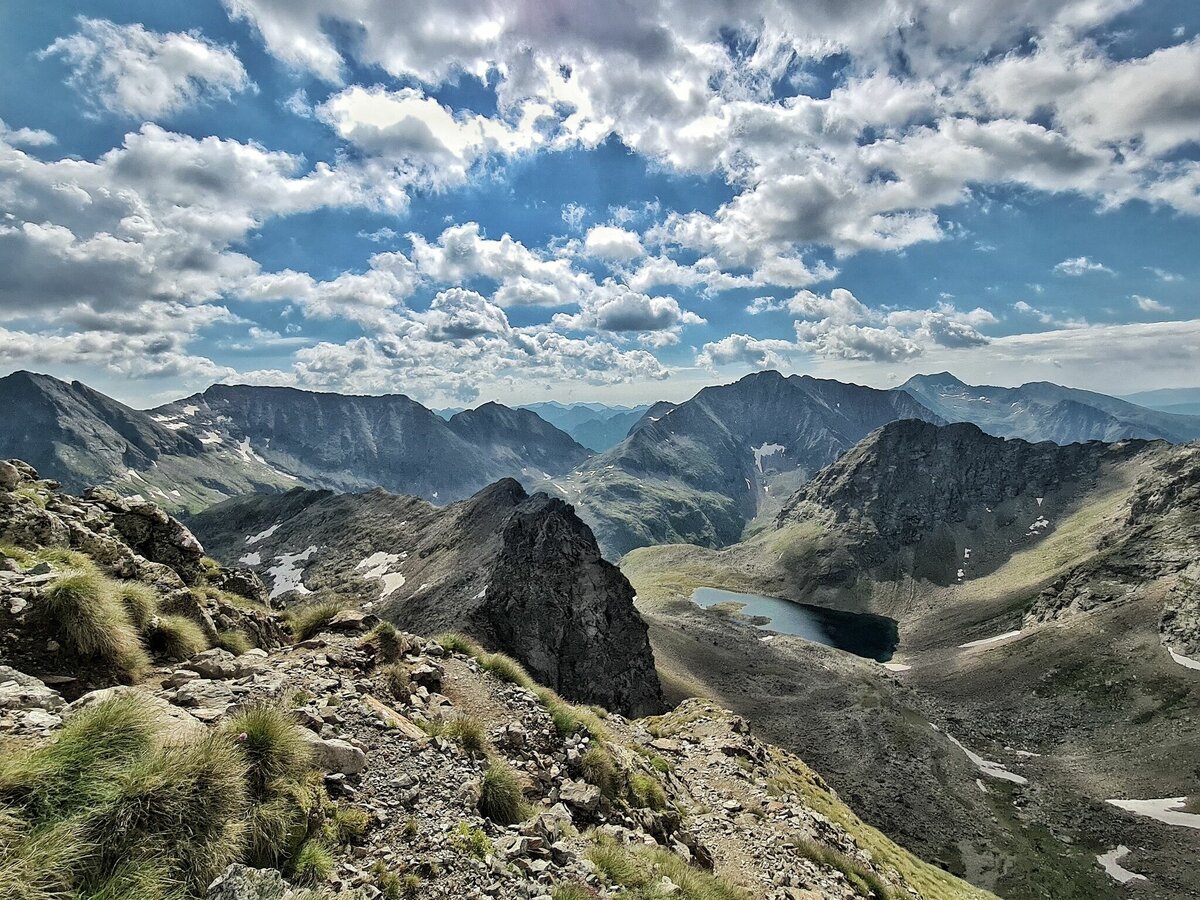
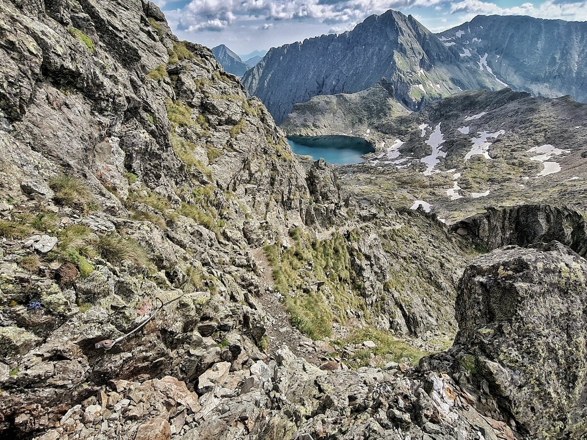
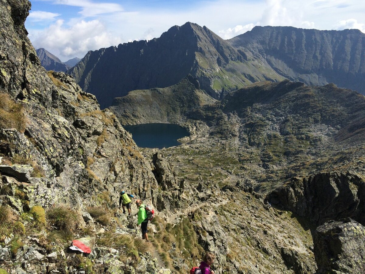
After a much-deserved break, you will begin a short descent into the high-alpine landscapes of the Klafferkessel.
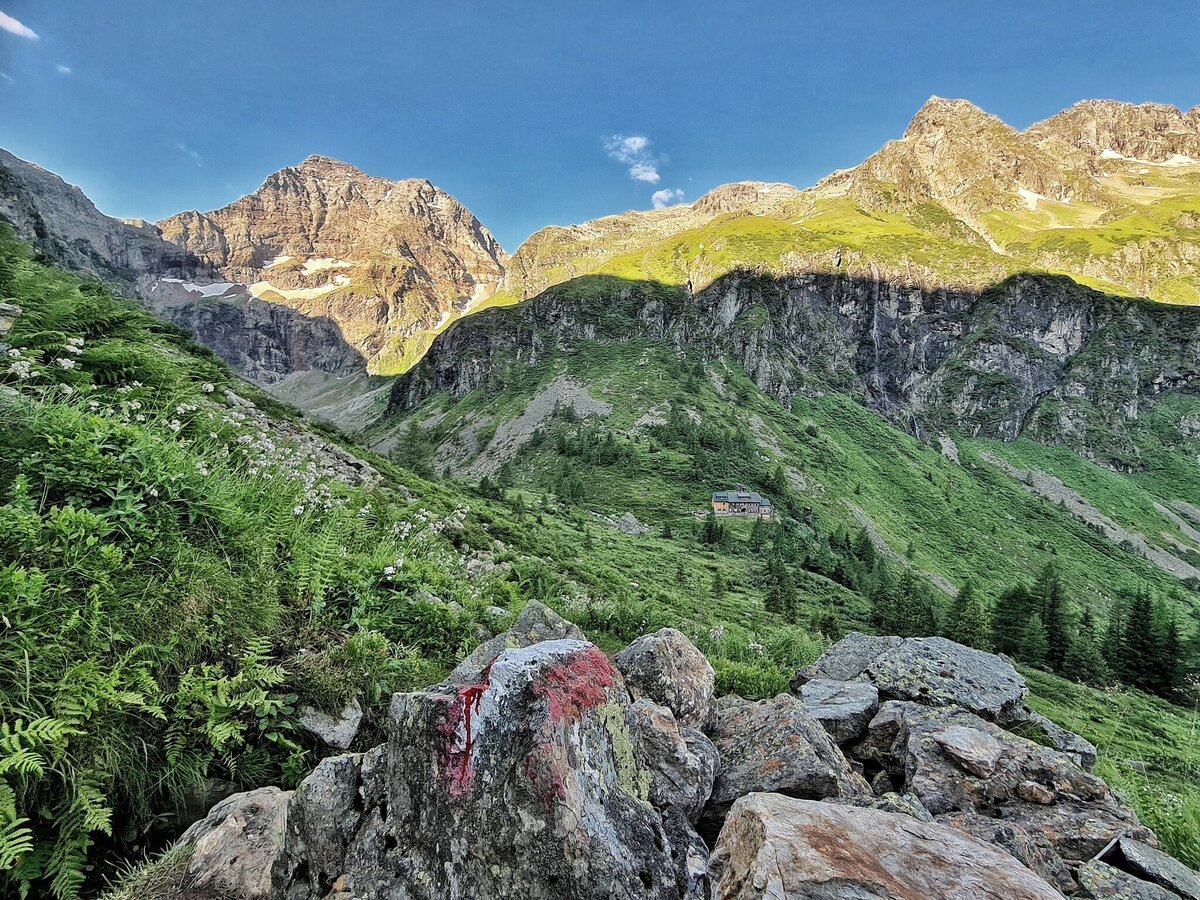
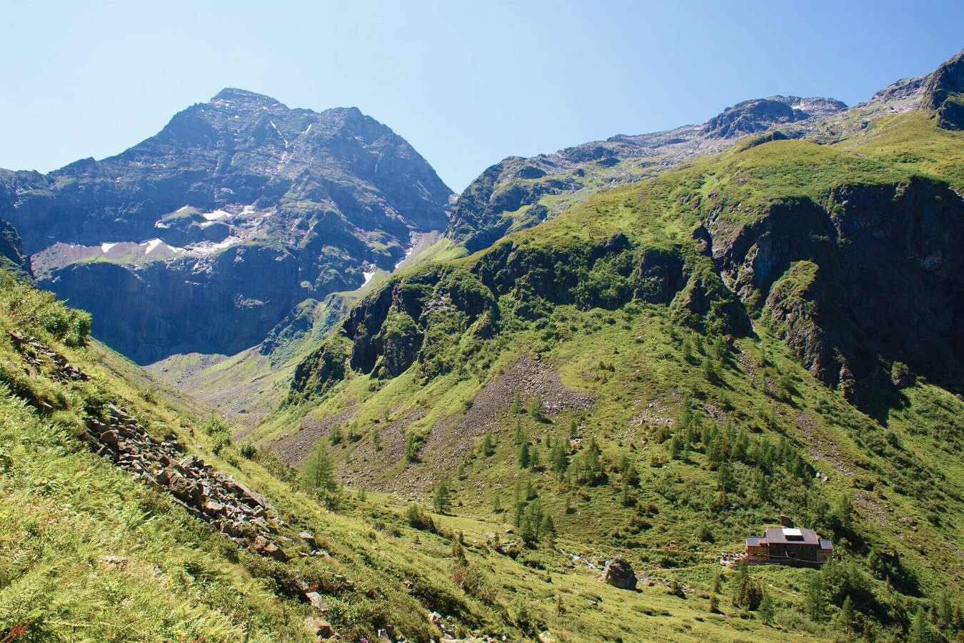
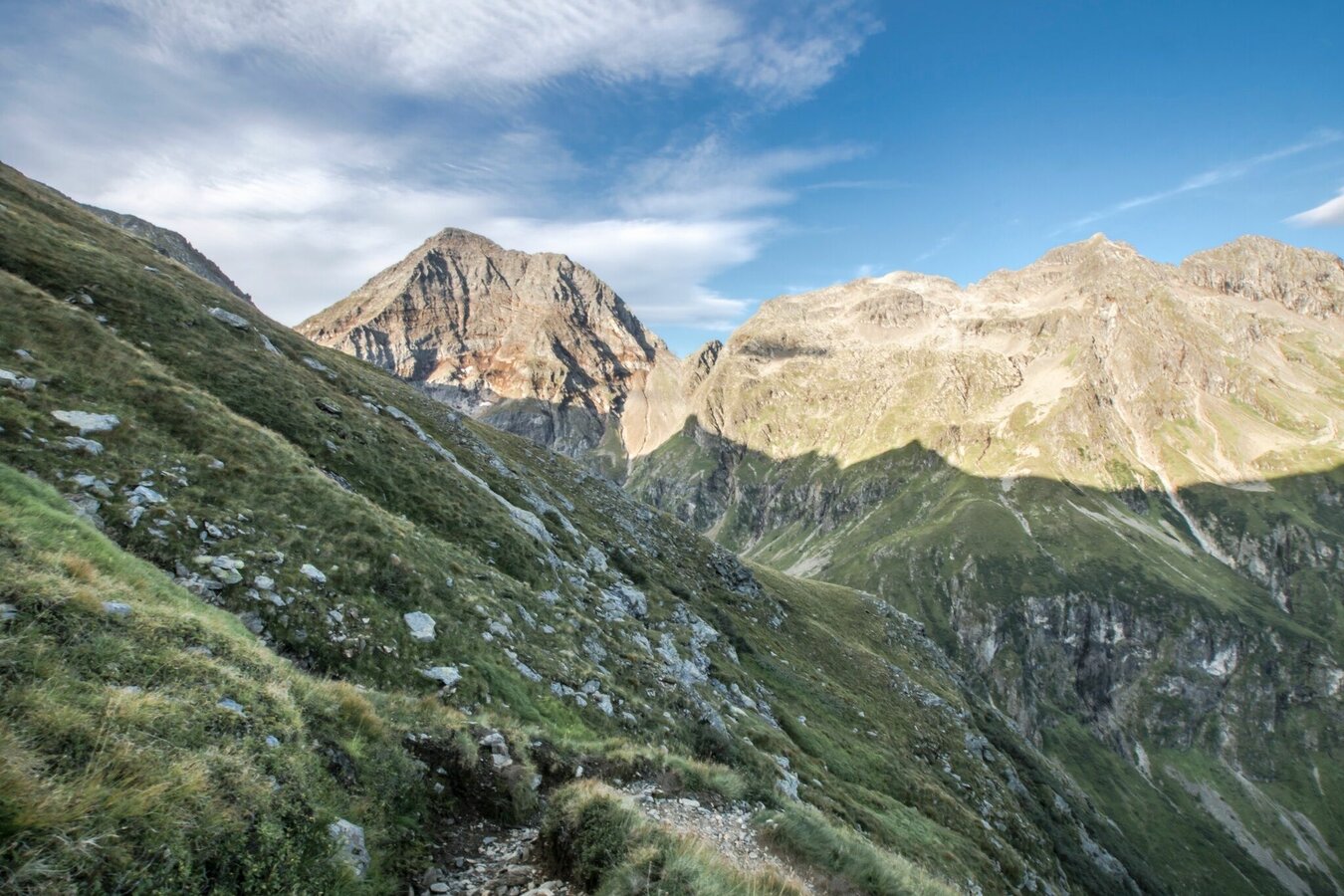
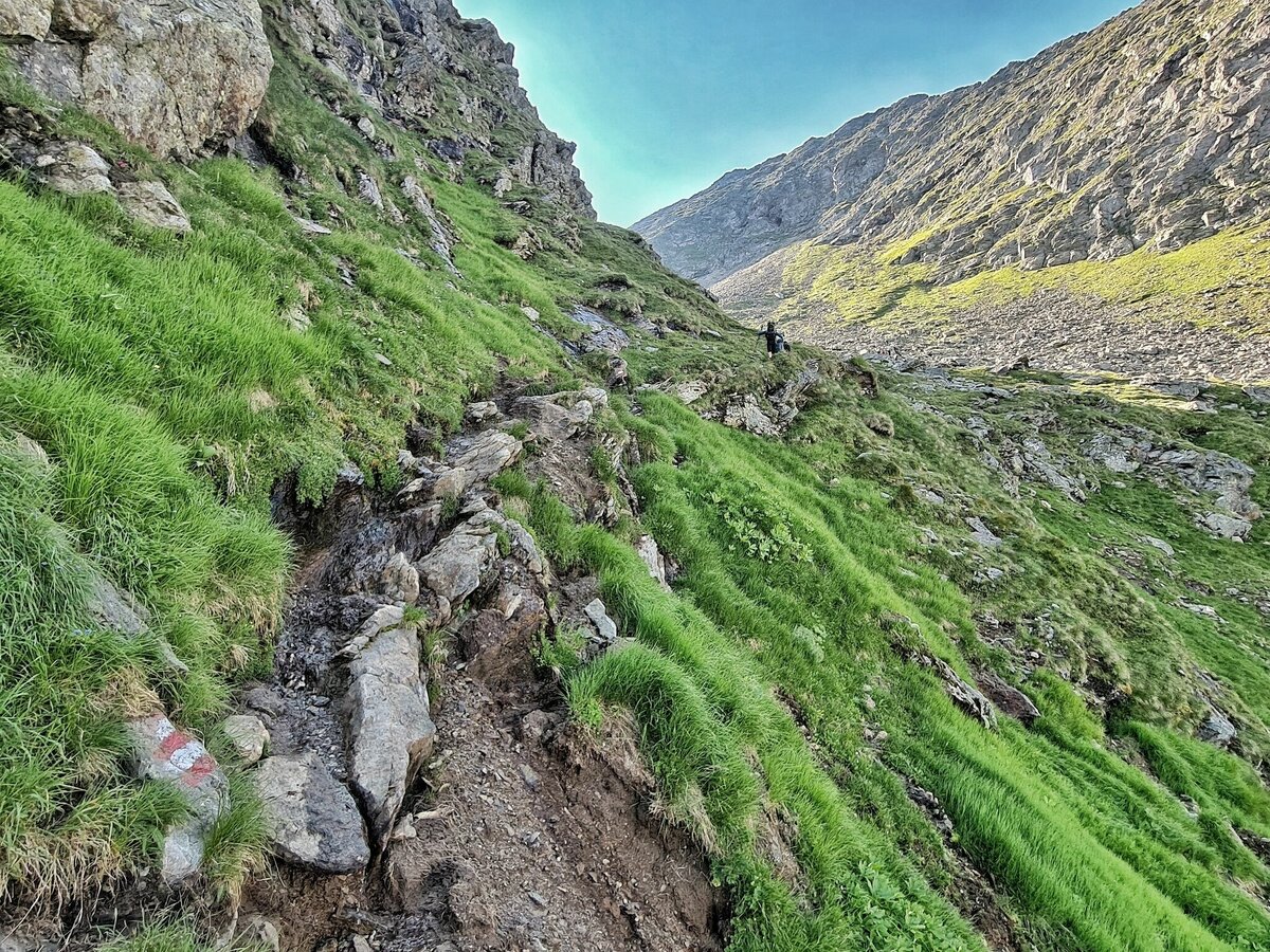
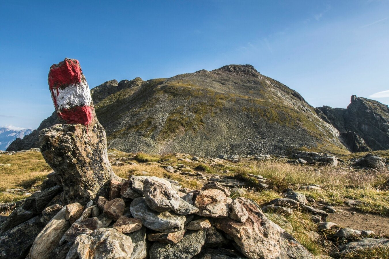
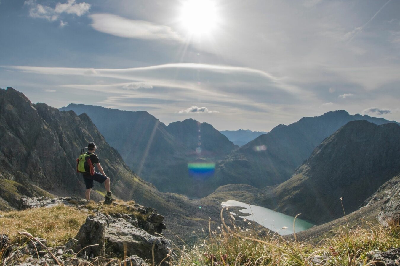
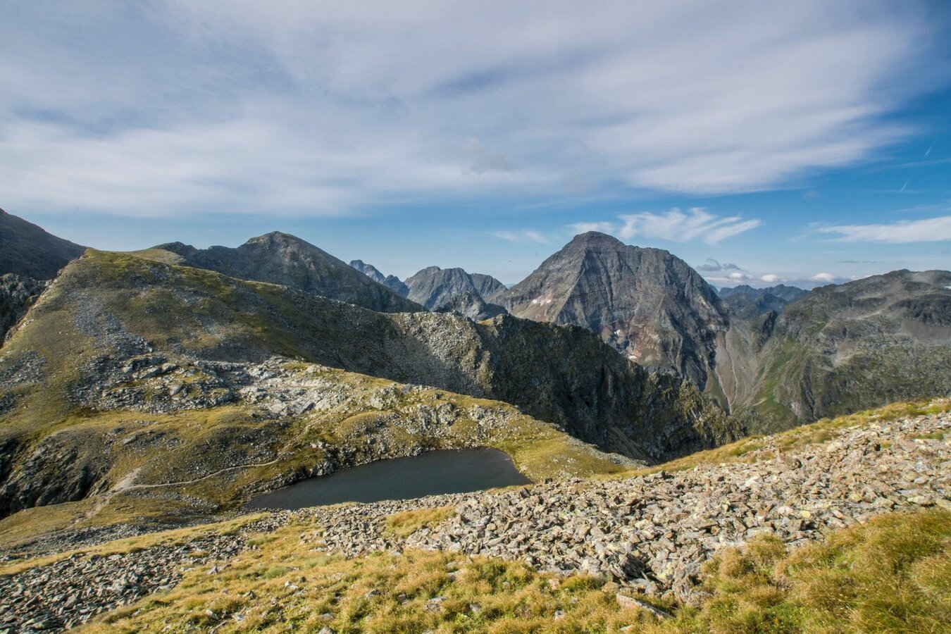
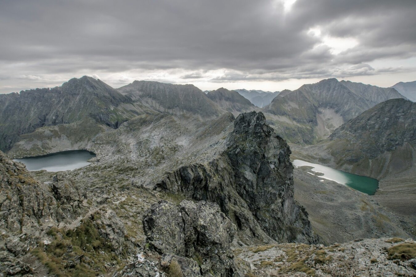
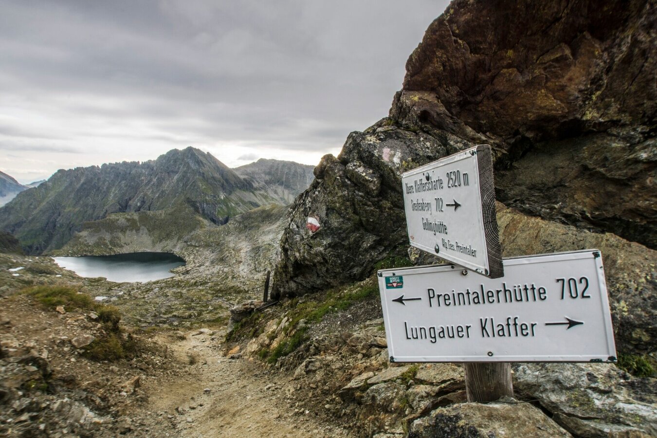
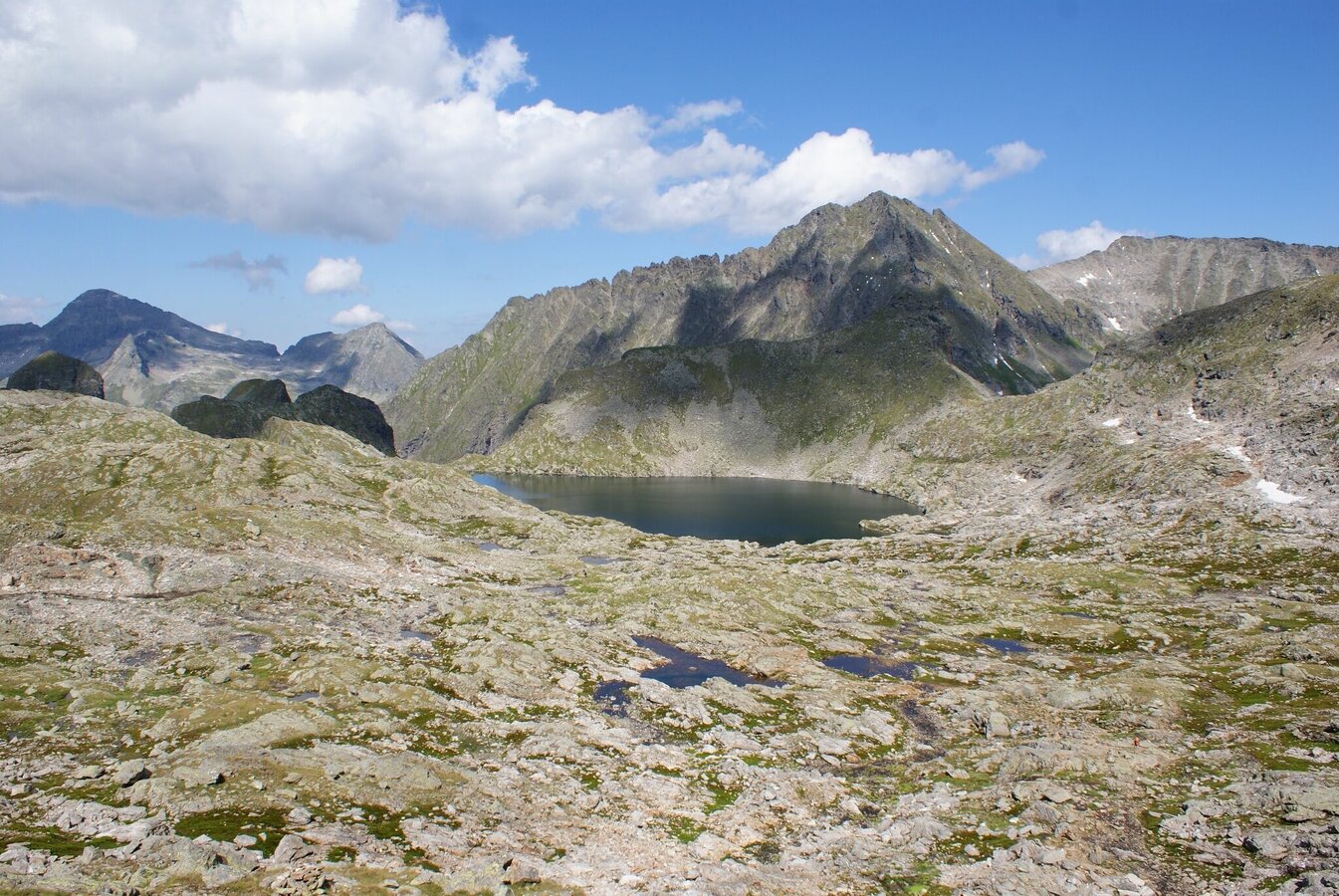
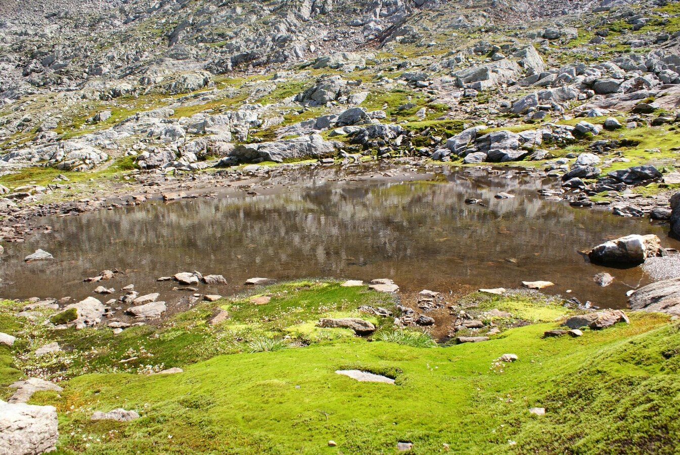
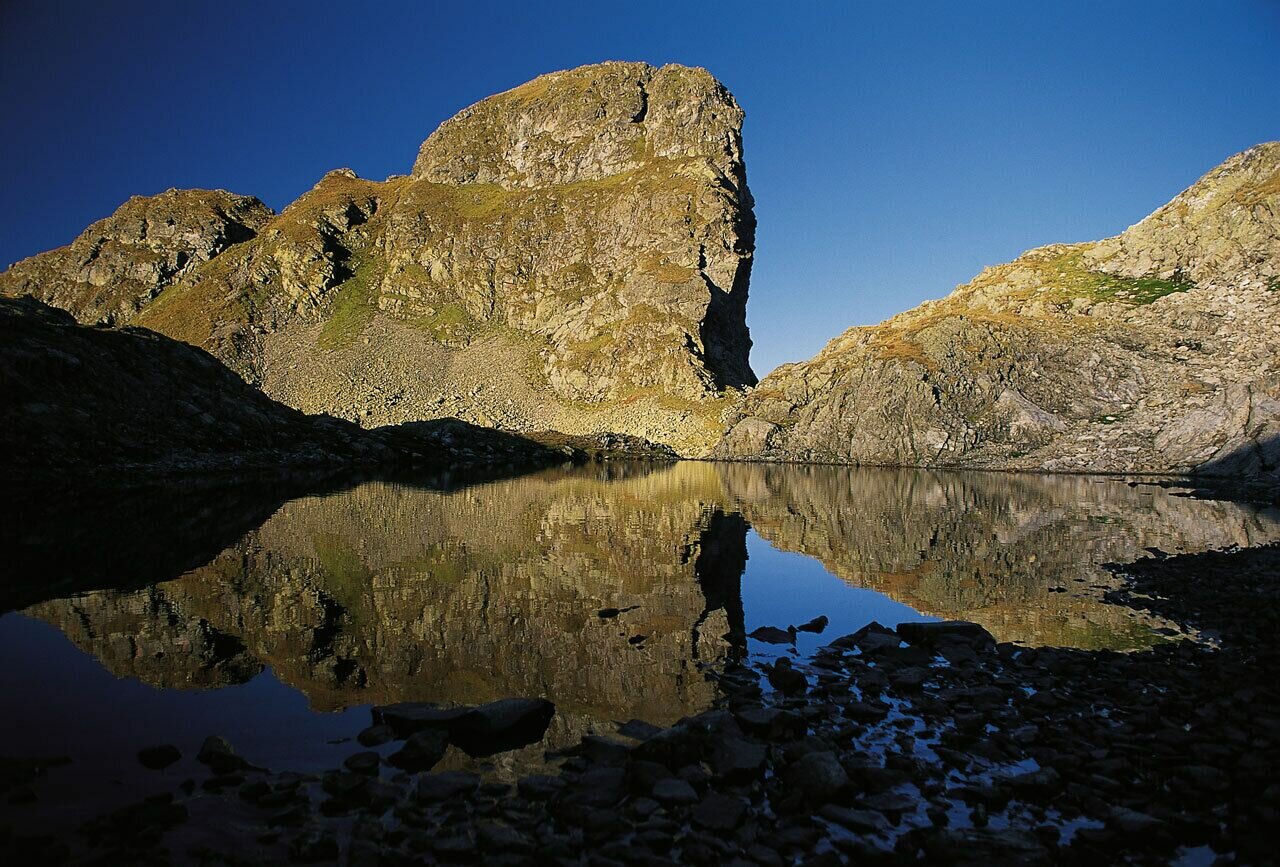
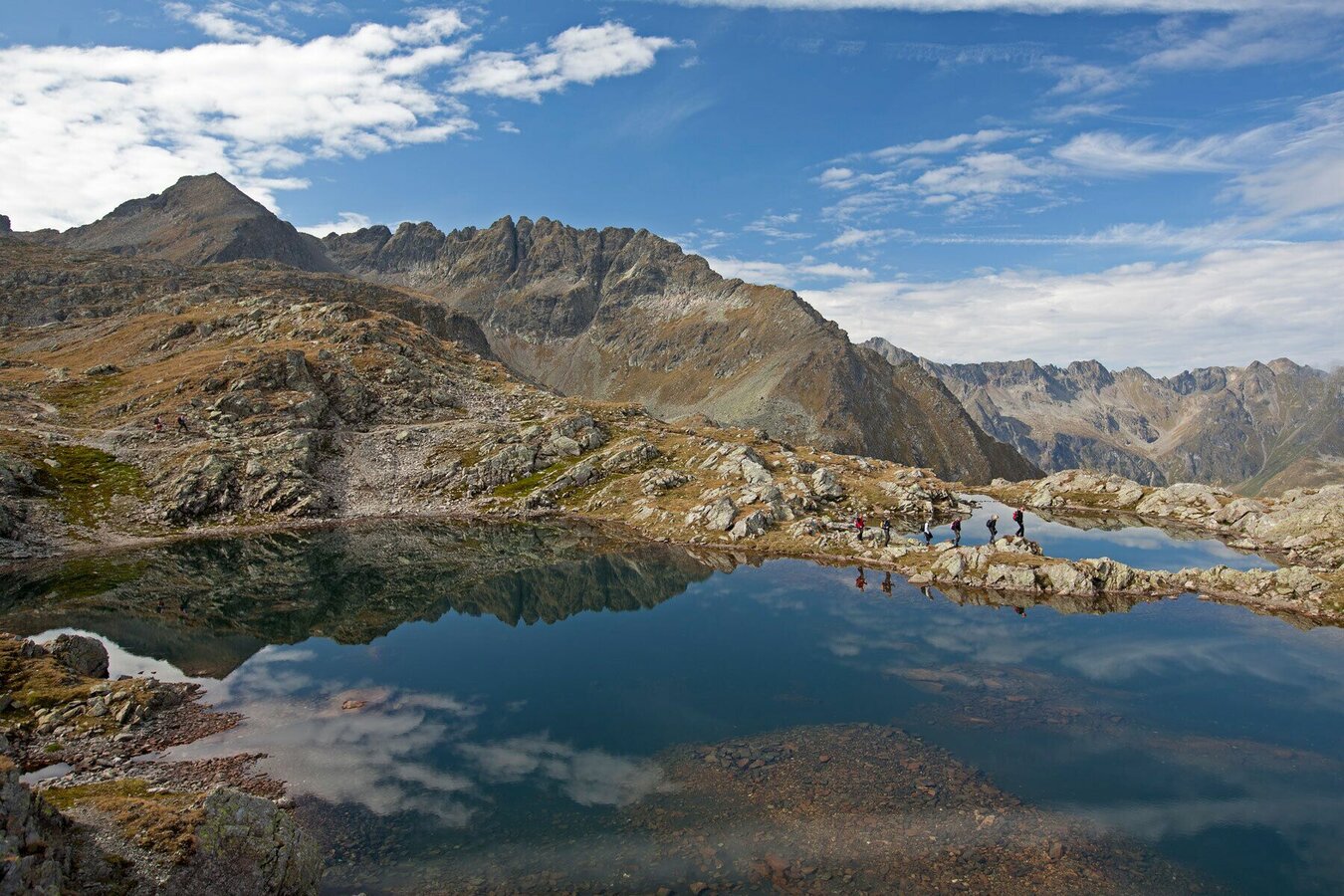
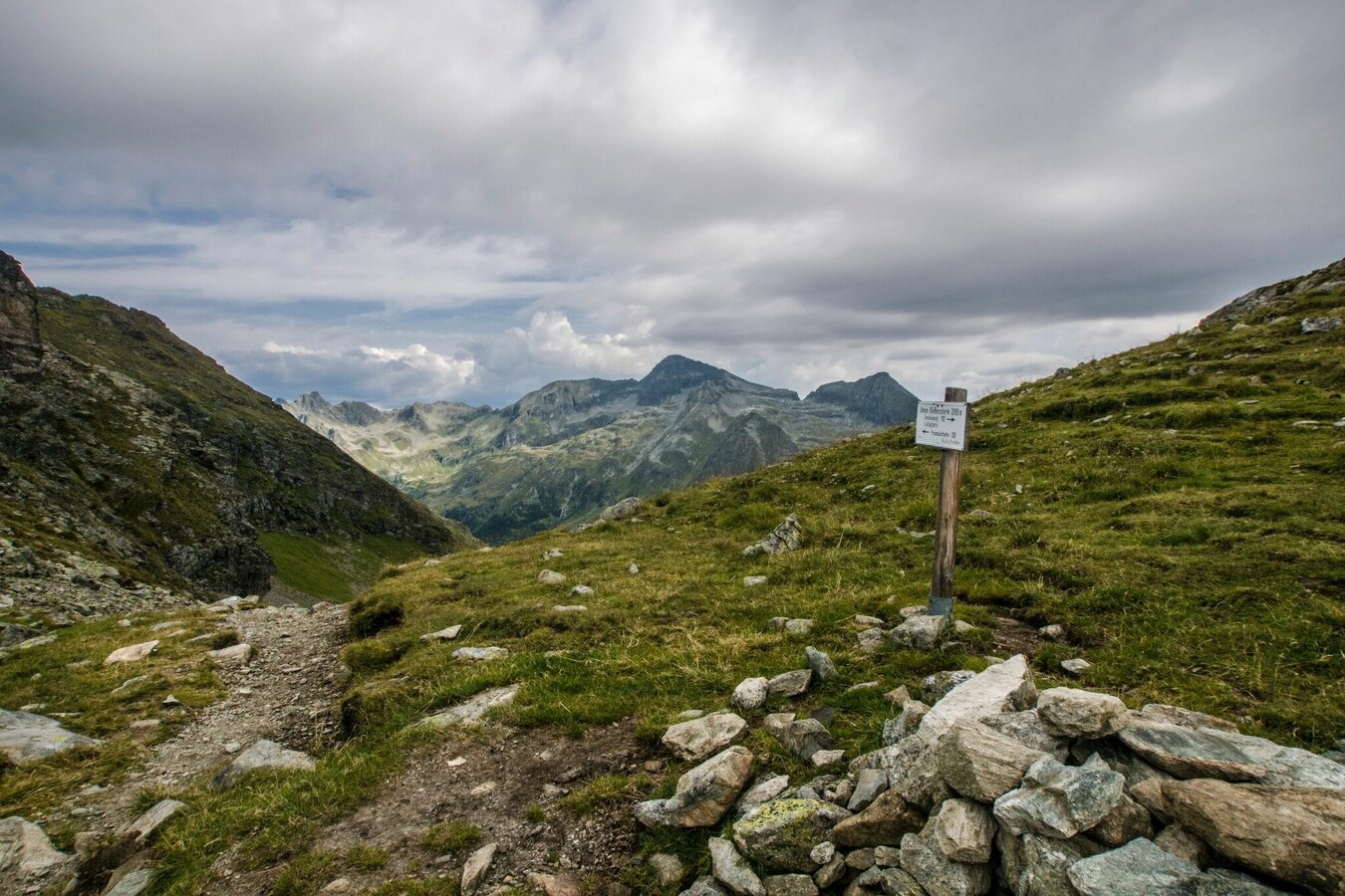
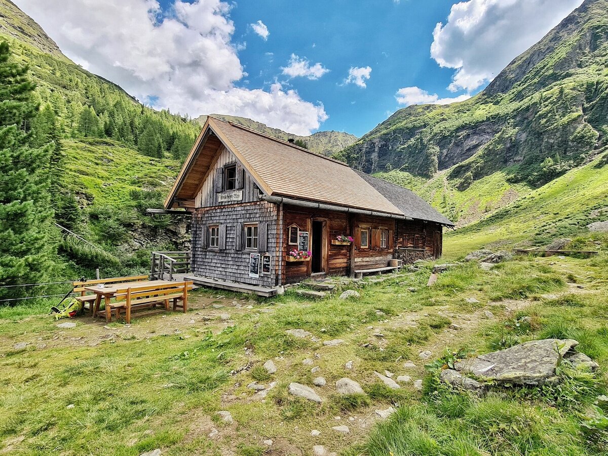
The lake plateau of the Klafferkessel is a relic of the last Ice Age and impresses with its special alpine flora. The Klafferkessel teems with water unlike any other area in the Alps, the core natural resource feeding “Wild Waters” in Rohrmoos’ Untertal Valley. Passing the striking rock formations of the Greifenstein, you will hike from the Klafferscharte through the Lämmerkar cirques to the Preintalerhütte and Waldhornalm at an altitude of 1,657 m.
Descent to the valley:
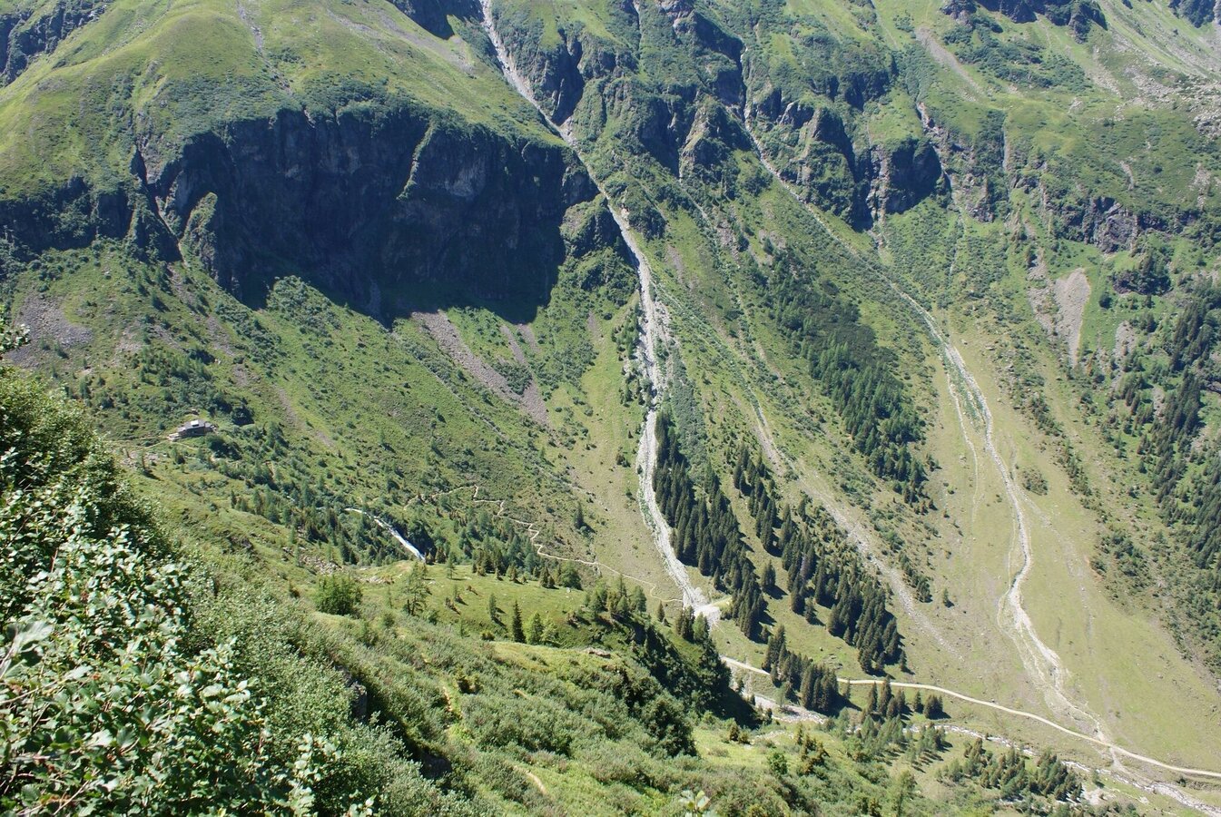
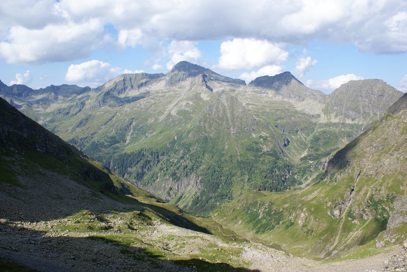
Via Riesachsee Lake you reach Seeleiten car parking in Untertal valley in approximately 2.5 hours.
1. stage: Hochwurzen High trail to Giglachseen Lakes
2. stage: Via Rotmandlspitze to Keinprechthütte
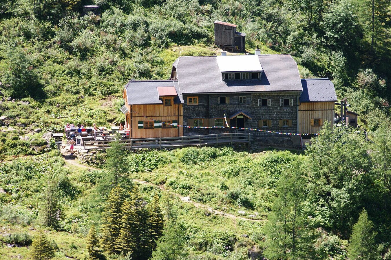
3. stage: Via Trockenbrotscharte to Gollinghütte
Surefootedness and head for heights required in the section over Greifenberg (2,618 m). This tour is suitable for hikers aged 15 years and older.
Changes in weather patterns, quick falls in temperature, thunderstorms, wind, fog and snow are some of the dangers that can be encountered on a hiking tour. Hosts of alpine huts and mountain refuges have a lot of experience in the mountains and can give good advice about weather and the trails. Poor equipment, overestimation of one's own capabilities, carelessness, poor personal constitution and/or wrong judgement can lead to critical situations. In case of thunderstorms: avoid summits, ridges and steel ropes.
GPS data and orienteering
Available GPS data - just like hiking maps - is only a guidance for orientation and can never depict a trail exactly with all its details. Especially at dangerous spots it is essential to judge on site how to proceed.
In an emergency please call:
- 140 - for Alpine emergencies (all over Austria)
- 112 - European GSM emergency number
A well-packed backpack is helpful and especially when touring Alpine terrain a tuque, gloves, a windproof jacket and pants are standard equipment. Good, waterproof shoes, sun glasses, sun cream and sufficient beverages are essential too. Torch light, a map of the area, knie and a small first-aid kit should also be in the backpack.
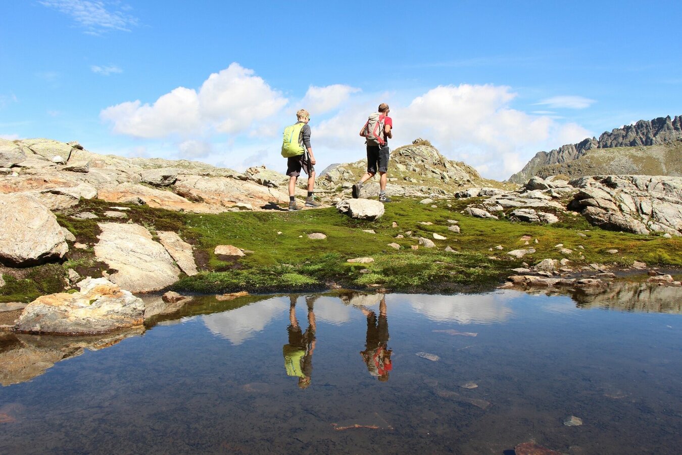
Take your time for this tour. There is a lot to explore at Klafferkessel!
General tourism information: www.schladming.com
Info about buses: www.planai.at
360° drone images
Get yourself an overview with our 360° drone images:
- View over Klafferkessel: https://vonoben.schladming-dachstein.at/sommer/index.php?S=315
- View into Lämmerkare cirques: https://vonoben.schladming-dachstein.at/sommer/index.php?S=316
- Descent from Preintalerhütte: https://vonoben.schladming-dachstein.at/sommer/index.php?S=317
- View over Riesachsee Lake: https://vonoben.schladming-dachstein.at/sommer/index.php?S=318
- Hiking map Schladming, 1:25.000, available at the tourist office Schladming.
- Hiking map Schladming-Dachstein, 1:50.000, available at the tourist office Schladming.
- Magazine "Wild Waters", available at the tourist office Schladming


