
Sonntagskarseen Lakes
łatwe zamknięte Hiking · Schladming
The Alpinsteig Höll will be closed over the winter until probably mid-May 2024. As usual, the reopening will take place in spring after an appropriate inspection and renovation measures! The Seeleiten car park in Untertal is also closed.
Out of consideration for the wild animals, we ask that you behave particularly quietly and considerately when hiking here during the winter and only during the day outside of twilight hours.
Highlights of the tour:
- Riesach waterfalls and alpine trail through "Höll" gorge
- Mountain lakes Riesachsee and Sonntagskarseen Lakes
Please note: The Alpinsteig is NOT suitable for dogs - tip: bypassing on the forest road to Riesachsee
Galeria obrazów
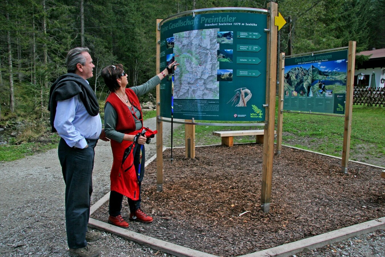
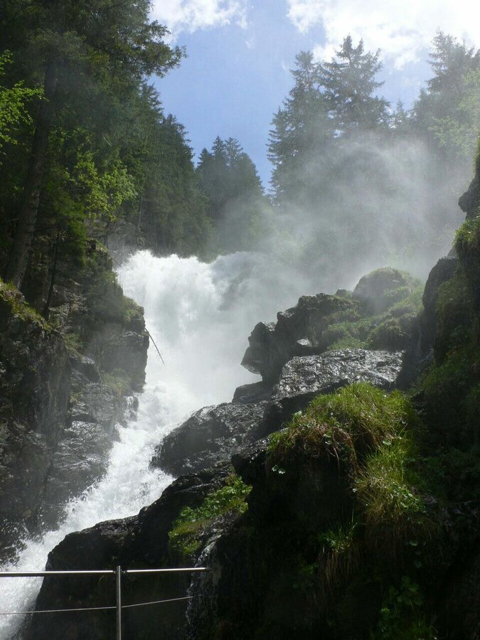
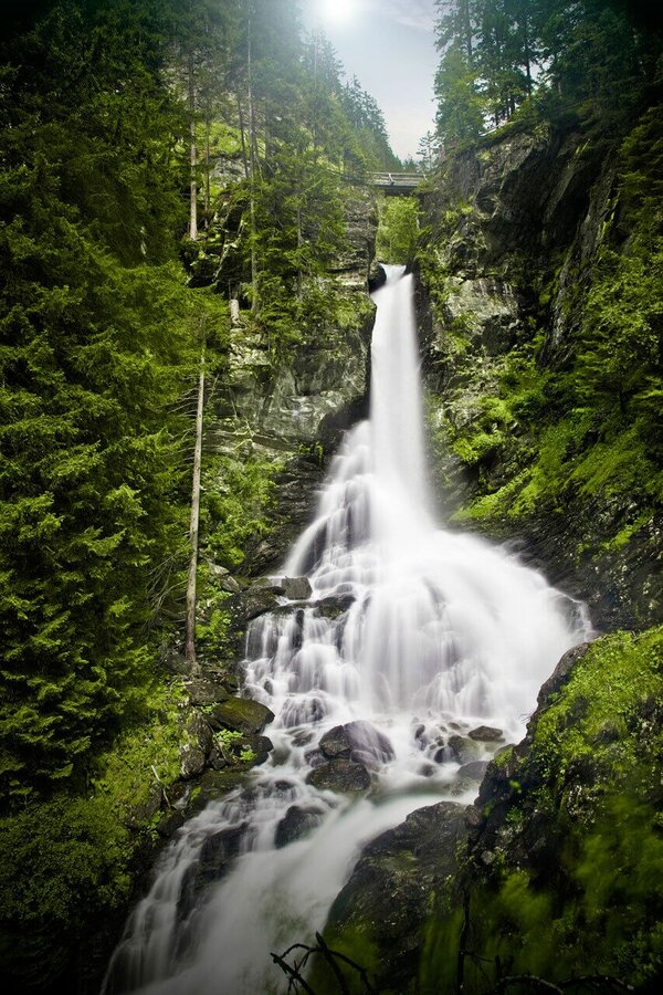
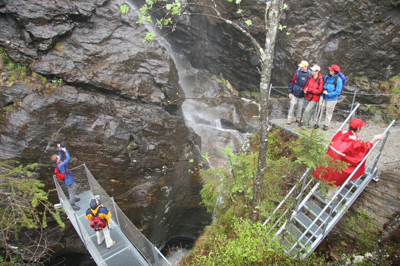
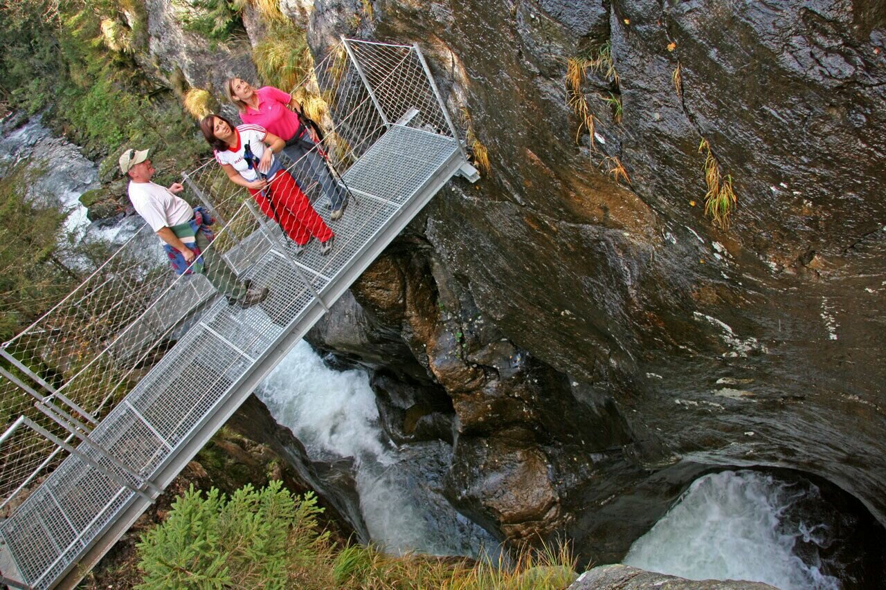
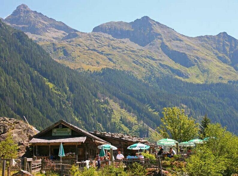
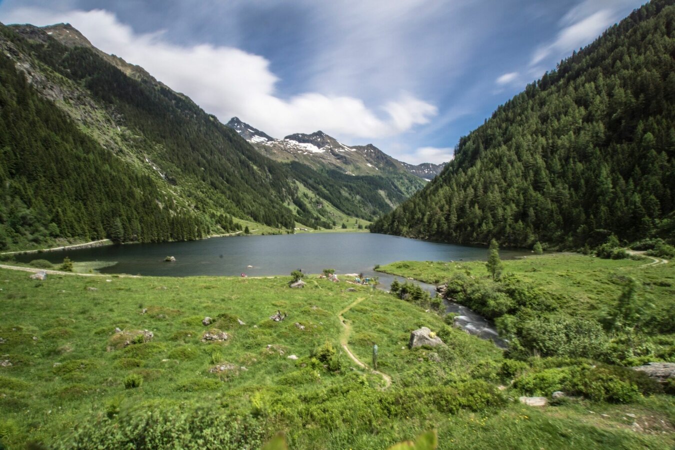
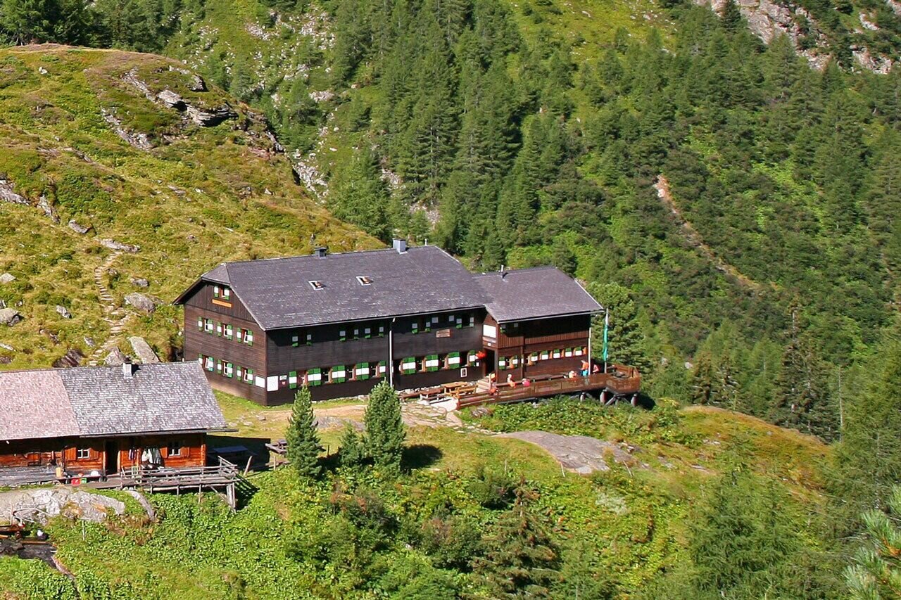
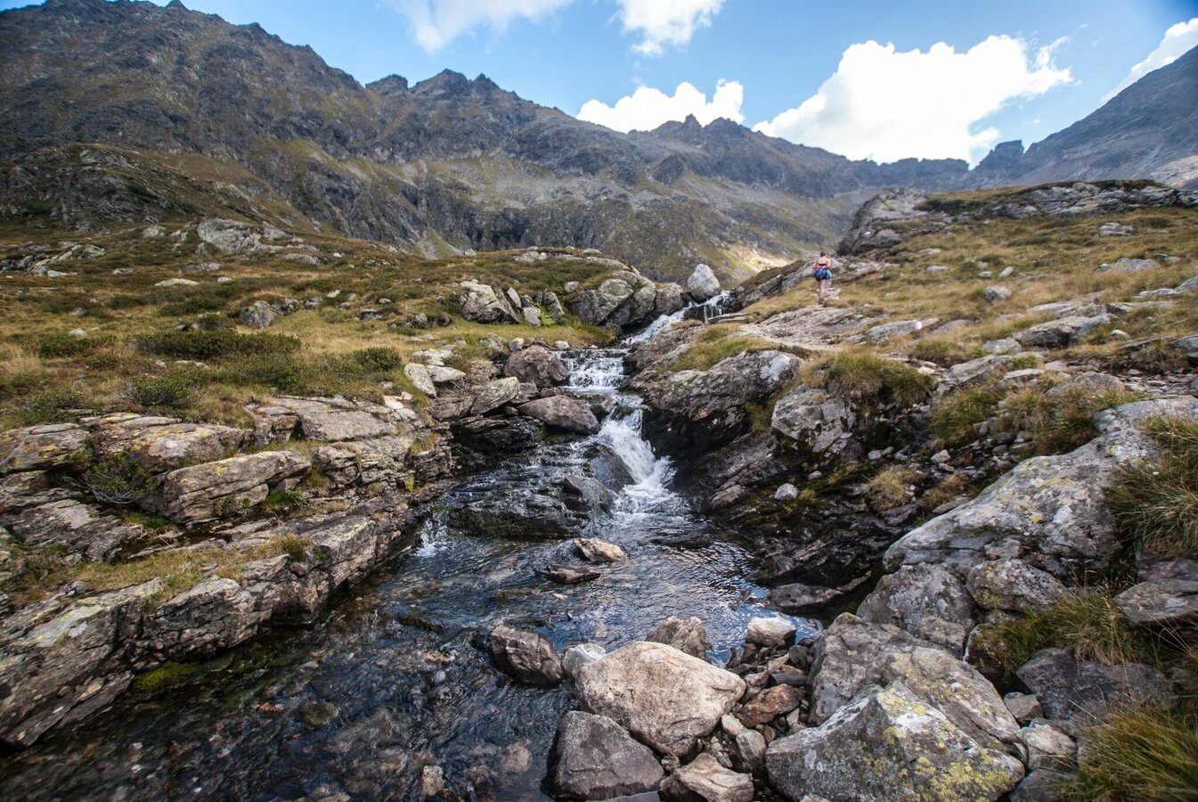
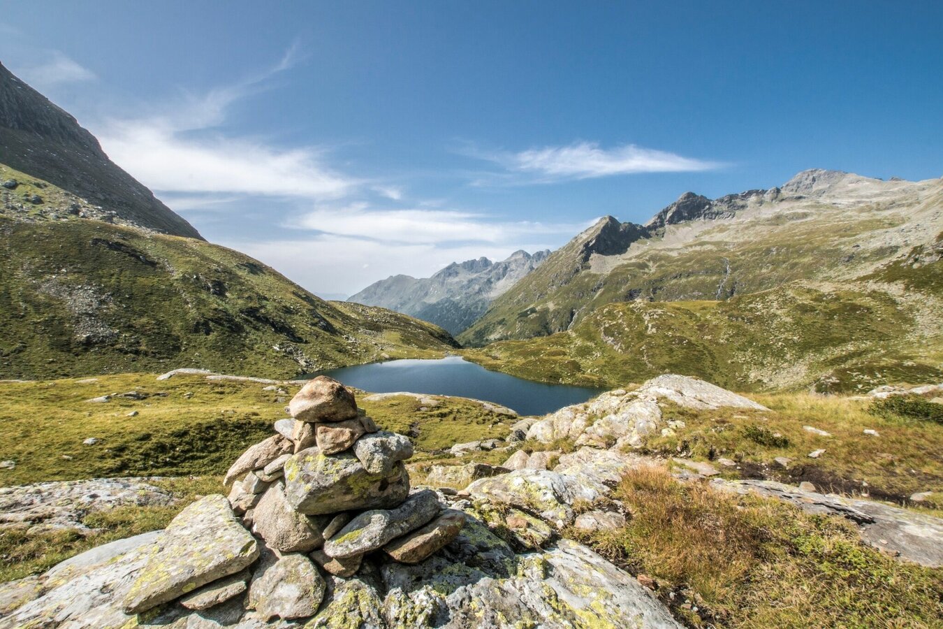
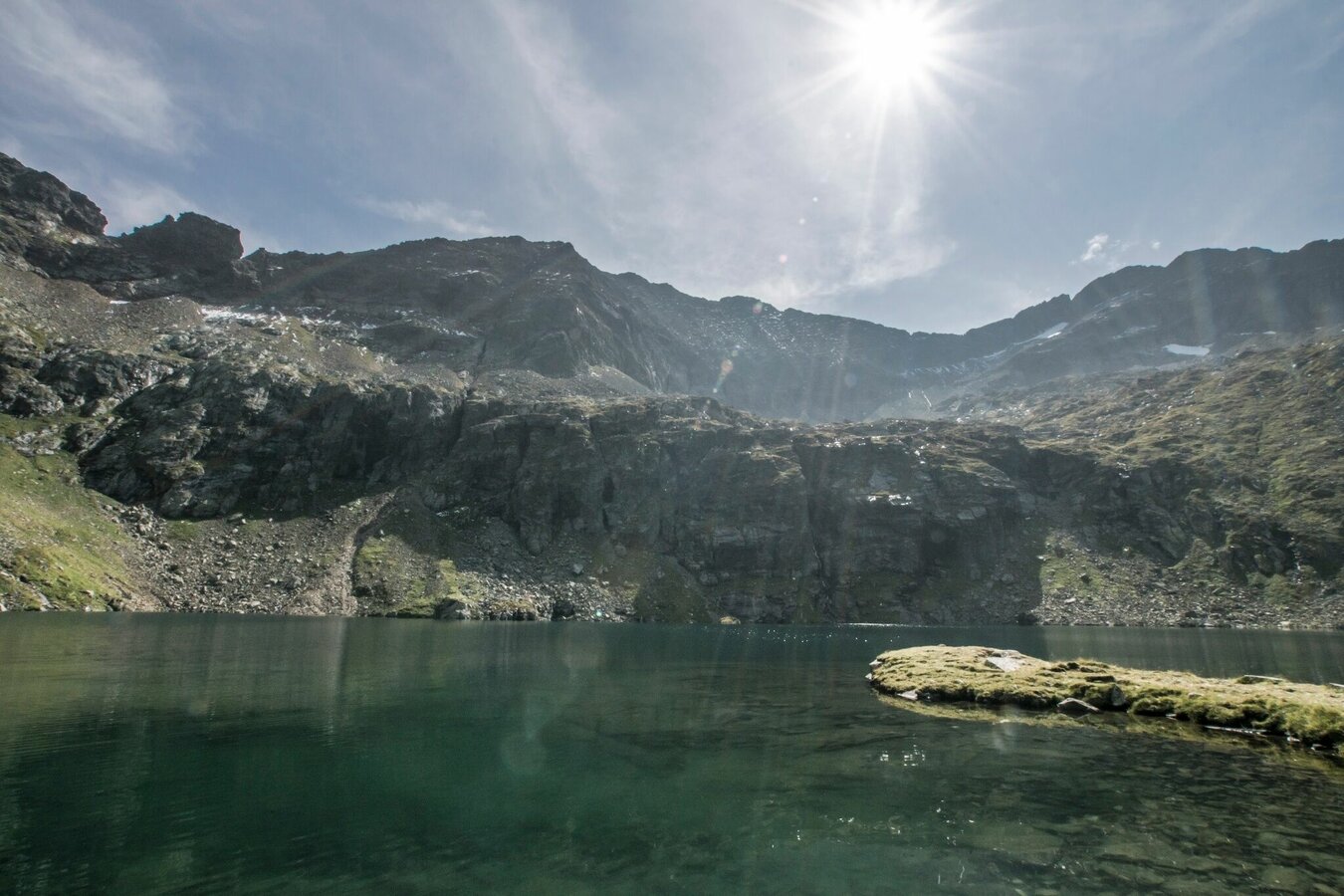
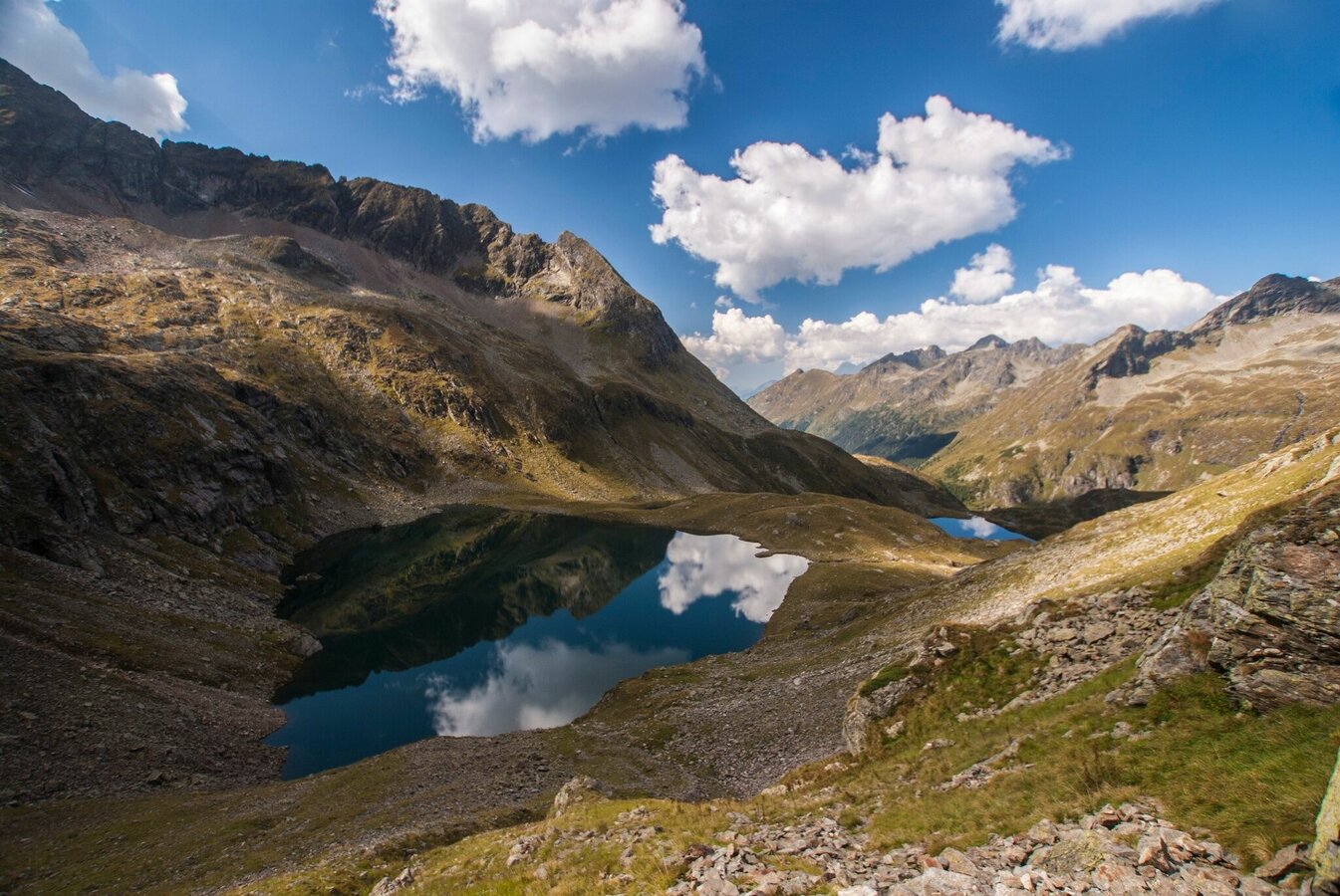
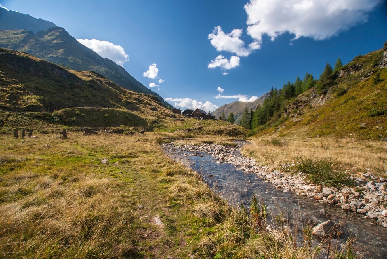
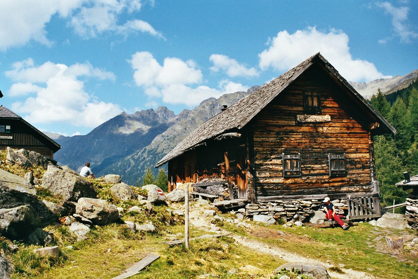
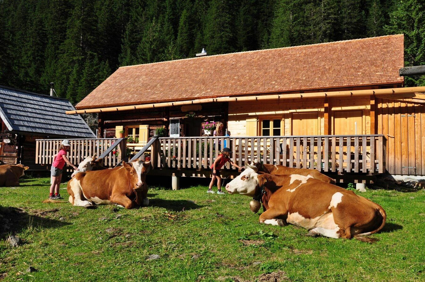
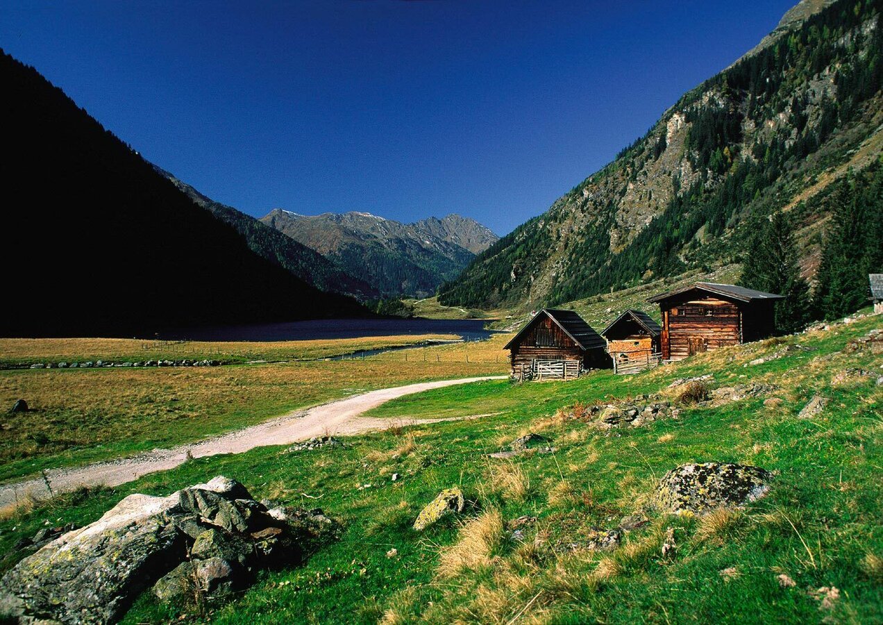

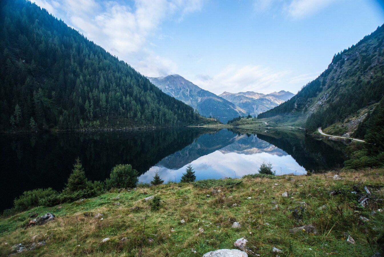
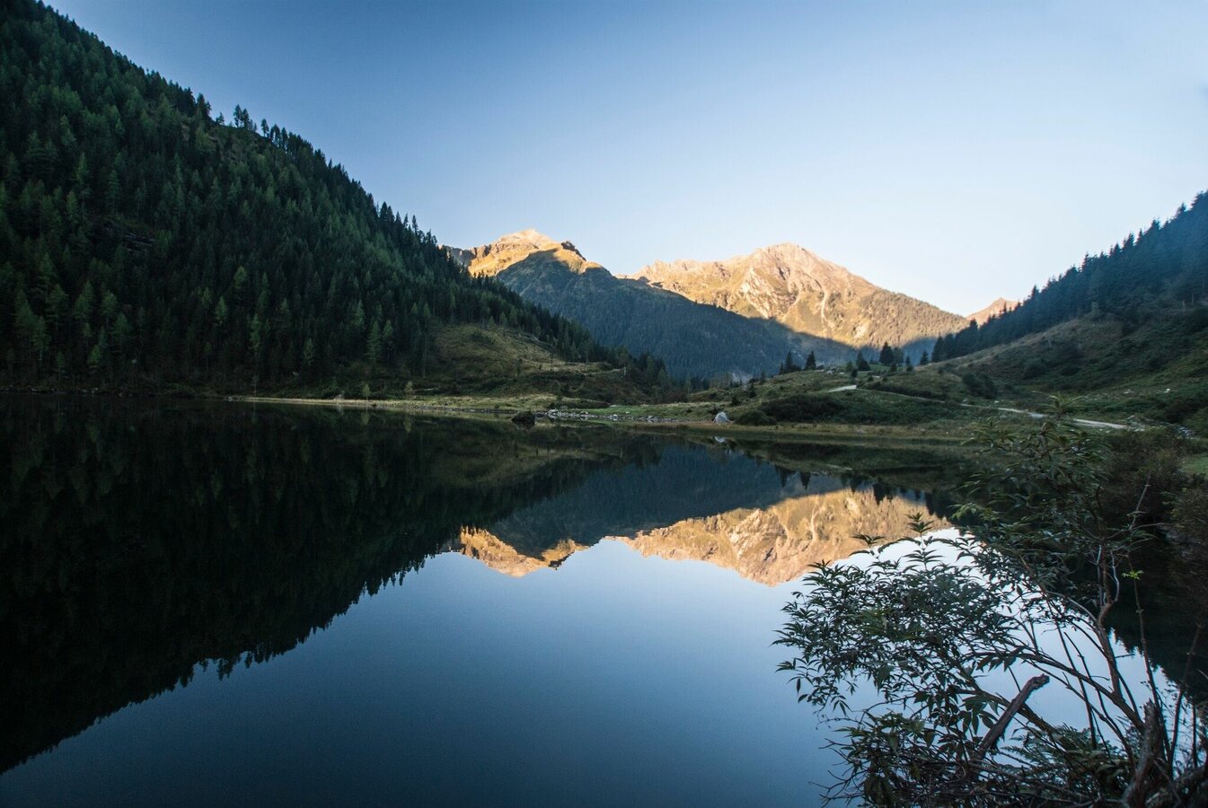
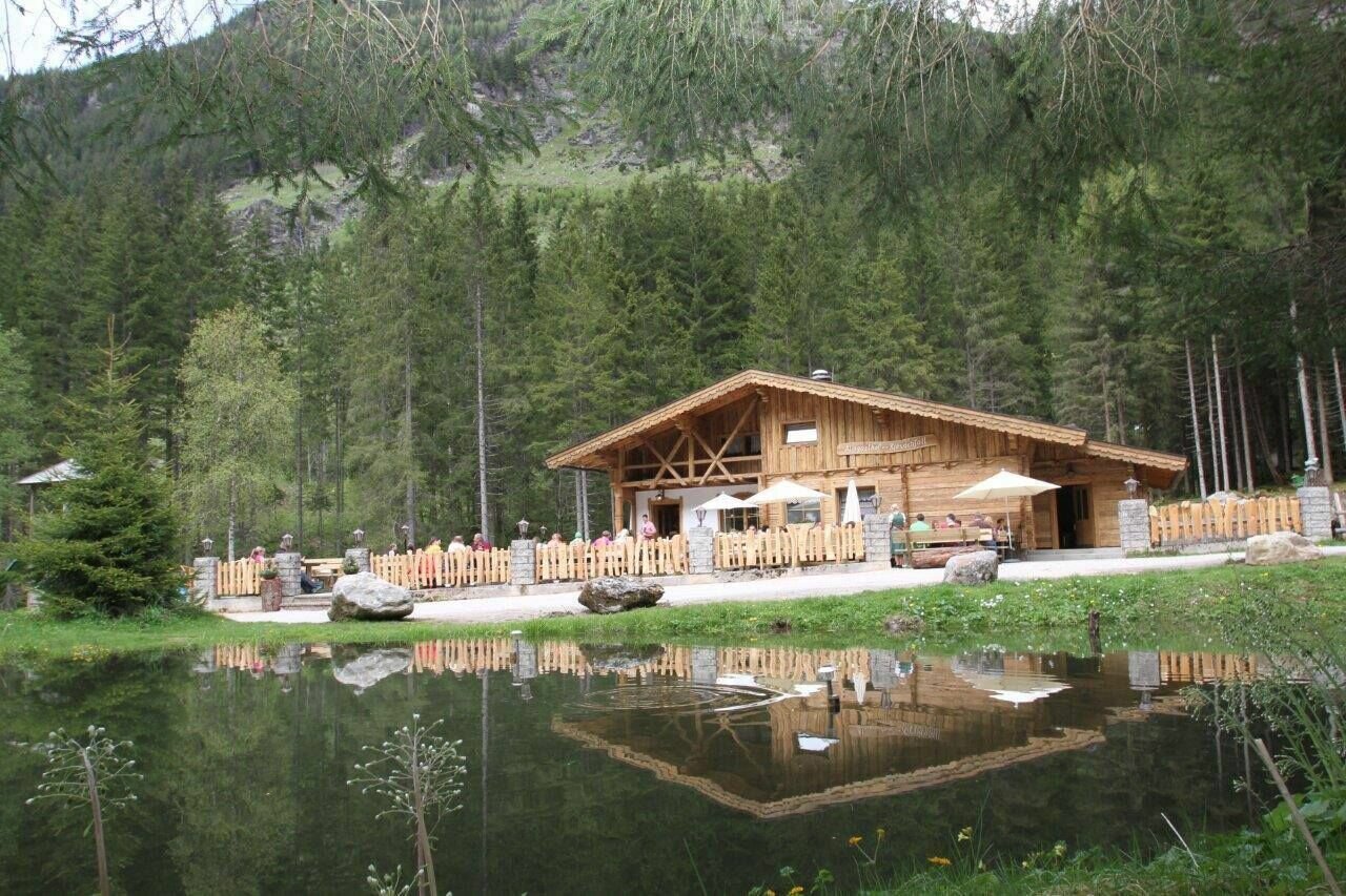


From Seeleiten car park follow trail n° 777 up to Riesach waterfall. From there follow the alpine trail through "Höll" gorge to Gfölleralm chalet. From there walk past Riesachsee Lake and pass by Kaltenbachalm and Berallerhütte chalets on the way to Preintalerhütte and Waldhornalm chalets. From the Preintalerhütte the route leads along the flat valley floor to the steep steps, and then ascends to the lower Sonntagskarsee Lake. Along the lake follow route no. 784; then gently uphill to the upper Sonntagskarsee Lake. The mighty summits of Waldhorn and Kieseck of the Sonntagskar, with its high flanks make certain that even in mid-summer there is a layer of ice on the lakes, giving it an arctic character. Return on the same path.
- Buses of Planai-Hochwurzen-Bahnen: www.planaibus.at
Changes in weather patterns, quick falls in temperature, thunderstorms, wind, fog and snow are some of the dangers that can be encountered on a hiking tour. Hosts of alpine huts and mountain refuges have a lot of experience in the mountains and can give good advice about weather and the trails. Poor equipment, overestimation of one's own capabilities, carelessness, poor personal constitution and/or wrong judgement can lead to critical situations. In case of thunderstorms: avoid summits, ridges and steel ropes.
GPS data and orienteering
Available GPS data - just like hiking maps - is only a guidance for orientation and can never depict a trail exactly with all its details. Especially at dangerous spots it is essential to judge on site how to proceed.
In an emergency please call:
- 140 - for Alpine emergencies (all over Austria)
- 112 - European GSM emergency number
Tourist information: www.schladming.com
Information about bus schedules: www.planaibus.at
360° drone images
Get yourself an overview with our 360° drone images:
- Ascent to Preintalerhütte: https://vonoben.schladming-dachstein.at/sommer/index.php?S=317
- View over Riesachsee Lake: https://vonoben.schladming-dachstein.at/sommer/index.php?S=318
- Hiking map Schladming, 1:25.000, available at the tourist office Schladming.
- Hiking map Schladming-Dachstein, 1:50.000, available at the tourist office Schladming.
- Magazine "Wild Waters", available at the tourist office Schladming.


