Winter hike to the Grimminghütte
Winter hiking trails · Stainach-Pürgg
Vlastnosti túry
Vhodnost
Zážitek
Krajina
Informace o túře
Trasa: 6.2 km
Doba trvání: 02:15 h
Výstup: 330 m
Sestup: 330 m
Nejlepší roční období
Leden
Únor
Březen
Duben
Květen
Červen
Červenec
Srpen
Září
Říjen
Listopad
Prosinec
Túra
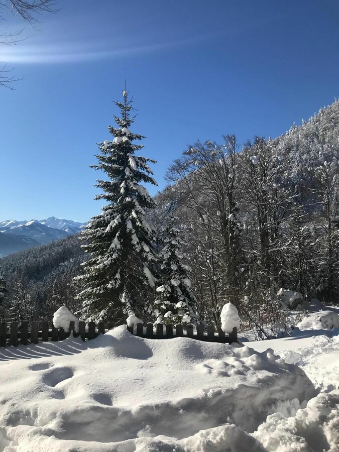
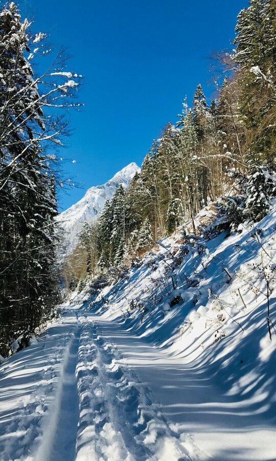
A fine winter hike for the whole family. Most of the trail is slightly uphill and also offers some nice viewpoints to rest and take pictures. Those interested in history can take a short detour to the Neuhaus church ruins (1575) after a few minutes' walk.
Fotogalerie


Více informací
Popis trasy
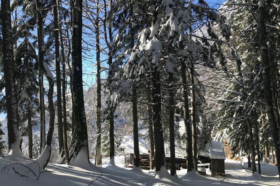
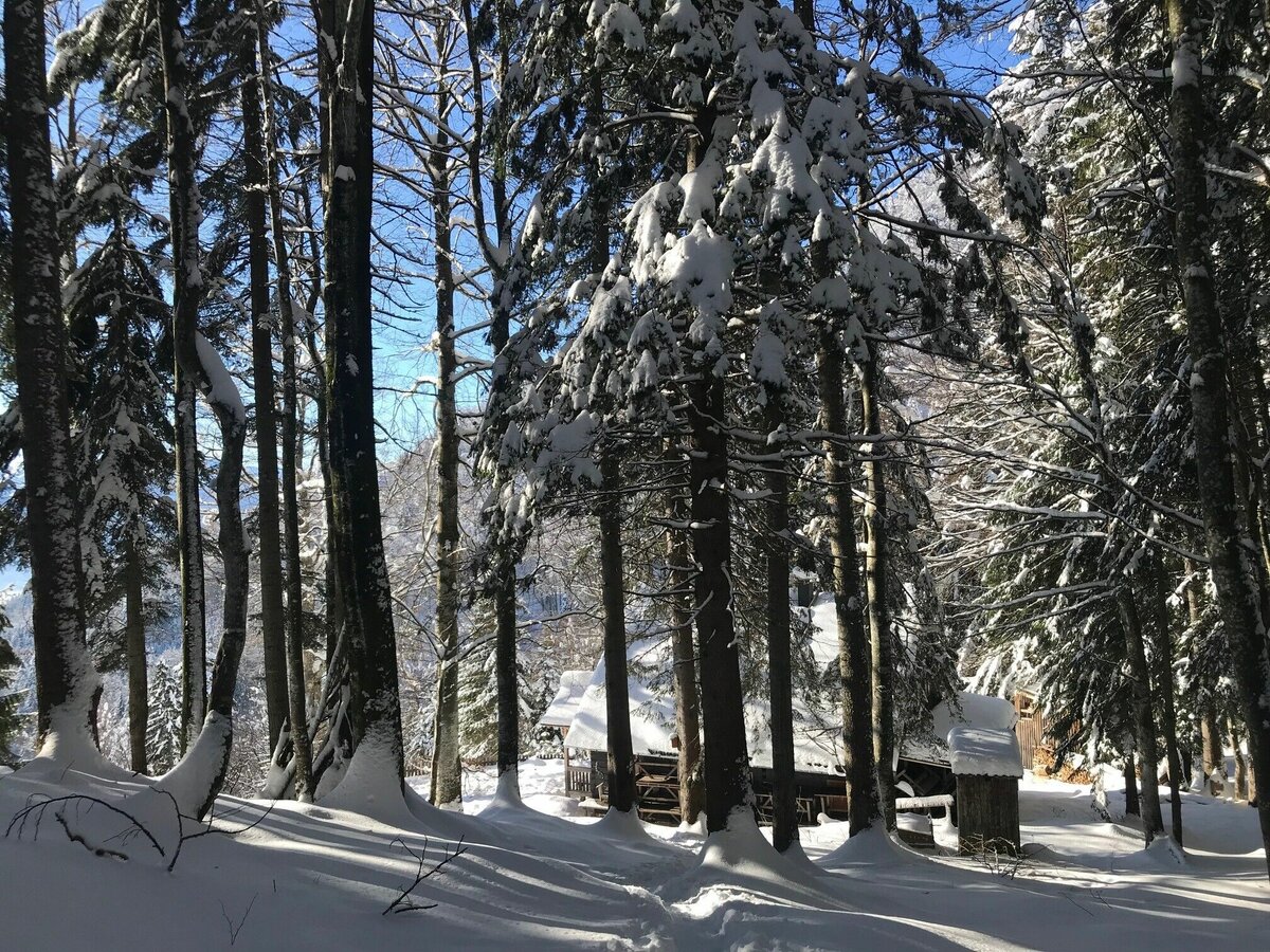
Shortly after the start you cross a bridge (below you the Ennstal federal road) and pass the Moarhof - the organic farm and the headquarters of the organic institute of the HBLFA Raumberg-Gumpenstein. You follow the path and after a comfortable hour on meadow and forest paths you reach the Grimminghütte. You will certainly find a place to take a breather, even if only in front of the hut, as the hosts are in the valley in winter and the hut is closed.
Příjezd
Coming from Schladming or Liezen, turn off the B320 at Trautenfels and take the road up to the castle in Trautenfels.
Take the bus 940/941 to the stop "Schloss Trautenfels" Bus timetable: www.verbundlinie.at
The closest train station "Stainach-Irdning" is about 3 kilometers away in Stainach.Train timetable: www.oebb.at
Parkování
A free parking lot is located below Trautenfels Castle.
Začátek
Castle Trautenfels
Cíl
Castle Trautenfels
Zabezpečení
- Plan your trip in advance, taking into account walking time, distance, elevation gain, hazards, and weather reports.
- Let others know where you are going and when you want to be back.
- Turn back in time if the weather deteriorates.
- Stay on the marked trails.
- If you are a dog owner: keep your dog on a leash and make sure it is quiet.
- The tourist office does not assume any liability based on the information provided.
- Winter mountain boots or sturdy shoes with a good profile
- Clothing according to the weather forecast
- Backpack with small food
Tipy autora
If you want to go even further up the Tressenstein, then it's best to pack snowshoes and poles!
Další informace a odkazy
Tourism information: www.schladming-dachstein.at
Tourism blog: www.derbergdastal.at
Tourist Office Schladming-Dachstein
Ramsauerstrasse 756
8970 Schladming
T: +43 3687 23310
Garbage on meadows and paths can not smell mountain and valley. Please take it with you. Agriculture and forestry are important partners for Berg und Tal. They allow you to walk and drive on many of their paths. Be aware that only good cooperation will guarantee your recreational enjoyment in the future.
- GRIMMING-DONNERSBACHTAL Hike & Bike Map (1:31.000). Available free of charge at the tourist offices of Berg & Tal.
- SCHLADMING-DACHSTEIN Hike Map (1:50.000)
- KOMPASS Map 68, Ausseerland-Ennstal 1:50.000, Hiking, Biking, Ski tours
Předpověď počasí
Vybrat datum
Partly sunny during the day after light rain at daybreak.
Dry and partly sunny throughout the day, with cloudy periods from time to time.
Sunny in the morning, but increasingly cloudy during the day. Showers will be possible towards evening.


