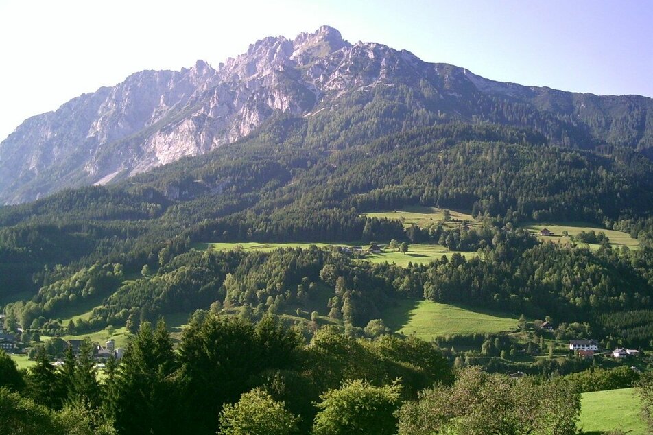
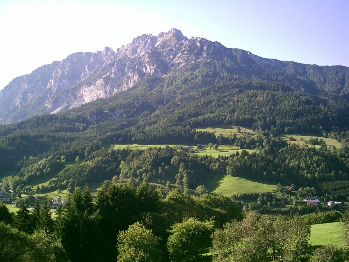
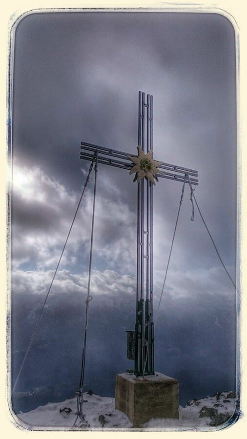
To the Top of the Gröbminger Kammspitze - elev. 2.139 m
obtížné Hiking · Gröbminger Land
After the farmsteads, a path branching off to the left takes us on a beautiful climb through the forest to a forestry road – along which we continue as far as the Säbelboden. The trail leading off to the right towards the Zirmel takes us initially through a hollow, then comes a steep stage below the Kranzbach Kogel to the ridgeline (1,712 m). Following the ridge, we come to a mountaintop known as the “Zirmel”. Things now become steadily steeper, we cross the northern flank, then make our way over rock (secured) to the summit. What makes this summit so unique is its wild, craggy crest, especially off to the west. But the views of Gröbming and the nearby Grimming are spectacular, as are those of the Tauern mountains. To the north, at a little lower elevation, lies the Viehbergalm and the small Miesbodensee, as well as the rocky alpine terrain of the land “Am Stein”. As for the hike back: either via the Zirmel, or experienced mountaineers might wish to scramble down the short chimney to the south, then hike through the many switchbacks on trail No. 677 as far as the trail crossing. We either make a left to the Säbelboden, then return along the same route we initially hiked up, or take No. 677 all the way back down to Gröbming.
Fotogalerie


Steep and long ascent. Safety ropes across the ridge.
Safety information
Safety on the mountainside: changes in the weather, sudden fall in temperature, thunder storms, wind, fog and snow fields are all objective dangers and require the correct behaviour whilst underway. the landlords of the huts are all very knowledgeable about the mountains and can give you good tips about the weather and the routes. Insufficient equipment, exaggerated opinion of ones capabilities, frivolousness, poor health condition and a false evaluation of the situation can lead to a critical situation. In thunder storms: summits, crest-sites and safety rope aids are to be avoided.
If something should happen call following emergency numbers:
No. 140 - the number for all Alpine Emergencies in all of Austria
No. 112 - European emergency call GSM emergency-call-service
Safety information
Safety on the mountainside: changes in the weather, sudden fall in temperature, thunder storms, wind, fog and snow fields are all objective dangers and require the correct behaviour whilst underway. the landlords of the huts are all very knowledgeable about the mountains and can give you good tips about the weather and the routes. Insufficient equipment, exaggerated opinion of ones capabilities, frivolousness, poor health condition and a false evaluation of the situation can lead to a critical situation. In thunder storms: summits, crest-sites and safety rope aids are to be avoided.
If something should happen call following emergency numbers:No. 140 - the number for all Alpine Emergencies in all of AustriaNo. 112 - European emergency call GSM emergency-call-service
sturdy shoes, rain gear, rope is necessary
Take enough drinking and food with you - you will need that for this tour!
Tour at your own risk! No liability is accepted for any given or occurring alpine driving (weather, etc.).


