
2-day-tour: Giglachsee Tour
střední Multi-day tours · Schladming
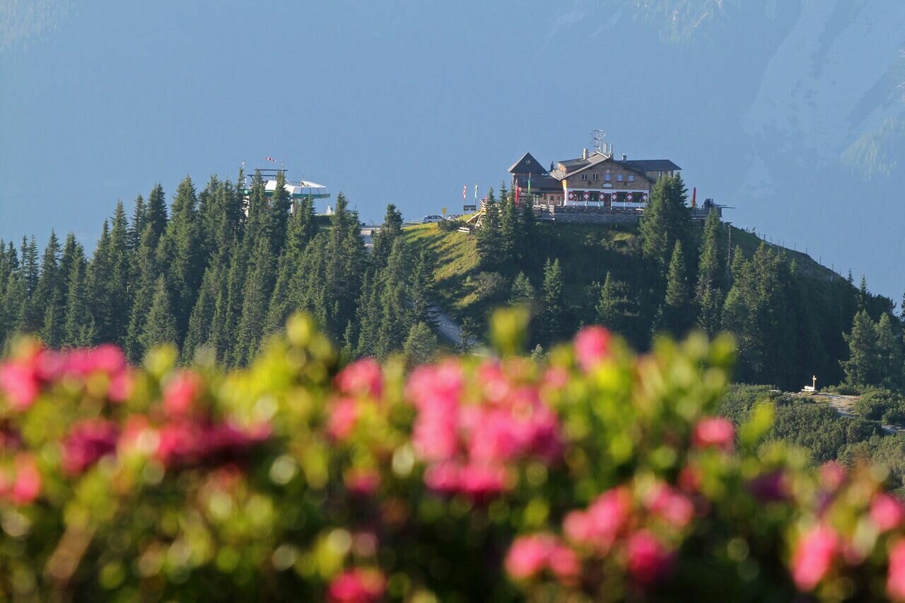
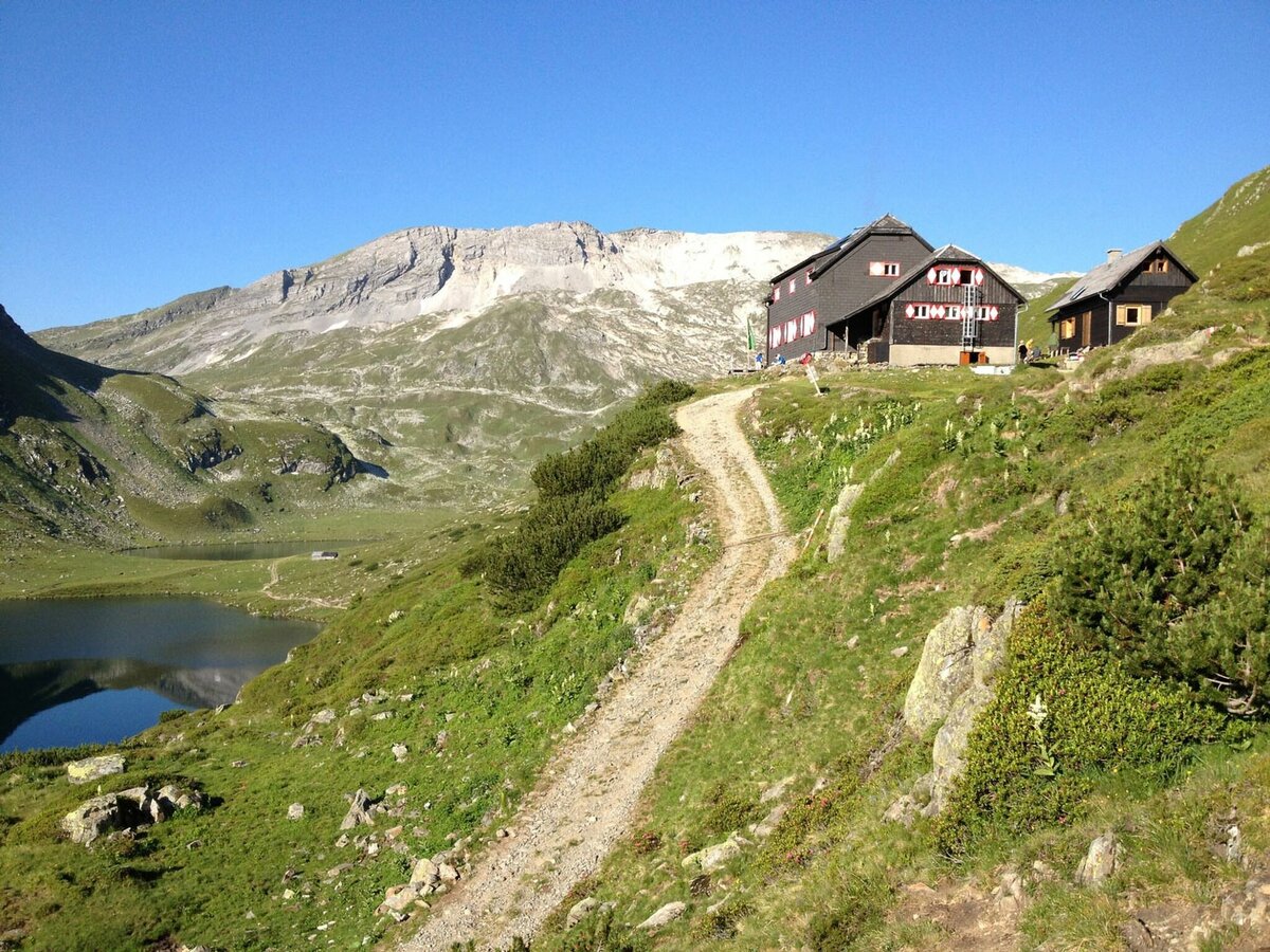
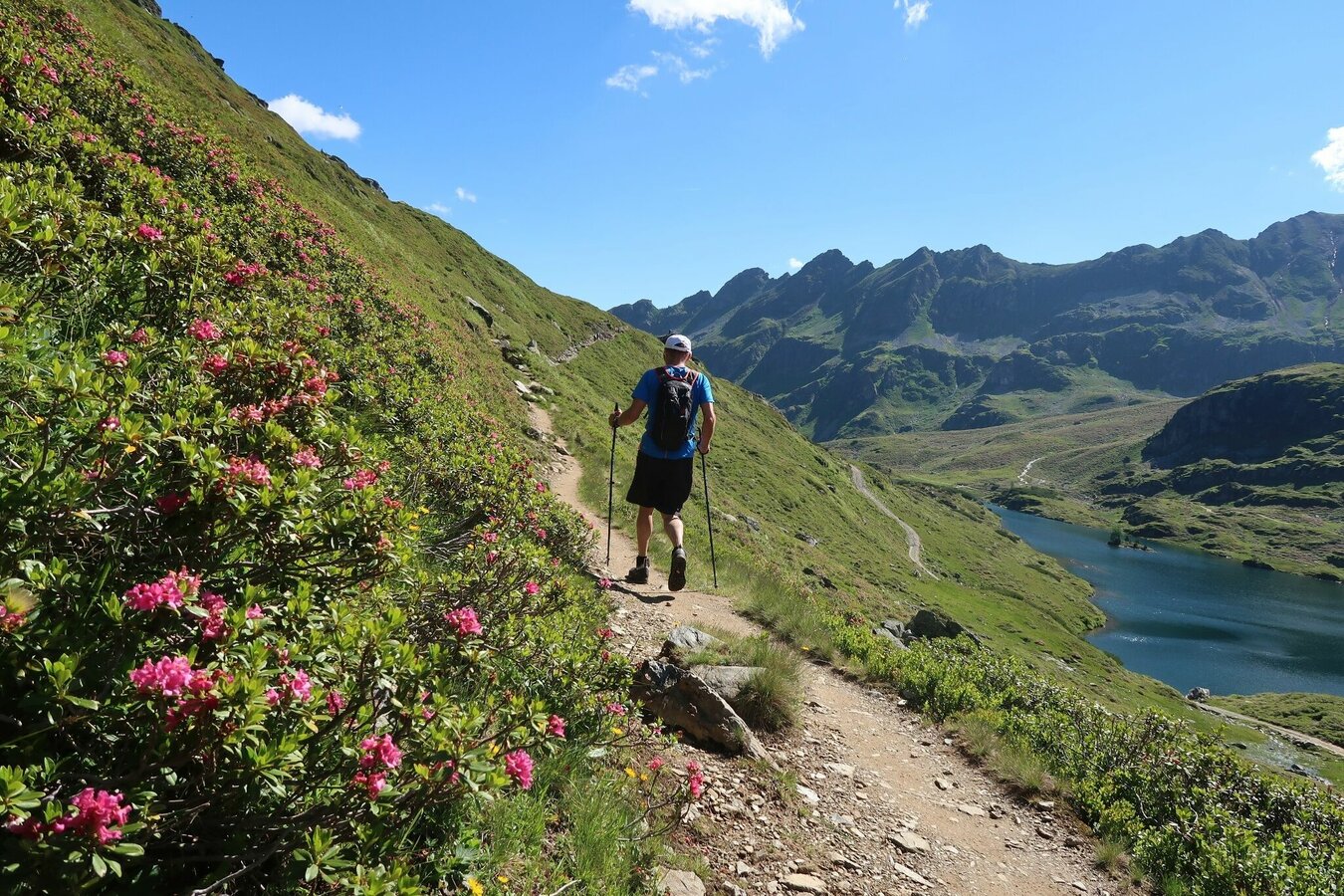
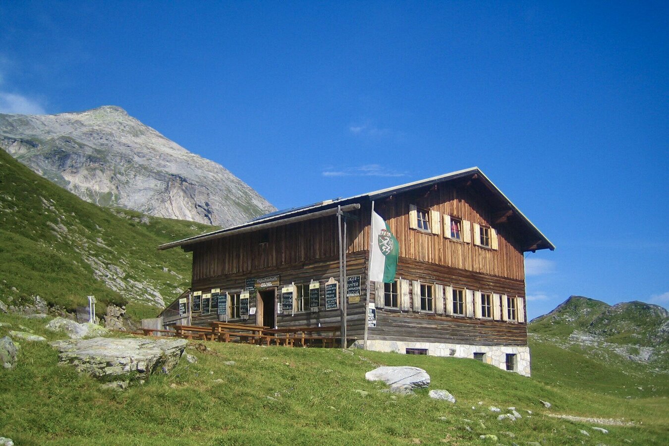
A 2-day-tour via the Hochwurzen High Trail into the midst of the Schladminger Tauern. Numerous tarns and summits lie along the way, and you make a loop around the limestone summits of Steirische and Lungauer Kalkspitze. The route is a mountain trail across alpine pastures with some rocky sections and high pastures. Around the Kalkspitzen summits limestone with dolines is the main characteristic of the scenery. With Hochwurzenhütte, Ignaz-Mattis-Hütte, Giglachseehütte, Oberhütte, and Ursprungalm there are several refreshment stops inviting you for a rest and to have a drink or a meal.
Highlights:
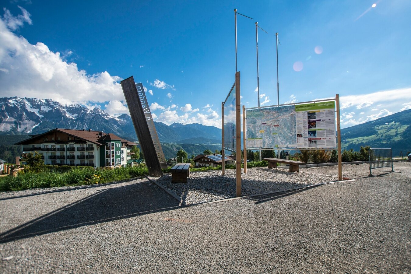
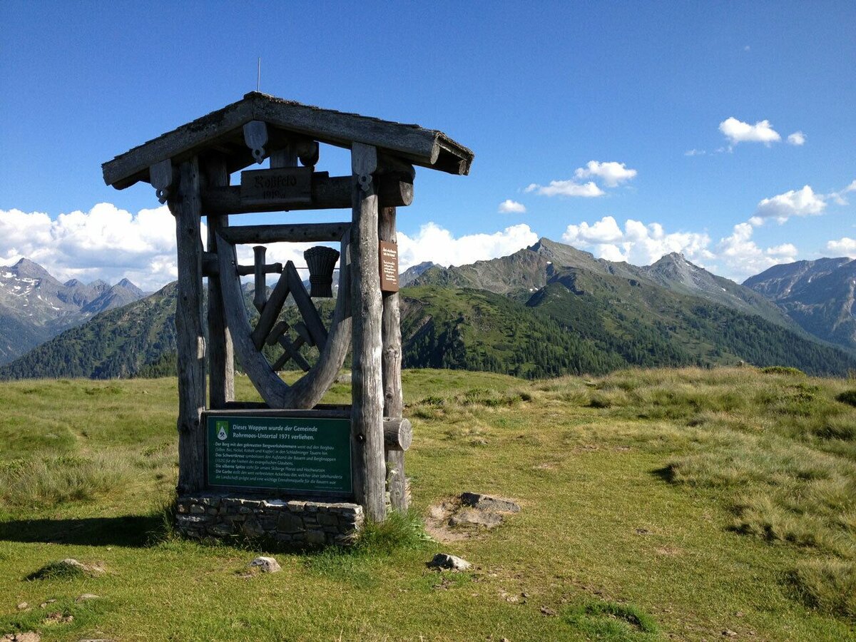
- Rossfeld - a grassy ridge with a wooden sculpture on its summit
- Hochwurzen High Trail with the summits of Guschen, Hochfeld and Schiedeck
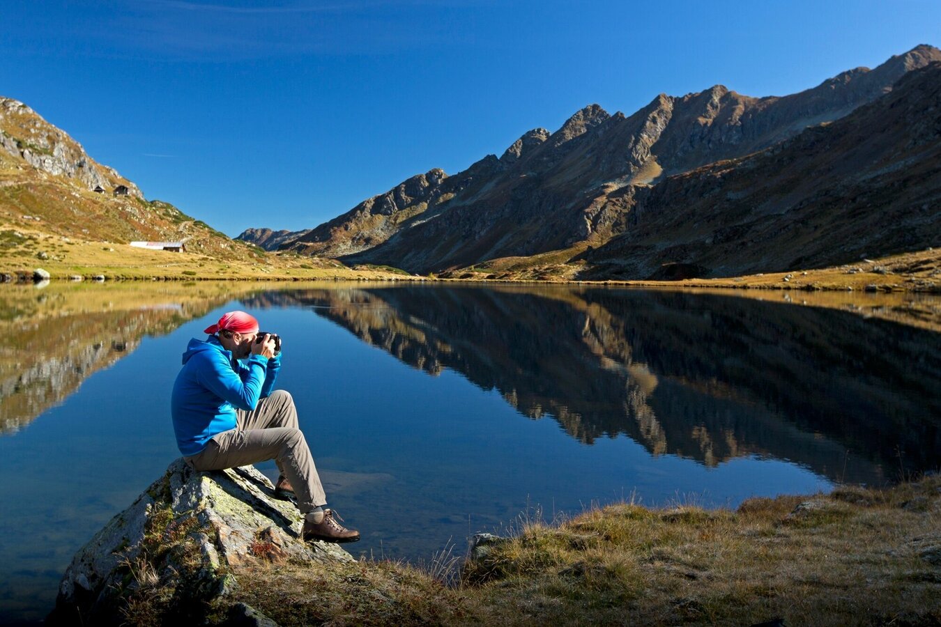
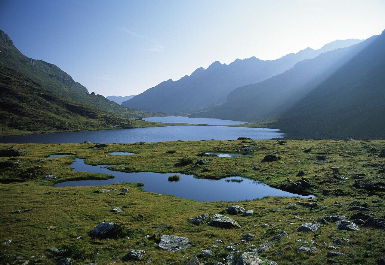
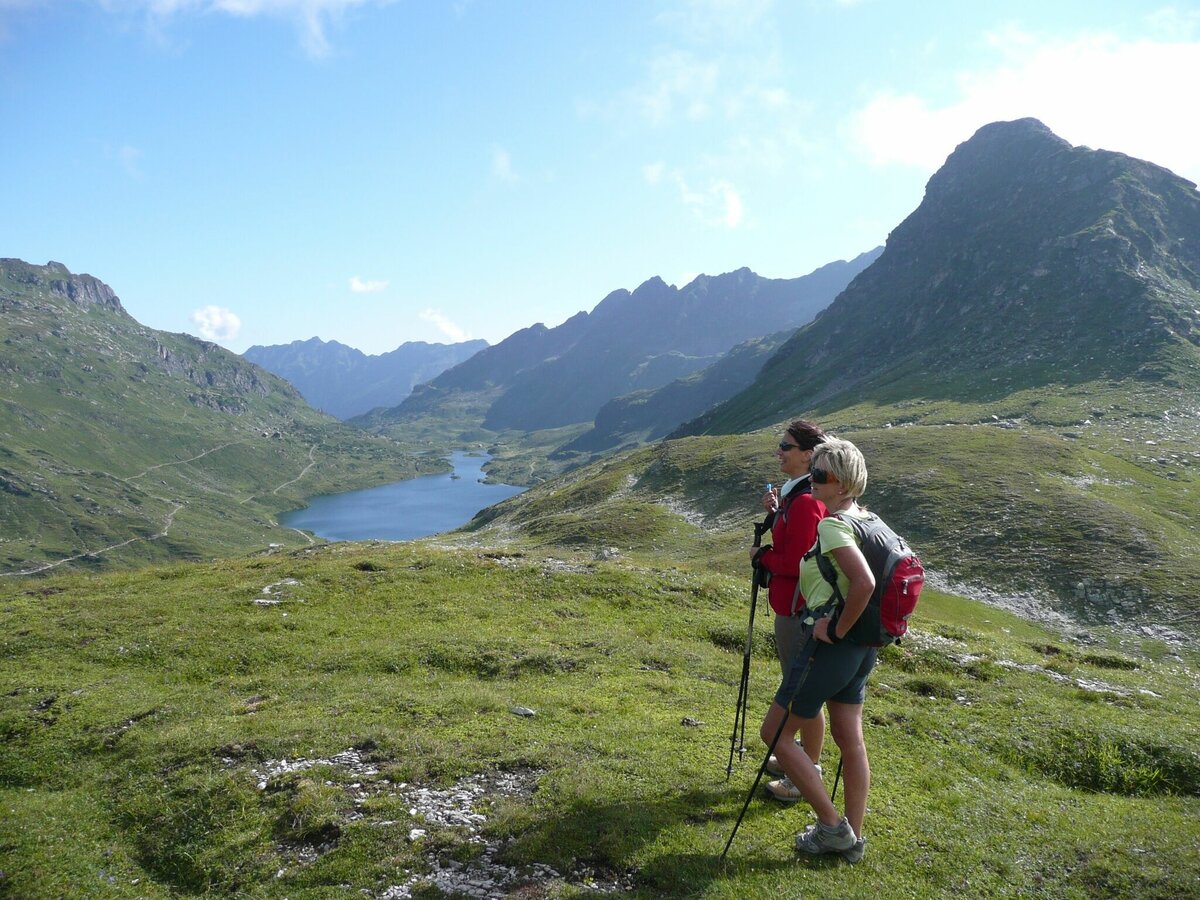
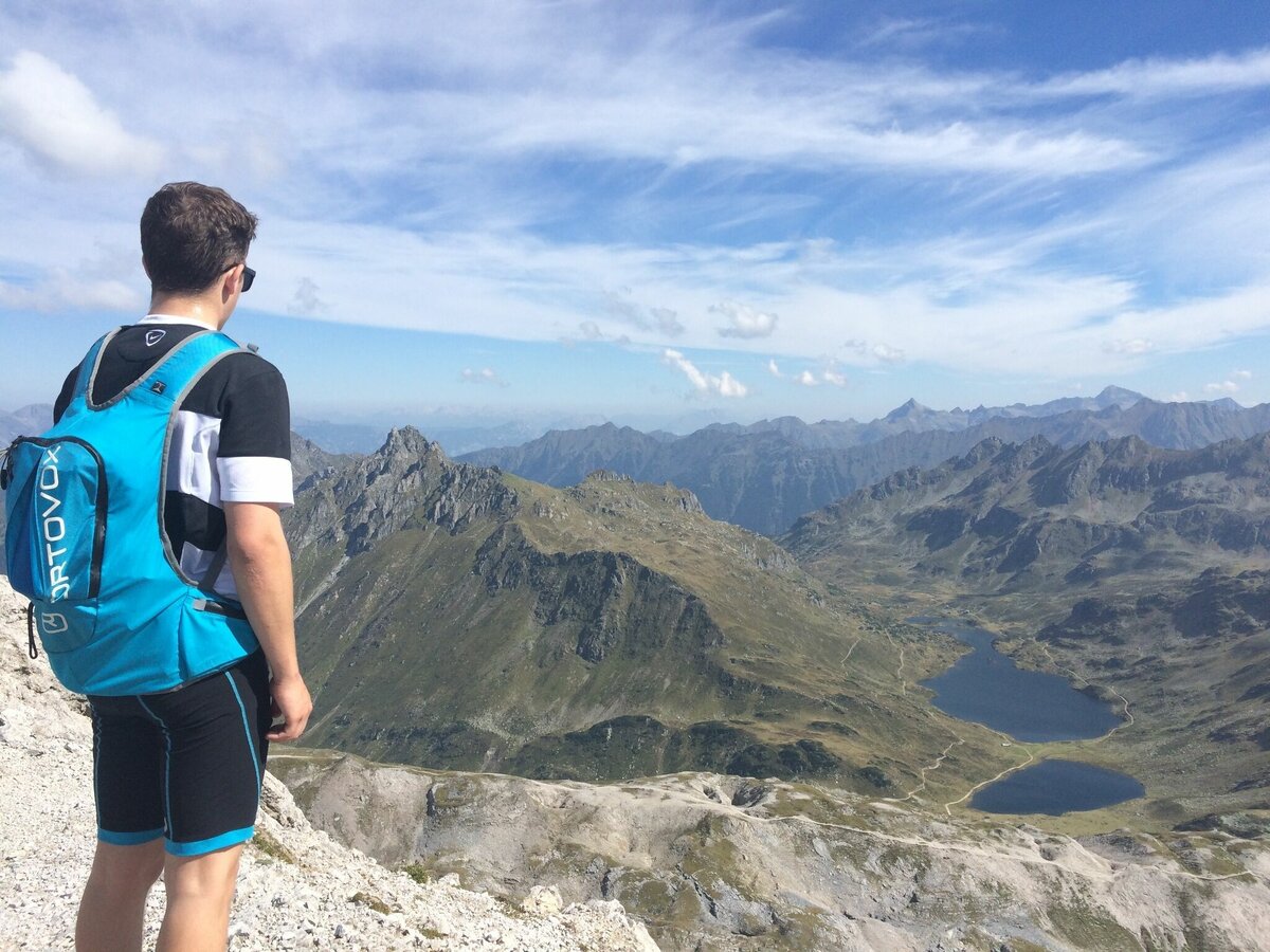
- Klammsee and Brettersee tarns, Giglachseen Lakes and Oberhüttensee tarn
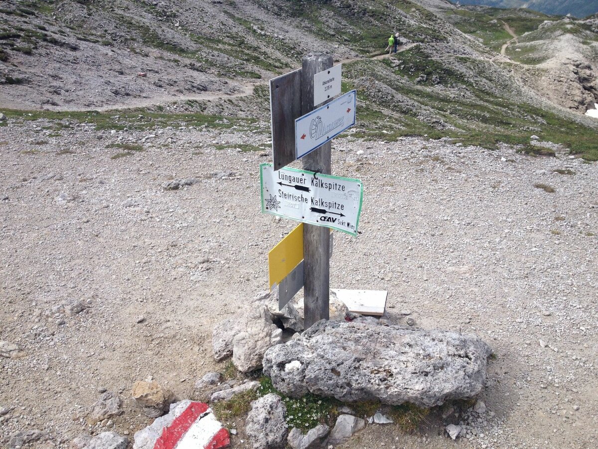
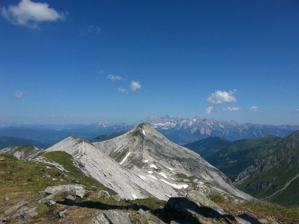
- Steirische & Lungauer Kalkspitze summits
- Ursprungalm cirque with its picturesque alp scenery
Fotogalerie


1st day:
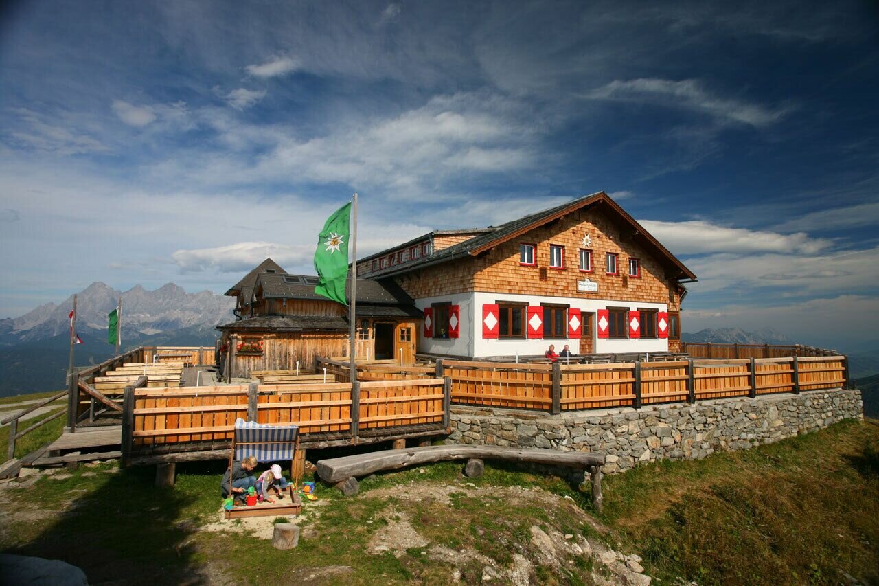
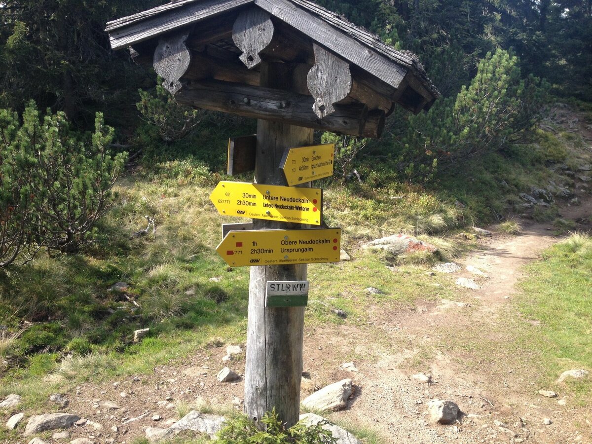
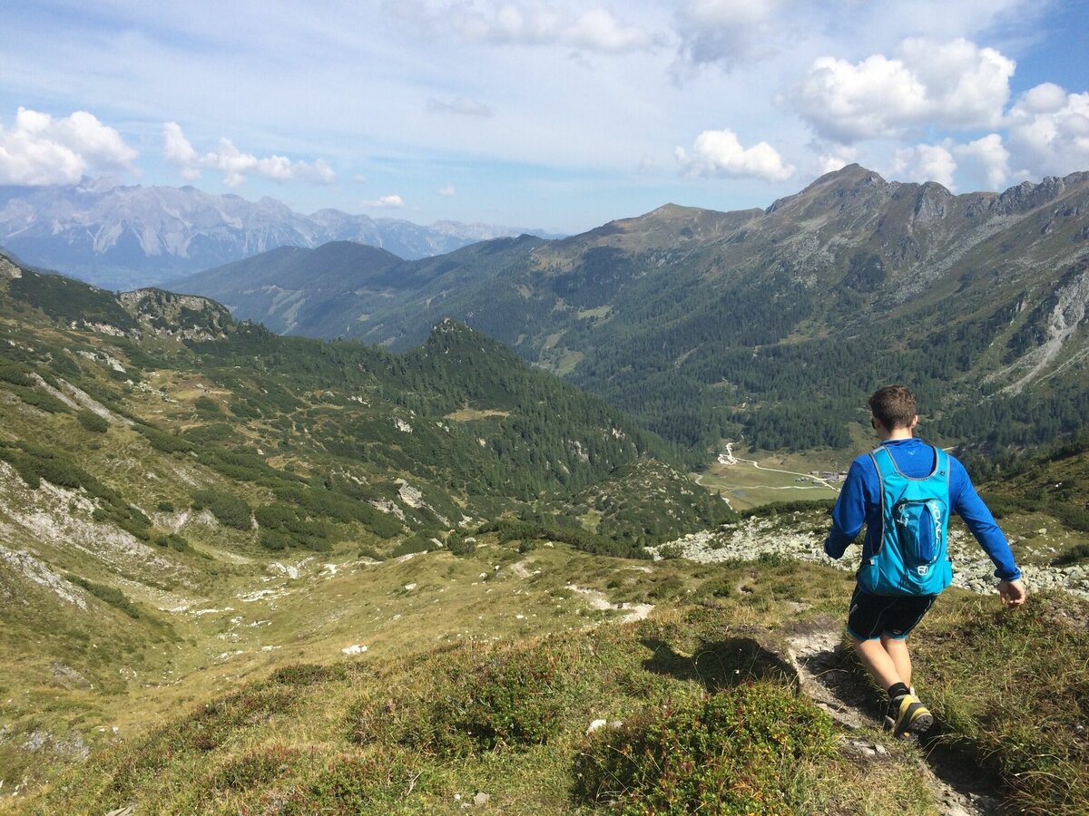
You can start the tour at the ground or at the mountain station of the Hochwurzen (extra 2 hours from the ground station via path Nr. 60 or the Vierjahreszeiten path). From the summit of the Hochwurzen down via the Latschengasse to the Hüttecksattel. We take the nature trail up to the ridgeline of the Rossfeld. Bizarre Swiss pine flank the path which takes us gently downhill to the Latterfusssattel. From the Guschen, through open terrain via the »Schneider« along the western flank of the Hochfeld to the foot of a striking summit known as the »Schiedeck«. The Klammsee, Brettersee and the Kampspitze, along with the boldly formed Kampzähne, are the heart of this unique hike. The Giglachsee is also in view! The trail now takes us in a series of steep switchbacks down to the Ignaz-Matthis Hütte. The overnight stay is possible wether at the Ignaz-Matthis Hütte or at the Giglachseehütte (20 minutes walk). Please book a sleeping place in advance, phone: Ignaz-Mattis Hütte 0043 664 4233823, Giglachseehütte 0043 664 9088188.
2nd day
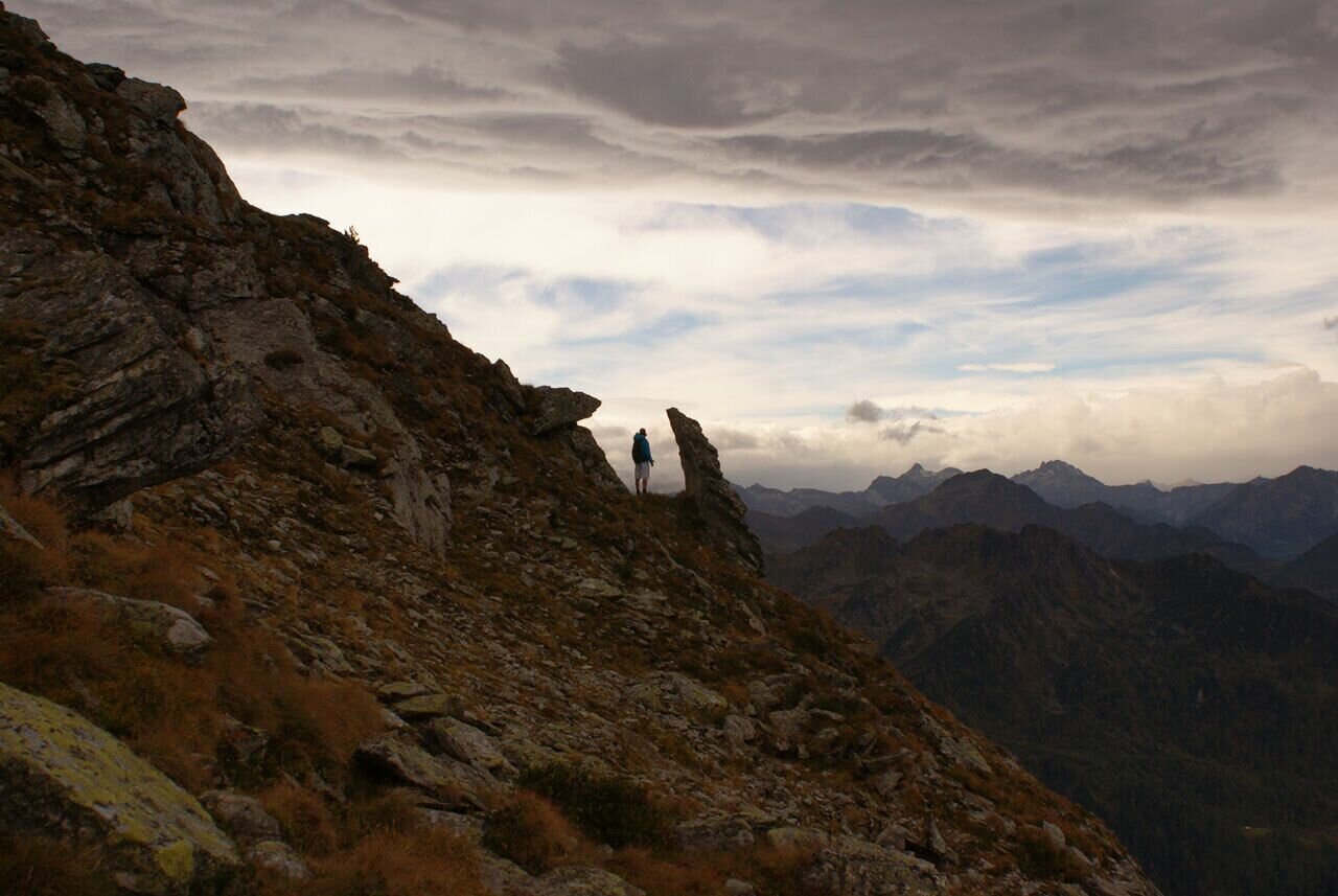
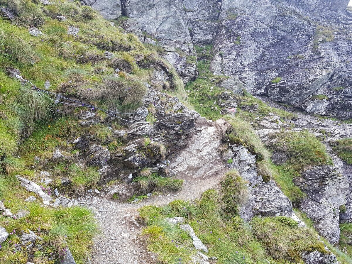
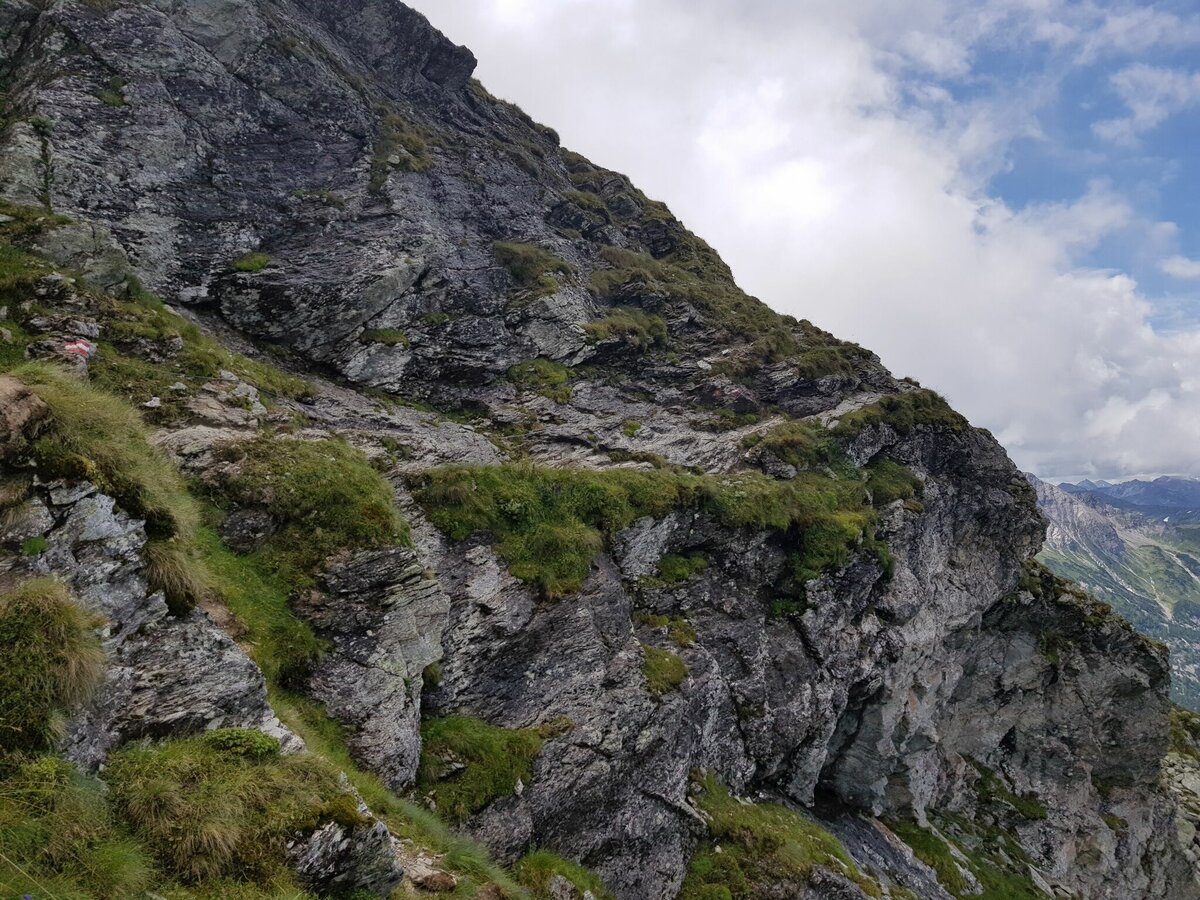
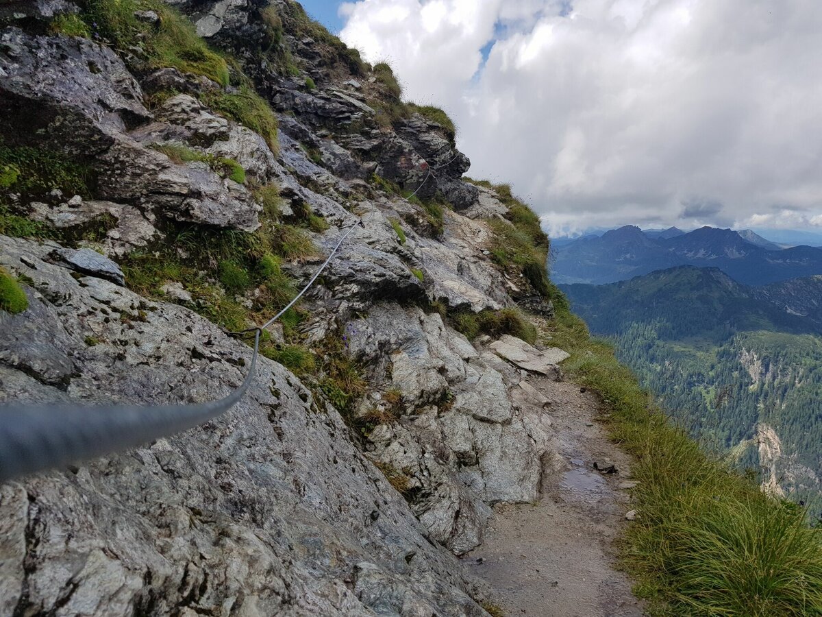
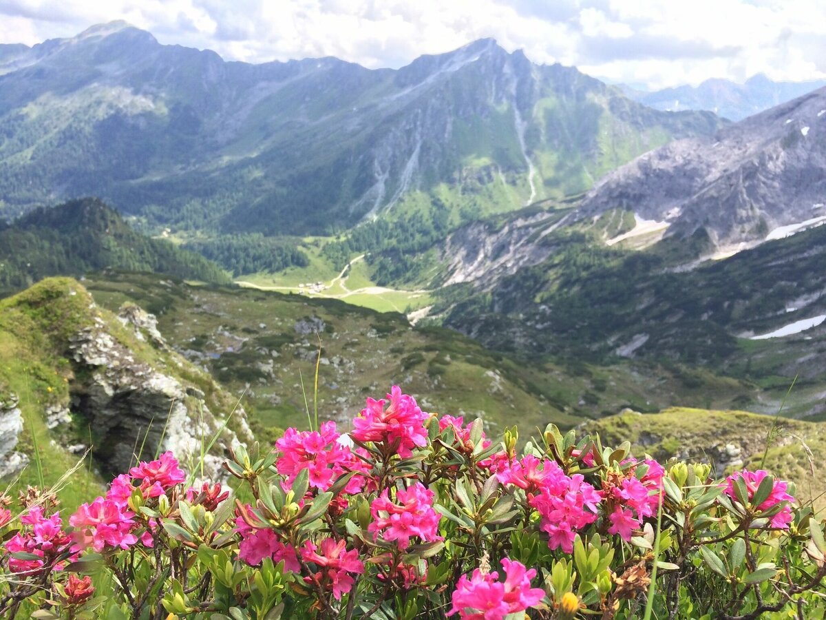
After having a mountain breakfast you walk along the path (no. 702) in wide bends to the Znachsattel saddle and one overcomes a large height difference. One is underway in a limestone area and that is easily recognisable in the beautiful flora. Then continue with a moderate climb over the ridge past some crevasses, a typical karst landscape, till you reach the Akarscharte. That is a single saddle between the two summits: to the right the (Styrian) Steirische Kalkspitze and to the left the Lungauer Kalkspitze. The ascent to the Styrian summit is slightly steeper and be careful at the top – sure-footedness required. You reach the Lungauer Kalkspitze via a long ridge, in which there are, no difficulties to overcome. Both ascents from the saddle don’t take longer than 20 – 30 minutes. The views from the summits are superb.
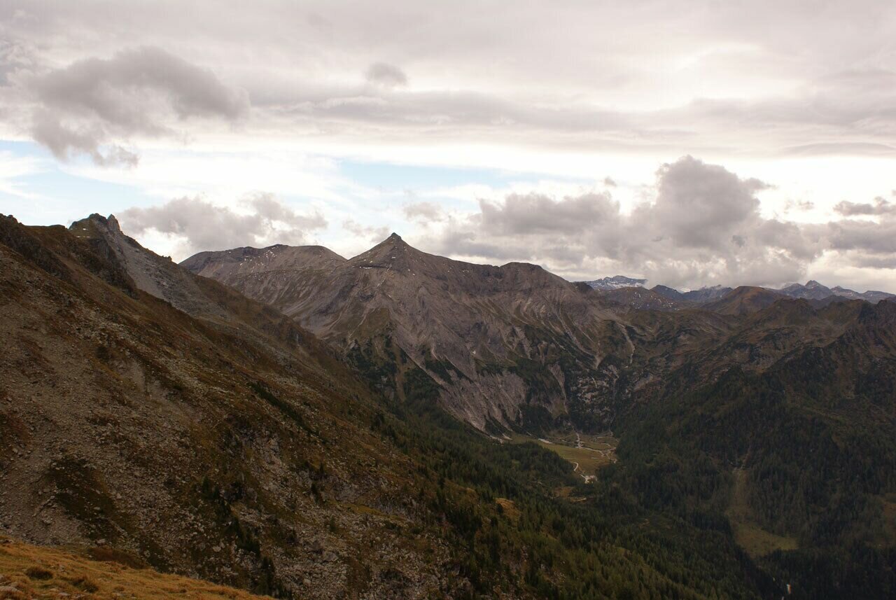
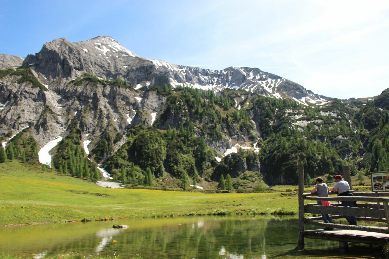
Follow the route No. 702 downhill from the Akarscharte to the Lake Oberhüttensee. After the Akarscharte one walks through an interesting landscape: crevasses, rounded hunchbacks line up and the light rock in the middle of the primary rock forms the surrounding mountains shows a “Limestone-Window” in the prehistoric rocks. An ascent of 500 m. The Lake Oberhüttensee and its hut make a lovely resting place, before one has to continue through Brotrinnl and a 200 m ascent (steady-footing) and then descend via the Kranzlhöhe Heights on a narrow path through the charming landscape to the Ursprung Alp.
- Buses of Planai-Hochwurzen-Bahnen: www.planaibus.at
Be careful of pathway at Brotrindl - lose & crumgling rocks and soil. Sturdy shoes. Steady footing. Surefootedness, a head for heights and alpine experience required!
Changes in weather patterns, quick falls in temperature, thunderstorms, wind, fog and snow are some of the dangers that can be encountered on a hiking tour. Hosts of alpine huts and mountain refuges have a lot of experience in the mountains and can give good advice about weather and the trails. Poor equipment, overestimation of one's own capabilities, carelessness, poor personal constitution and/or wrong judgement can lead to critical situations. In case of thunderstorms: avoid summits, ridges and steel ropes.
GPS data and orienteering
Available GPS data - just like hiking maps - is only a guidance for orientation and can never depict a trail exactly with all its details. Especially at dangerous spots it is essential to judge on site how to proceed.
In an emergency please call:
- 140 - for Alpine emergencies (all over Austria)
- 112 - European GSM emergency number
A well-packed backpack is helpful and especially when touring Alpine terrain a tuque, gloves, a windproof jacket and pants are standard equipment. Good, waterproof shoes, sun glasses, sun cream and sufficient beverages are essential too. Torch light, a map of the area, knie and a small first-aid kit should also be in the backpack.
For the night please bring a sleeping bag with you, which is required on the huts.
For the overnight stay we recommend a reservation at one of the chalets:
- Giglachseehütte: +43 664 90 88 188
- Ignaz-Mattis-Hütte chalet: +43 664 42 33 823
Tourist information: www.schladming.com
Information about bus schedules: www.planaibus.at
Information about cable-car hours: www.planai.at
360° drone images
Get yourself an overview with our 360° drone images:
- Hochwurzen, Rossfeld & Guschen: https://vonoben.schladming-dachstein.at/sommer/index.php?S=305
- Hochfeld and Schiedeck: https://vonoben.schladming-dachstein.at/sommer/index.php?S=306
- View over Giglachkar cirque: https://vonoben.schladming-dachstein.at/sommer/index.php?S=307
- Giglachseen and Kalkspitzen summits: https://vonoben.schladming-dachstein.at/sommer/index.php?S=308
- Lower Giglachsee Lake and Vetternkar cirque: https://vonoben.schladming-dachstein.at/sommer/index.php?S=309
- Hiking map Schladming, 1:25.000, available at the tourist office Schladming.
- Hiking map Schladming-Dachstein, 1:50.000, available at the tourist office Schladming.


