Schwarzensee
Family hikes · Naturpark Sölktäler
From November 1, 2022 the access road to the Breitlahnalm will be closed. In case of snowfall, the road can be closed earlier by the municipality due to avalanche danger.
The road to the Breitlahnalm is closed from Kohlung due to avalanche danger!
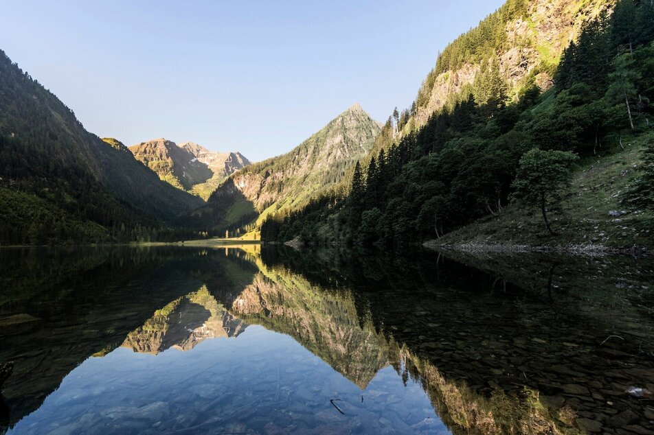
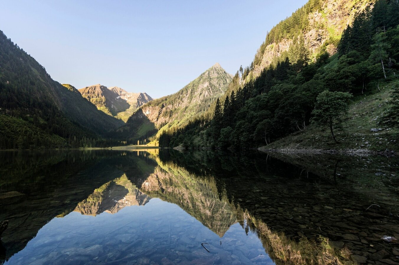
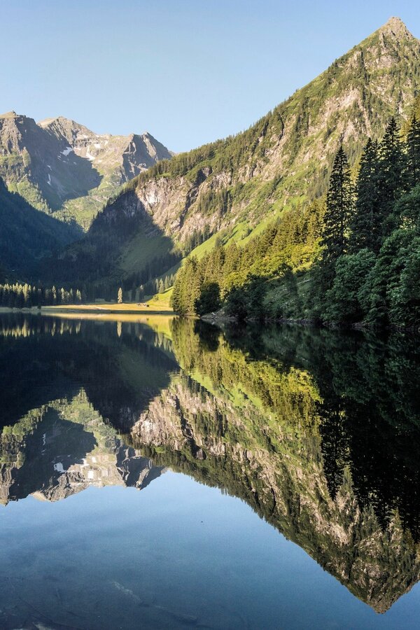
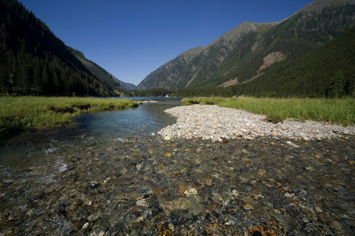
The further we drive into the Kleinsölktal, the more imposingly the steep forested hillsides ascend towards the peaks above. From the Breitlahn Hütte, a broad path takes us on an almost flat walk alongside the Kleinsölk stream to the Schwarzensee. Three sides of this lake are surrounded by dark forest, standing along the shore are a number of enormous, ancient alpine maples. And in good weather, whenever we come to a clearing, we can enjoy enchanting reflections off the lake.
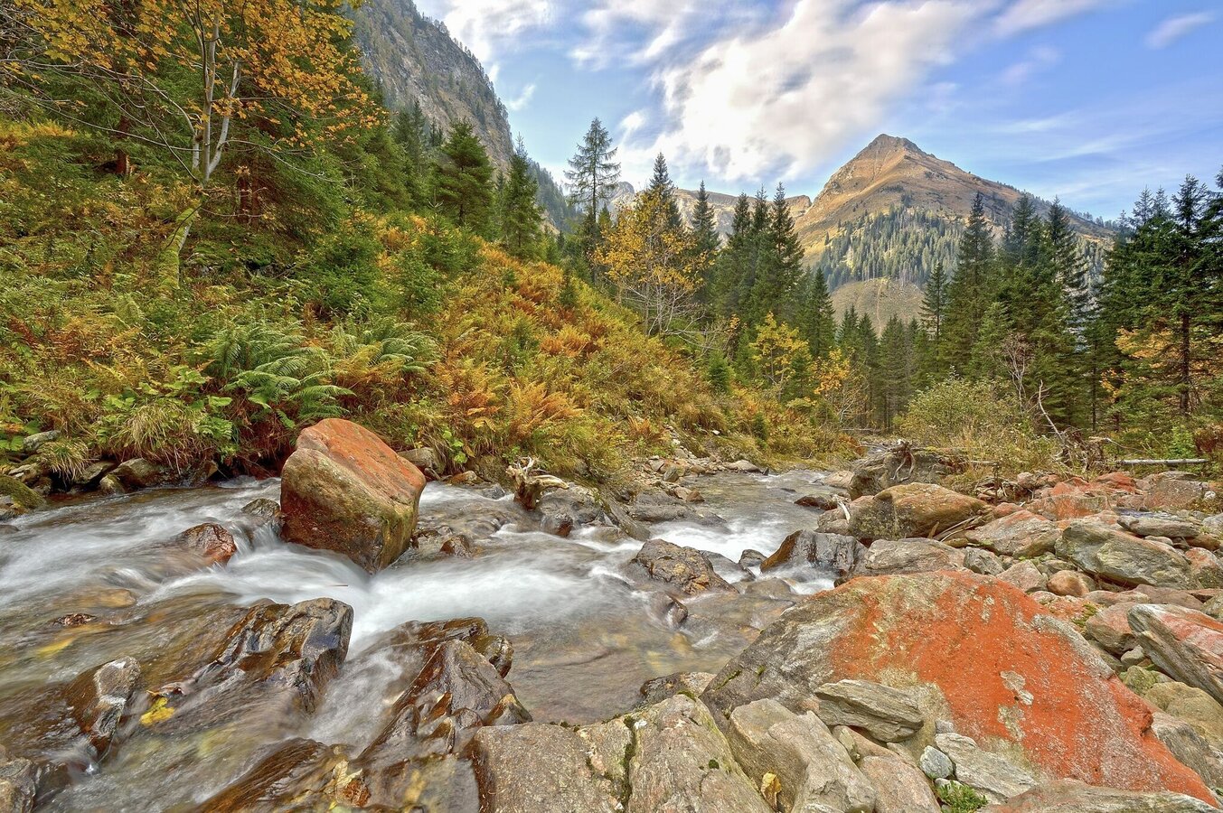
In spring and early summer, a veil of waterfalls cloaks the cliffs of the cirque, rhododendron are in bloom and, by the end of June, the cows have already been driven up here and the cowherds are working hard. Gigantic blocks of rock serve as protection for these rustic alpine huts, each roofed with wooden shingles and blending perfectly into the surrounding countryside.
The western shore of the Schwarzensee is closed due to danger of falling rocks!
Fotogalerie
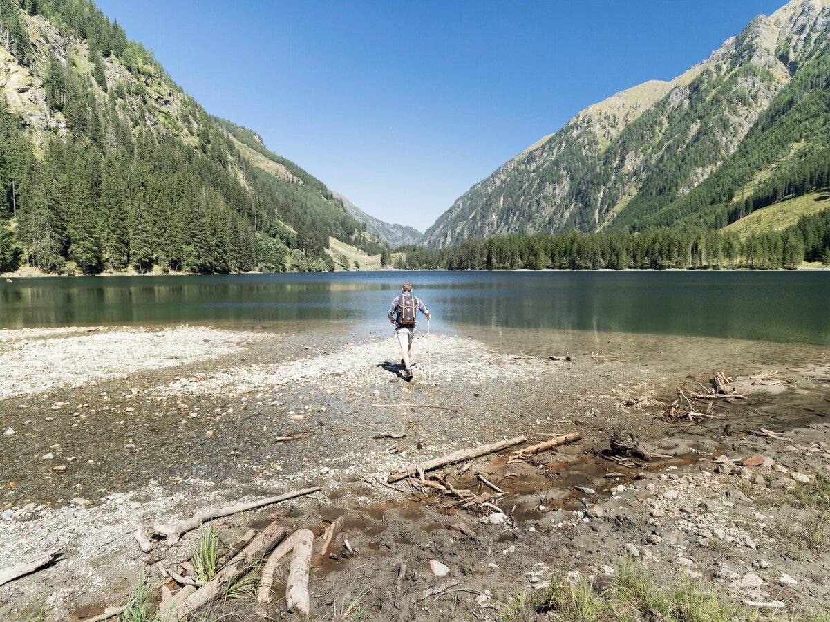
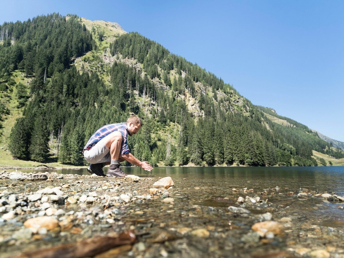


The Breitlahn hut in the Kleinsölktal is the starting point of the hike. Here you can find a wide path almost flat along the Kleinsölk stream till the Schwarzensee.
Branch off from the Ennstalbundesstraße B320 at Pruggern to Sölktäler. From Stein an der Enns to the Kleinsölktal until you reach the Breitlahnhütte (toll road) – valley shuttle station.
The valley bus makes crossings in the Sölktäler Nature Park possible on weekdays. Likewise, you can arrive comfortably by train and the Tälerbus will take you to your accommodation or the starting point of your hike. This bus runs on weekdays during the Styrian summer vacations. You can find all information about the departure times here.
Breitlahnhütte
In the area of the Schwarzensee you can meet free-roaming grazing cattle. Caution is required, especially with dogs.
Weather changes, rapid drop in temperature, thunderstorms, wind, fog and snow fields are objective dangers and require the right behavior on the way. Hut keepers are experienced mountain connoisseurs, they can give good tips on the weather and the course of the trail. Lack of equipment, overestimation of one's own abilities, carelessness, poor physical condition and a wrong assessment can lead to critical situations. During thunderstorms: avoid peaks, ridges and rope belays at all costs.
GPS data and orientation aids:
Available GPS data - as well as hiking maps - are only an orientation aid, since they can never represent an exact image or the richness of detail of a path in reality. Especially in the case of danger spots, it must therefore always be decided in the end on the basis of the conditions on site whether and how the further course of the path looks like.
In case of emergency, please dial the following emergency numbers:
140 - for alpine emergencies - Austria-wideNo.
112 - Euro emergency call GSM emergency call service
In the area of the Schwarzensee you can meet free-roaming grazing cattle. Caution is required, especially with dogs.
Weather changes, rapid drop in temperature, thunderstorms, wind, fog and snow fields are objective dangers and require the right behavior on the way. Hut keepers are experienced mountain connoisseurs, they can give good tips on the weather and the course of the trail. Lack of equipment, overestimation of one's own abilities, carelessness, poor physical condition and a wrong assessment can lead to critical situations. During thunderstorms: avoid peaks, ridges and rope belays at all costs.
GPS data and orientation aids:Available GPS data - as well as hiking maps - are only an orientation aid, since they can never represent an exact image or the richness of detail of a path in reality. Especially in the case of danger spots, it must therefore always be decided in the end on the basis of the conditions on site whether and how the further course of the path looks like.
In case of emergency, please dial the following emergency numbers:140 - for alpine emergencies - Austria-wideNo.112 - Euro emergency call GSM emergency call service
Take rainproof and warm clothes and enough water, possibly also a snack, wear shoes with non-slip profile soles. A first aid kit should also be in your backpack.
Up to the Schwarzensee is a themed trail. Many refreshment stops along the way!
SummitLynx- Your digital summit and hut book - available worldwide and always with you!
Since there is no internet reception in the entire valley, payments (toll or hut hosts) are only possible with cash.
For more information please contact the Tourist Office Schladming DachsteinInformation office Nature Park Sölktäler:
Phone: +43 3687 23310 501naturpark@soelktaeler.comStein an der Enns 1078961 Sölk
Freizeitkarte Gröbmingerland, Sölktäler, Öblarn Schubert & Franzke 1:35 000 Wanderkarte Schladming-Dachstein freytag & berndt 1:50 000 Alpenverein Niedere Tauern 45/3 1:50 000 Alle Karten sind im Naturparkbüro in Stein/Enns erhältlich
Wanderführer Schladming-Dachstein, Autor Herbert Raffalt Erhältlich in den Infobüros in der Region Schladming-Dachstein oder im Webshop von Schladming-Dachstein (www.schladming-dachstein.at/de/service/web-shop) Magische Bergseen - Wandern in den Niederen Tauern, Autor Herbert Raffalt,Servus Verlag (www.servusmarktplatz.com)


