Kochofen (1,920m), round trip via the Schladming Alm
snadné Summit tours · Gröbminger Land
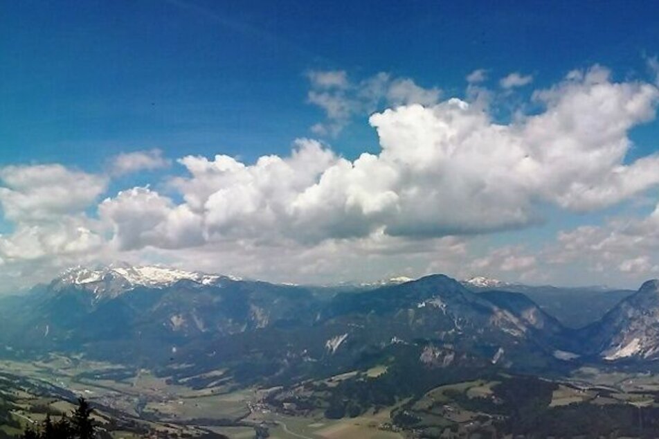
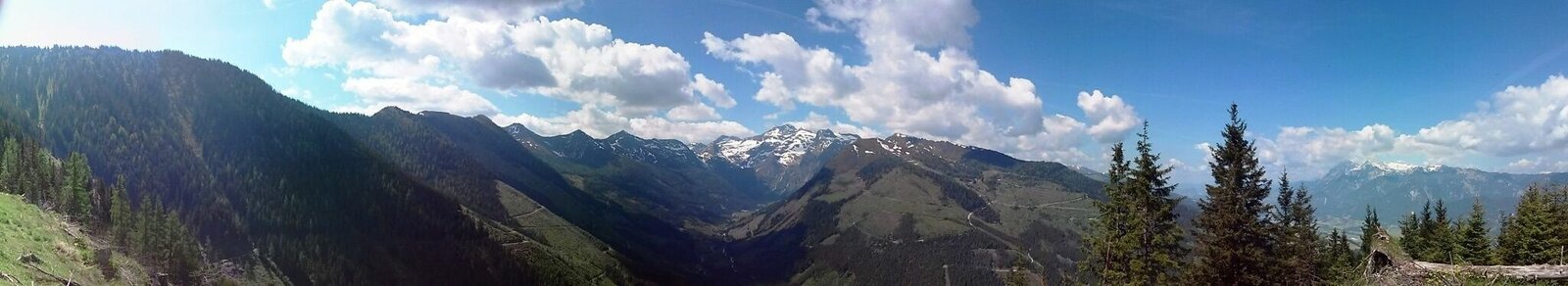
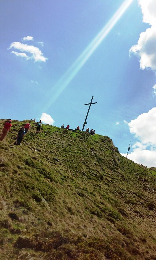
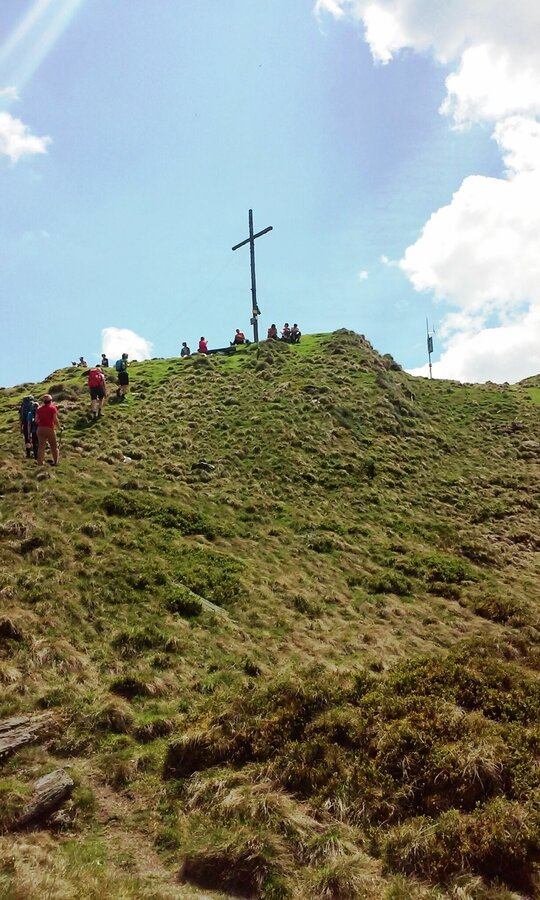
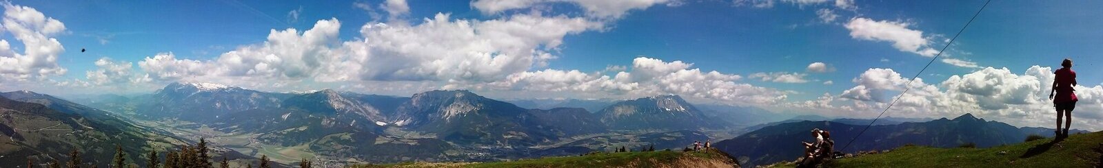
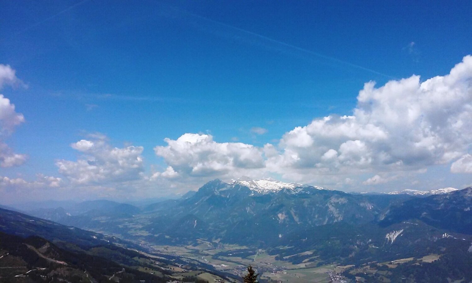
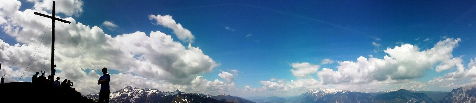
With a beautiful view of the Sattental and the Kleinsölk, the path continues slightly uphill until the last climb to the summit cross. Then comes another uphill climb until you can see the cross from afar.
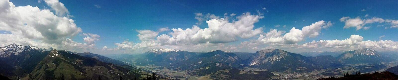
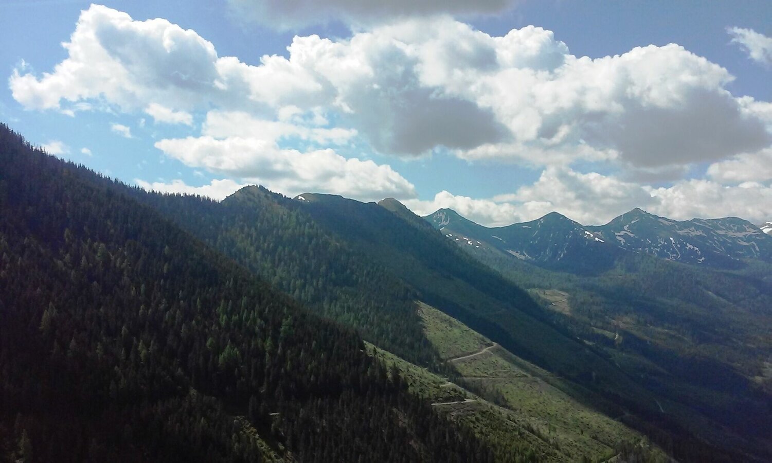
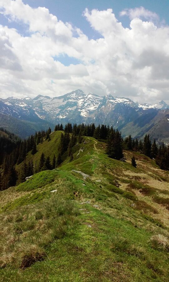
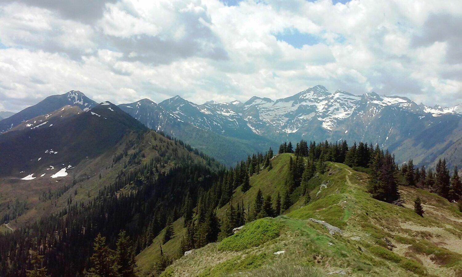
After a brief rest, the path continues at the summit cross on the right side of the ridge towards Spateck. There is a steady uphill and downhill traverse through Fleischkögel, Lafenberg, up to Dromeisspitz (2,047 m) and down once again to Schladminger Törl (1,945). There, turn right towards the Schladming Alps (Path no. 22).
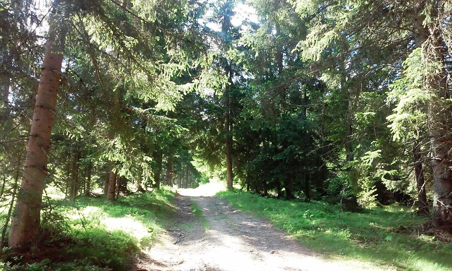
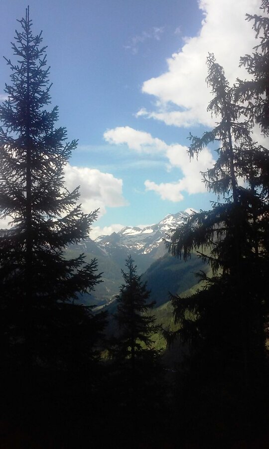
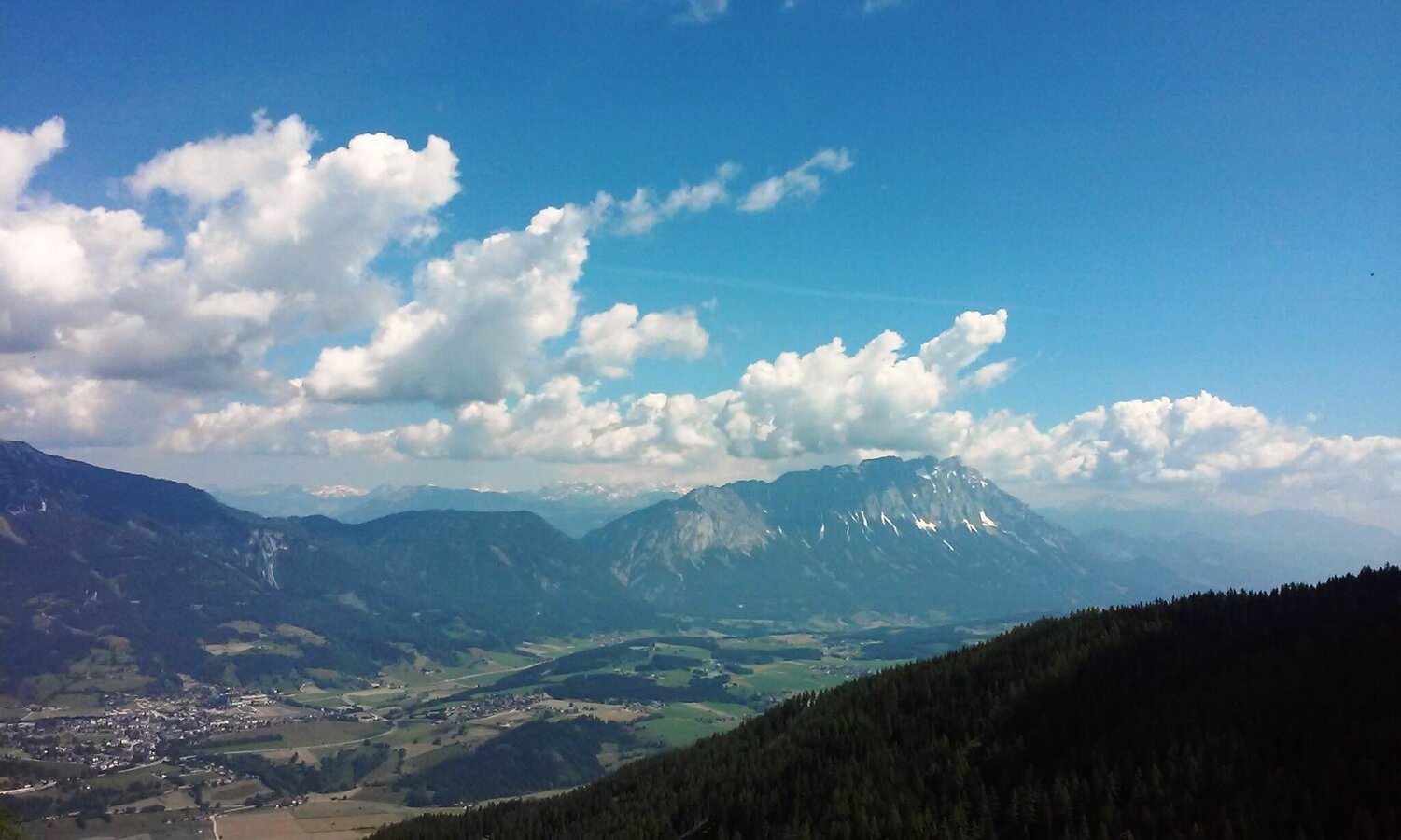
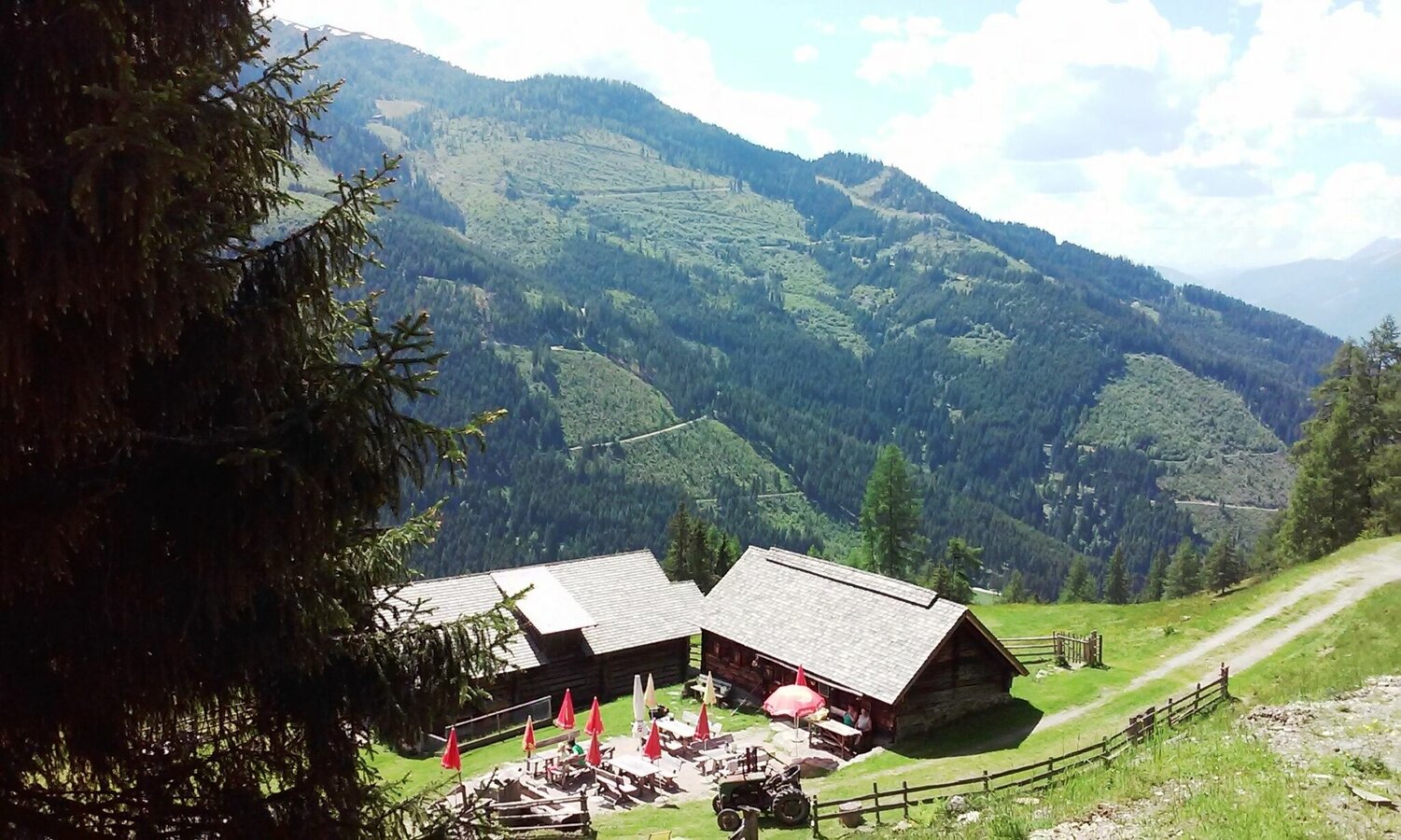
Upon arrival at the Schladming Alps, follow Forststraße out of the valley into the north until reaching the Stiegleralm’s first signpost. From there, walk towards the right and follow the climb and signposts to the serviced Stiegleralm cabin. After taking a break, continue through the Jägerstieg - first, the climb will lead through a meadow, through the forest and directly to the Kochofen hiking path. Make a left at this crossroads and head down to the Michaelerberghaus starting point.
Fotogalerie
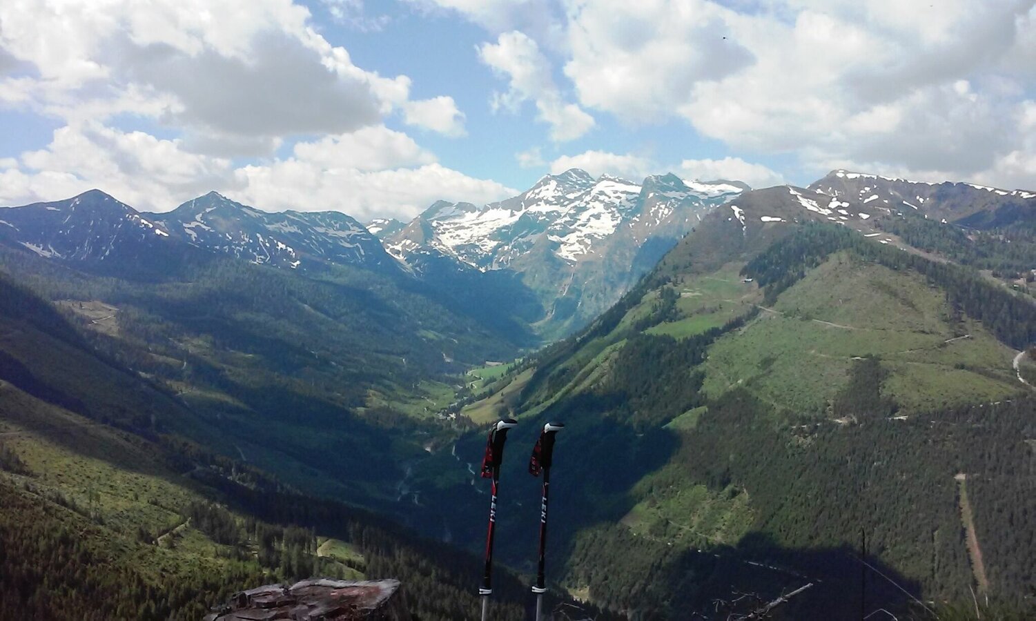


With a beautiful view of the Sattental and the Kleinsölk, the path continues slightly uphill until the last climb to the summit cross. Then comes another uphill climb until you can see the cross from afar.
After a brief rest, the path continues at the summit cross on the right side of the ridge towards Spateck. There is a steady uphill and downhill traverse through Fleischkögel, Lafenberg, up to Dromeisspitz (2,047 m) and down once again to Schladminger Törl (1,945). There, turn right towards the Schladming Alps (Path no. 22).
Upon arrival at the Schladming Alps, follow Forststraße out of the valley into the north until reaching the Stiegleralm’s first signpost. From there, walk towards the right and follow the climb and signposts to the serviced Stiegleralm cabin. After taking a break, continue through the Jägerstieg - first, the climb will lead through a meadow, through the forest and directly to the Kochofen hiking path. Make a left at this crossroads and head down to the Michaelerberghaus starting point.
Take the junction at Michaelerberg in Moosheim and follow the road until reaching Michaelerberghaus.
In case of emergency please dial the following emergency number: no. 140 for Mountain rescue and no. 112 - the European emergency call number
In case of emergency please dial the following emergency number: no. 140 for Mountain rescue and no. 112 - the European emergency call number
A balaclava, gloves, a good jacket and pair of pants are standard equipment for routes in Alpine terrain. Good water-resistant shoes, sunglasses, solar protection and sufficient drinks are essential. This also includes torches, mapping material, a knife, and a small first aid kit.


