Hochwurzen High Trail to Giglachseen | Schladminger Tauern Trail: Stage 01
střední Hiking · Schladming
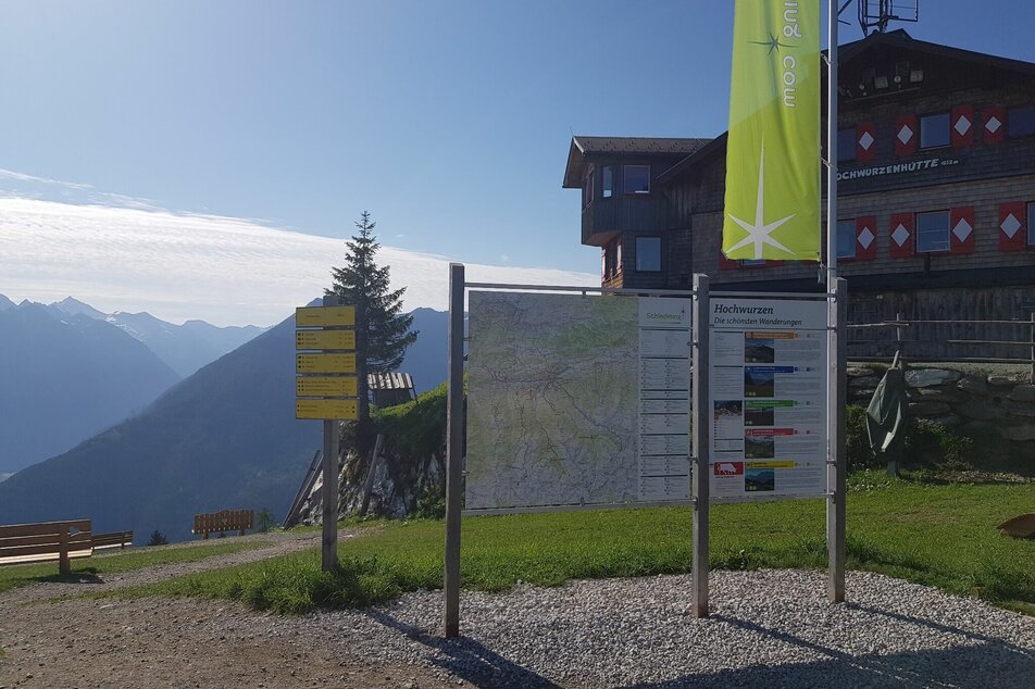
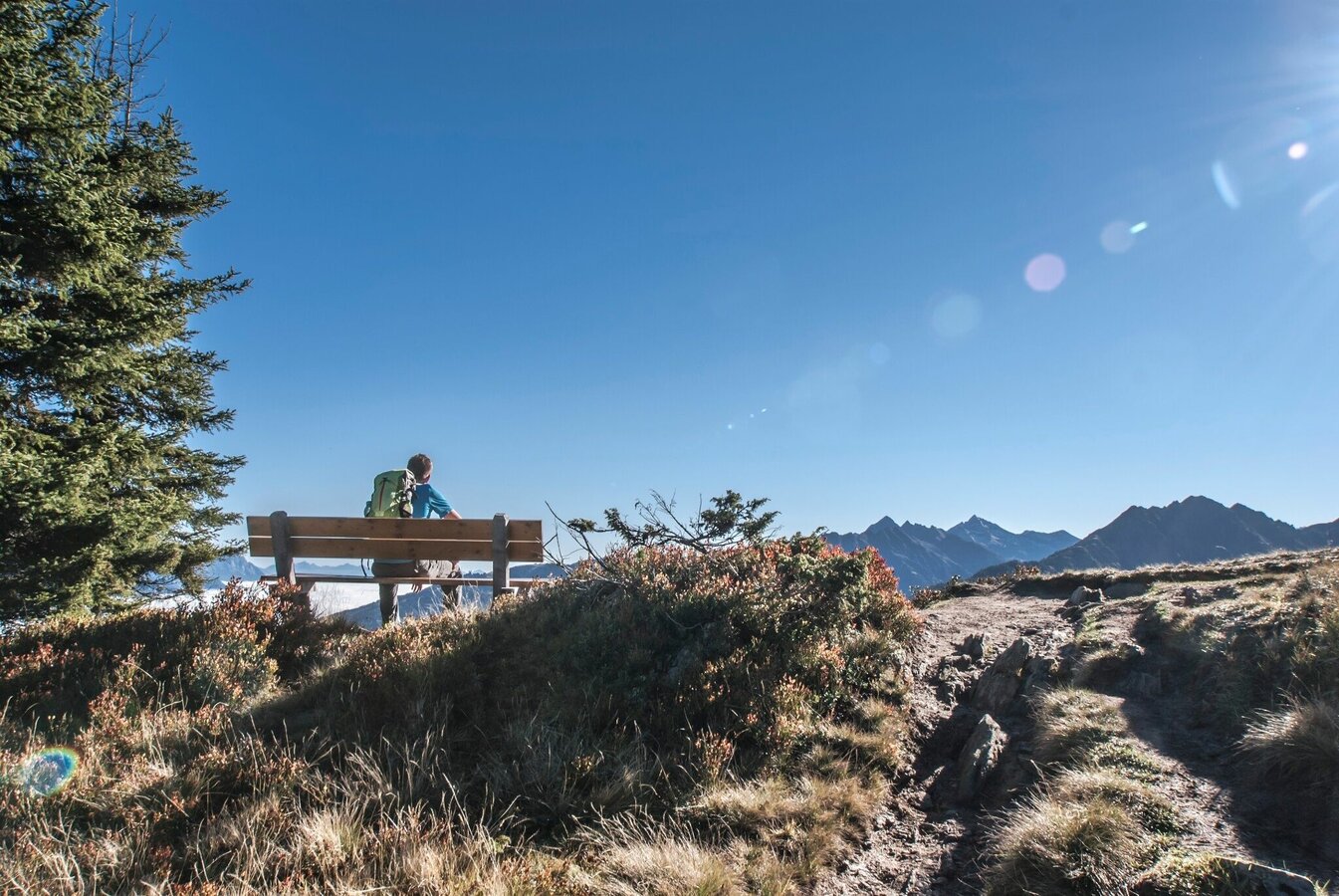
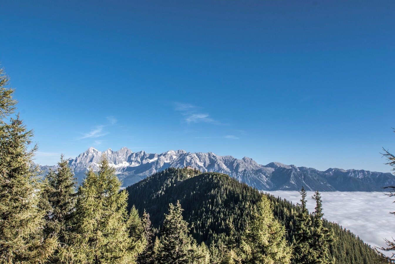
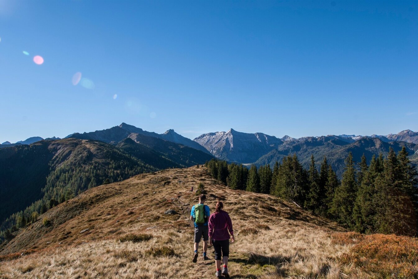
The high trail from the Hochwurzen to the Giglachseen lakes is one of the most popular alpine tours in the Schladminger Tauern and requires surefootedness, good physical condition and a head for heights. The view of the Dachstein massif is also a constant companion. The Brettersee and the Giglachseen lakes are highlights along the way, as are the peaks of the Roßfeld, Guschen, Hochfeld and Schiedeck. You can get to the Hochwurzen with the Hochwurzen summit lift - note operating times!The tour first takes you through a section with a larch and stone pine forest and then mostly along alpine hiking trails and through rocky sections.
Fotogalerie
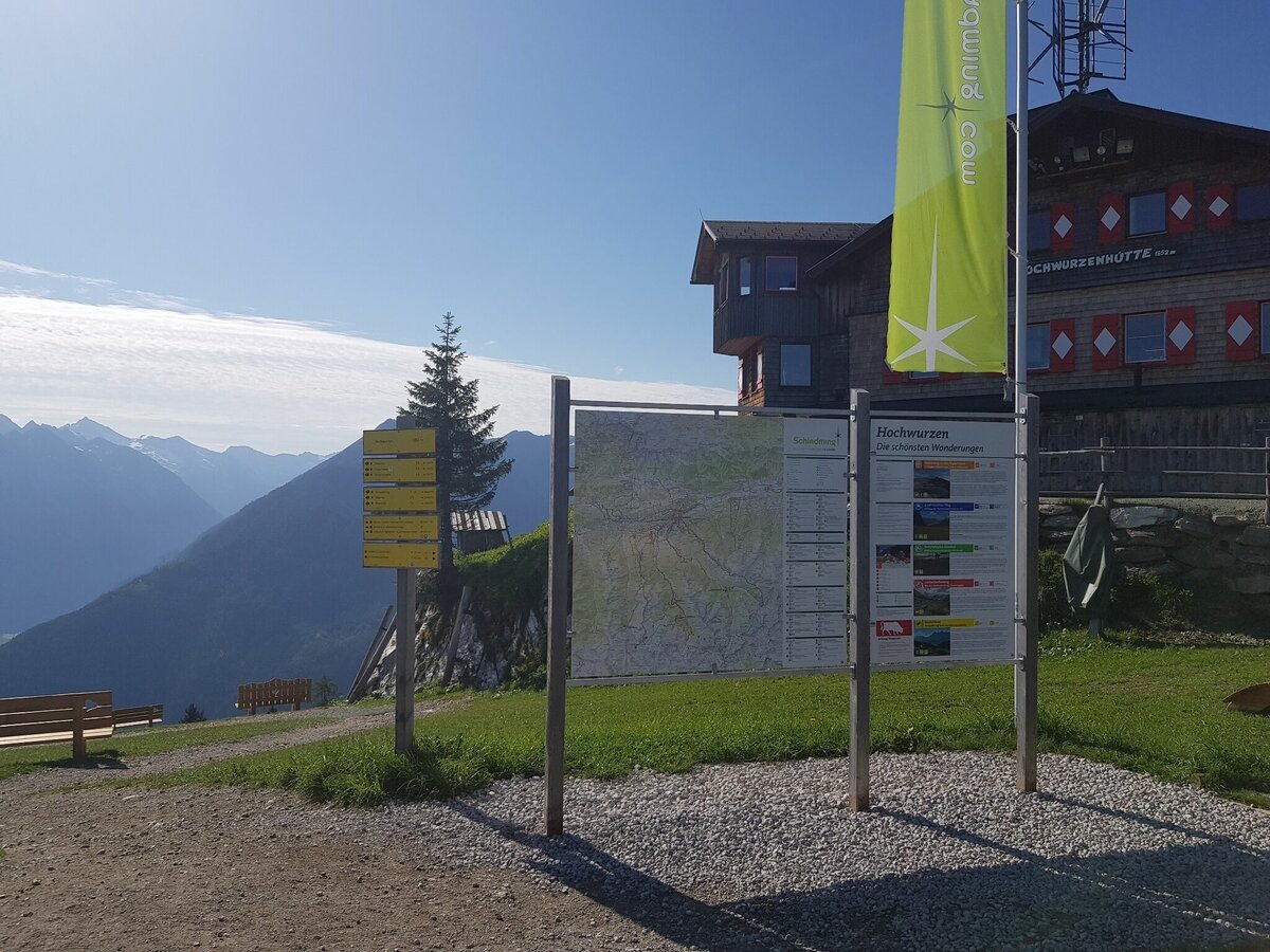
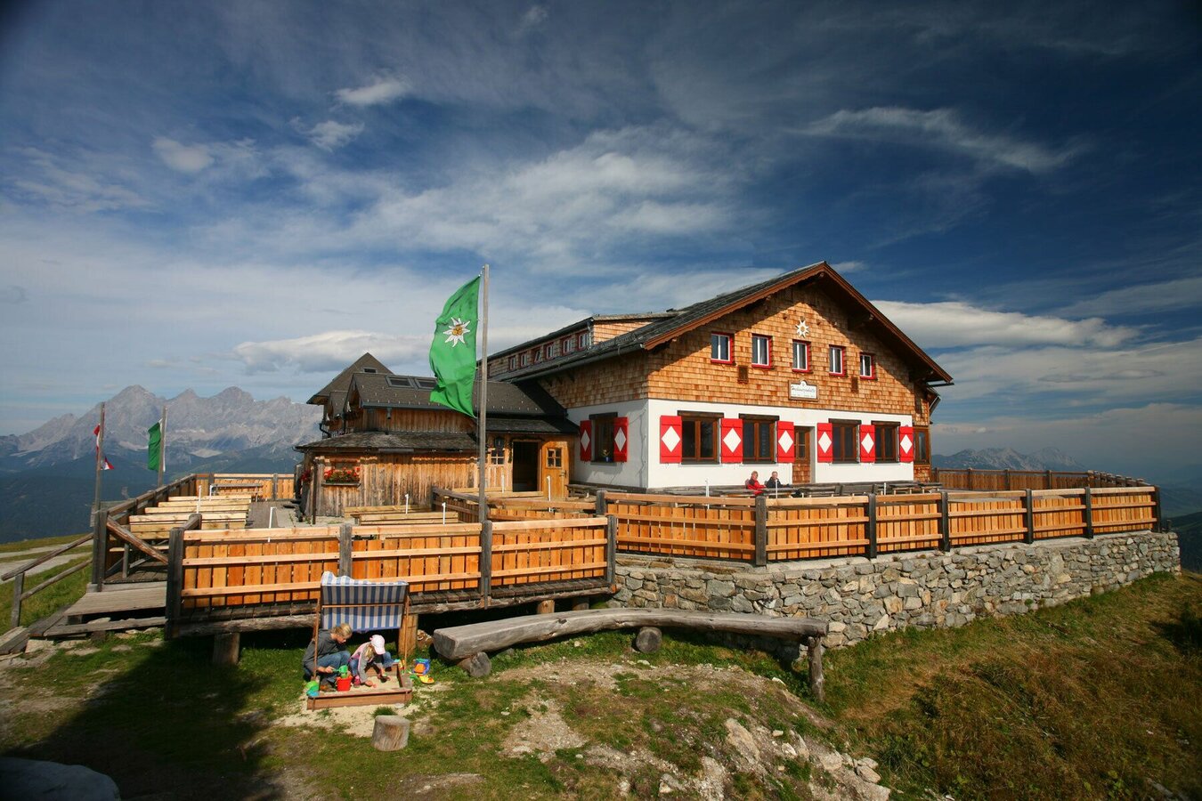
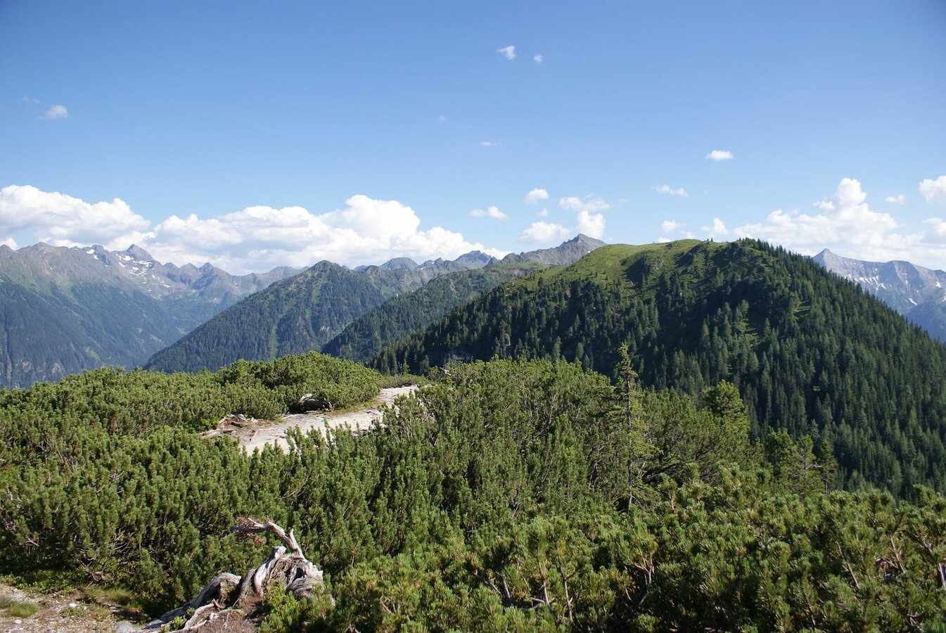
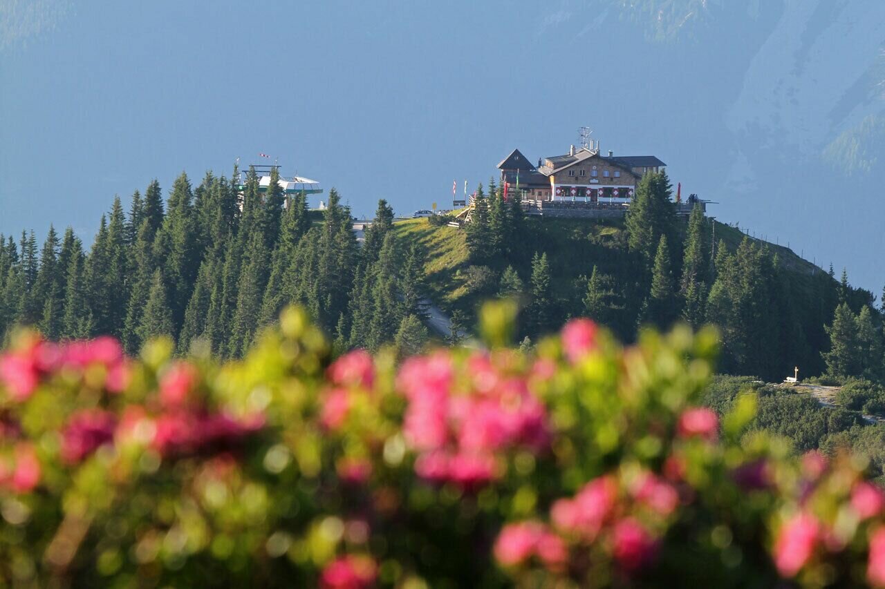
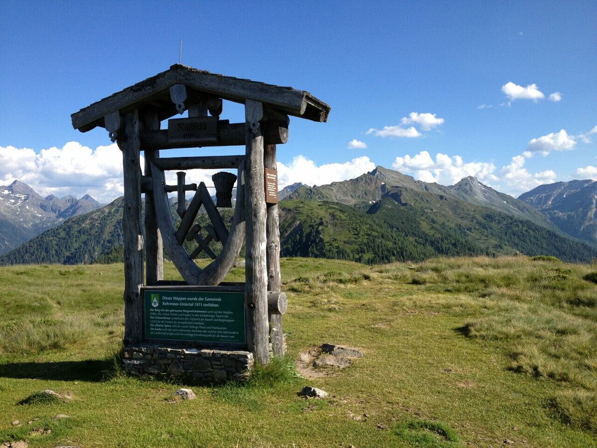
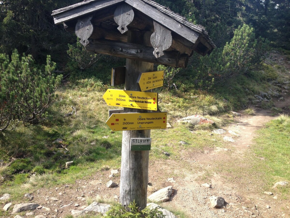
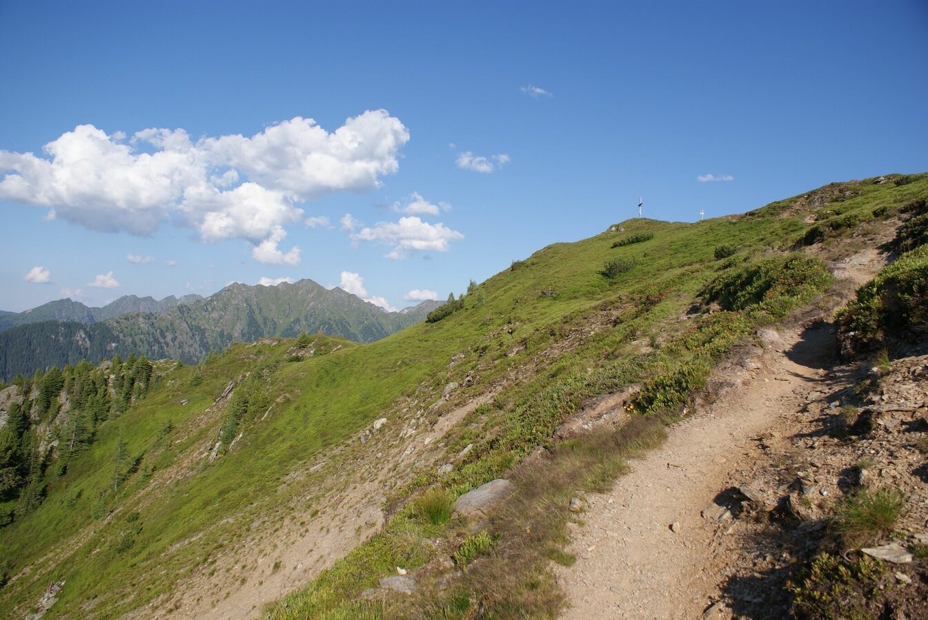
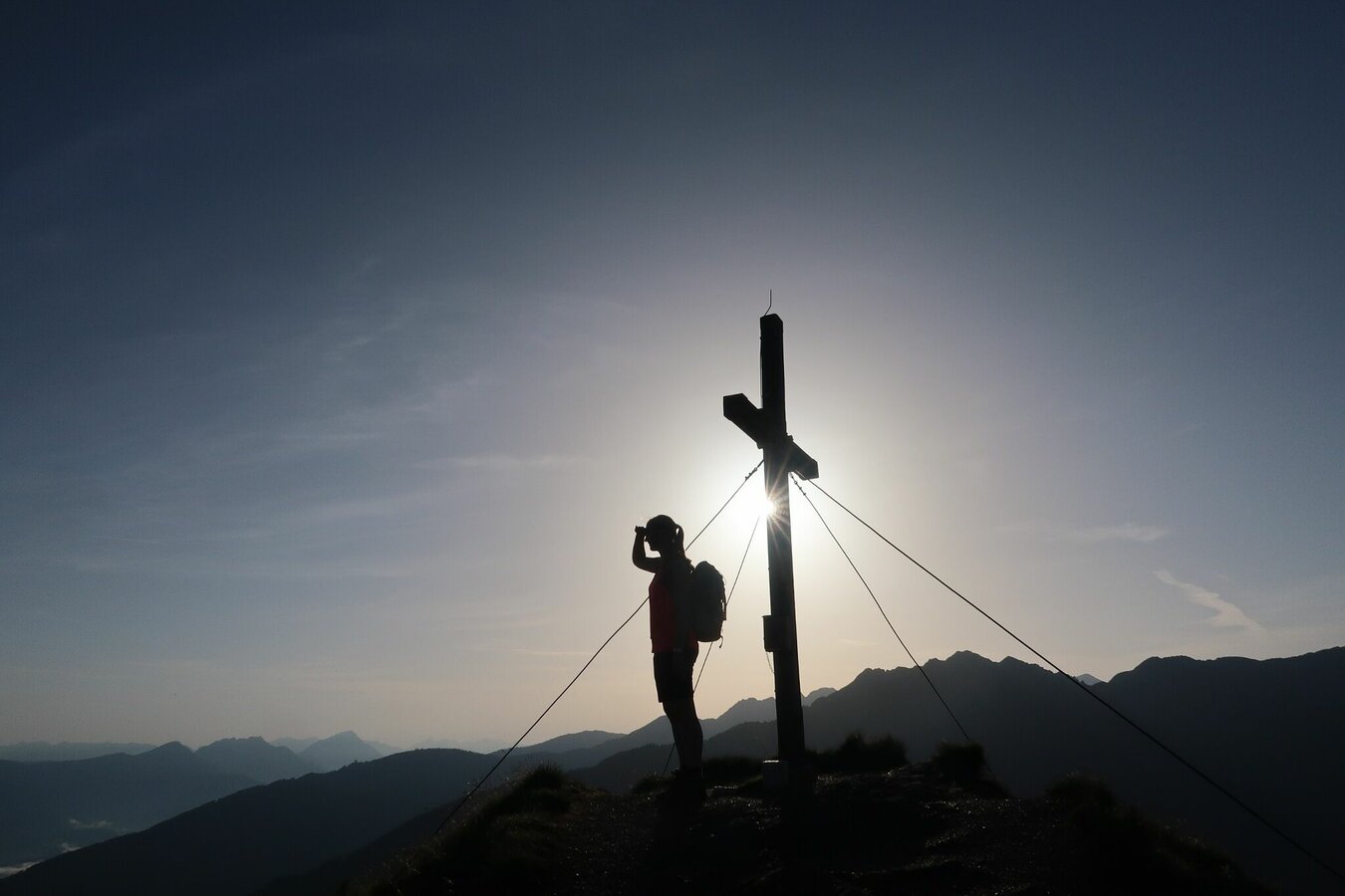
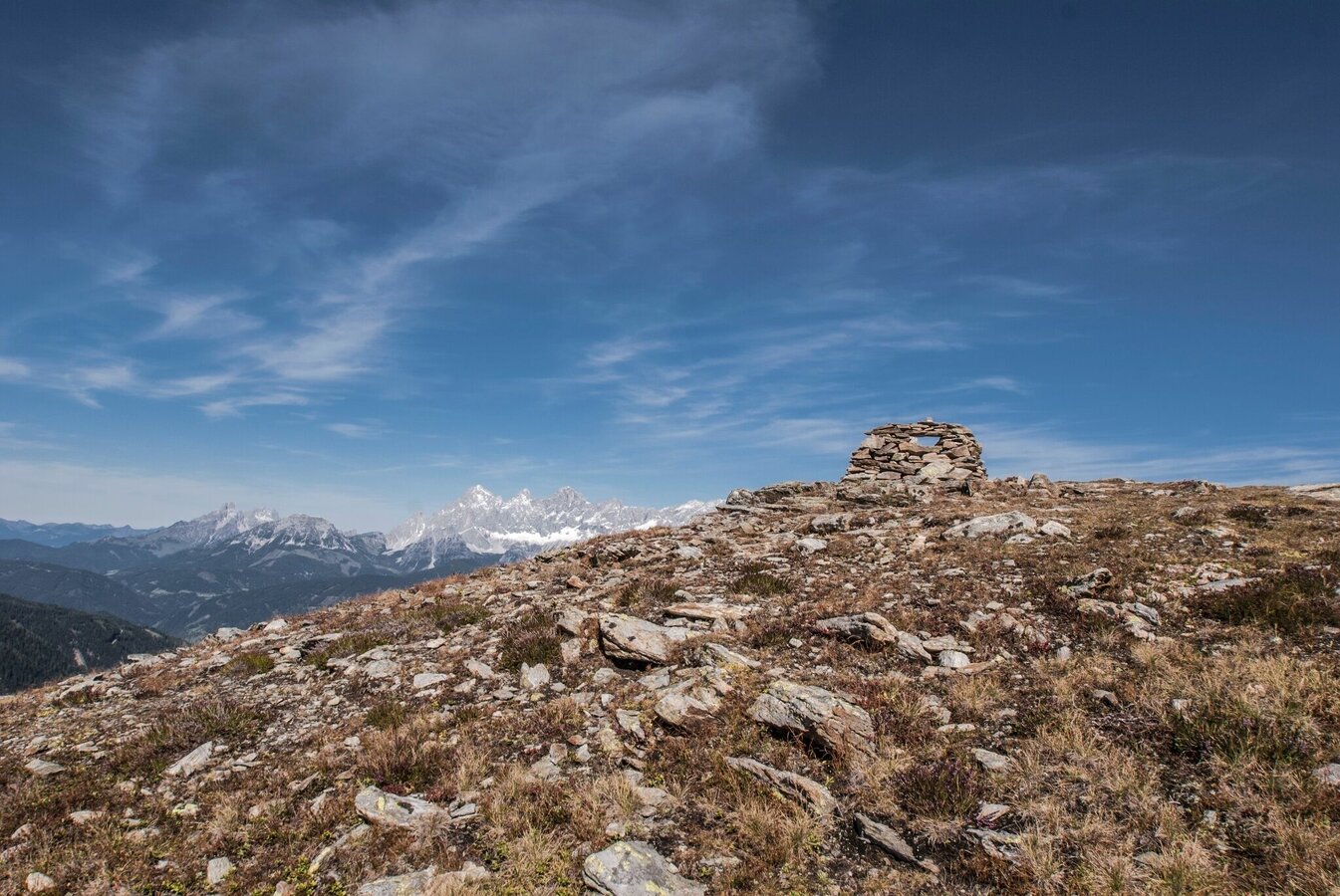
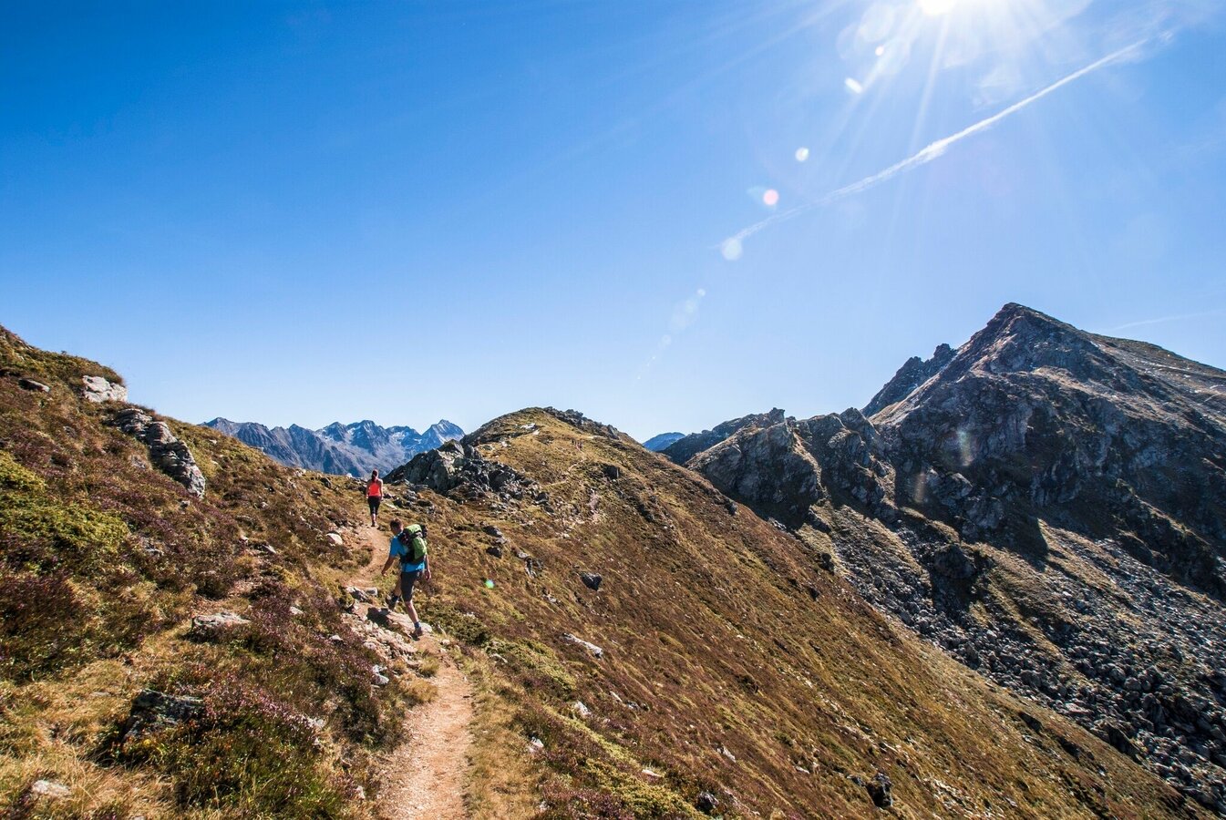
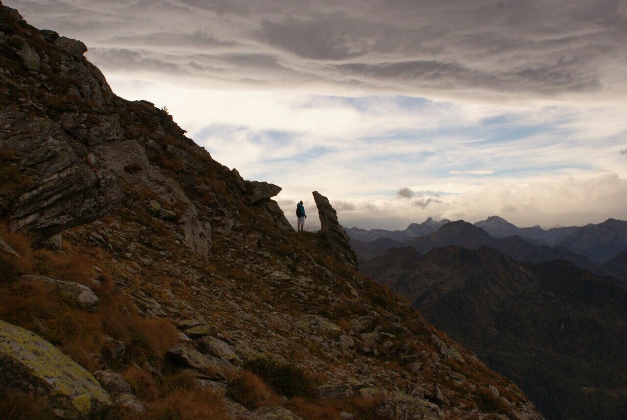
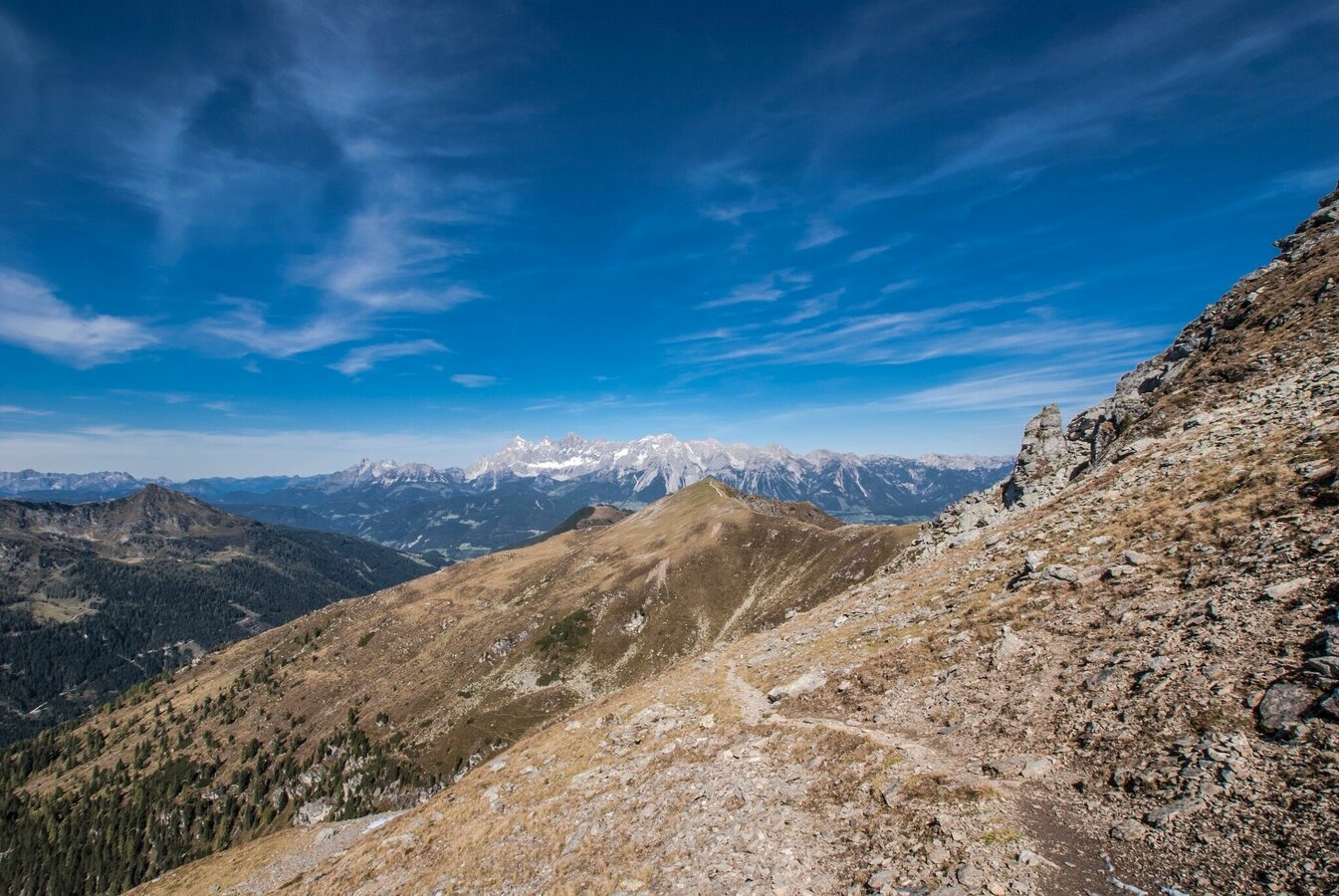
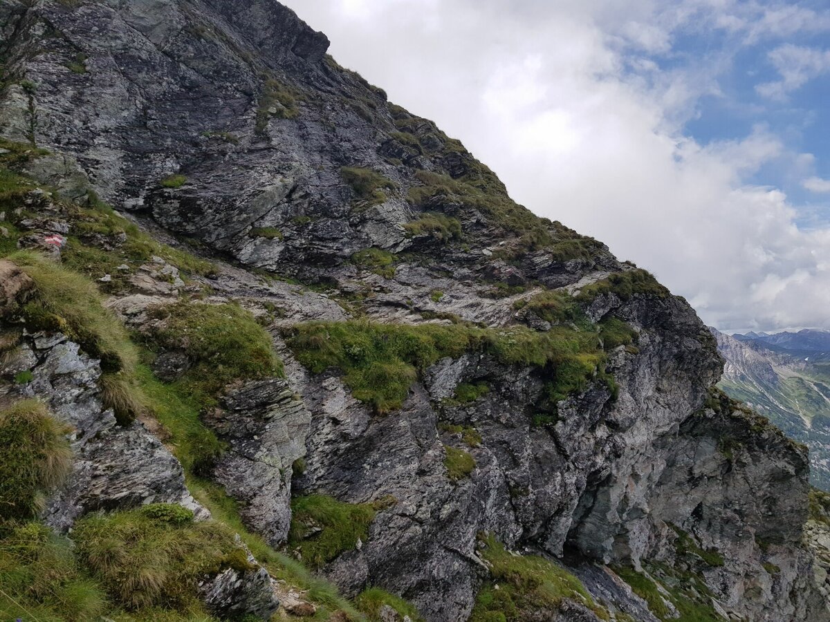
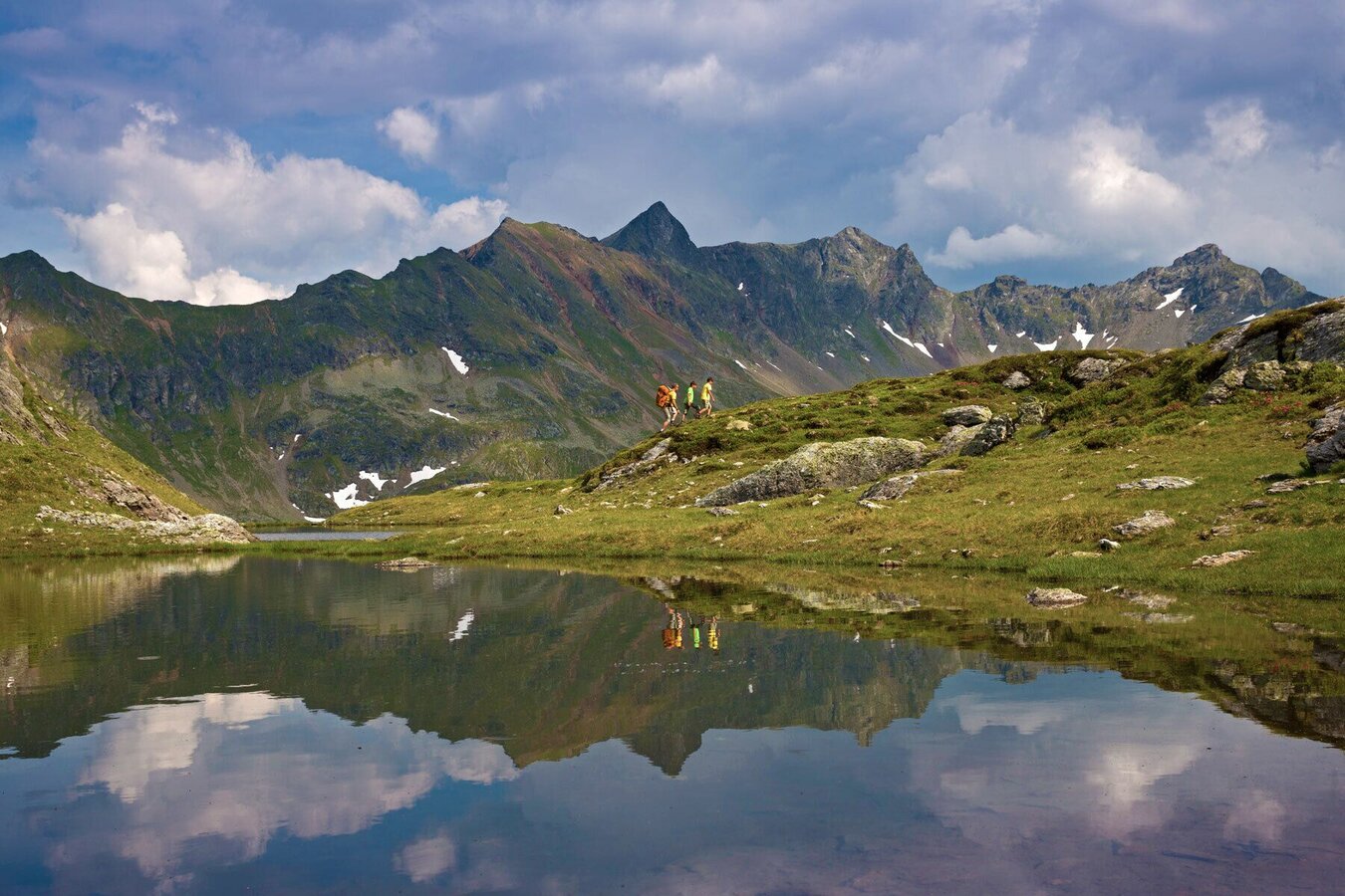
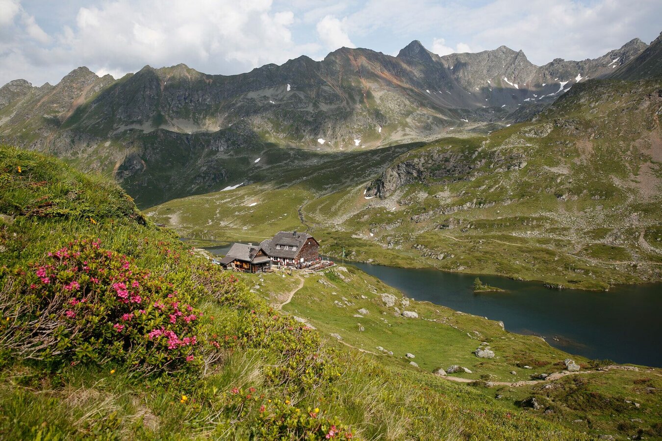
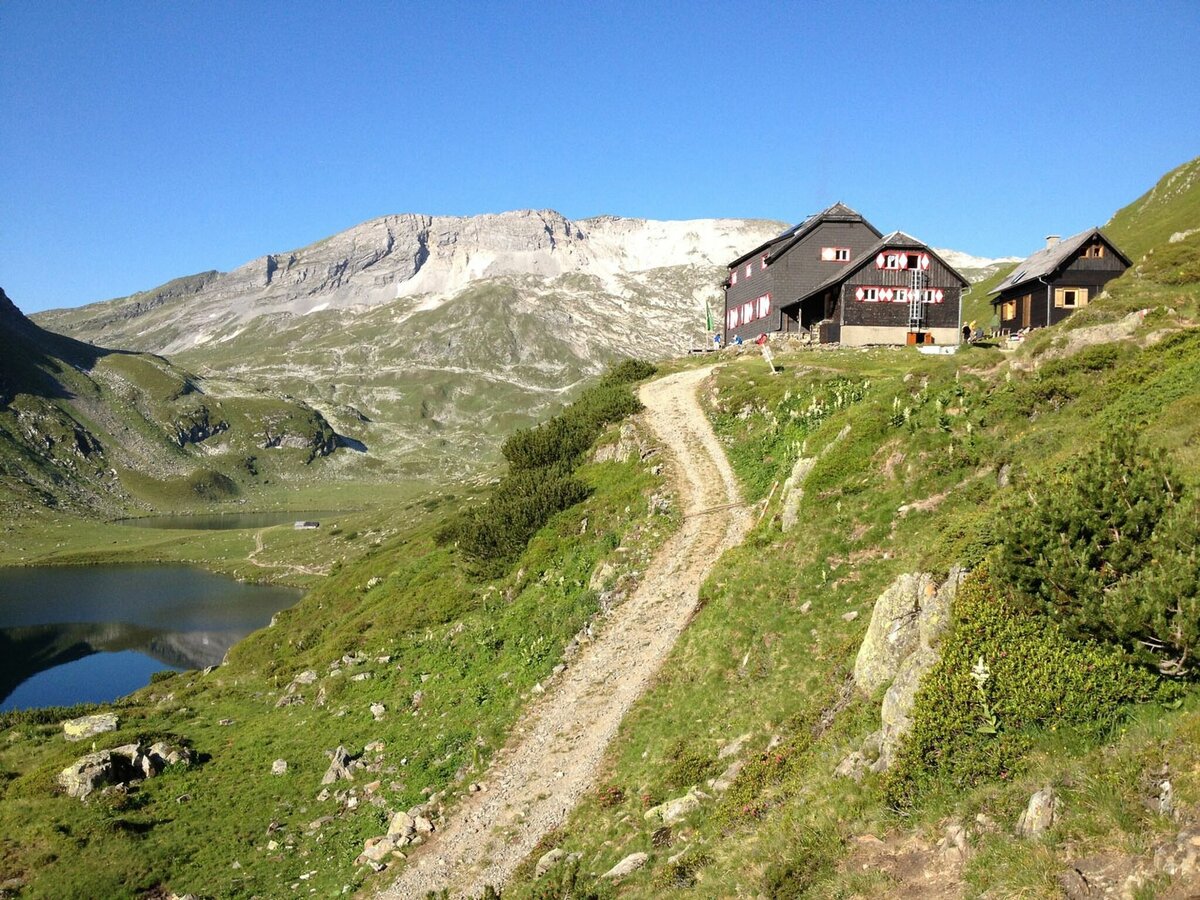
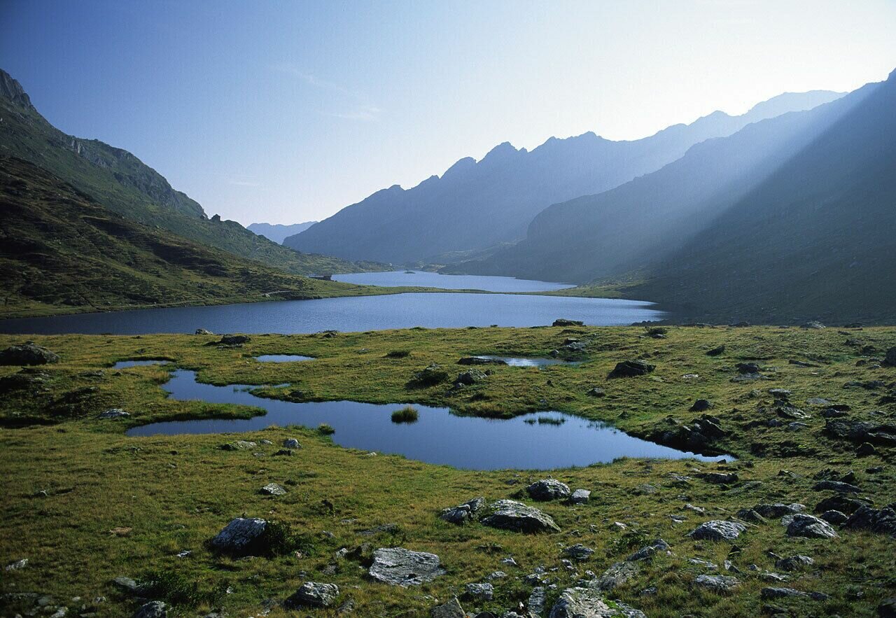
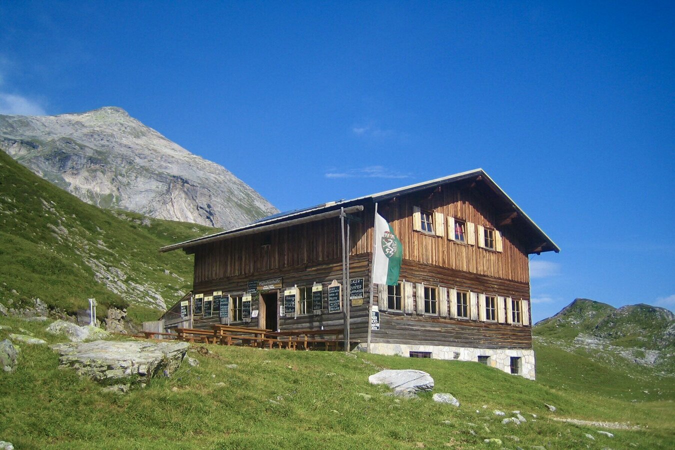


The 1. stage of the Schladminger Tauern High Trail takes you from Hochwurzen to Giglachseen Lakes. From "Kleine Wurzen" you can already see the first summit of this tour, the Rossfeld. Follow trail n° 60 from Kleine Wurzen and descent through dwarf pines to Hüttecksattel from where you continue on the nature trail Rossfeld to the ridge of Rossfeld. The next summit, Guschen, is already in your view. Passing by bizzare pine trees you descent a little to Latterfußsattel from where you follow trail n° 773 to the summit of Guschen. From there you continue via Schneider and ascend along the West face of the Hochfeld toward the prominent summit of Schiedeck. Passing by underneath the Schiedeck summit you continue East of the Kammspitze and now descend to Brettersee Lake, before you are rewarded with a striking view across the Giglachkar cirque. Above the lakes the trail heads West a little and then brings you down via several switchbacks. For the overnight stay you can choose between Ignaz-Mattis-Hütte and Giglachseehütte.
Descent to the valley:
Via Preuneggsattel you can descend to Ursprungalm in Preuneggtal valley in approximately 1 hour, or alternatively via Landauersee Lake to Hopfriesen in Obertal in 2.5 hours. From either of those 2 points there is a bus back to Rohrmoos and Schladming.
Bus schedules: www.planaibus.at
Changes in weather patterns, quick falls in temperature, thunderstorms, wind, fog and snow are some of the dangers that can be encountered on a hiking tour. Hosts of alpine huts and mountain refuges have a lot of experience in the mountains and can give good advice about weather and the trails. Poor equipment, overestimation of one's own capabilities, carelessness, poor personal constitution and/or wrong judgement can lead to critical situations. In case of thunderstorms: avoid summits, ridges and steel ropes.
GPS data and orienteering
Available GPS data - just like hiking maps - is only a guidance for orientation and can never depict a trail exactly with all its details. Especially at dangerous spots it is essential to judge on site how to proceed.
In an emergency please call:
- 140 - for Alpine emergencies (all over Austria)
- 112 - European GSM emergency number
A well-packed backpack is helpful and especially when touring Alpine terrain a tuque, gloves, a windproof jacket and pants are standard equipment. Good, waterproof shoes, sun glasses, sun cream and sufficient beverages are essential too. Torch light, a map of the area, knie and a small first-aid kit should also be in the backpack.
Carry sufficient water/drinks on this stage. Due to the character of the tour (from summit to summit) fresh water is rare along the tour. Starting from Hochwurzen the first opportunity to fill up your water bottle will be near Brettersee Lake (after approximately 5 hours walking time).
General tourism information: www.schladming.com
Info about buses and cable-cars: www.planai.at
360° drone images
Get yourself an overview with our 360° drone images:
- Hochwurzen, Rossfeld & Guschen: https://vonoben.schladming-dachstein.at/sommer/index.php?S=305
- Hochfeld and Schiedeck: https://vonoben.schladming-dachstein.at/sommer/index.php?S=306
- View over Giglachkar cirque: https://vonoben.schladming-dachstein.at/sommer/index.php?S=307
- Giglachseen and Kalkspitzen summits: https://vonoben.schladming-dachstein.at/sommer/index.php?S=308
- Lower Giglachsee Lake and Vetternkar cirque: https://vonoben.schladming-dachstein.at/sommer/index.php?S=309
- Hiking map Schladming, 1:25.000, available at the tourist office Schladming.
- Hiking map Schladming-Dachstein, 1:50.000, available at the tourist office Schladming.


