Nature and adventure trail
łatwe · Ramsau am Dachstein
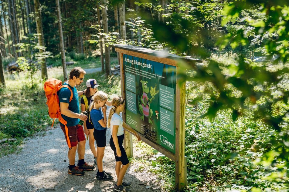
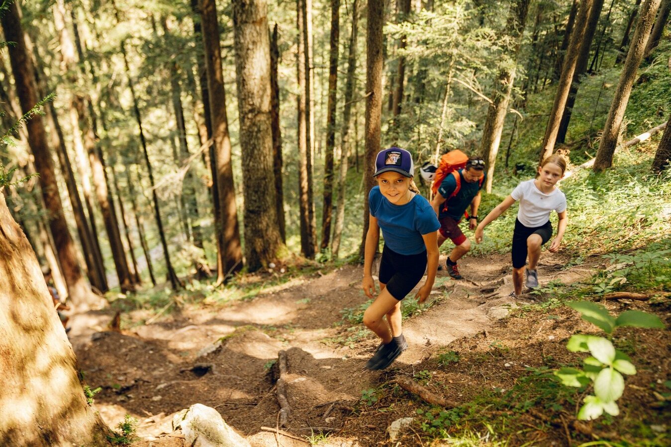
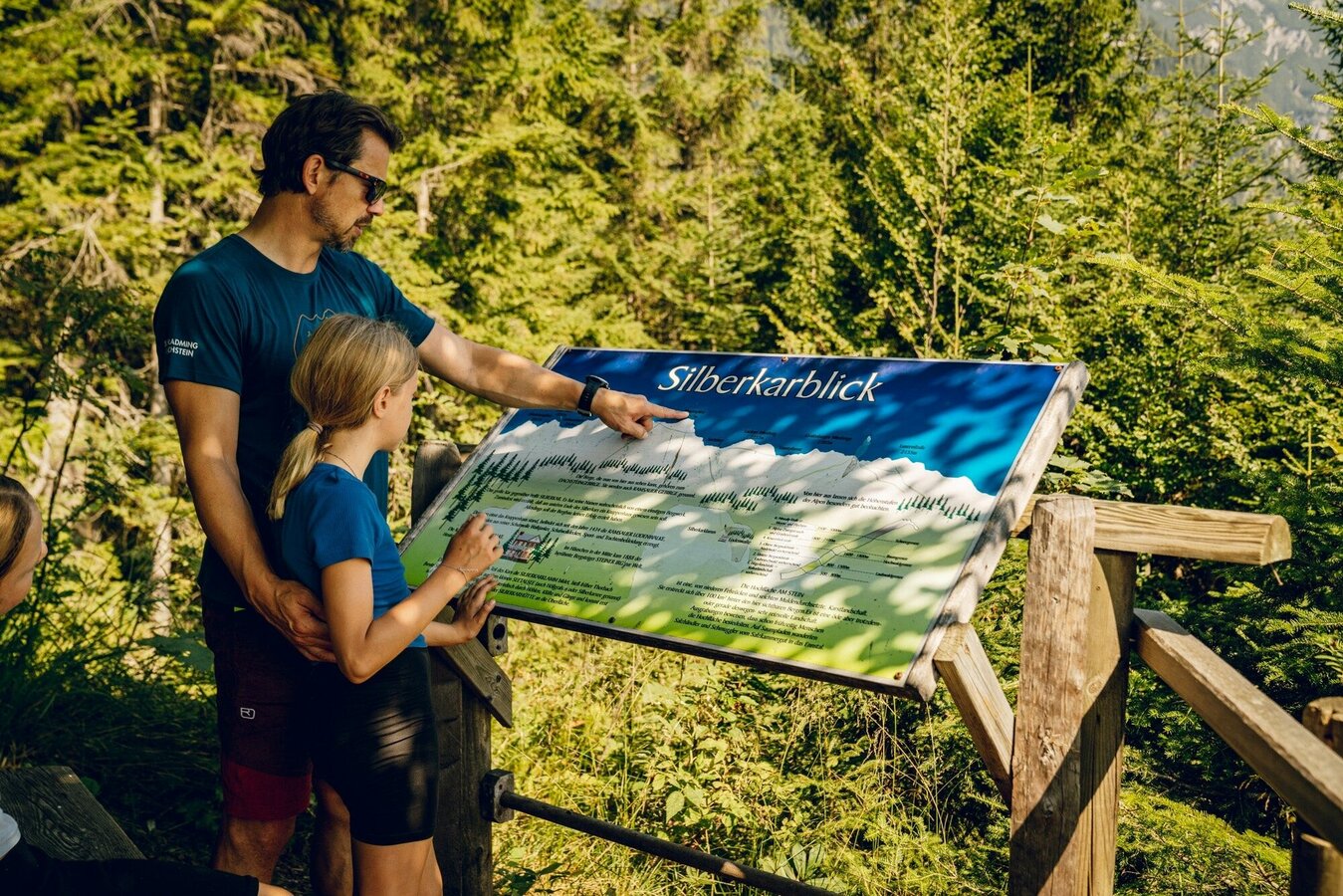
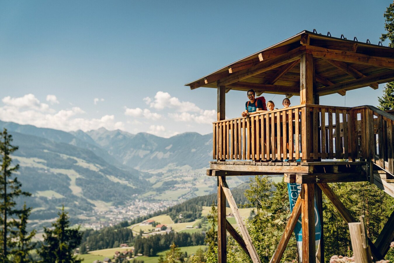
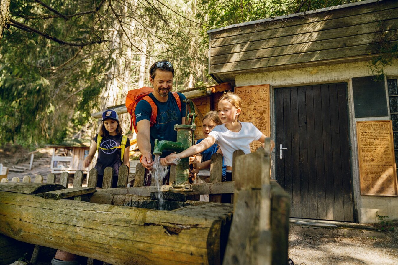
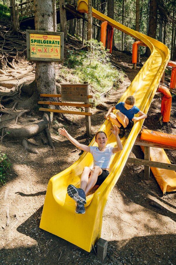
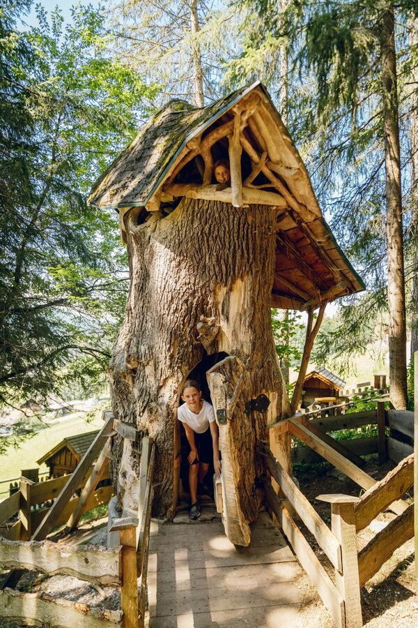
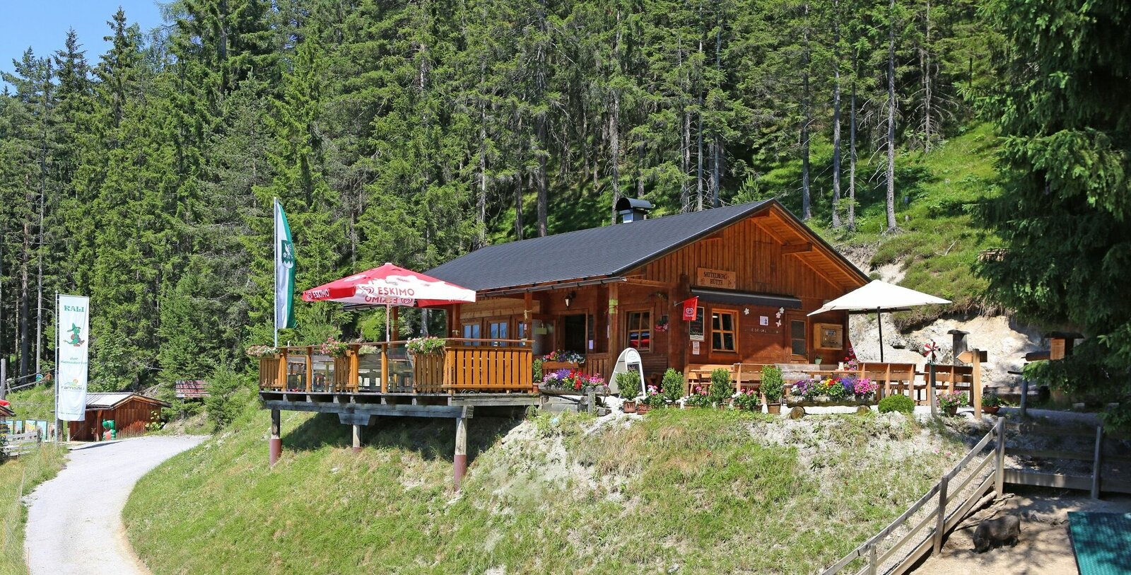
The Sattelberg is the perfect excursion mountain for a nature experience with the family. The first Austrian nature and environmental adventure trail is not only exciting and interesting for children, parents and grandparents will also be amazed and learn a lot. The educational trail also leads to the Sattelberg summit via a circular route and has even more to offer: the Ramsaurier Zwergerl farm (with display and game boards in toddler size) is a play paradise for the youngest and is located right next to the Sattelberg hut. In addition to the large forest playhouse and the "Little Ramsau Water World", the hike along the Ramsau nature and environmental adventure trail also includes three real children's and youth via ferratas, which can be completed as part of the Ramsau via ferrata certificate. Part of the trail is also accessible with a stroller.
Galeria obrazów


Arriving from the west:From the west you can take the Munich-Salzburg motorway, continuing on the Tauern motorway (A 10) until the Ennstal junction. From here take the Ennstal A-road (the B 320) for around 30 km into the Schladming-Dachstein region, then take the Ramsau am Dachstein turn-off.
Arriving from the north:From the south-east take the Pyhrnautobahn motorway (A 9) to the Liezen junction and then the Ennstal A-road (B 320) into the Schladming-Dachstein region. Then take the Ramsau am Dachstein turn-off.
Bus stop Ramsau Leiten Almfrieden
See the timetables HERE
Info office Ramsau am Dachstein or parking lot at the nature and adventure trail (Obere Leiten)
- Information about Ramsau and the Schladming-Dachstein Region
- Information about the Sattelberghütte
- Summer leisure card for Schladming & Ramsau am Dachstein, available from the information offices of the Schladming-Dachstein Tourist Board
- Hiking guide Ramsau am Dachstein Reinhard Lamm


