
Kohlanger Trail
średnio trudne Trailrunning · Grimming-Donnersbachtal
Charakterystyka wycieczki
Warunek
Informacje o wycieczce
Trasa: 12.03 km
Okres obowiązywania: 02:34 h
Wejście: 708 m
Zejście: 708 m
Najlepsza pora roku
Styczeń
Luty
Marzec
Kwiecień
Maj
Czerwiec
Lipiec
Sierpień
Wrzesień
Październik
Listopad
Grudzień
Wycieczka
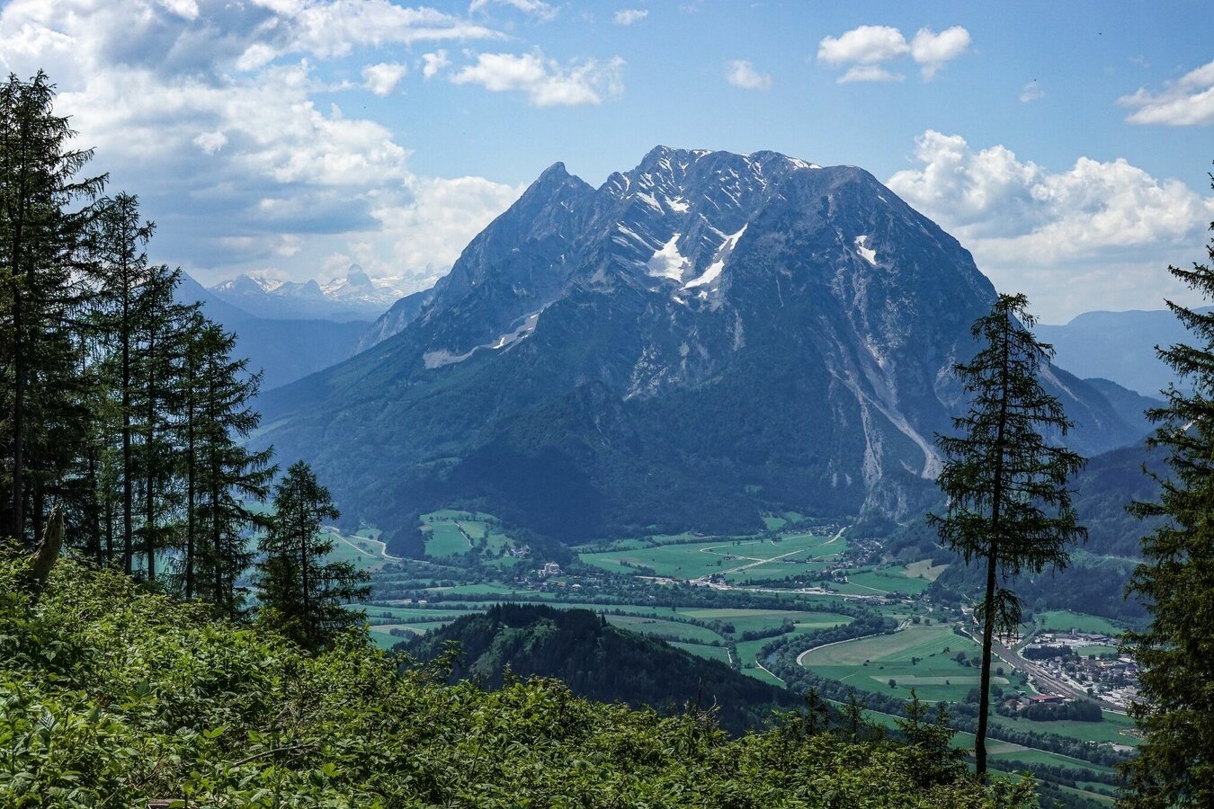
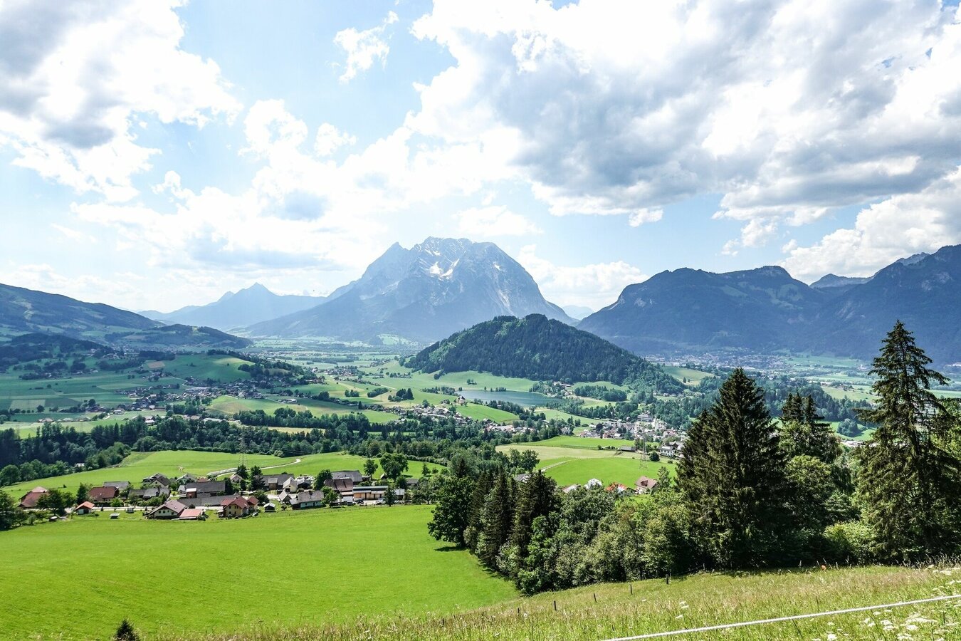
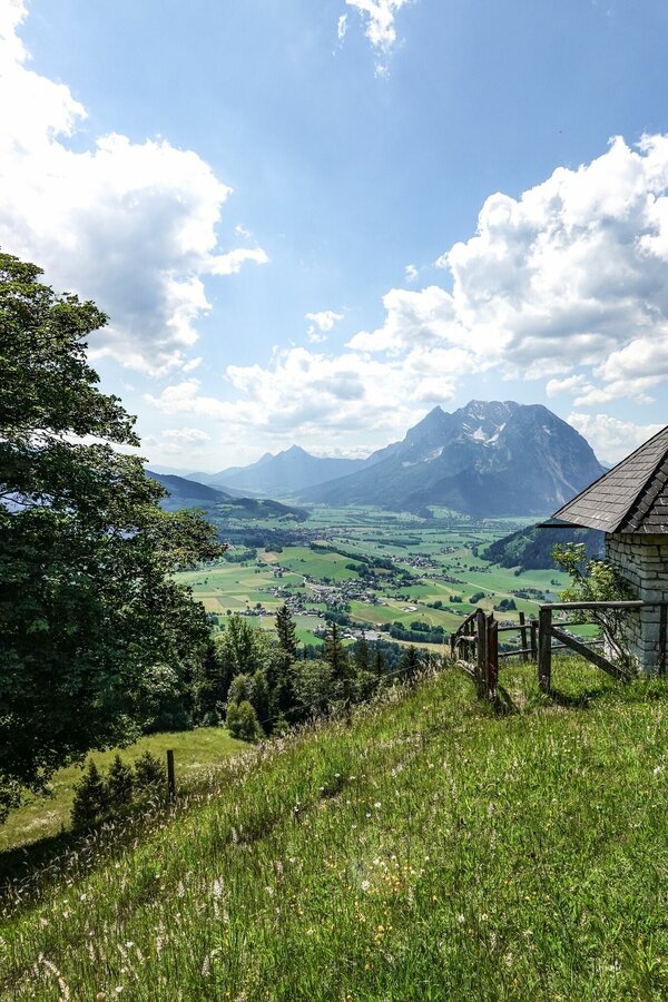
Through the town center and after 500 meters up to the Tachenberg. Turn left over the asphalt road and after 500 meters turn right towards the forest. Beautiful forest soil takes us up. Then again and again on forest paths and hiking trails we go up to Kohlanger. Quite unspectacular we reach the summit. For the perfect view of the Enns Valley, the variant on the Hohe Trett +6.3 +317hm is ideal. If you have had enough, you can walk down to the Stalingradkapelle and enjoy a fantastic view. Always recommended with morning or evening atmosphere. On sunken paths it goes quickly down to Ritzmannsdorf and then via Tachenberg back to the starting point.
Galeria obrazów


Dalsze informacje
Opis drogi
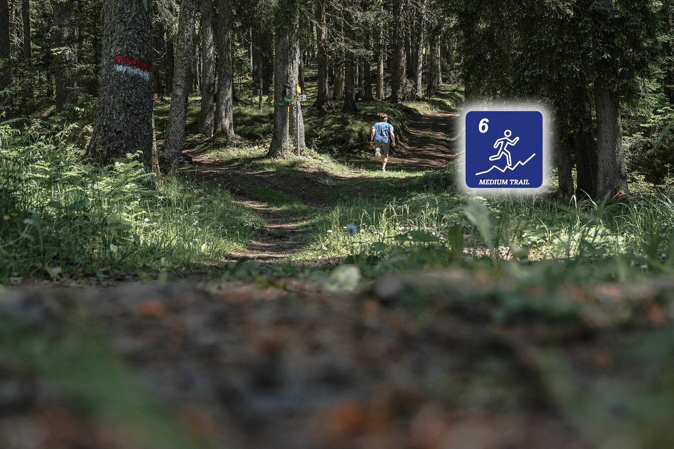
Trail number: 6
Przyjazd
- Coming from Liezen, turn left in Wörschach and follow the signs to Aigen/Ennstal. In Aigen drive through the village and shortly before the end sign, turn left and park your car at the large gravel parking lot.
- Coming from Schladming, follow the signs to Irdning/Aigen at the Trautenfels intersection. Drive through Irdning and via Schlattham and past the Putterersee, turn right shortly after the village sign Aigen and park the vehicle at the large parking lot.
With the train to the trainstation ,, Satinach-Irdning'' or ,,Liezen''.
From there you can reach Aigen im Ennstal with the bus line 940 every hour.
Parkowanie
Big and free parking lot at the start point
Start
Parkingplace tennis court
Cel
Parkingplace tennis court
Bezpieczeństwo
- Plan your trail in advanceInform yourself about the course of the trail and its demands
- Pay attention to weather forecasts and weather changes
- Let others know where you are going
- Adapt your equipment to the weather and the trail
- Be aware of livestock when crossing pastures
Equipment
- Plan your trail in advanceInform yourself about the course of the trail and its demands
- Pay attention to weather forecasts and weather changes
- Let others know where you are going
- Adapt your equipment to the weather and the trail
- Be aware of livestock when crossing pastures
- Trail running shoes - no asphalt running shoes
- Running backpack or vest depending on the length of the tour hydration bladder or softflasks
- thin windbreaker
- first aid kit, including emergency blanket
- cell phone
- energy bar
- money
- change of shirt
- Headband
- Sunglasses
Dalsze informacje i linki
Tourism information: www.schladming-dachstein.at
Tourism blog: www.derbergdastal.at
www.schladming-dachstein.at/de/Sommer/Wandern-und-Bergsport/Laufen-und-Trailrunning
Tourist Office Schladming-Dachstein
Ramsauerstrasse 756
8970 Schladming
T: +43 3687 23310
Garbage on meadows and paths can not smell mountain and valley. Please take it with you. Agriculture and forestry are important partners for Berg und Tal. They allow you to walk and drive on many of their paths. Be aware that only good cooperation will guarantee your recreational enjoyment in the future.
- Trailrunning map Schladming-Dachstein: available free of charge at all info locations
Prognoza pogody
Wybierz datę
Morning clouds will clear gradually. Then frequent sunny periods.
The day starts sunny, but will be partly cloudy in the afternoon.
Dry and bright with plenty of sunshine, clouds will be rare.


