Hike to the Hansenalm
tour.status.partially-opened Winter hiking trails · Naturpark Sölktäler
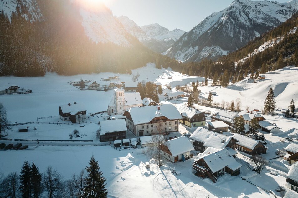
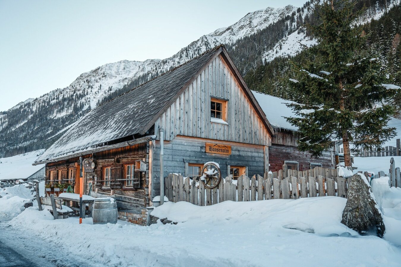
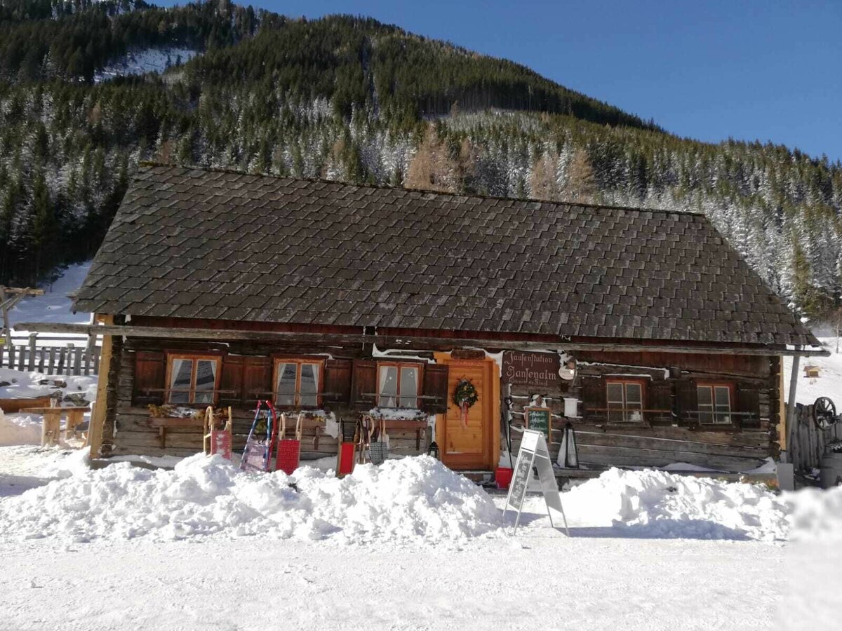
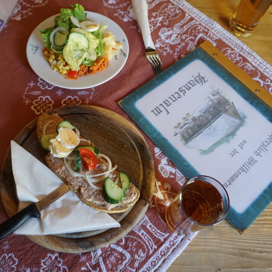
You start in St. Nikolai and you follow the federal road towards the Sölkpass to the Hansenalm about 1 kilometre - the road is officially closed in winter for motorized traffic. The walk takes about half an hour to the Hansenalm. The Hansenalm is starting point for lots of ski tours in our nature park and offers a lot of culinary delights.
Galeria obrazów
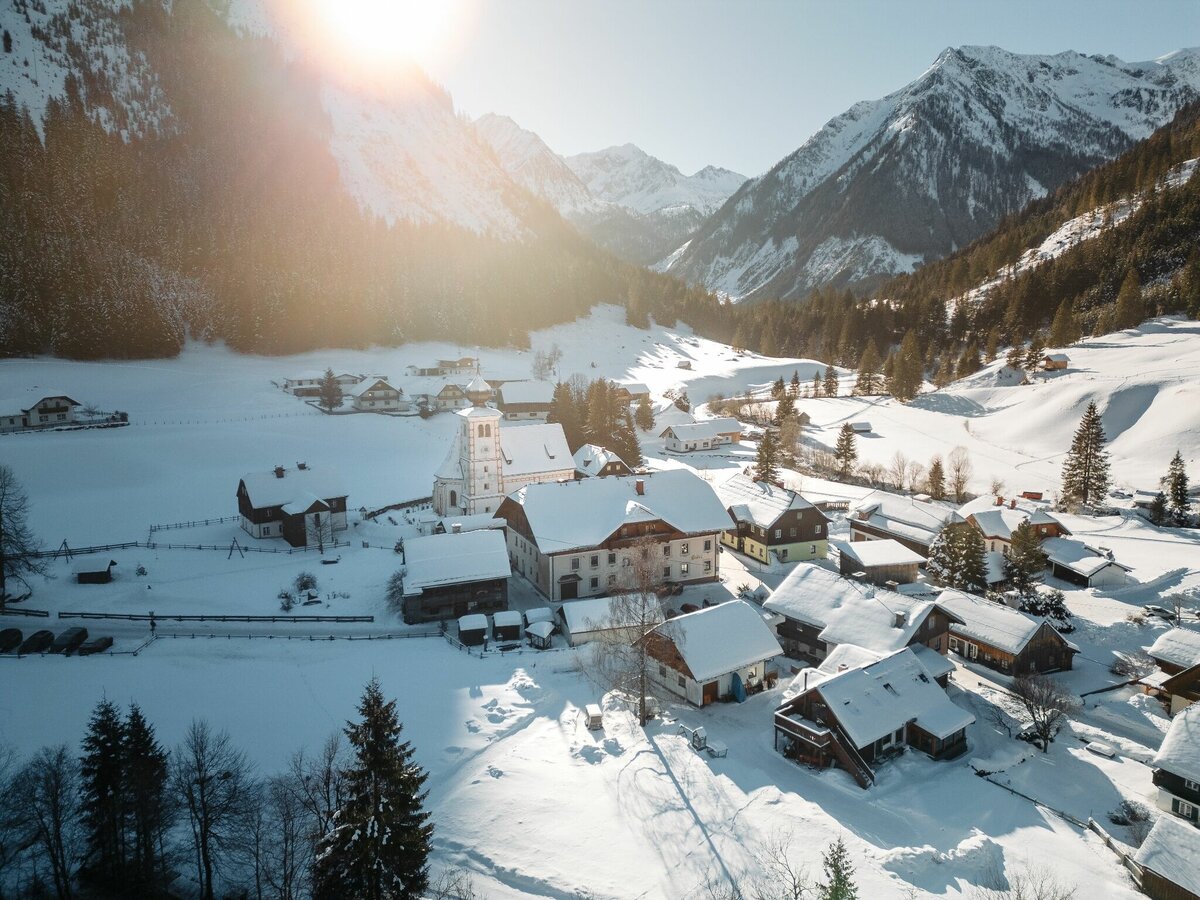
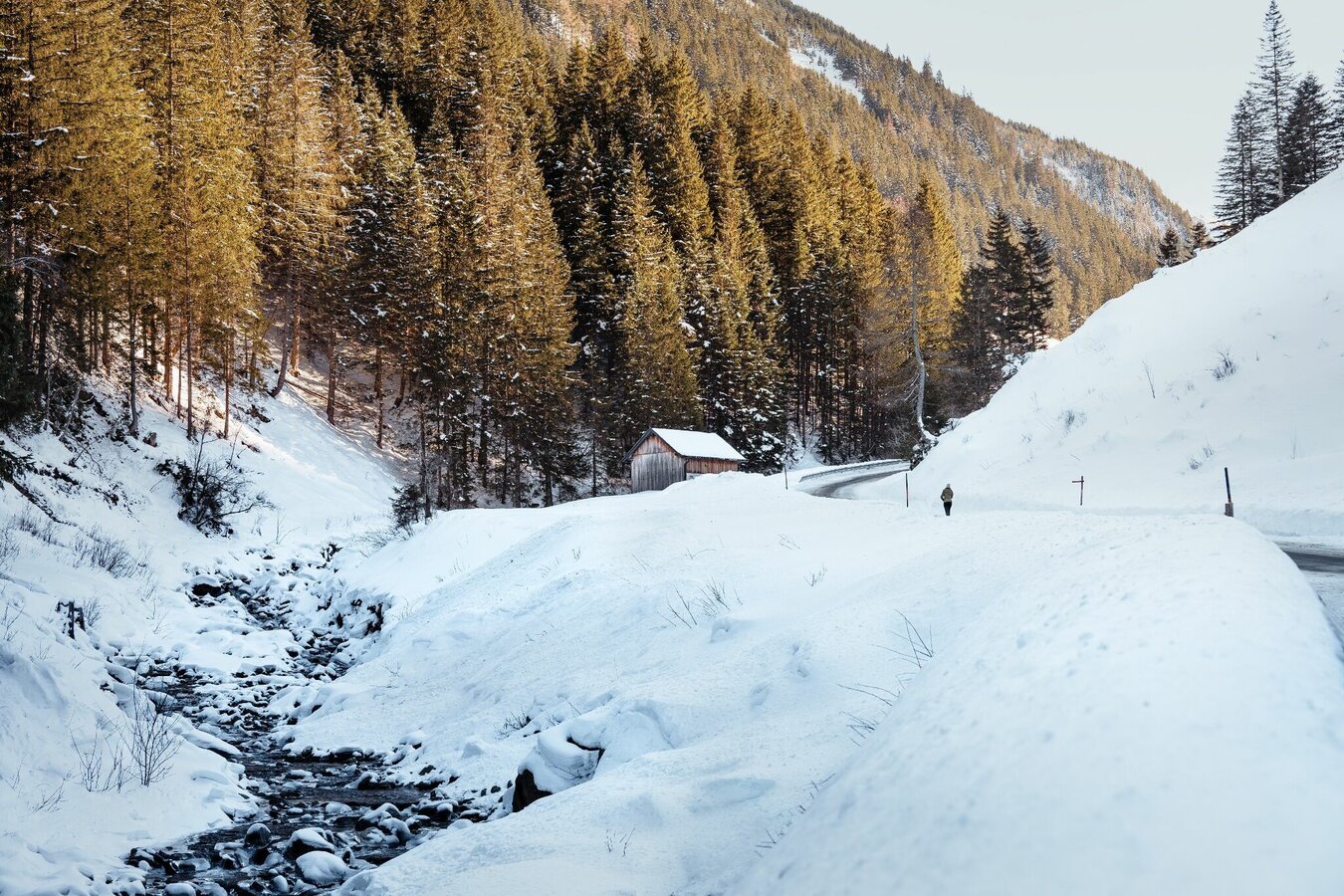
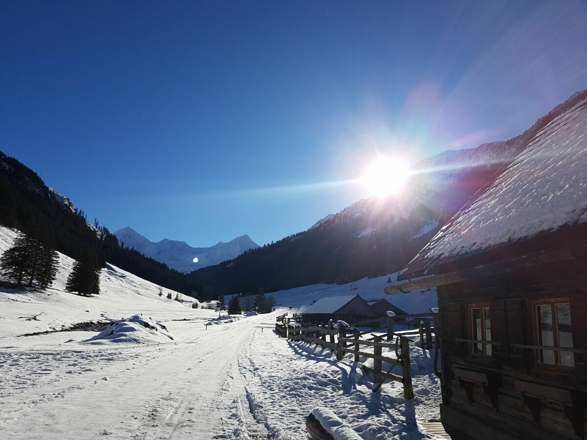
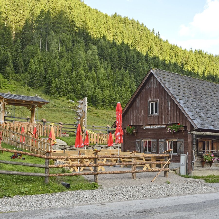


Starting from the parking lot in St. Nikolai, hike along the street (1 km) to the Hansenalm.
In winter, caution is advised on even supposedly easy tours. The ground can be slightly icy in shady places, and there is a risk of avalanches on slopes. Mountain sports are therefore - all the more so in winter - subject to personal responsibility. Before every ski tour or snowshoe hike, the current avalanche report should be checked - available at www.lawine.at. Tourism associations or avalanche warning services assume no liability for the information provided.
GPS data and orientation aids:
Available GPS data - as well as hiking maps - are only an orientation aid, since they can never represent an exact image or the richness of detail of a path in reality. Especially in the case of danger spots, it must therefore always be decided in the end on the basis of the conditions on site whether and how the further course of the path looks like.
- In case of emergency, please dial the following emergency numbers:
140 - for alpine emergencies - Austria-wide
112 - Euro emergency call GSM emergency call service
In winter, caution is advised on even supposedly easy tours. The ground can be slightly icy in shady places, and there is a risk of avalanches on slopes. Mountain sports are therefore - all the more so in winter - subject to personal responsibility. Before every ski tour or snowshoe hike, the current avalanche report should be checked - available at www.lawine.at. Tourism associations or avalanche warning services assume no liability for the information provided.
GPS data and orientation aids:Available GPS data - as well as hiking maps - are only an orientation aid, since they can never represent an exact image or the richness of detail of a path in reality. Especially in the case of danger spots, it must therefore always be decided in the end on the basis of the conditions on site whether and how the further course of the path looks like.
- In case of emergency, please dial the following emergency numbers:140 - for alpine emergencies - Austria-wide112 - Euro emergency call GSM emergency call service
Good winter shoes, warm clothing, tuque, and gloves. You might also want to carry a small backbag with a warm drink in a thermos jug.
SummitLynx - Your digital summit and hut book - available worldwide and always with you!
For more information please contact the Tourist Office Schladming DachsteinInformation office Nature Park Sölktäler:
Phone: +43 3687 23310 501naturpark@soelktaeler.comStein an der Enns 1078961 Sölk
Winter experience map Schladming-Dachstein MITTE, available at the tourist offices in the region.


