From Untertal to Steirischer Bodensee Lake via Neualmscharte
średnio trudne zamknięte Hiking · Schladming
The Alpinsteig Höll will be closed over the winter until probably mid-May 2024. As usual, the reopening will take place in spring after an appropriate inspection and renovation measures! The Seeleiten car park in Untertal is also closed.
Out of consideration for the wild animals, we ask that you behave particularly quietly and considerately when hiking here during the winter and only during the day outside of twilight hours.
This tour is thought of as a 1-day tour with crossing over the ridge of Neualmscharte. It is also possible, to make the ascent to Preintalerhütte chalet in the afternoon of one day, stay overnight and continue the larger part of the tour on the next day.
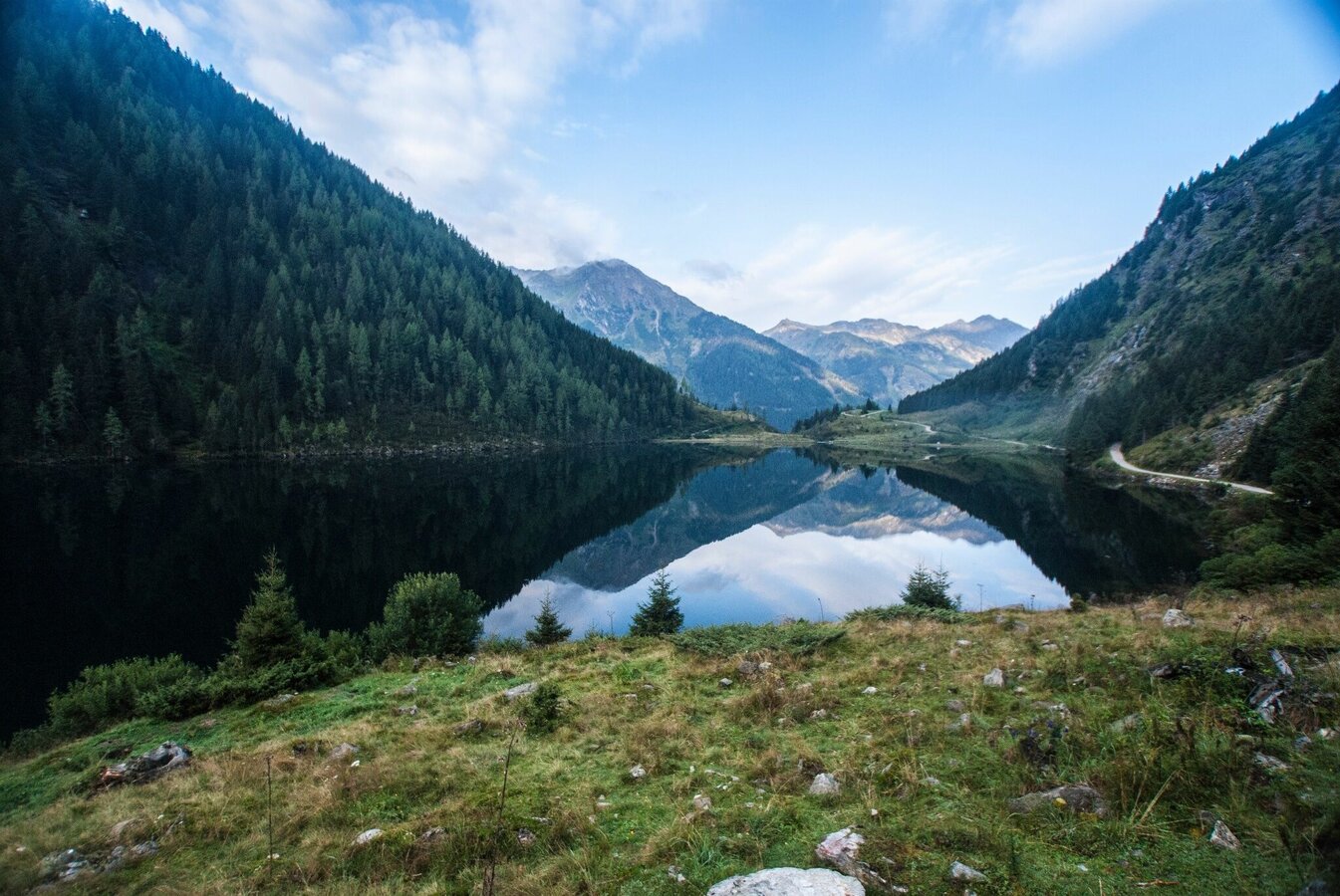
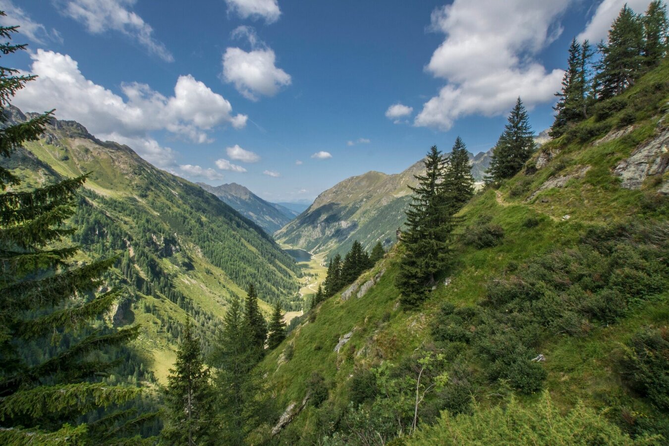
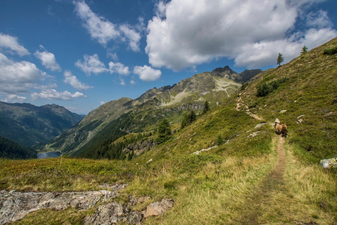
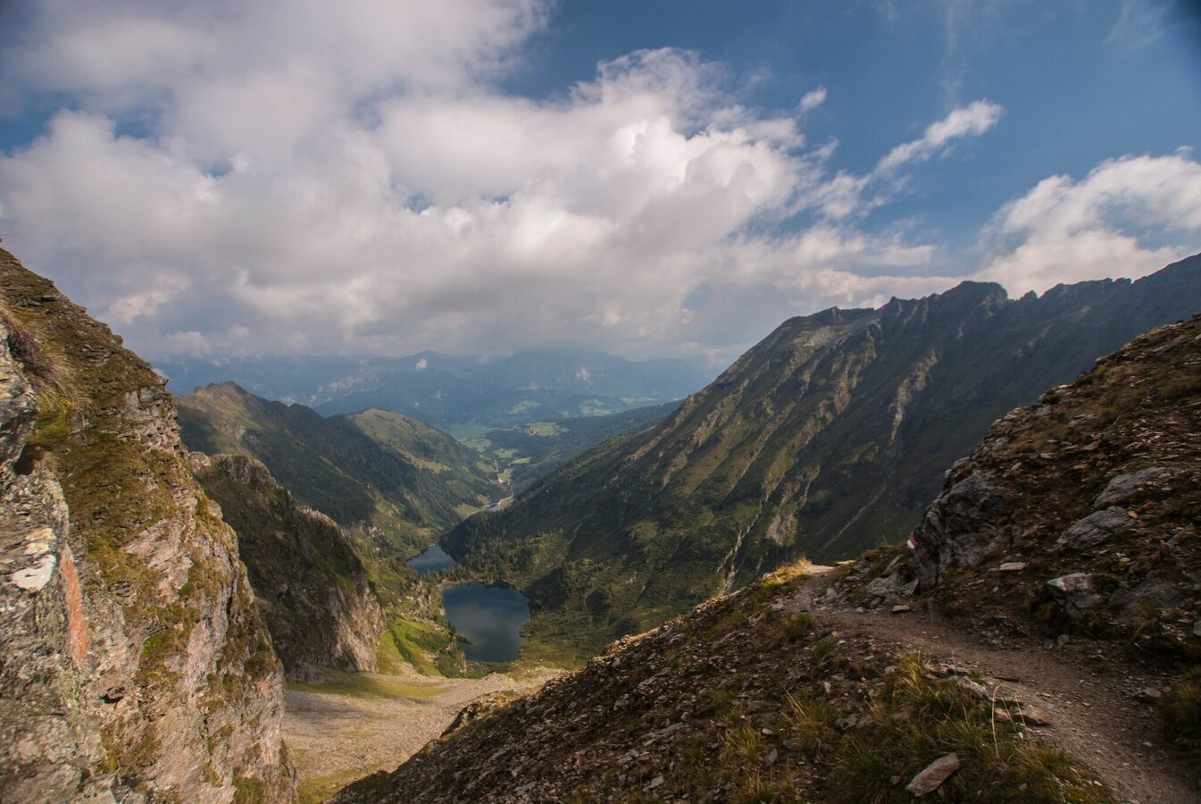
This alpine tour into high grounds in the heart of the Schladminger Tauern mountains passes by the highest peak fully located in the federal state of Styria - Hochwildstelle (2,747 m). The passage over Neualmscharte ridge rewards you with breathtaking views to the surrounding summits (Hochwildstelle, Waldhorn, Kieseck, Pulverturm) and mountain lakes and tarns (Wildlochsee Lake, Obersee Lake, Sonntagskarseen Lakes, Riesachsee Lake).
Galeria obrazów
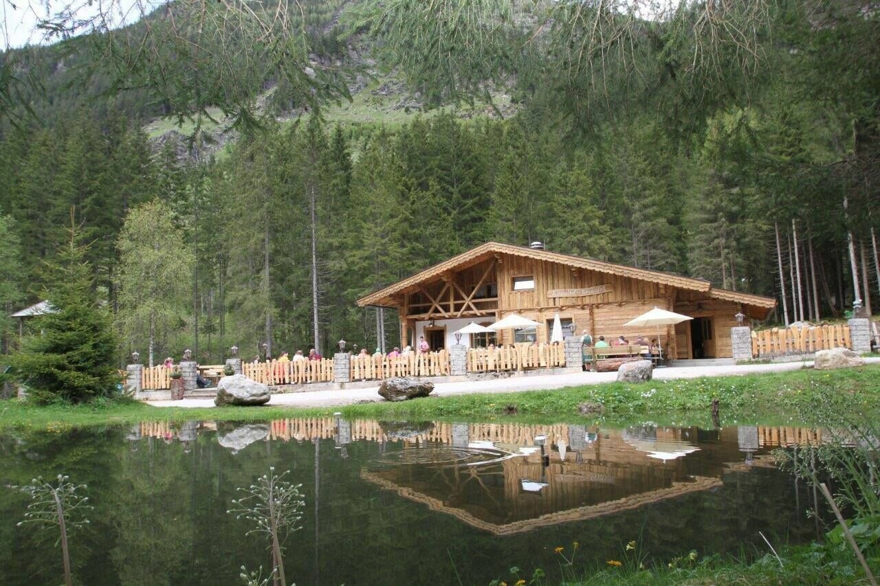
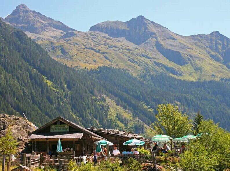
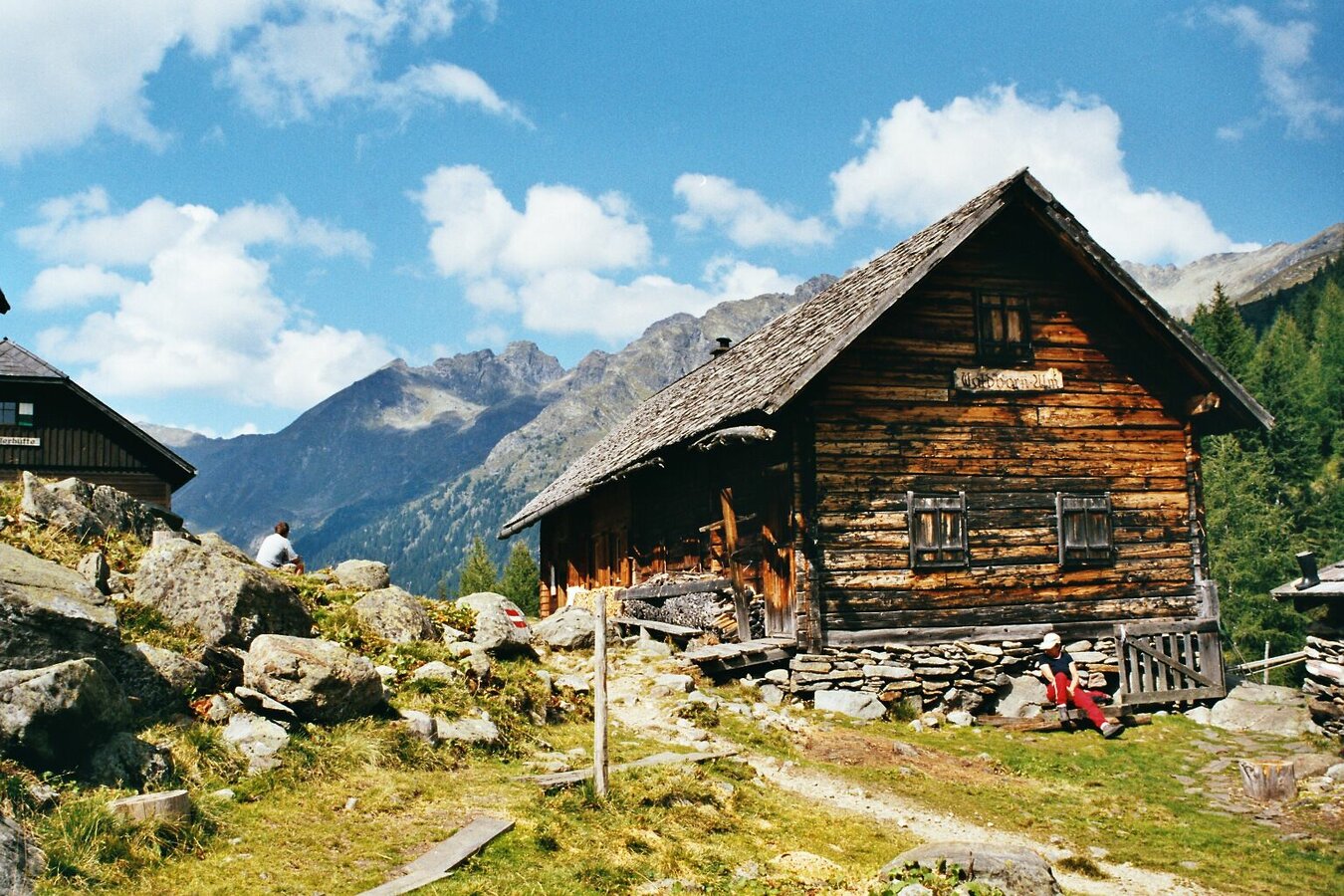
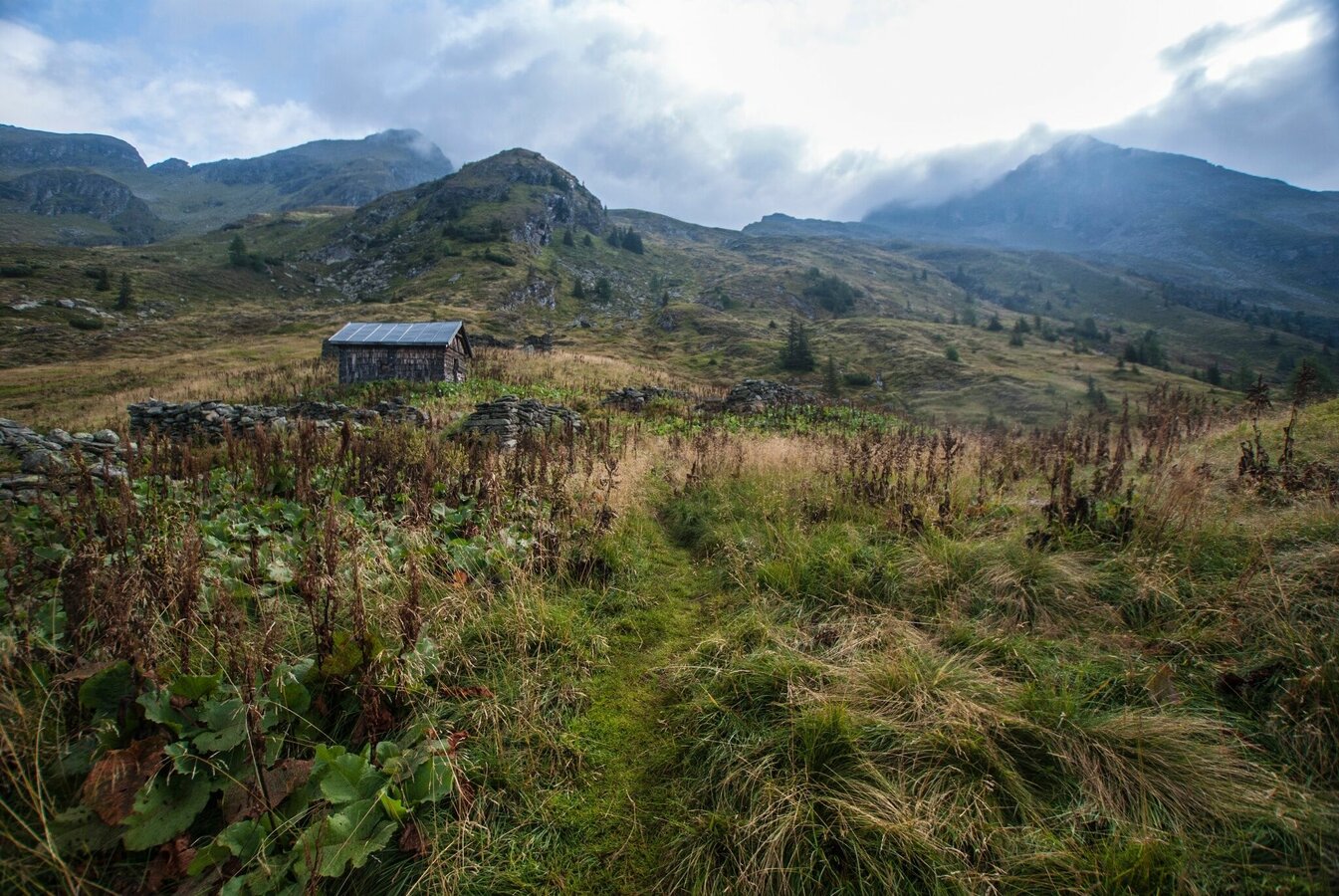
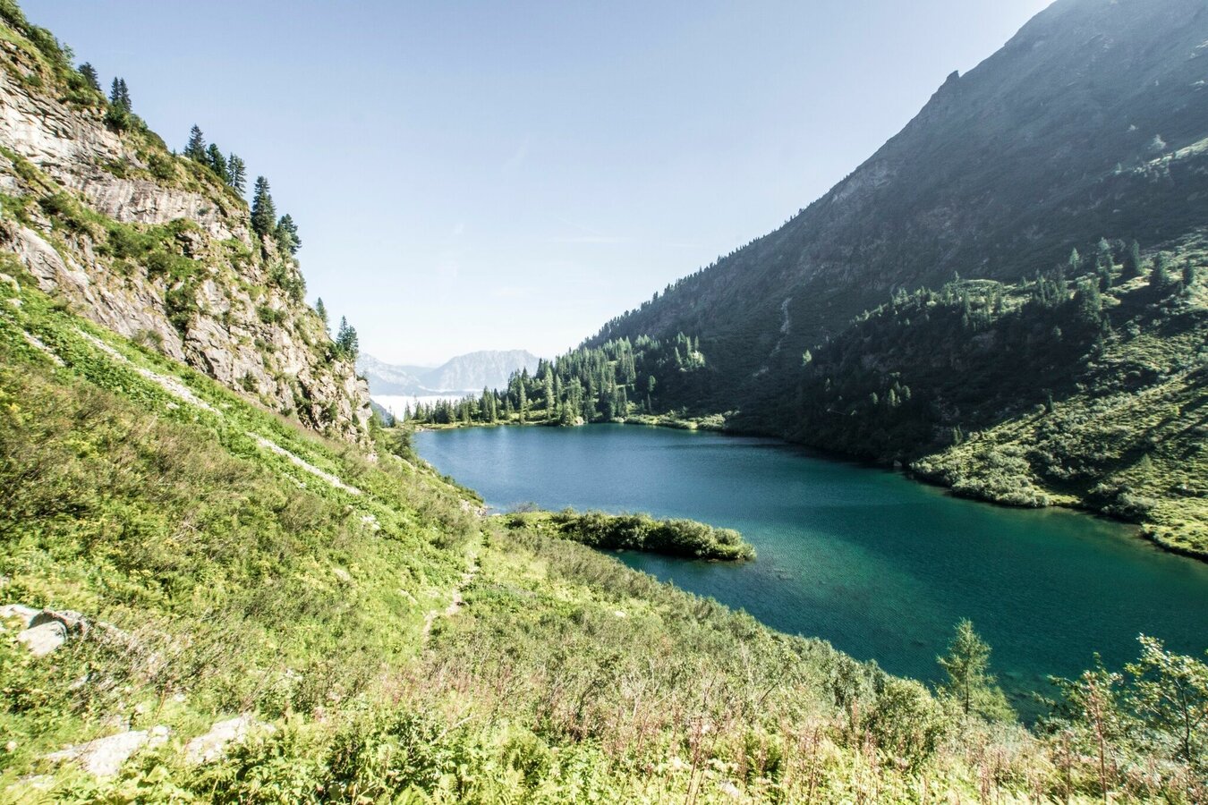
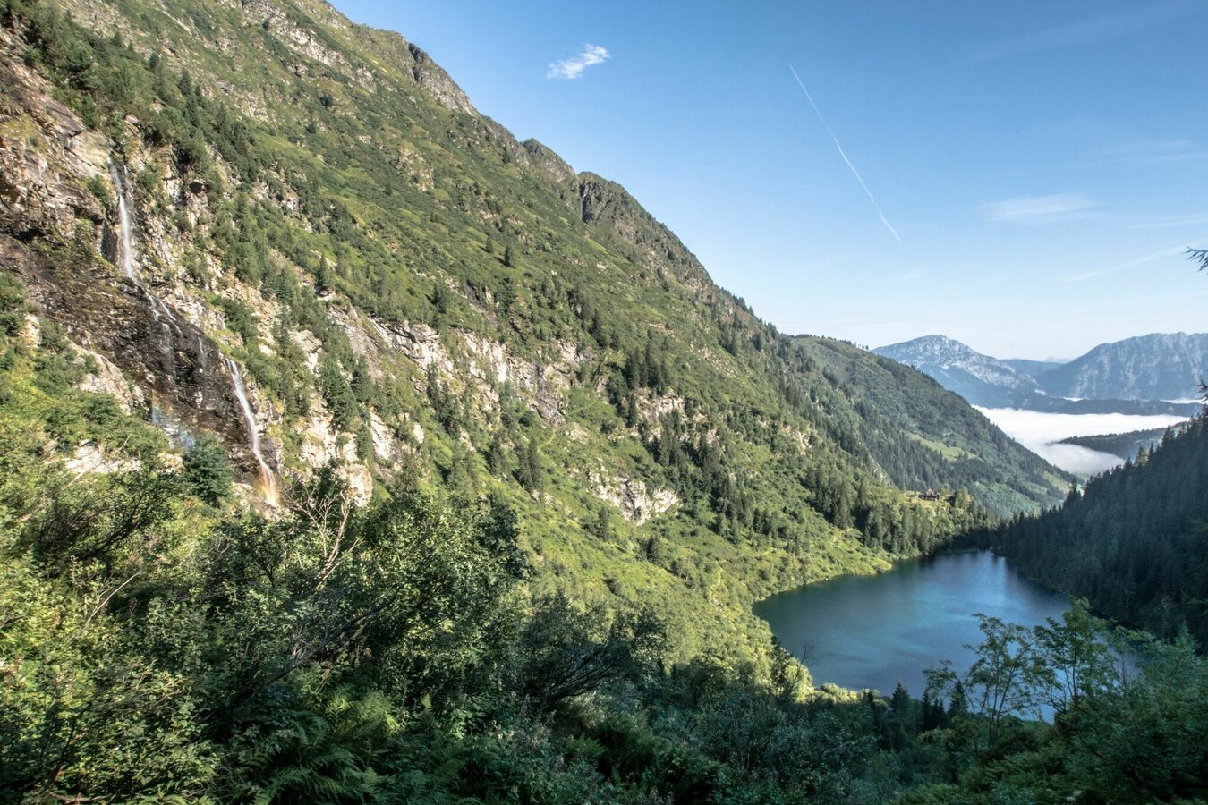
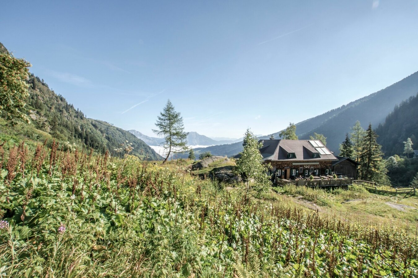


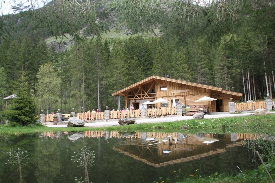
The tour starts at Seeleiten car parking at the valley head of Untertal valley. You can ascend to Riesachsee Lake via the alpine trail "durch die Höll" or via a forestry road (approximately 45 min.). From Gfölleralm Inn you follow trail n° 777, passing by Riesachsee Lake, Kaltenbachalm Inn and Kotalm Inn until you reach Preintalerhütte chalet after about 2-2.5 hours.
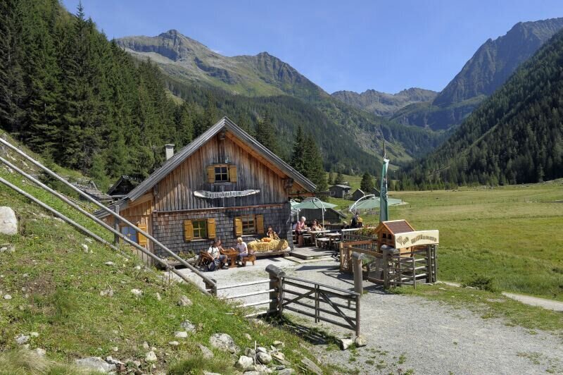
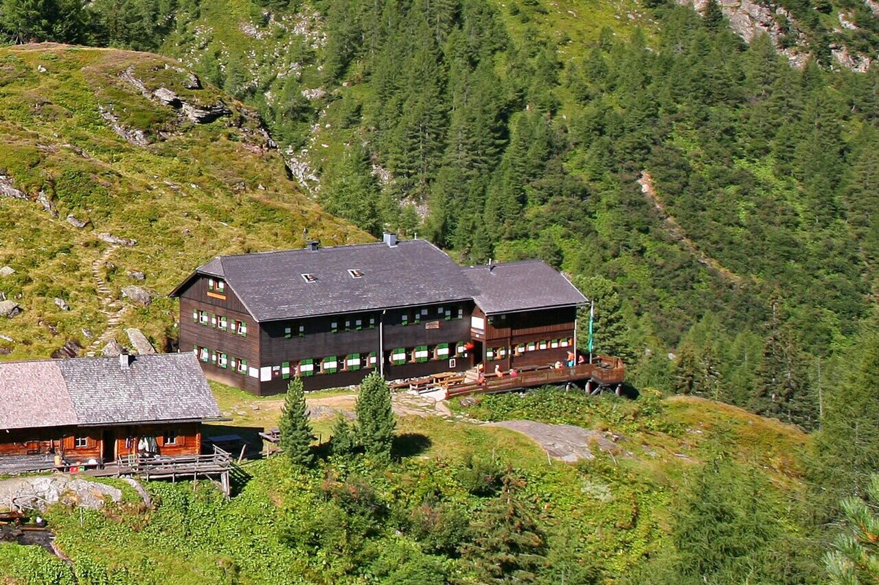
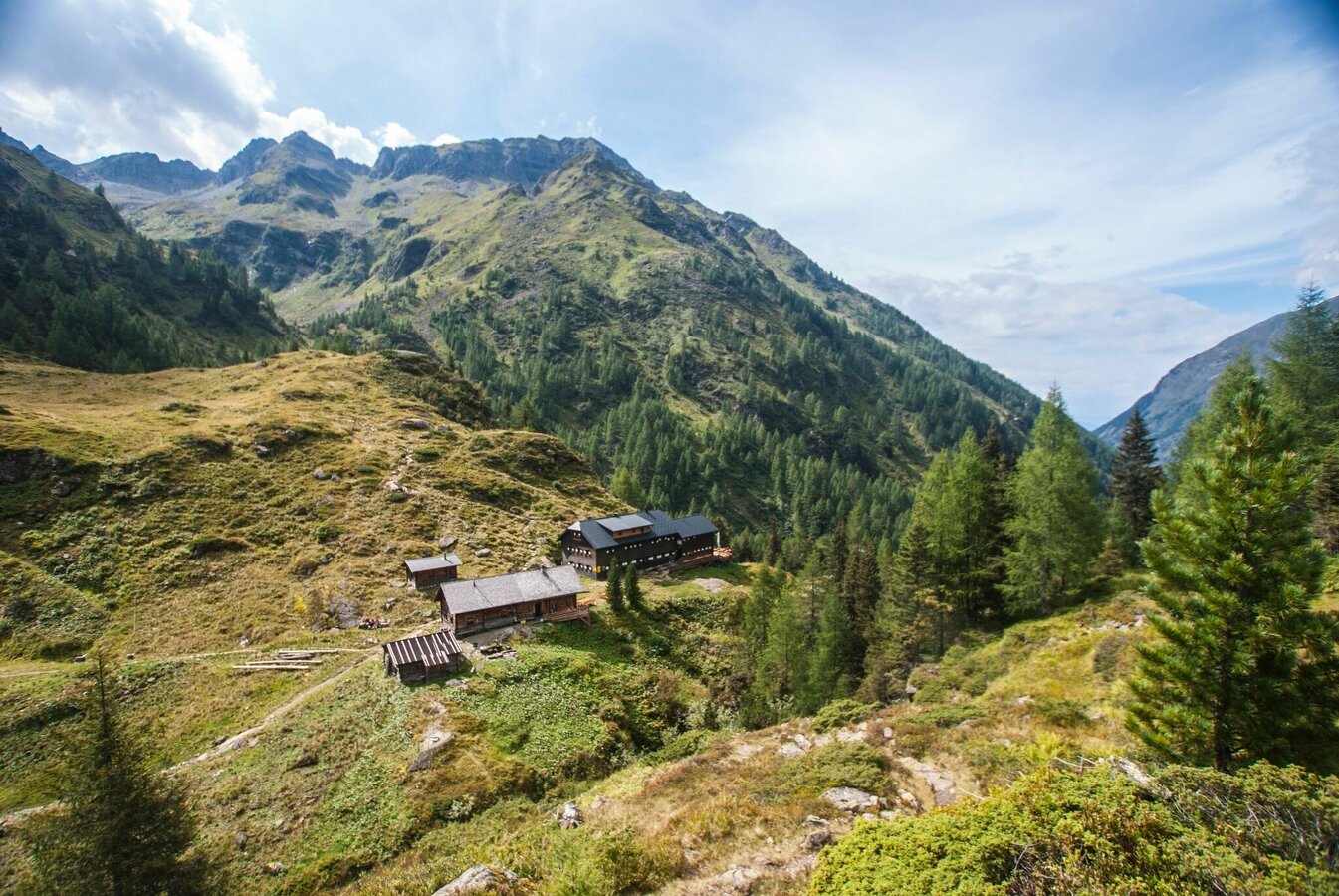
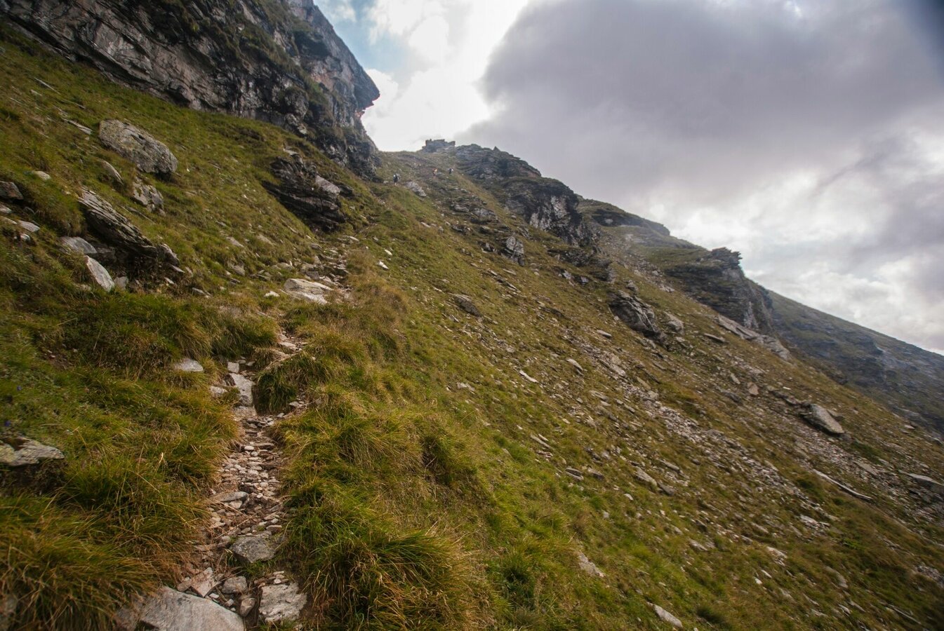
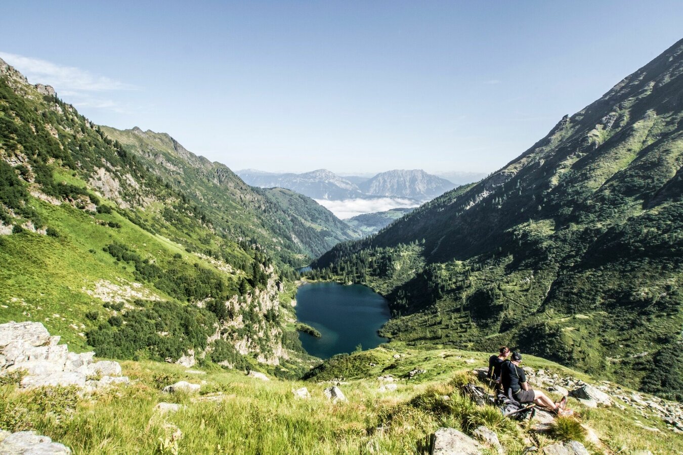
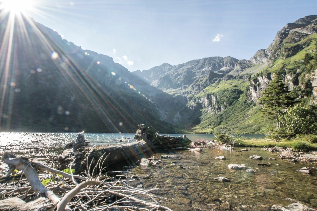
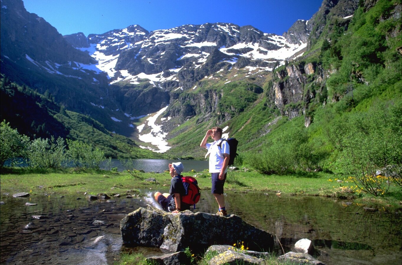
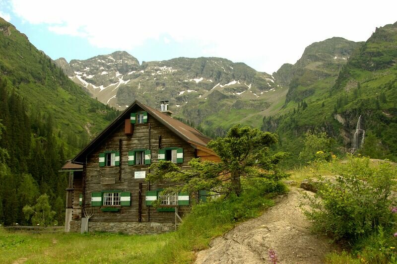
After a break (or overnight stay) at Preintalerhütte or Waldhornalm you continue on trail n° 782 towards Neualmscharte. Via "Höfertsteig" trail you hike up to Wildlochsee Lake and from there you continue to Neualmscharte ridge (2,347 m) - the highest point of this tour. Neualmscharte offers a breathtaking view to the surrounding summits and mountain lakes. From the ridge the trail descends quite steeply to Obersee Lake at the valley head of Seewigtal valley from where you continue out of the valley to Hüttensee Lake and Hans-Wödl-Hütte chalet (1,533 m), where a break for your feet will be more than welcome.
From Hans-Wödl-Hütte it takes you about 1.5 hours to reach the parking lot of Steirischer Bodensee Lake at Seewigtalstüberl Inn.
You can reach the trail head at Seeleiten car parking by Planai bus from Schladming or Rohrmoos. From Seewigtalstüberl there are daily buses throughout summer main season (30. Juni bis 9. September 2018) back to Schladming.
- Buses of Planai-Hochwurzen-Bahnen: www.planaibus.at
Surefootedness and a head for heights are required along this tour.
Changes in weather patterns, quick falls in temperature, thunderstorms, wind, fog and snow are some of the dangers that can be encountered on a hiking tour. Hosts of alpine huts and mountain refuges have a lot of experience in the mountains and can give good advice about weather and the trails. Poor equipment, overestimation of one's own capabilities, carelessness, poor personal constitution and/or wrong judgement can lead to critical situations. In case of thunderstorms: avoid summits, ridges and steel ropes.
GPS data and orienteering
Available GPS data - just like hiking maps - is only a guidance for orientation and can never depict a trail exactly with all its details. Especially at dangerous spots it is essential to judge on site how to proceed.
In an emergency please call:
- 140 - for Alpine emergencies (all over Austria)
- 112 - European GSM emergency number
Tourist information: www.schladming.com
Information about bus schedules: www.postbus.at
360° drone images
Get yourself an overview with our 360° drone images:
- View up to Neualmscharte ridge: https://vonoben.schladming-dachstein.at/sommer/index.php?S=317
- View over Riesachsee Lake: https://vonoben.schladming-dachstein.at/sommer/index.php?S=318
- Hiking map Schladming, 1:25.000, available at the tourist office Schladming.
- Hiking map Schladming-Dachstein, 1:50.000, available at the tourist office Schladming.
- Wanderführer Schladming-Dachstein von Herbert Raffalt, erhältlich im Tourismusverband Schladming.


