From Sattental to the Goldlacken
średnio trudne Hiking · Gröbminger Land
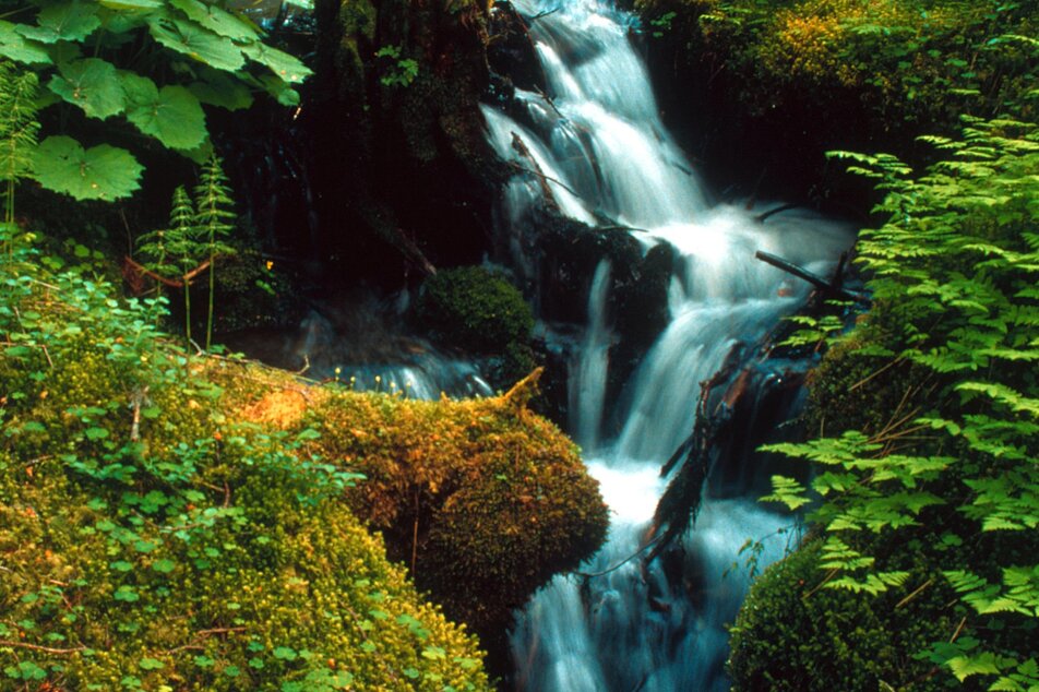
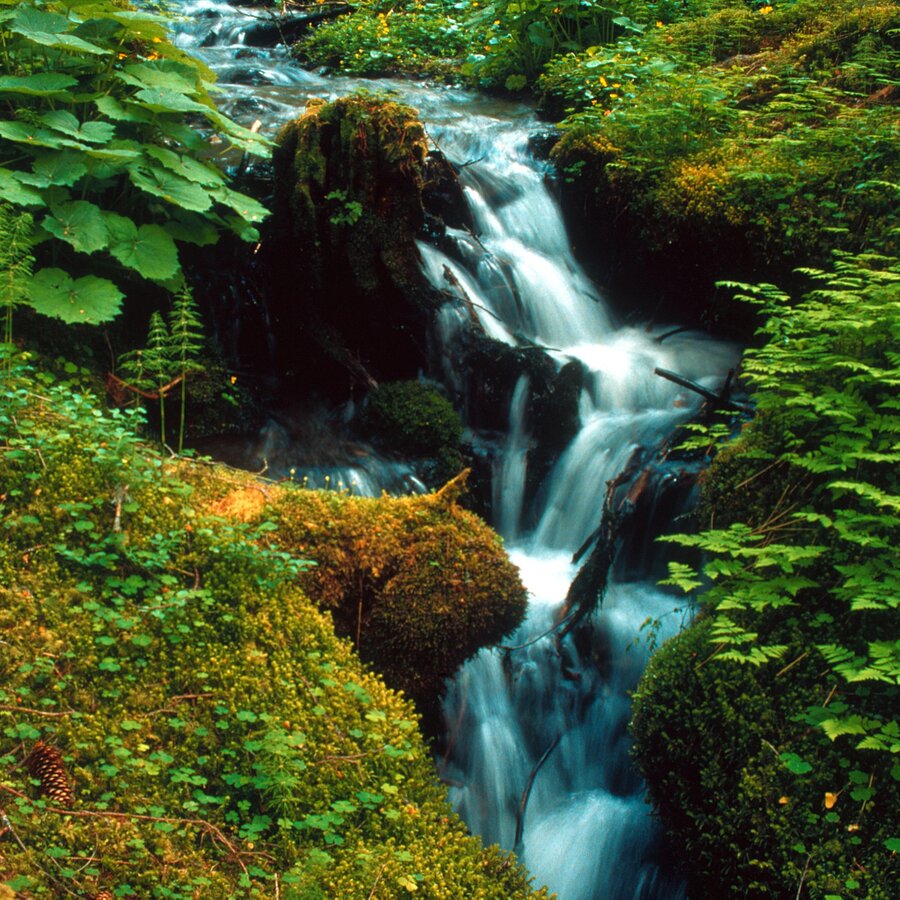
The ride through Sattental Valley (9 km) to the grazing areas is special in its own right. From the P, we follow a flat path for about 30 minutes, taking us through a charming high valley dotted with numerous alpine huts, as far as the valley head.Now begins a steeper climb through an enormous cirque, enclosed on 3 sides. Small waterfalls, slabs of rock, old larch and pine flank the narrow trail up through the Langschneerinne to the grassy ridgeline, affording us beautiful views of the Stierkarsee, a lake 100 m below us (a good 2-hr. hike to this point). Things now continue quite differently: the high ridge provides us with open views, the trail winding its way up through several rocky stages (pay close attention to the trail markings), past small waterfalls, until we come to a flat, open rocky plateau with numerous ponds and lakes. This is a “mini Klafferkessel” in high-alpine terrain, with unobstructed views to the N. The waters are surrounded by grass and moss, an area that does not lose its ice and snow until July. The summit of the Hochwildstelle is really enticing, its south-east ridge reachable via Trattenscharte and Wildlochscharte gaps – about a 1 ½ -hr. hike with some easy scrambling from the lakes to the summit. Only for experienced mountaineers! But back to the Goldlacken for a moment – this is an attractive, though remote destination for tourists. Hike down along our original route.
Galeria obrazów

Safety information Safety on the mountainside: changes in the weather, sudden fall in temperature, thunder storms, wind, fog and snow fields are all objective dangers and require the correct behaviour whilst underway. The landlords of the huts are all very knowledgeable about the mountains and can give you good tips about the weather and the routes. Insufficient equipment, exaggerated opinion of ones capabilities, frivolousness, poor health condition and a false evaluation of the situation can lead to a critical situation. In thunder storms: summits, crest-sites and safety rope aids are to be avoided.
If something should happen call following emergency numbers:No. 140 - the number for all Alpine Emergencies in all of AustriaNo. 112 - European emergency call GSM emergency-call-service


